Trails in Ceahlău: Izvorul Muntelui – Poiana Maicilor – Dochia Mountain Lodge
Trail in Ceahlău: Izvorul Muntelui - Poiana Maicilor - Dochia
This trail in Ceahlău is the most popular on the western slope. In winter, snow accumulation on Ocolasul Mic makes it harder to follow. The walk between the two mountain lodges takes approximately 4 – 6 hours (depending on the group's fitness). The trail is 9 km long and is marked with a red stripe.
The trail starts in front of Izvorul Muntelui Mountain Lodge. After glancing towards Dochia Mountain Lodge, as if anticipating the moment you will reach the heights of Ceahlău, you shoulder your rucksack and start walking along the main road linking Izvorul Muntelui to Durău. Just after the first right-hand bend, you will see the red stripe trail marker.
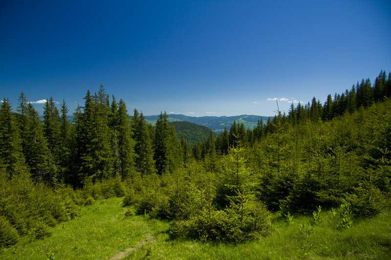
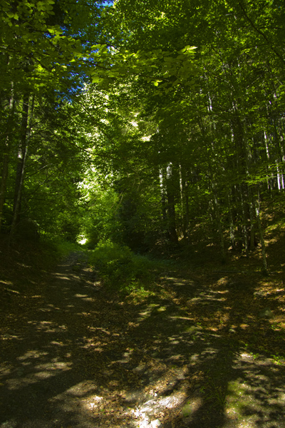
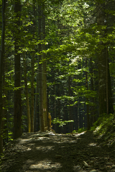
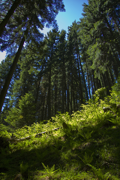
The path crosses the road twice more before heading into the beech and fir forest on Ceahlău for good. Soon you will see the Maicilor Stream to the left of the path; after nearly 1 hour of walking, you cross it to climb towards Poiana Maicilor. The stream is easy to cross at the foot of Jgheabul Armenilor. Before long, you reach Poiana Maicilor. Continue through the glade to the trail sign on a metal post marking the point where you re-enter the forest.
9km
The trail is 9 km long and is marked with a red stripe.
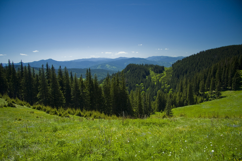
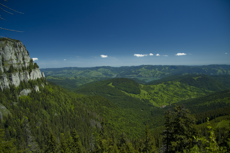
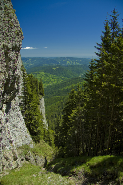
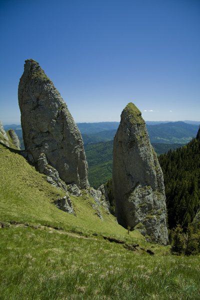
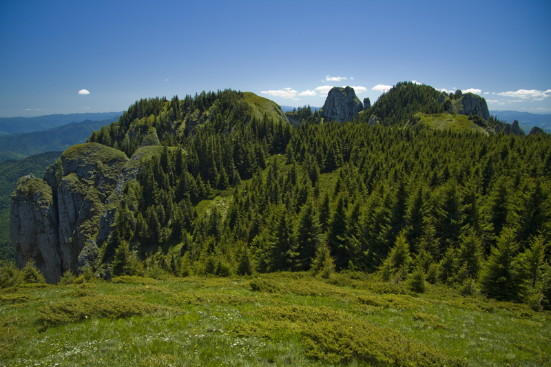
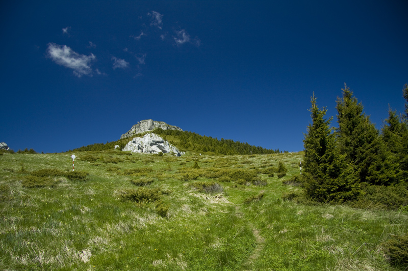
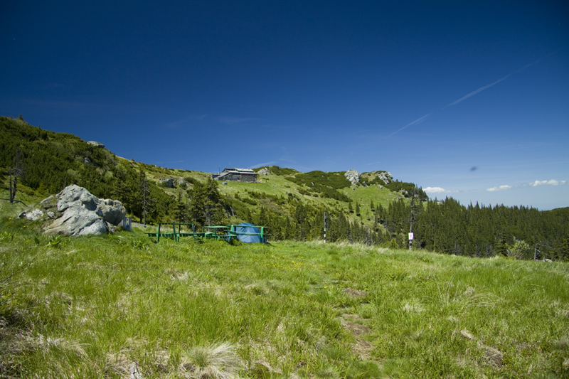
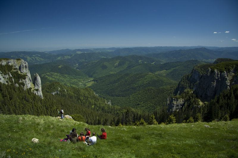
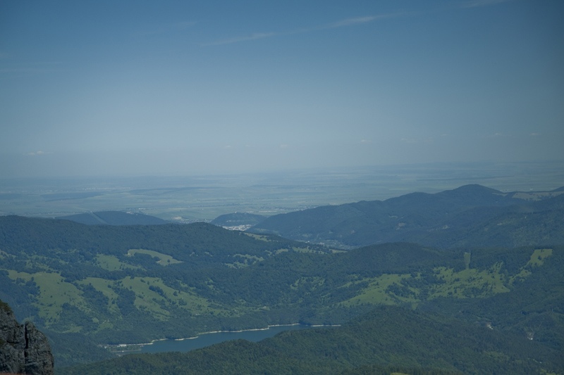
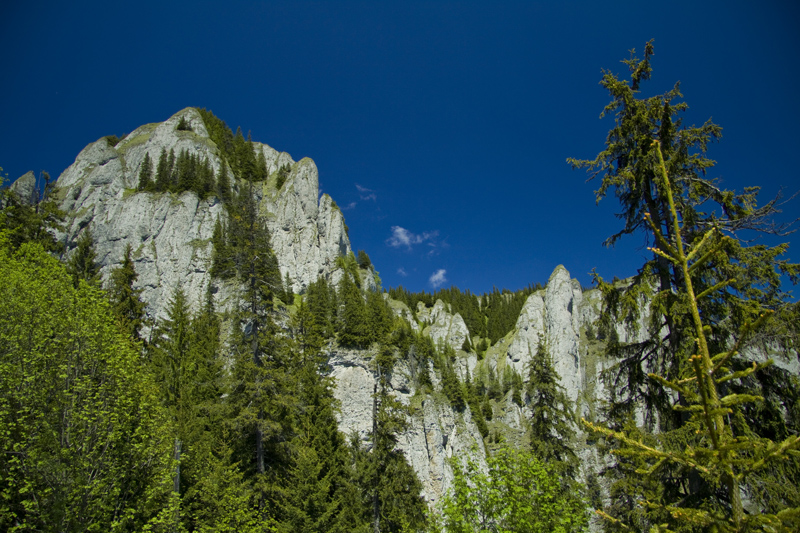
Once you reach this sign, we recommend walking along the ridge to a former sheepfold before continuing on the trail. From there, you can admire (and photograph) the entire cliff face of Ocolasul Mic. If you are accompanied by someone who knows the mountain and its rocks well, you can admire, from left to right: Butu si Ana Tower (also called Budu or Budei by locals), Asezatoarea Oilor, Caciula lui Ciuperca, Vanturis Peak, Matura Vrajitoareai, Jgheabul Armenilor. These are just a few of the many named rock formations you can admire in Ceahlău.
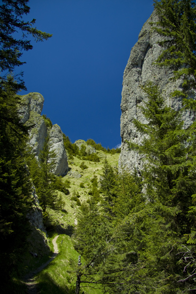
After entering the forest, the path winds through raspberry bushes before reaching the foot of Jgheabul Clailor. As you climb this gully, you will see two rocks on your right that seem to spring from the ground: Claile lui Miron. The rock called Caciula lui Ciuperca lies to the left of the path, with Vanturis Peak to the right. The path soon emerges into a large glade, where Masa Dacica and Coloana Dorica can be seen in the distance. The trail bears right and soon re-enters the forest.
The trail descends for a stretch before climbing among rocks and small streams. At one point, the slope becomes steep, and the trail climbs between Piatra Lata din Ghedeon (on the right) and Viperei Rock (on the left). From here, it is only a short distance to the campsite at Dochia Mountain Lodge. Within 15 minutes, you reach the lodge, where drinking water is also available. The view is superb, and on sunny days you can even see Pietricica Mountain in Piatra Neamț.
More on the same topic
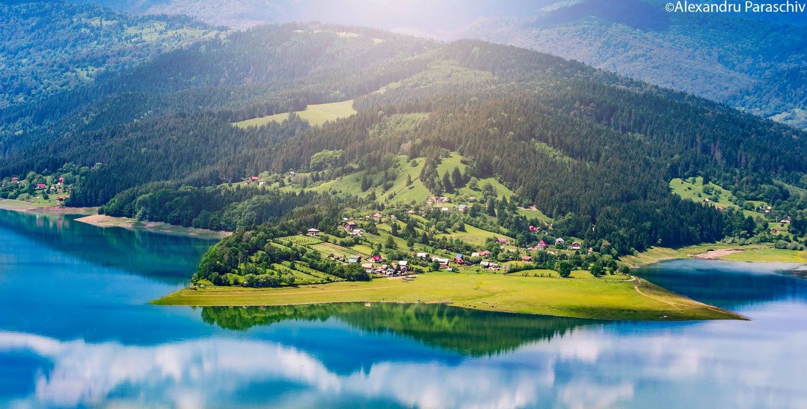
Nominations for Destination of the Year 2025
In the category Enchanted Realms – Geographical areas or localities with a rich treasure of nature, history and tradition our proposal is: The city of Bicaz and its surroundings.

Attractive Romania presents “Neamțul în Bucate”
The culinary story of Neamț County invites travelers on a fantastic journey, a tour of its four picturesque regions, filled with tales and flavors that combine tradition, ecotourism and fresh, delicious dishes.
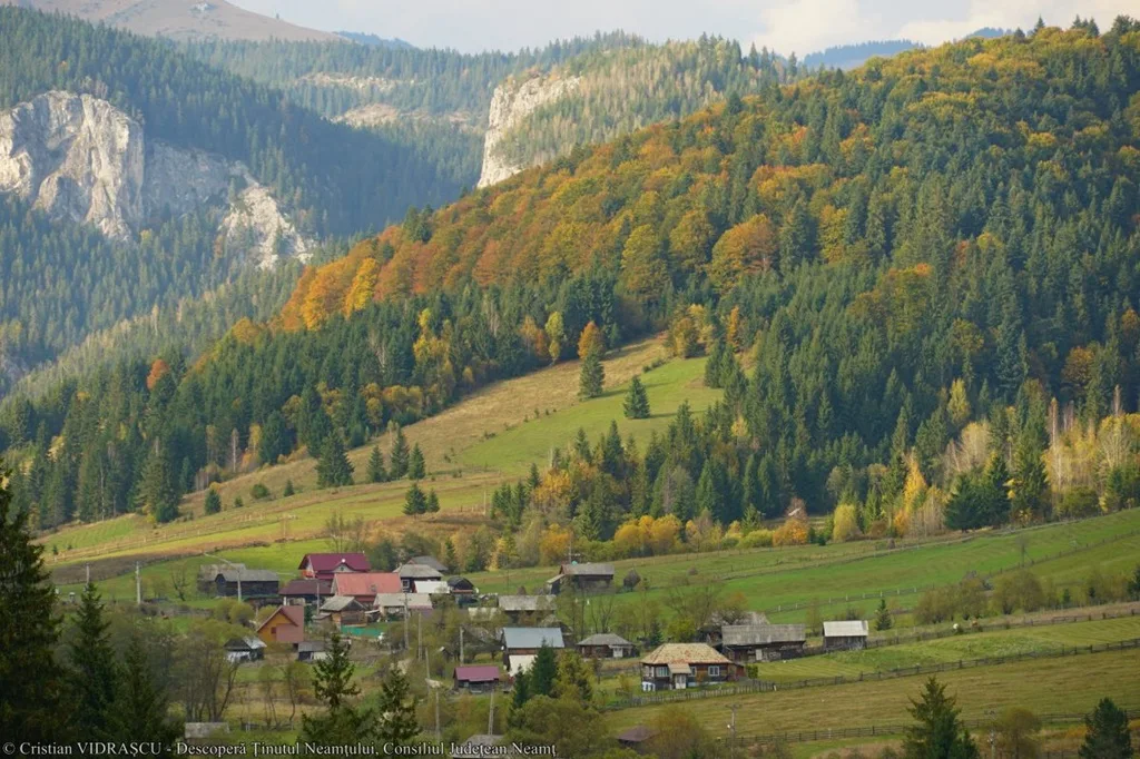
Mountain Villages, Picturesque Areas in Neamț
Tourists can now orient themselves better in a particularly beautiful area of Neamț, where the landscapes take your breath away.