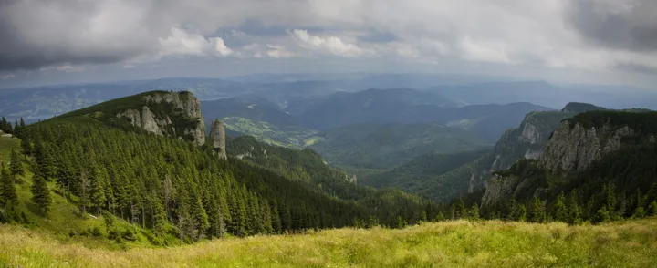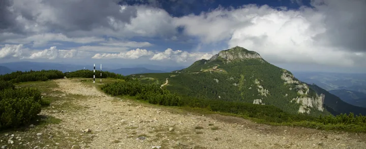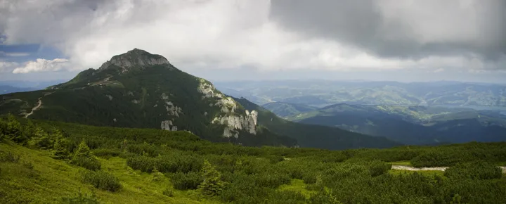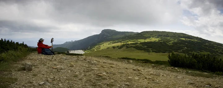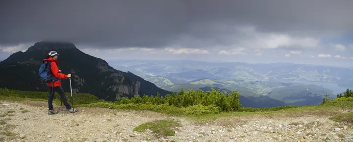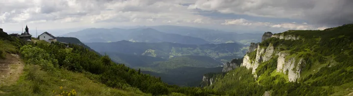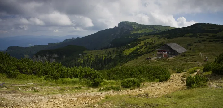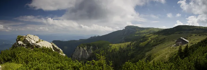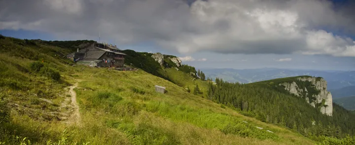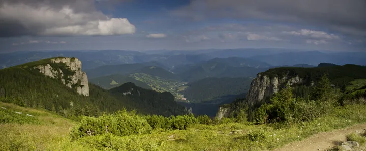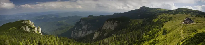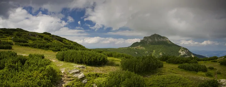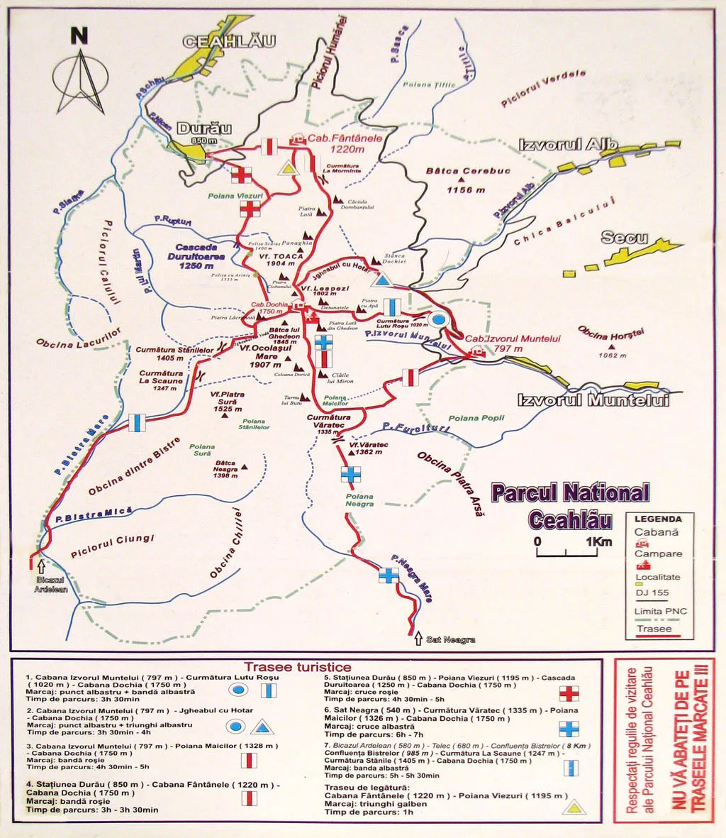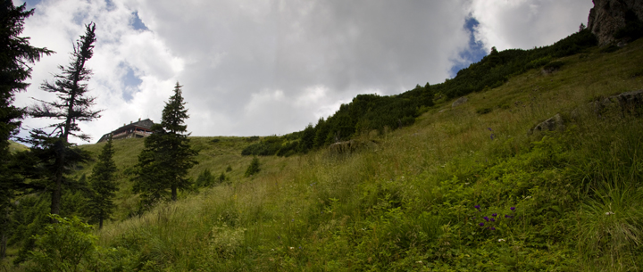
These routes are for the tourists that love mountain hiking. Here are 7 routes in theNational Park Ceahlauthat are recommended for the public and that are perfectly safe:
Route 1 (the south-east side): Izvorul Muntelui Chalet (797 m) – Poiana Maicilor (1328m) – Dochia Chalet (1750 m) Bookmark: the red line Time: 6 – 7 h The distance: 9 km The level difference: 953 m Observations: – forbidden during the winter – difficulty: high Read a completedescription of this touristic routewith photos and video.
Route 2 (the east side):Izvorul Muntelui Chalet (797 m) – Curmătura Lutu Roșu (1020 m) – Dochia Chalet (1750 m) Bookmark: the blue line Time: 3h 30min The distance: 6 km The level difference: 953 m Observations: – accessible the entire year – between the Cabin Izvorul Muntelui and the national road 155F the bookmark is the blue dot – difficulty: medium Read a completedescription of this touristic route.
Route 3 (the east side):Izvorul Muntelui Chalet (797 m) – Dochia Stone (1185 m) – Jgheabul cu Hotar – Dochia Chalet (1750 m) Bookmark: blue triangle Time: 3h 30min- 4 h The distance: 7,5km The level difference: 953 m Observations: – between the Cabin Izvorul Muntelui and the national road 155F the bookmark is the blue dot – difficulty: medium
Route 4 (the north side):Durau Resort (800 m) – Fantanele Chalet (1220 m) – Dochia Chalet (1750 m) Bookmark: the red line Time: 3h – 3h 30min The distance: 7,5 km The level difference: 950 m Observations: – difficulty: mediun – from the Fantanele Chalet you can reach Poiana Vesuri (Route 5) by following the bookmark yellow triangle Read a complete description of thisroute