Mountain trails
Hiking in Ceahlau: Izvorul Muntelui – Poiana Maicilor Plane – Dochia Chalet
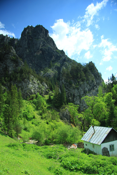
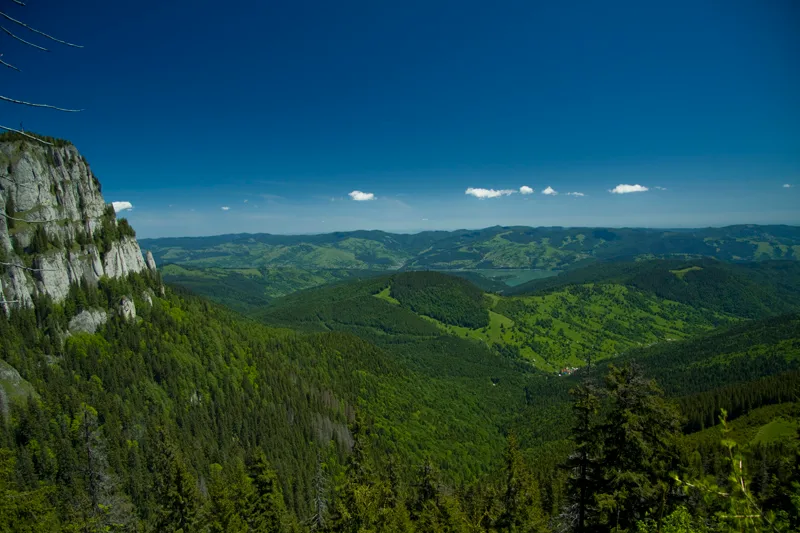
This hiking route is one of the most used on the west side ofCeahlauMountain. During winter, because of the high quantities of snow from Ocolasul Mic the route is not recommended. The time necessary to make this hiking route is between 4 and 6 hours (depending on how well trained the group is). The length of the route is about 9 km and the marking is a red line.
The hike will start in front of Izvorul Muntelui chalet. After you look one more time at Dochia chalet, anticipating the moment when you’ll be on top of Ceahlau Mountain, you take your backpack and start walking on the road that goes from Izvorul Muntelui to Durau Resort. After the first curve to the right you’ll see the first red line markings.
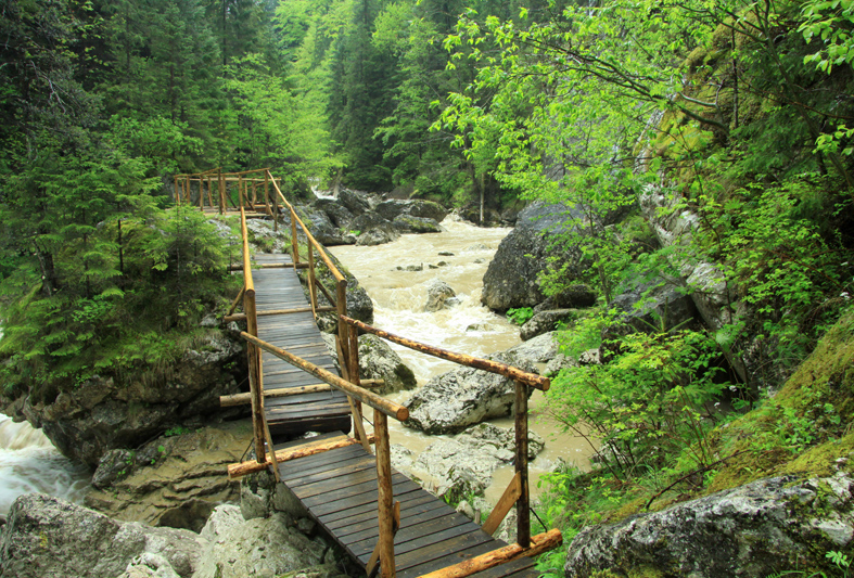
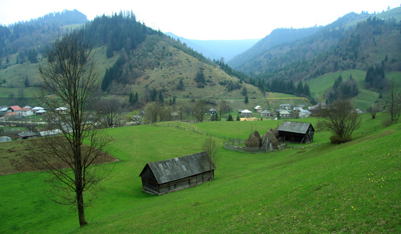
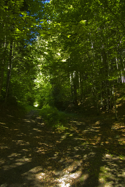
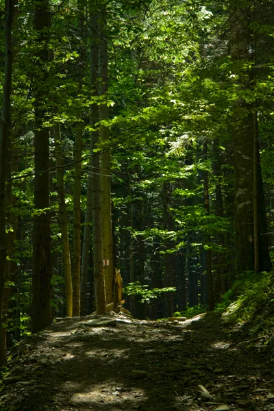
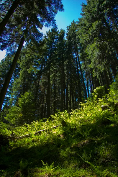
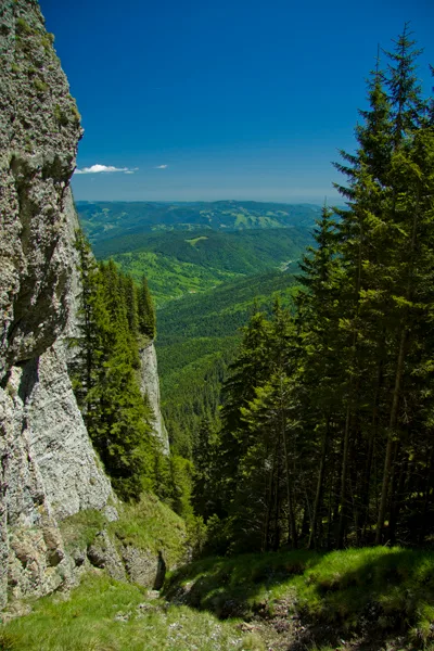
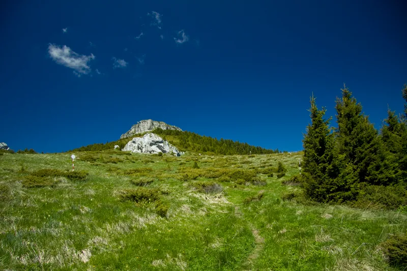
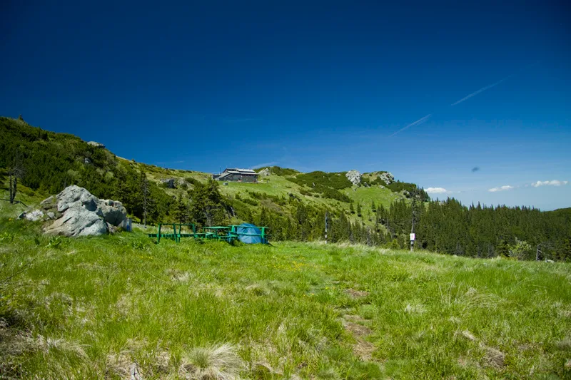
The trail will cross the car-road two more times before entering into the forest of beech and fir. Shortly after, on your left you’ll see Maicilor Creek. After an hour you’ll have to cross it at the base of Jgheabul Armenilor Gutter. The trail goes up and it doesn’t take too long to reach Poana Maicilor Plane. You continue to hike through the plane until you’ll reach the steel pillar that marks the point where you enter the forest again.
More from the collection
Open the collection