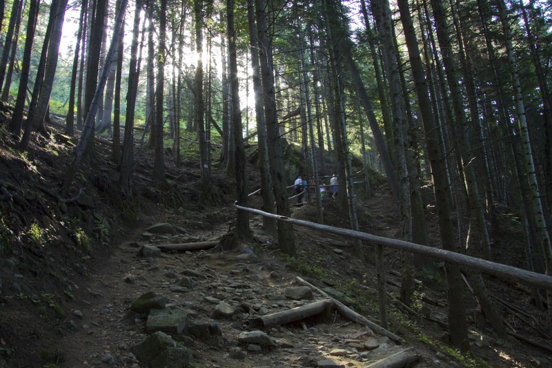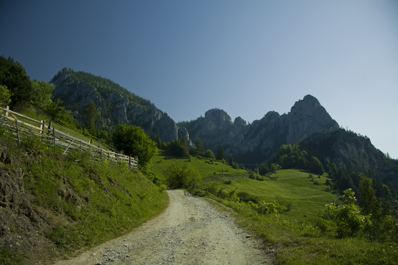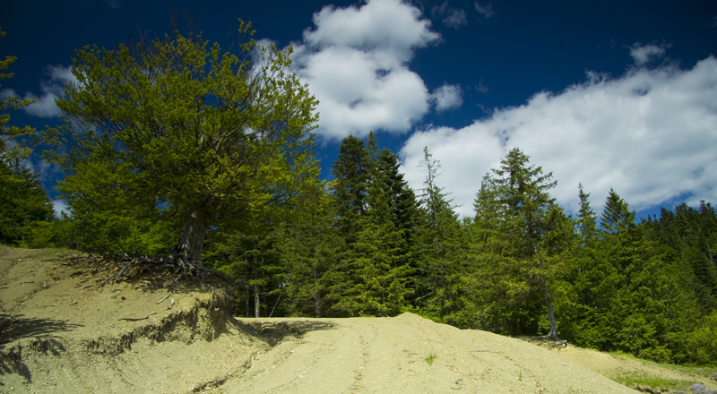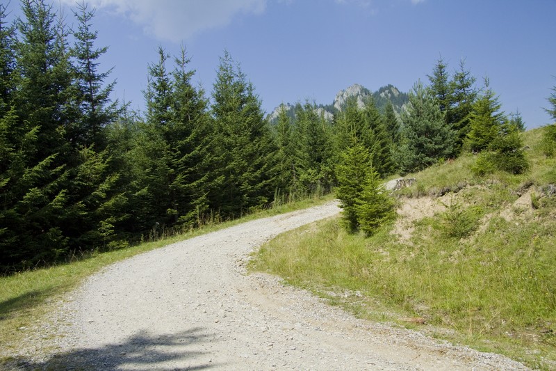
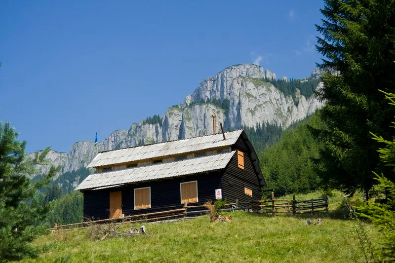
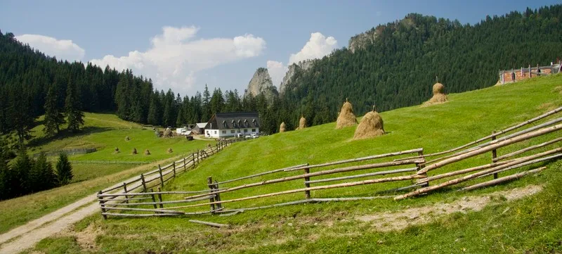
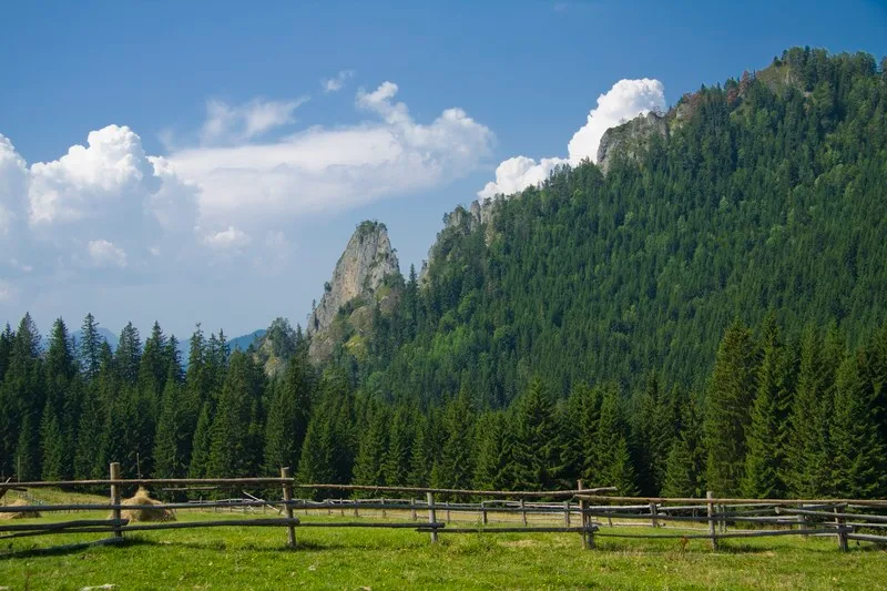
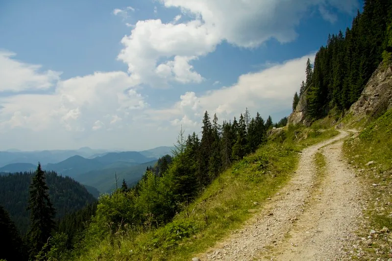
This touristic route is located on the south west region ofCeahlau Massif. Here are some points along the route: Bicazul Ardelean (580 m) – Telec (680 m) – Curmatura Stanile (1420 m) – Dochia Chalet (1750 m). The route is marked with a blue line on a white background. The length of the route is 17 km.
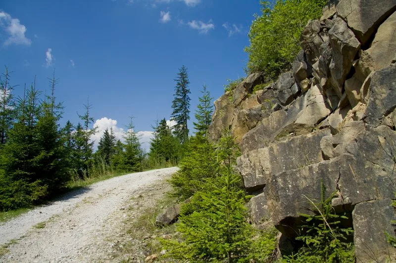
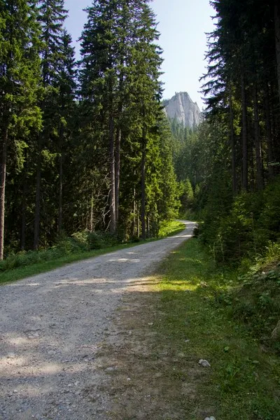
The route can be made on foot from Bicazul Ardelean village toDochia Chaletor by car to the end of the dirt road that goes through “Poiana Stanile” Plane and then by foot on a 1 hour hike trail to the top of Ceahlau Mountain.
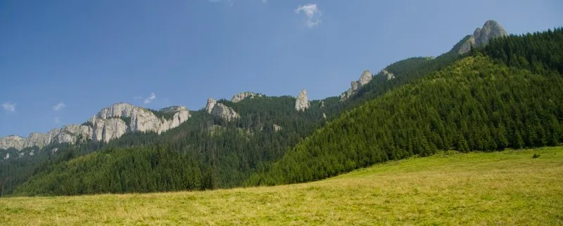
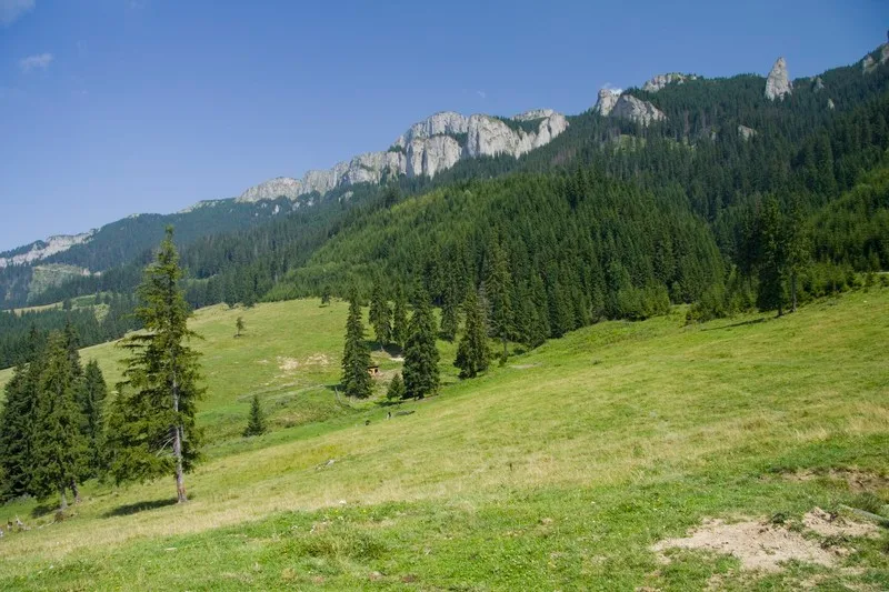
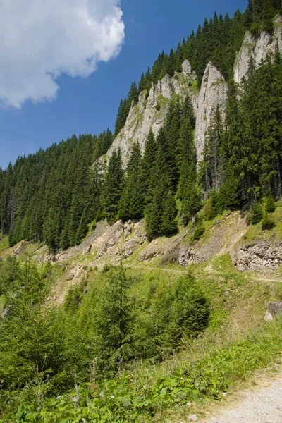
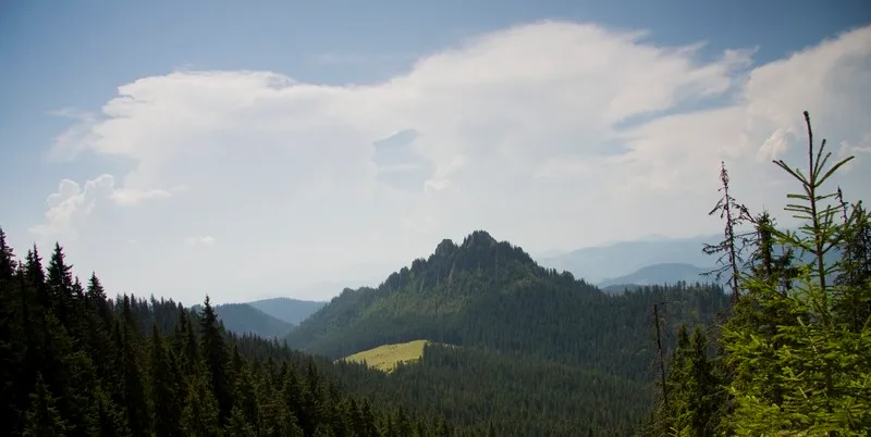
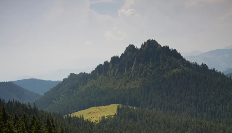
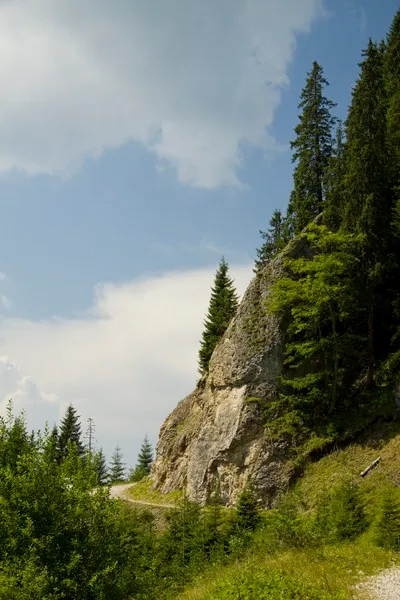
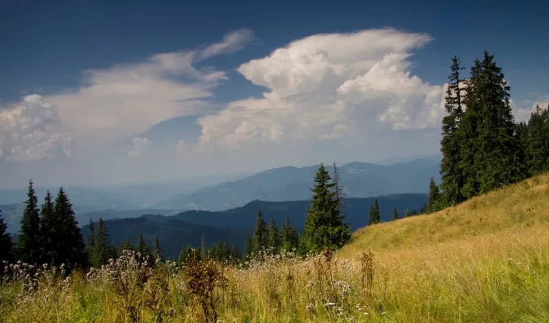
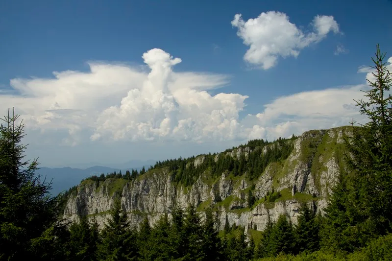
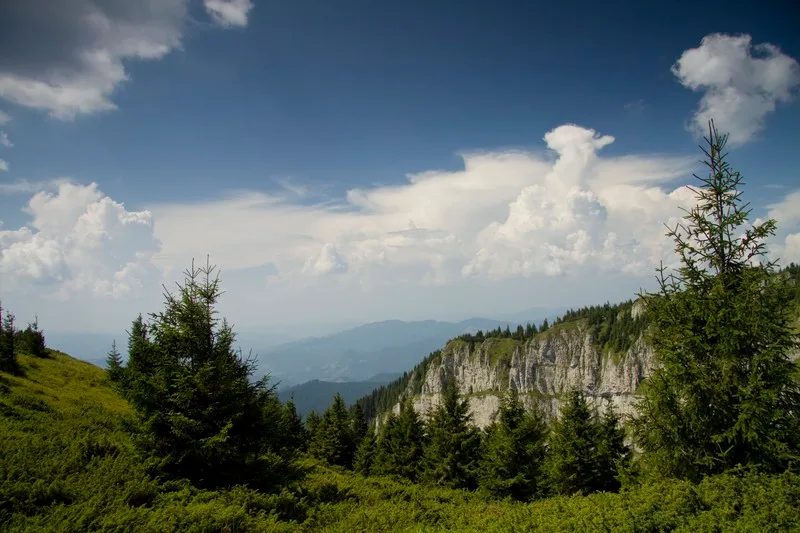
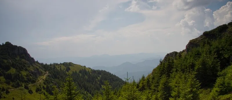
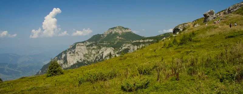
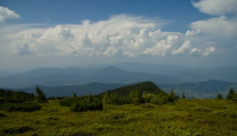
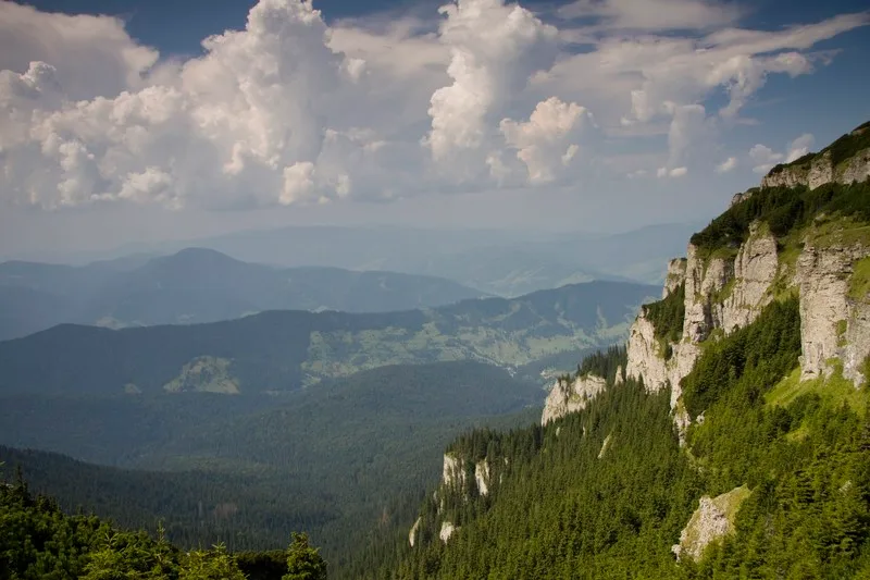
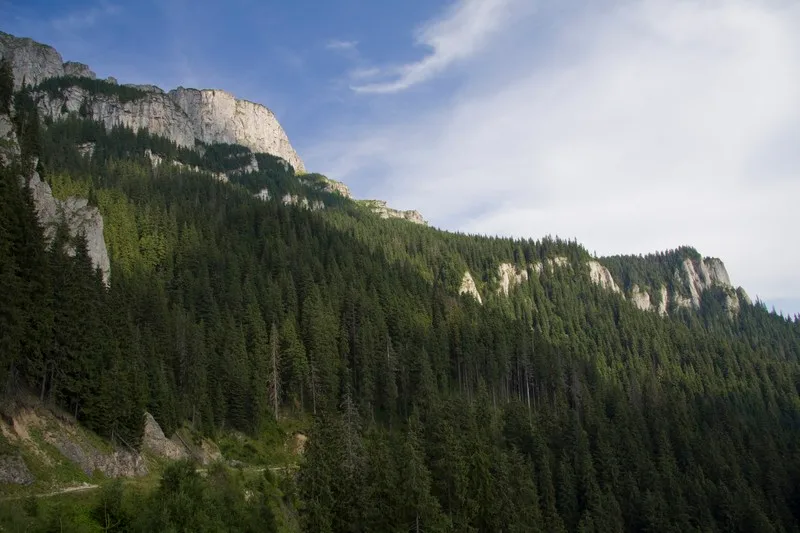
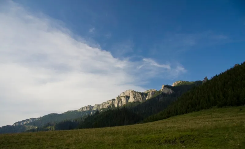
This route is truly spectacular and full of wonderful views, if you decide to make it on foot. Normally the length of 17 km makes it one of the longesttouristic routes from CeahlauMountain but because of the possibility to drive almost the entire way makes it one of the most used routes to reach the top of Ceahlau Mountain with minimum effort.
More from the collection
Open the collection