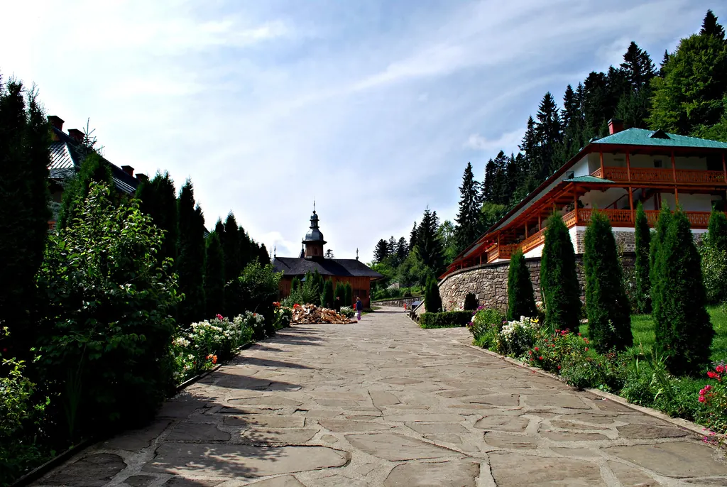
Stage 11: Butnărești – Secuieni
- Length
- 6 km
- Ascent
- 0 m
- Descent
- 33 m
- Altitude
- 221–256 m
- Start
- Butnărești
- Finish
- Secuieni
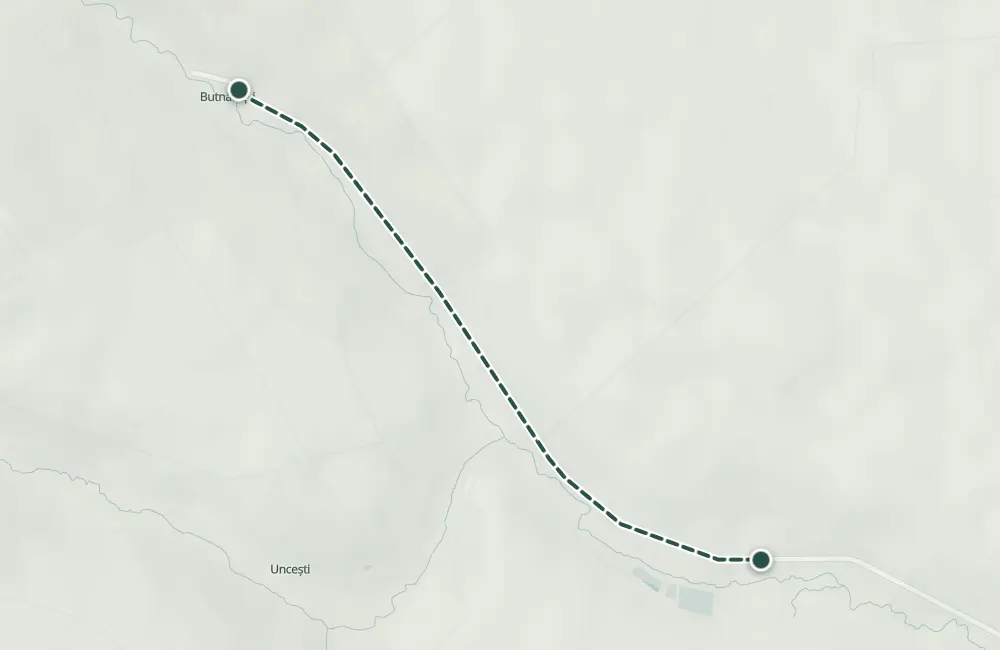
Stage 11 of the Camino de România pilgrimage route in Neamț County goes on foot from Butnărești to Secuieni. The distance indicated in the guide for this stage is 6 km.
The name Secuieni is attested in 1448. At Butnărești, the point "La Chiuaru" includes the traces of a settlement and of a necropolis from the 2nd–3rd centuries.
Complete route: Camino de România – Neamț County
Map of the route
 © OpenStreetMap · OpenFreeMap · EU-DEM / Copernicus
- The route
- Start
- Finish
- 1Stops along the way
↑ 0 m↓ 33 m221–256 m
At a glance
- Length
- 6 km
- Ascent
- 0 m
- Stages
- 2
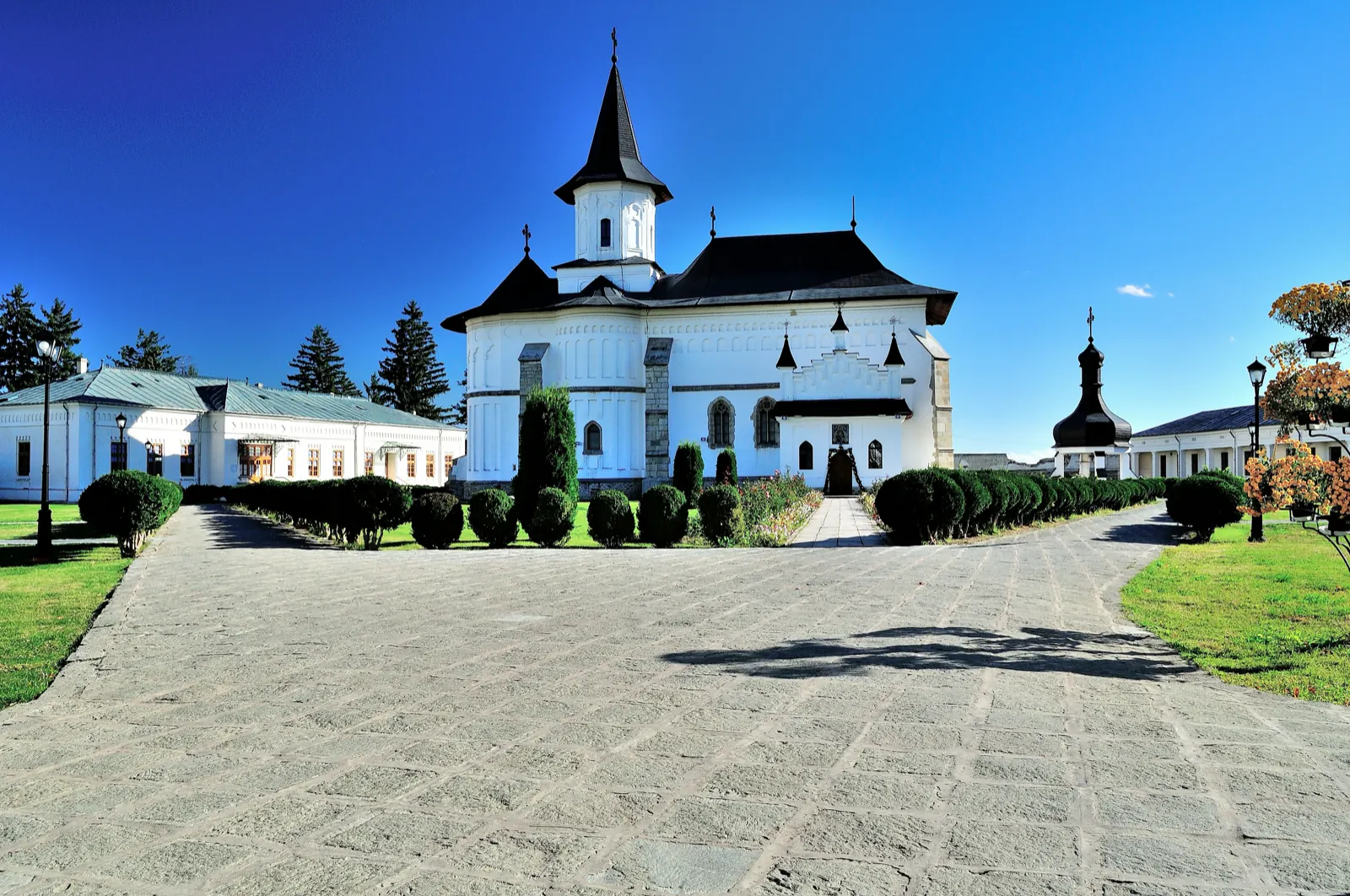
Archiepiscopal Cathedral of Roman – Museum Collection · 11.5 km away
The stages
Stage 1
Butnărești
The Orthodox church "Sfântul Nicolae", built in 1869, and the archaeological site "La Chiuaru", with a settlement and a necropolis from the 2nd–3rd centuries.
Stage 2
Secuieni
The Orthodox church "Sfânta Cuvioasă Parascheva", built in 1762. Inside, the iconostasis and the pulpit made of linden wood are preserved.
Stay near the start
Nearby
Other trails
Stage 10: Giulești – Butnărești
3 km↑ 13 m
Stage 12: Secuieni – Moldoveni
6 km↑ 73 m
Stage 3: Săbăoani – Simionești
5 km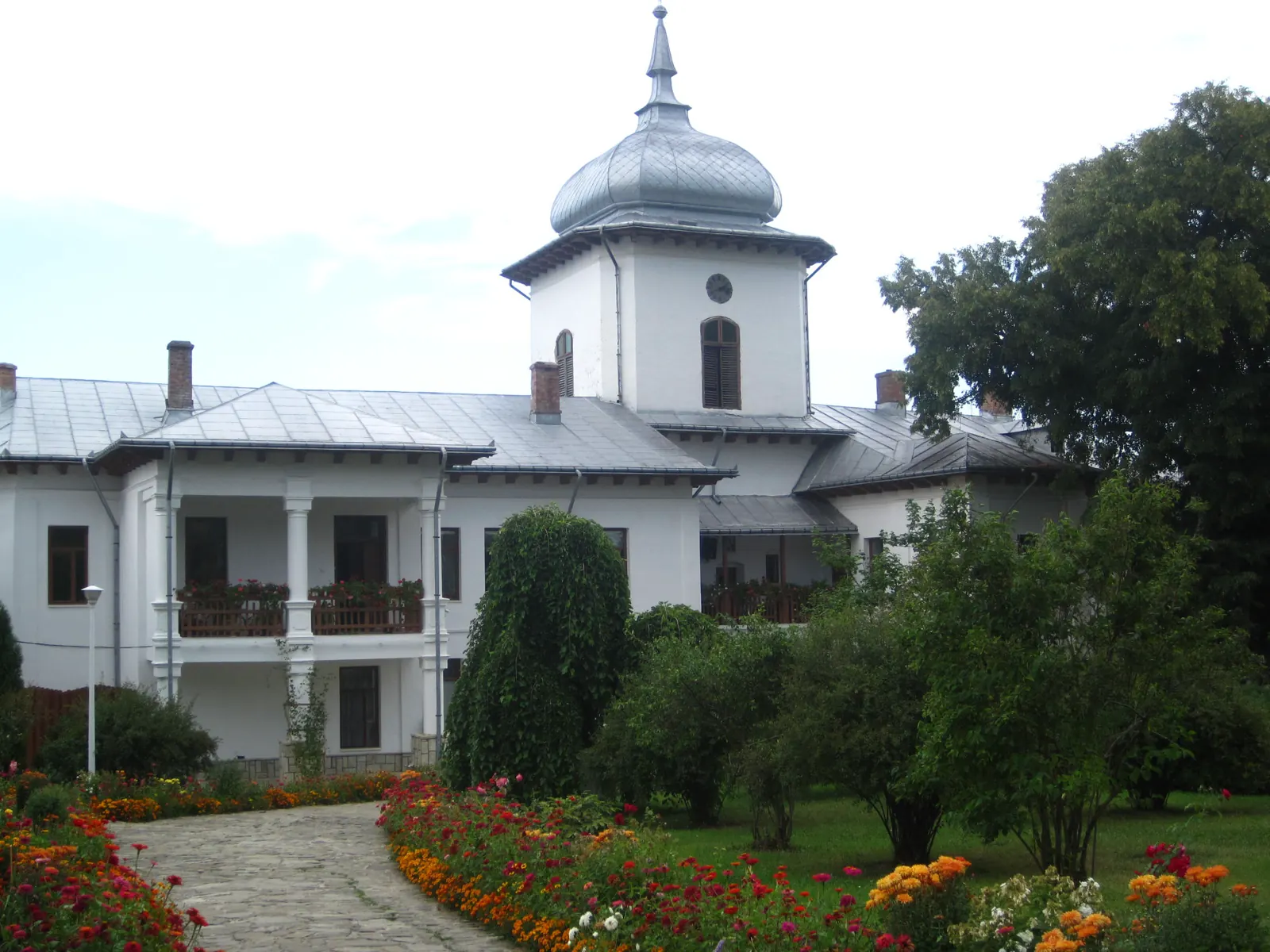
Stage 4: Simionești – Cordun
3 km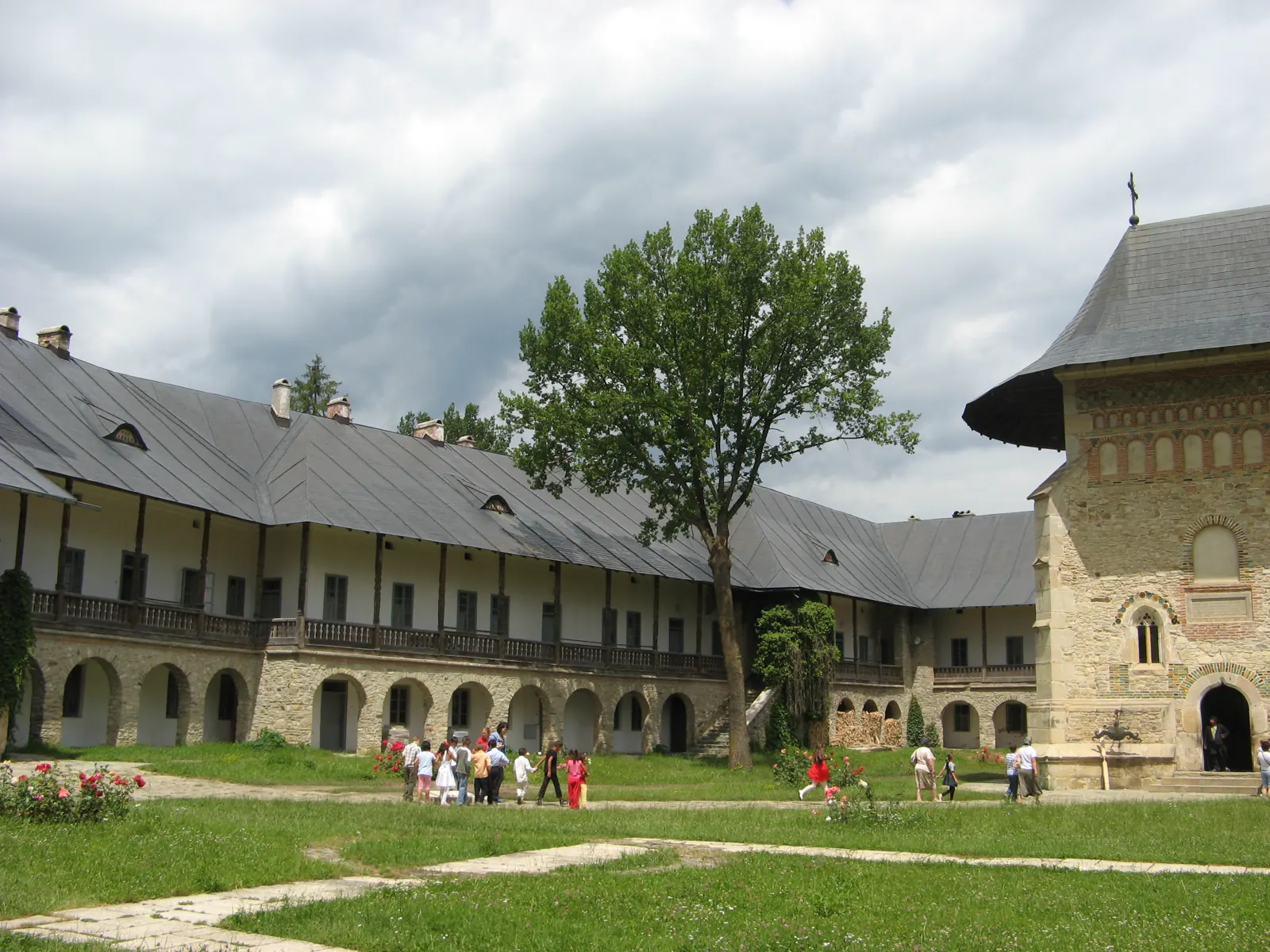
Stage 5: Cordun – Roman
4 km↑ 9 m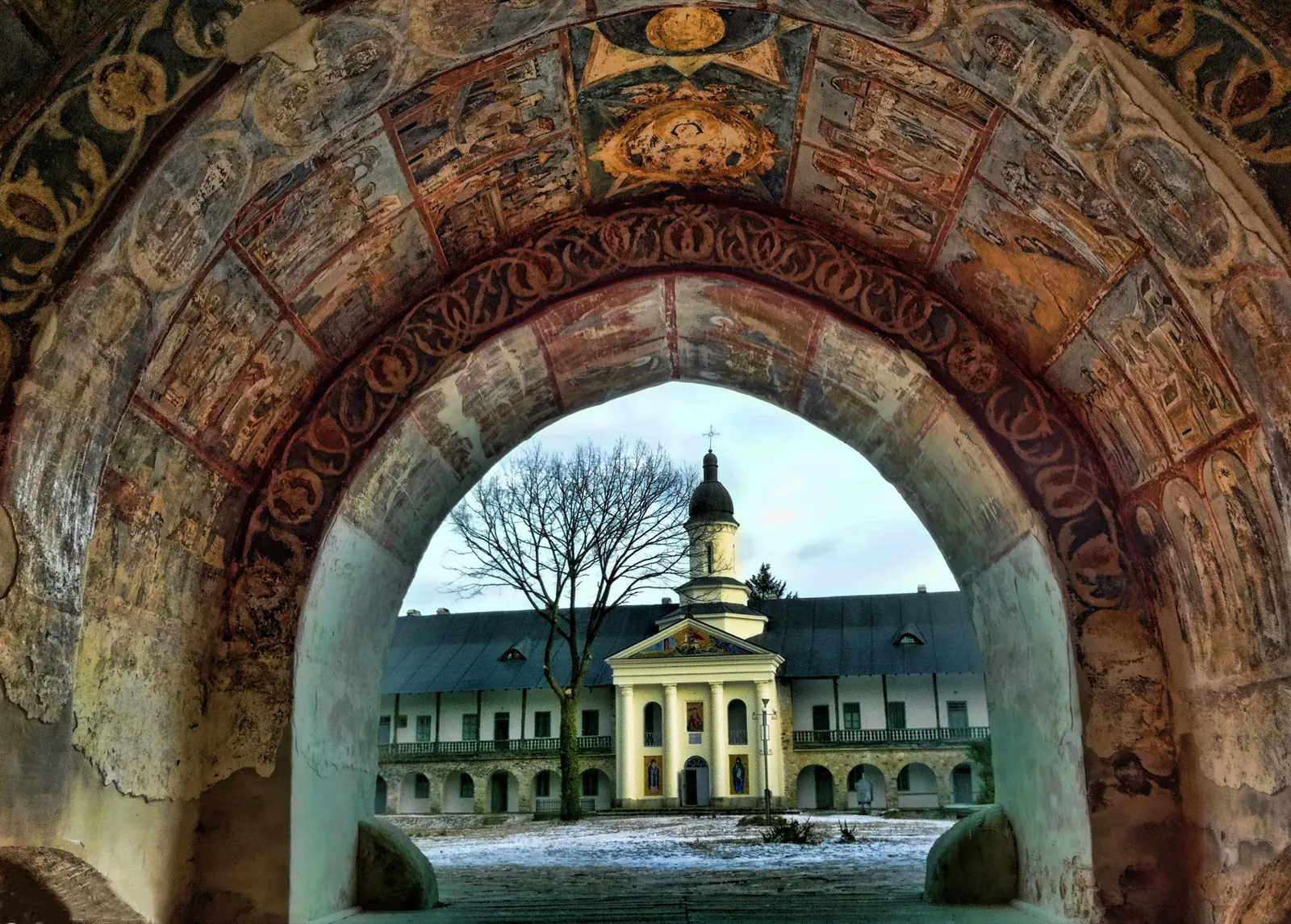
Stage 6: Roman – Cotu Vameș
5 km↑ 7 m
Photo credits5
- Photo: Wikimedia Commons · CC BY-SA 2.0 (The lane of Sihla Monastery)
- Photo: Wikimedia Commons · CC BY-SA 3.0 (Archiepiscopal Cathedral of Roman – Museum Collection)
- Photo: Wikimedia Commons · CC BY-SA 3.0 (Gheorghe Ruset Roznovanu Museum, Roznov)
- Photo: Wikimedia Commons · Public domain (Ancuța's Inn)
- Photo: Wikimedia Commons · CC BY-SA 4.0 ('Dowry Chest' Ethnographic Museum, Miron Costin)


