
Cursa Panaghia
- Length
- 7 km
- Ascent
- 1100 m
- Start
- Stațiunea Durău
- Finish
- Cabana Meteo
The Panaghia Race was the first event of a rescuers' competition on Ceahlău. The route climbs from the Durău resort through Cabana Fântânele, Cușma Dorobanțului, and Stânca Panaghiei up to Cabana Meteo, over approximately 7 km and an elevation difference of approximately 1,100 m.
In the mountain running event, competitors wore sports gear and appropriate trail-running footwear.
Map of the route
The places the route passes through, on the map.
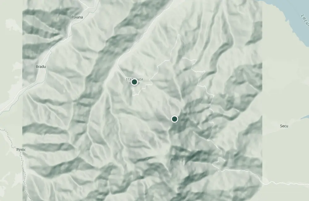 © OpenStreetMap · OpenFreeMap · EU-DEM / Copernicus
- 1Stops along the way
The stages
Stage 1
Stațiunea Durău
Stage 2
Chalet Fântânele
Stage 3
Cușma Dorobanțului
Stage 4
Stânca Panaghiei
Stage 5
Chalet Meteo
Getting there
Access: The start is from the Durău resort.
Before you set out
- Emergencies
- 112
- Salvamont Neamț
- 0725 826 668
Nearby
Other trails
Ceahlău: Fântânele Hut - Poiana Nicanului - Poiana Vesuri (yellow triangle, connector)
2.1 km1 hour↑ 115 m
Ceahlău: Durău - Piciorul lui Bucur - Duruitoarea Waterfall (blue cross)
4.1 km2 hours and 30 minutes↑ 457 m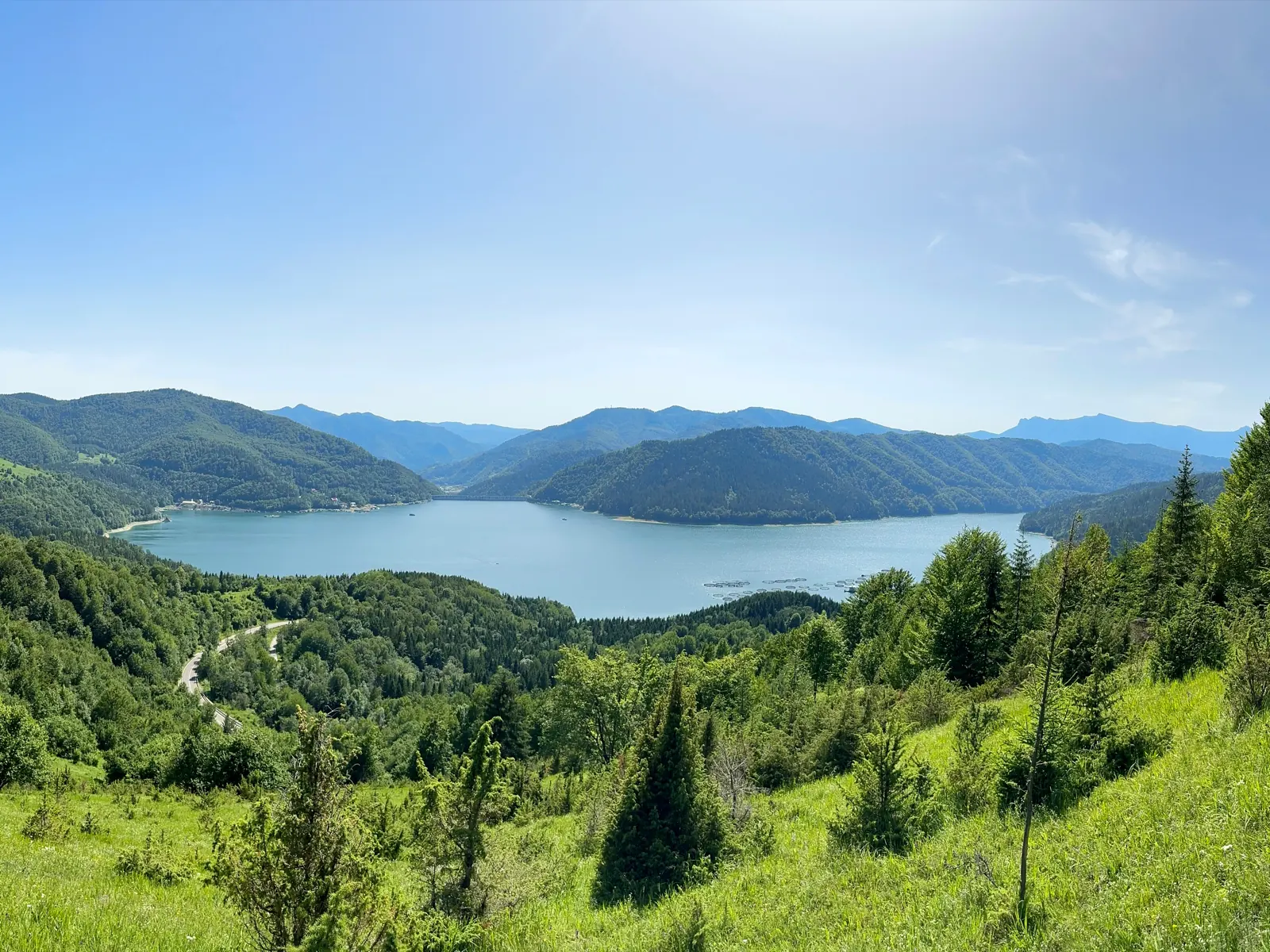
Ceahlău – Trail 1: Izvorul Muntelui Chalet – Poiana Maicilor – Dochia Chalet
9 km6 – 7 h↑ 1056 m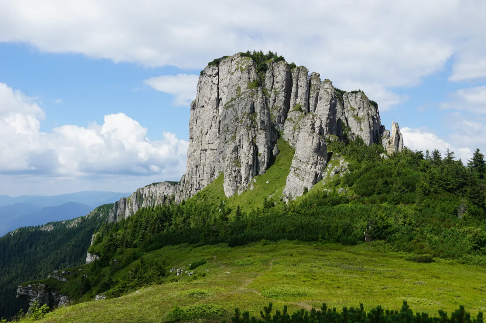
Trasee de ascensiune pe Masivul Ceahlău (marcaje și durate) RO
1 km
Ceahlău – Trail 4: Durău resort – Fântânele Chalet – Dochia Chalet
7.5 km3 h – 3 h 30 min↑ 1015 m
Ceahlău: Izvorul Muntelui Hut - Poiana Maicilor - Dochia Hut (red stripe)
9 km6–7 hours↑ 1069 m
Photo credits4
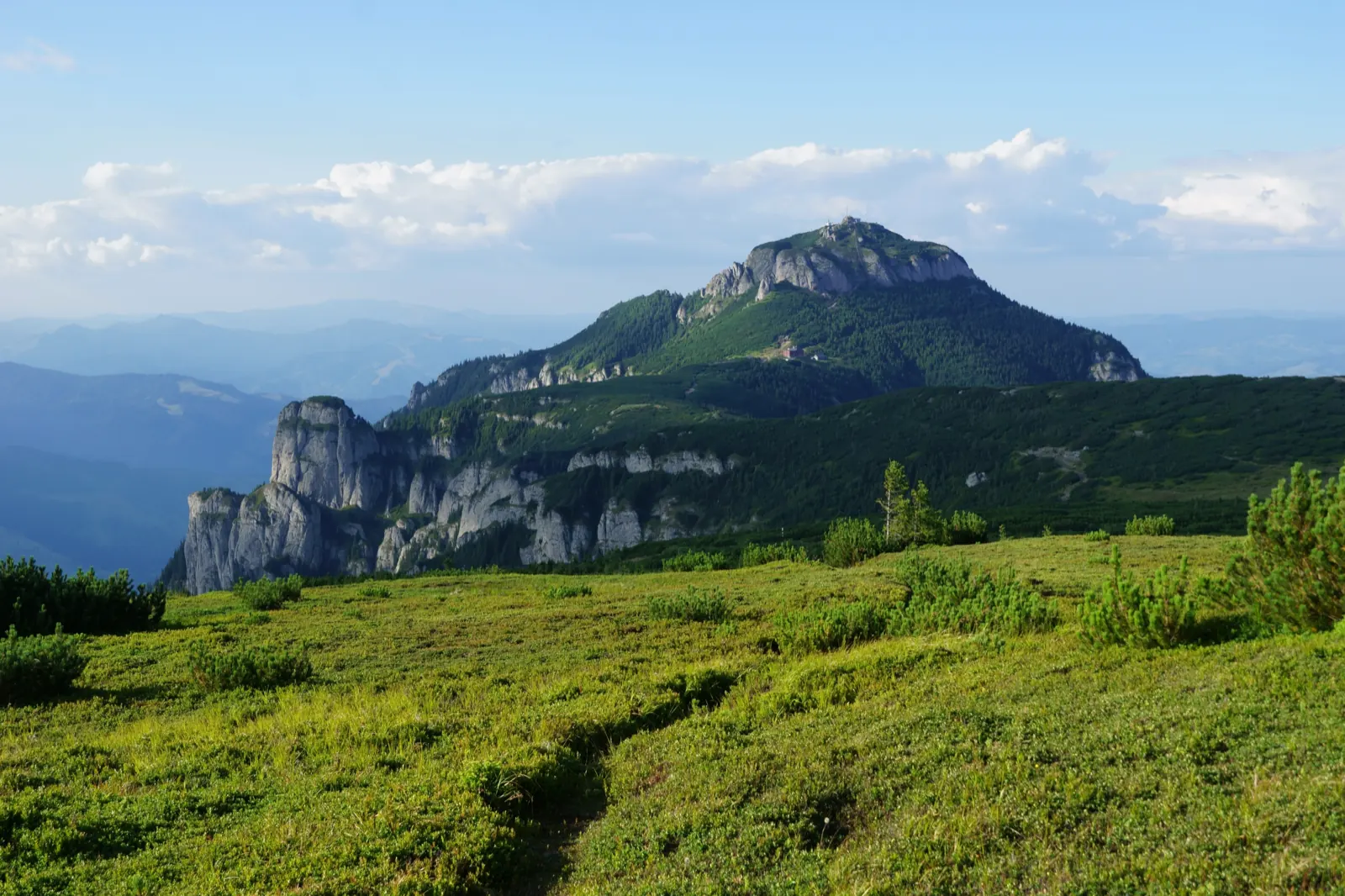
- Photo: Wikimedia Commons · Public domain (Ceahlău National Park)
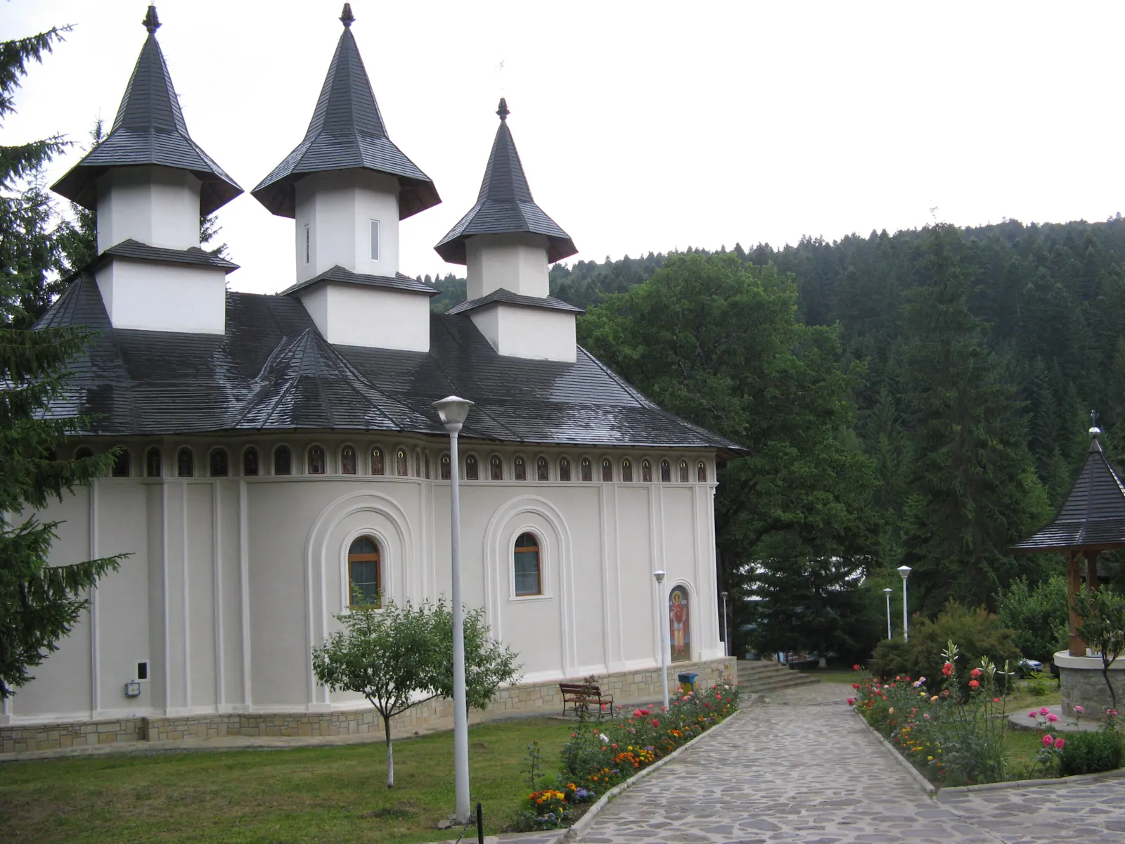
- Photo: Wikimedia Commons · CC BY-SA 3.0 (Durău Monastery)
- Photo: Wikimedia Commons · Public domain (Duruitoarea Waterfall)
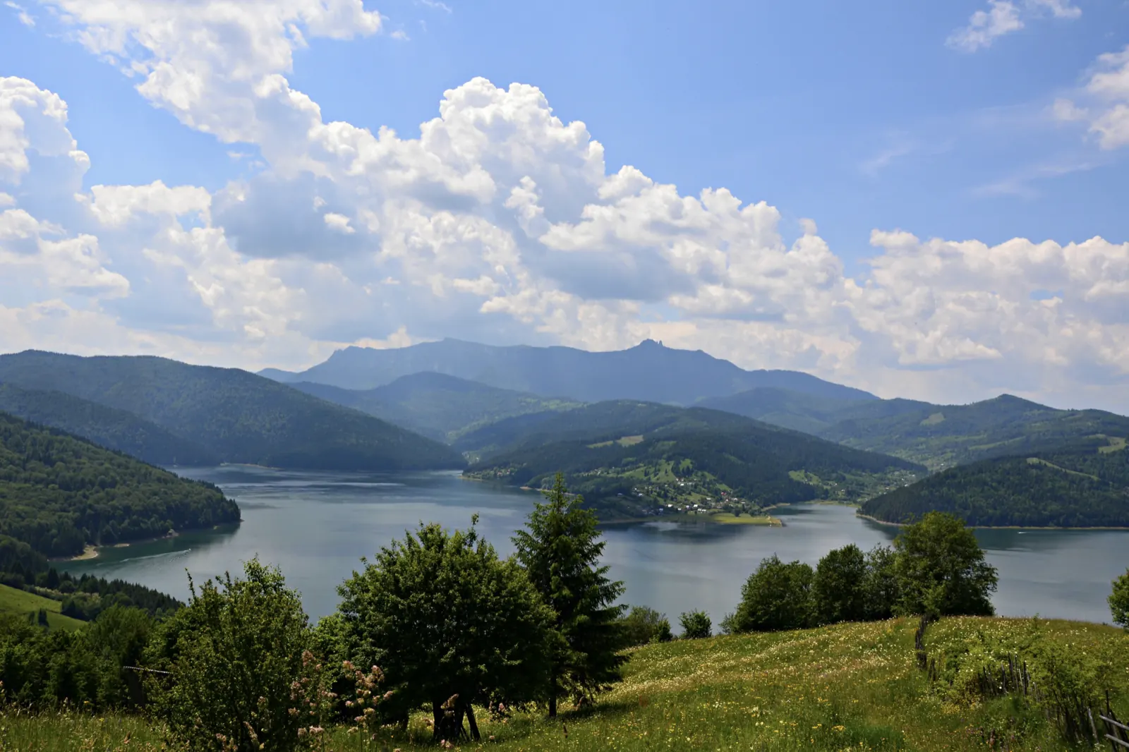
- Photo: Wikimedia Commons · CC BY-SA 3.0 (Izvorul Muntelui Lake (Lake Bicaz))


