
Ceahlău – Trail 1: Izvorul Muntelui Chalet – Poiana Maicilor – Dochia Chalet
- Length
- 9 km
- Time
- 6 – 7 h
- Ascent
- 1056 m
- Descent
- 108 m
- Altitude
- 809–1762 m
- Waymark
- red band
The seven trails on Muntele Ceahlău start from Cabana Izvorul Muntelui, the resort Durău, Bicazul Ardelean, or the village Neagra and reach Cabana Dochia. The individual distances indicated are between 6 and 17 km.
The trails mention Poiana Maicilor, Stânca Dochiei, Cascada Duruitoarea, and Curmătura Stănile.
Trail 1: Cabana Izvorul Muntelui – Poiana Maicilor – Cabana Dochia; red stripe, 9 km, 6–7 hours, elevation difference 953 m, high difficulty level.
Trail 2: Cabana Izvorul Muntelui – Curmătura Lutu Roșu – Cabana Dochia; blue stripe, 6 km, 3 hours and 30 minutes, elevation difference 953 m, medium difficulty level. Up to DJ 155F, the marking is a blue dot.
Trail 3: Cabana Izvorul Muntelui – Stânca Dochiei – Jgheabul cu Hotar – Cabana Dochia; blue triangle, 7.5 km, 3 hours and 30 minutes – 4 hours, elevation difference 953 m, medium difficulty level. Up to DJ 155F, the marking is a blue dot.
Trail 4: Stațiunea Durău – Cabana Fântânele – Cabana Dochia; red stripe, 7.5 km, 3–3 hours and 30 minutes, elevation difference 950 m, medium difficulty level. From Fântânele, a yellow triangle marking leads to Poiana Vesuri.
Trail 5: Stațiunea Durău – Poiana Vesuri – Cascada Duruitoarea – Cabana Dochia; red cross, 7.5 km, 4 hours and 30 minutes – 5 hours, elevation difference 950 m, medium difficulty level. From Poiana Vesuri, the yellow triangle leads to Cabana Fântânele.
Trail 6: Bicazul Ardelean – Telec – Curmătura Stănile – Cabana Dochia; blue stripe, 17 km, 7–8 hours, elevation difference 1,170 m, high difficulty level.
Trail 7: Sat Neagra – Curmătura Văratec – Poiana Maicilor – Cabana Dochia; blue cross, 14 km, 6–7 hours, elevation difference 1,210 m, high difficulty level.
Trail 1 is forbidden in winter. Trail 2 is practicable all year round. In winter, trail 5 is practicable only up to Cascada Duruitoarea.
Map of the route
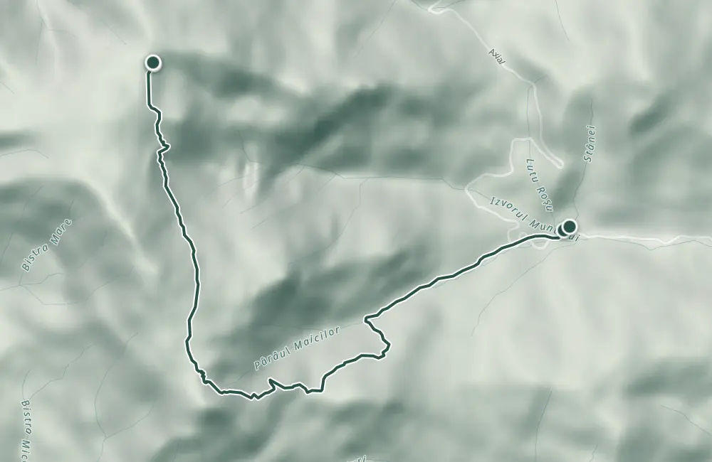 © OpenStreetMap · OpenFreeMap · EU-DEM / Copernicus
- The route
- Start
- Finish
- 1Stops along the way
↑ 1056 m↓ 108 m809–1762 m
The stages
Stage 1 · km 0
Chalet Izvorul Muntelui (797 m)
Stage 2
Poiana Maicilor (1328 m)
Stage 3 · km 6.5
Chalet Dochia (1750 m)
Stage 4
Chalet Izvorul Muntelui (797 m)
Stage 5
Curmătura Lutu Roșu (1020 m)
Stage 6
Chalet Dochia (1750 m)
Stage 7
Chalet Izvorul Muntelui (797 m)
Stage 8
Stânca Dochiei (1185 m)
Stage 9
Jgheabul cu Hotar
Stage 10
Chalet Dochia (1750 m)
Stage 11
Stațiunea Durău (800 m)
Stage 12
Chalet Fântânele (1220 m)
Stage 13
Chalet Dochia (1750 m)
Stage 14
Stațiunea Durău (800 m)
Stage 15
Poiana Vesuri (1195 m)

Stage 16
Waterfall Duruitoarea
Stage 17
Chalet Dochia (1750 m)
Stage 18
Bicazul Ardelean (580 m)
Stage 19
Telec (680 m)
Stage 20
Curmătura Stănile (1420 m)
Stage 21
Chalet Dochia (1750 m)
Stage 22
Sat Neagra (540 m)
Stage 23
Curmătura Văratec (1363 m)
Stage 24
Poiana Maicilor (1326 m)
Stage 25
Chalet Dochia (1750 m)
Getting there
Access: Trails 1–3 start from Cabana Izvorul Muntelui; trails 4–5 from the Durău resort; trail 6 from Bicazul Ardelean; trail 7 from the village of Neagra.
Before you set out
Trail 1 is forbidden in winter; on trail 5, in winter one can go only up to Cascada Duruitoarea.
- Emergencies
- 112
- Salvamont Neamț
- 0725 826 668
Stay near the start
Nearby
Other trails
Ceahlău: Fântânele Hut - Poiana Nicanului - Poiana Vesuri (yellow triangle, connector)
2.1 km1 hour↑ 115 mCeahlău: Durău - Piciorul lui Bucur - Duruitoarea Waterfall (blue cross)
4.1 km2 hours and 30 minutes↑ 457 m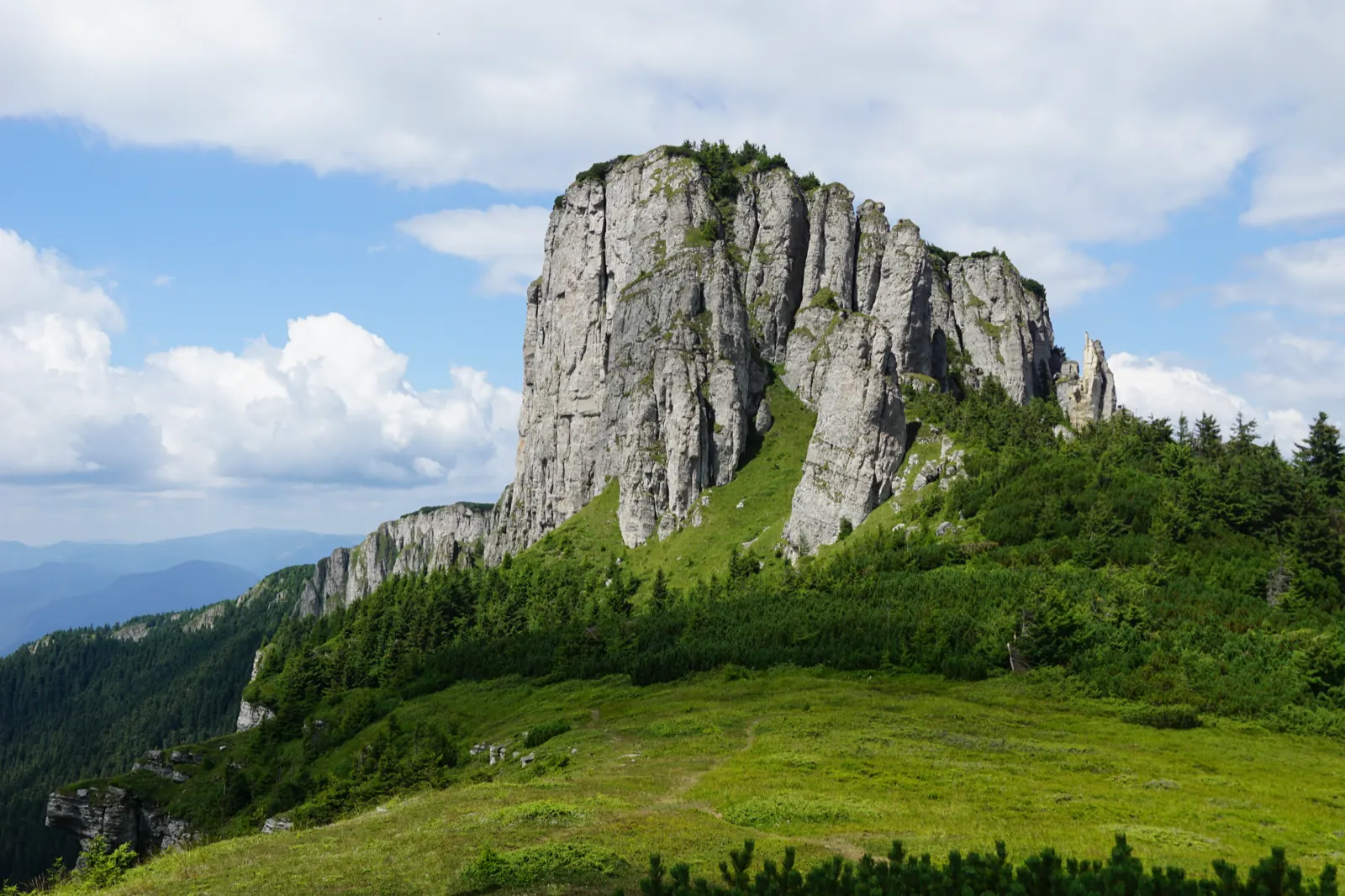
Cursa Panaghia RO
7 km↑ 1100 m
Trasee de ascensiune pe Masivul Ceahlău (marcaje și durate) RO
1 km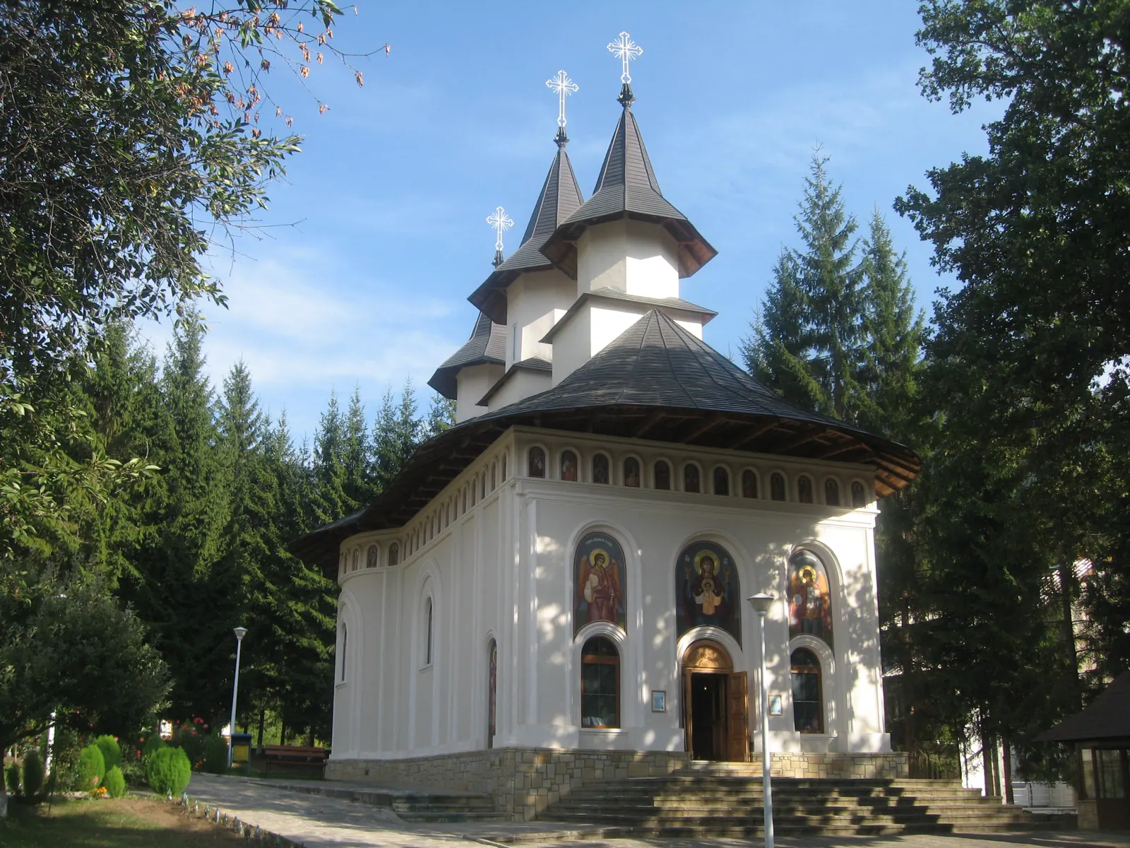
Ceahlău – Trail 4: Durău resort – Fântânele Chalet – Dochia Chalet
7.5 km3 h – 3 h 30 min↑ 1015 m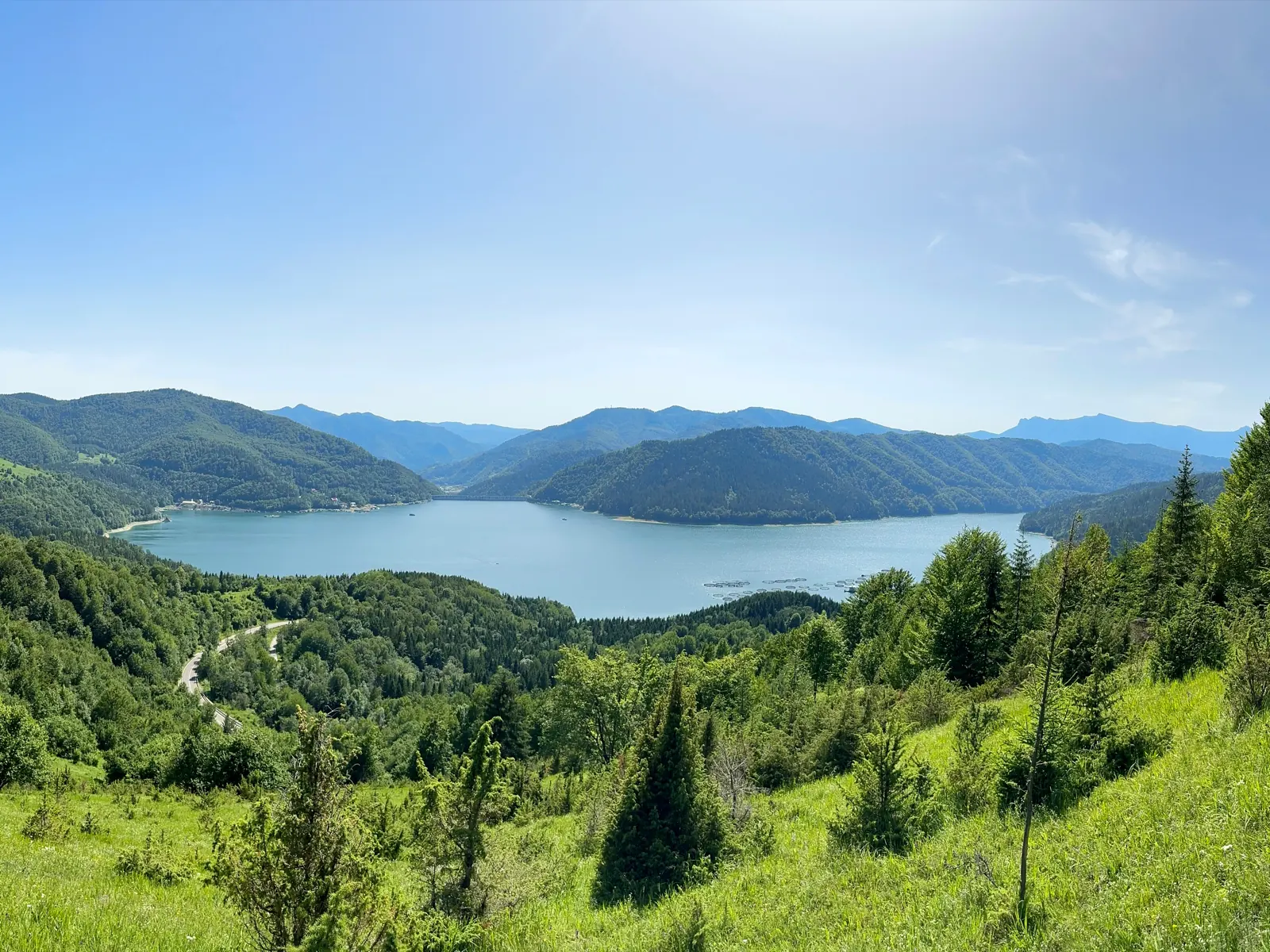
Ceahlău: Izvorul Muntelui Hut - Poiana Maicilor - Dochia Hut (red stripe)
9 km6–7 hours↑ 1069 m
Photo credits4
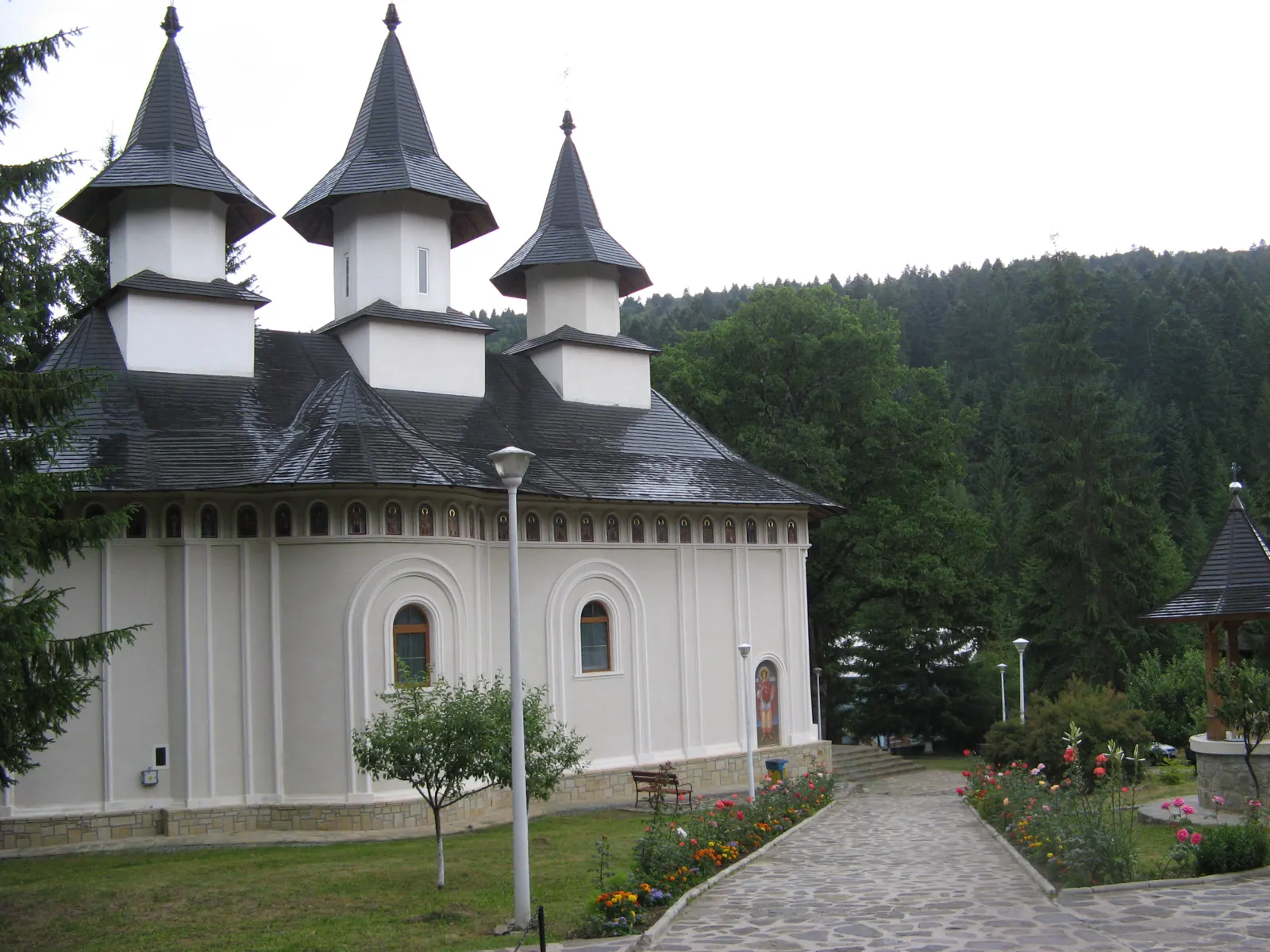
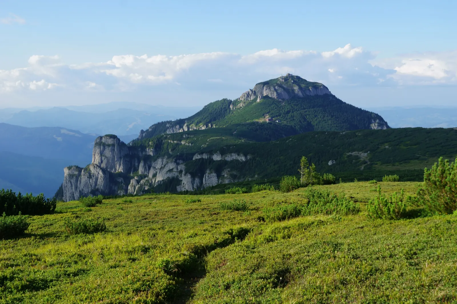
- Photo: Wikimedia Commons · Public domain (Ceahlău National Park)
- Photo: Wikimedia Commons · Public domain (Duruitoarea Waterfall)
- Photo: Wikimedia Commons · CC BY-SA 3.0 (Durău Monastery)
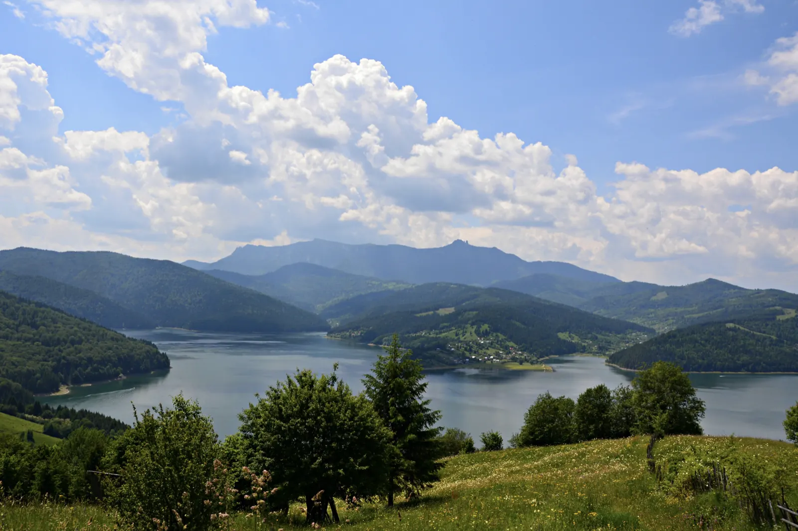
- Photo: Wikimedia Commons · CC BY-SA 3.0 (Izvorul Muntelui Lake (Lake Bicaz))


