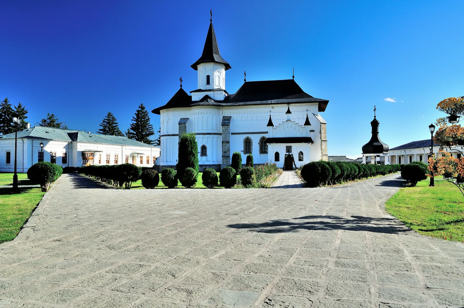
Stage 1: Iugani (Iași) – Gherăești
- Length
- 3 km
- Ascent
- 6 m
- Descent
- 24 m
- Altitude
- 215–240 m
- Start
- Iugani (jud. Iași)
- Finish
- Gherăești
The first stage of the Camino de România in the Neamț County area walks from Iugani, in Iași County, to Gherăești, in Neamț County. The indicated distance for the stage is 3 km.
Gherăești is the first locality of the Neamț route, near the border with Iași County, on the left bank of the Moldova River. In the locality, the Roman Catholic churches "Sfânta Familie" and "Trupul și Sângele Domnului" are listed, as well as the Orthodox church "Sfânta Maria".
Complete route: Camino de România – Neamț County
Map of the route
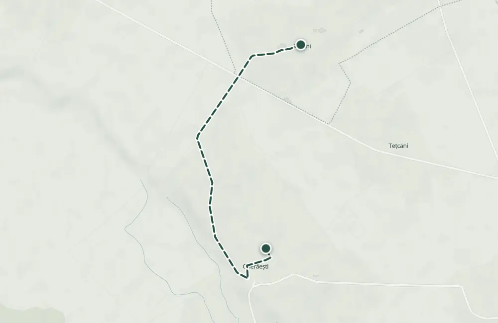 © OpenStreetMap · OpenFreeMap · EU-DEM / Copernicus
- The route
- Start
- Finish
- 1Stops along the way
↑ 6 m↓ 24 m215–240 m
The stages
Stage 1
Iugani (jud. Iași)
Stage 2
Gherăești
You can see the Roman Catholic churches "Sfânta Familie" and "Trupul și Sângele Domnului", as well as the Orthodox church "Sfânta Maria".
Getting there
Access: The stage begins in Iugani, in Iași County, and enters Neamț County at Gherăești.
Nearby
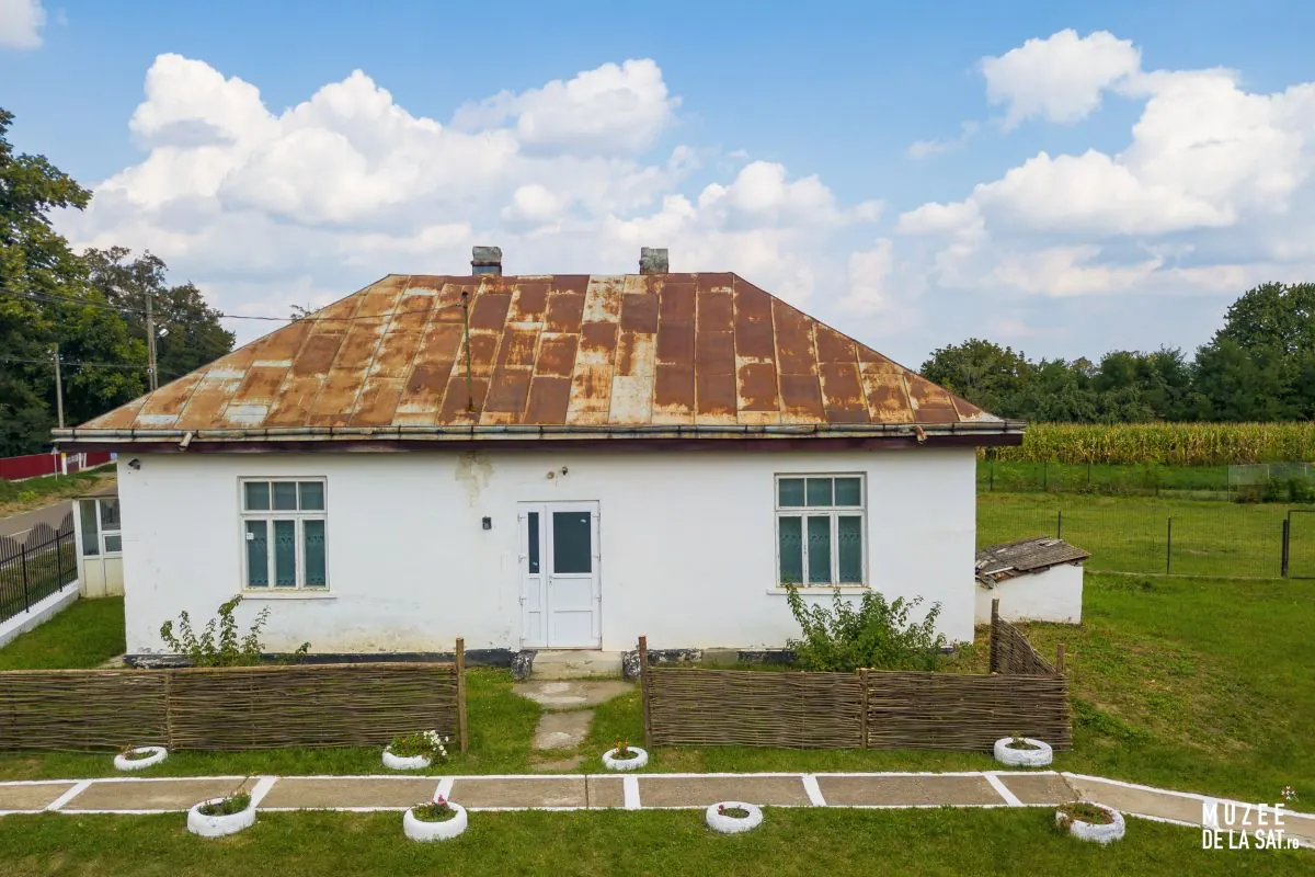
Other trails
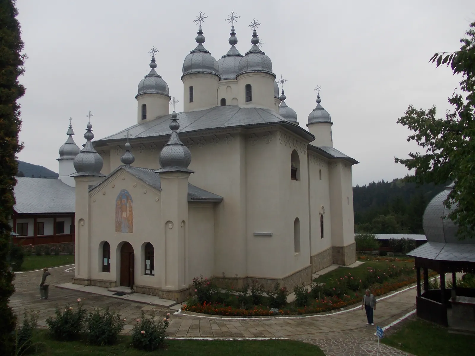
Stage 13: Moldoveni – Hociungi
3 km↑ 71 m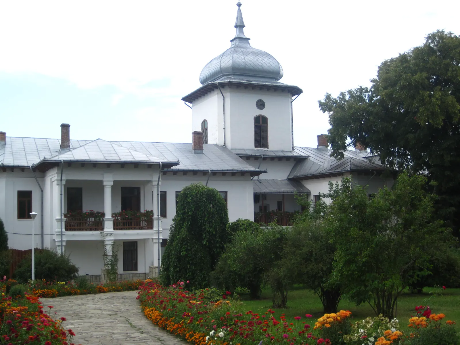
Stage 14: Hociungi – Broșteni
4 km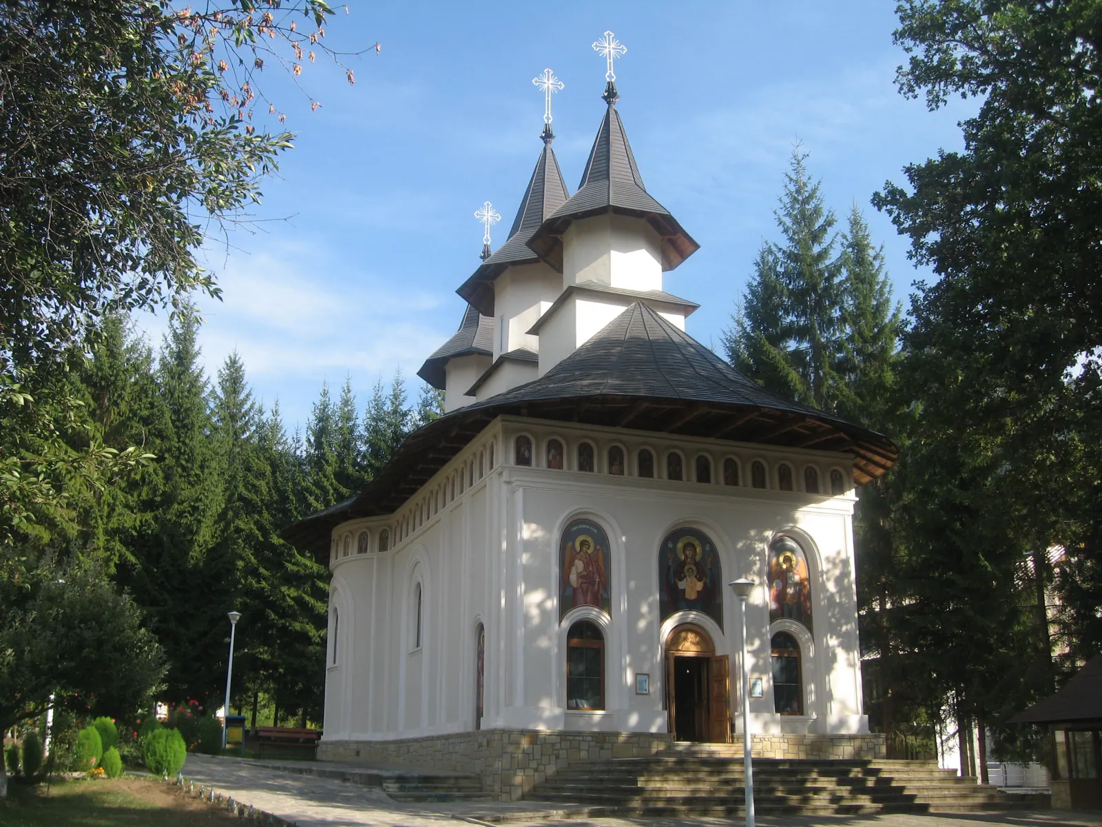
Stage 15: Broșteni – Bahna
2 km↑ 31 m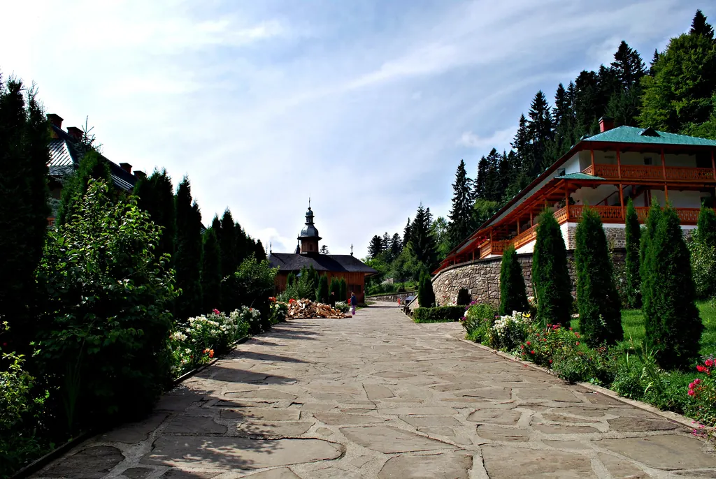
Stage 16: Bahna – Băhnișoara
3 km↑ 44 m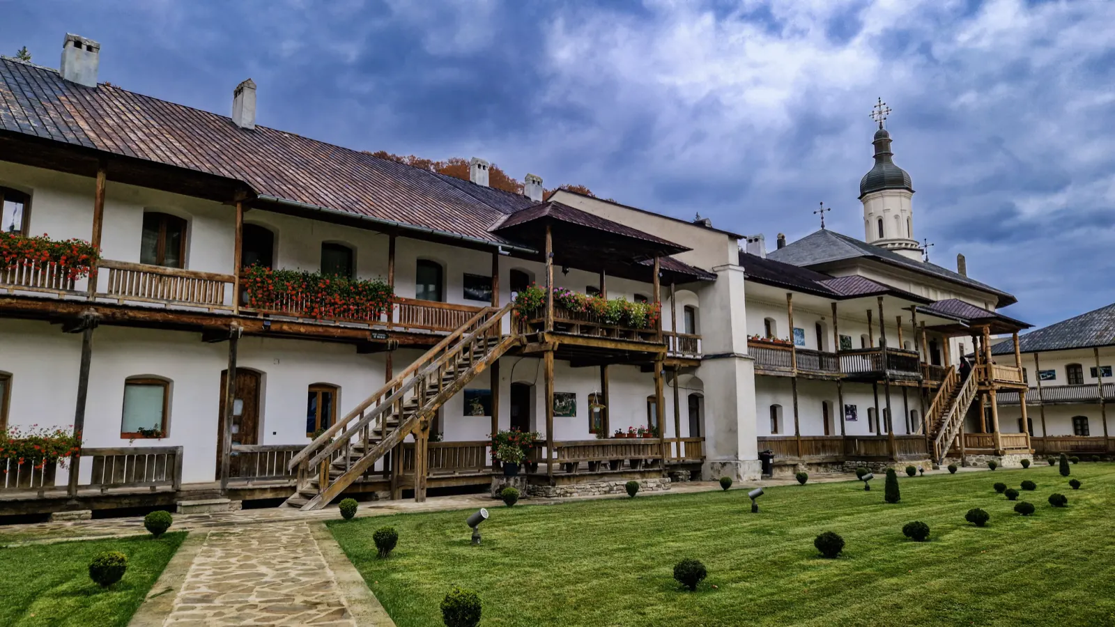
Stage 17: Băhnișoara – Izvoare
2 km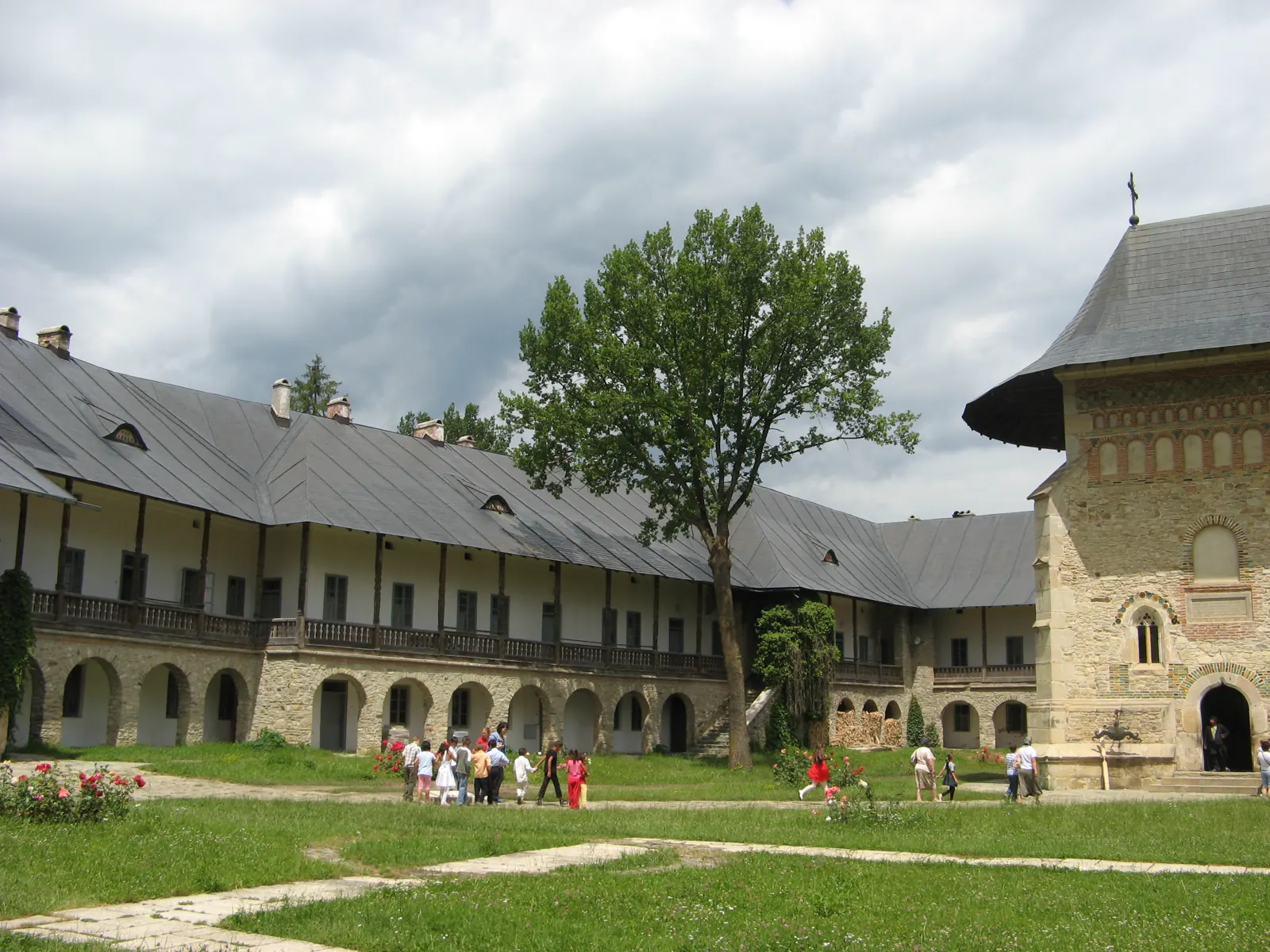
Stage 18: Izvoare – Racova (Bacău)
11 km↑ 114 m
Photo credits4
- Photo: Wikimedia Commons · CC BY-SA 3.0 (Archiepiscopal Cathedral of Roman – Museum Collection)
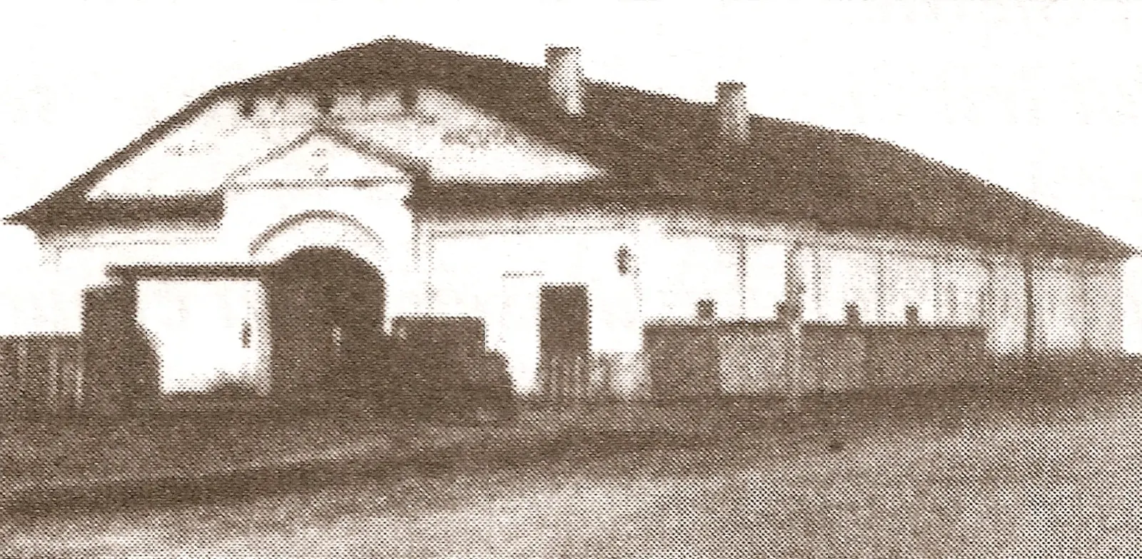
- Photo: Wikimedia Commons · Public domain (Ancuța's Inn)
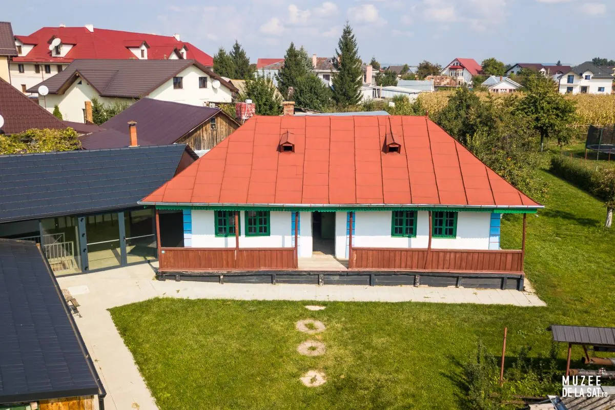
- Photo: Wikimedia Commons · CC BY-SA 4.0 (Museum of Collectivisation in Romania, Tămășeni)
- Photo: Wikimedia Commons · CC BY-SA 4.0 ('Dowry Chest' Ethnographic Museum, Miron Costin)

