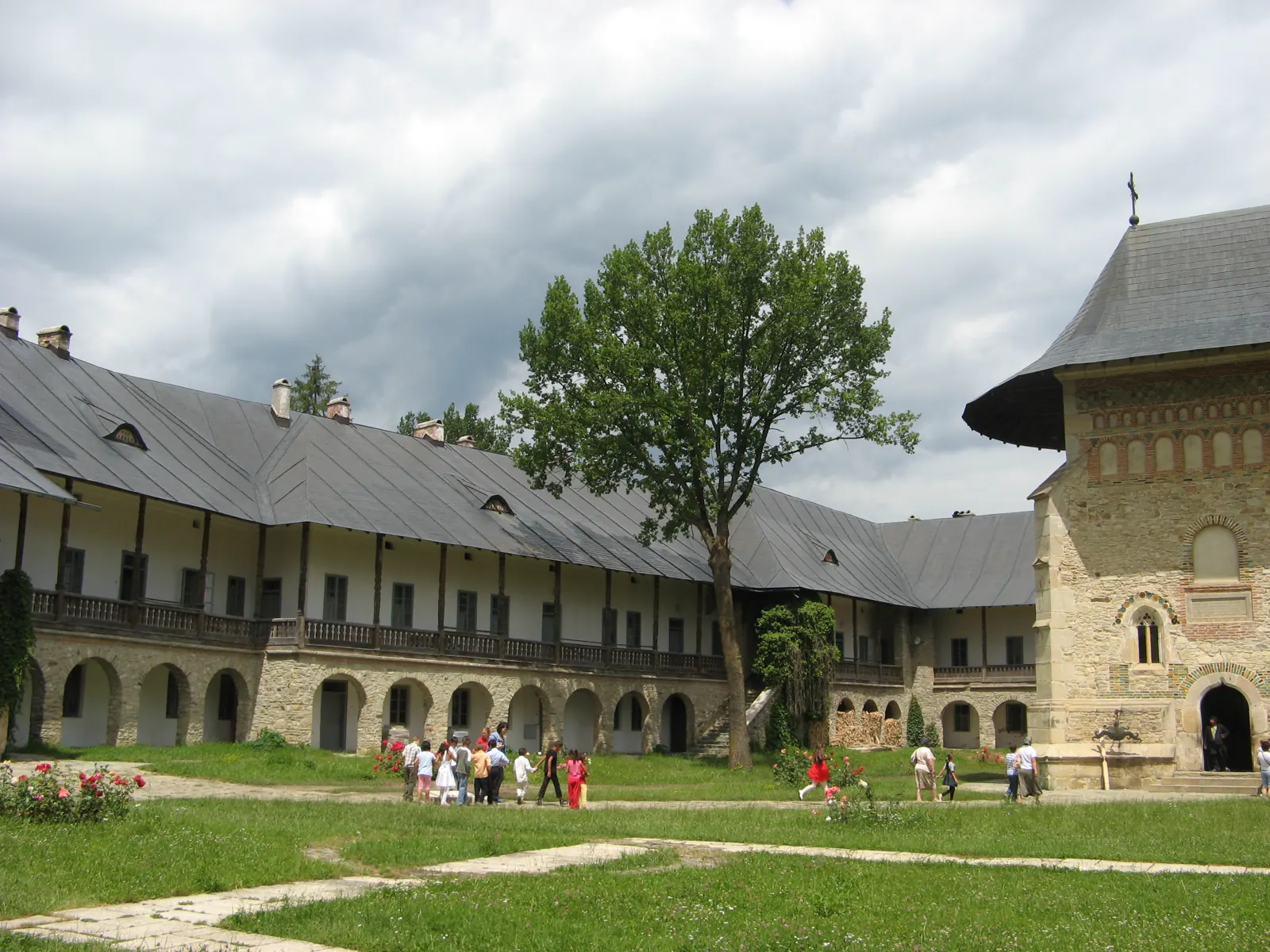
Via Mariae – Neamț County section (M05, Central European pilgrim way)
- Length
- 132.1 km
- Difficulty
- Ascent
- 3958 m
- Descent
- 3210 m
- Altitude
- 358–1302 m
- Start
- Râșca, limita cu județul Suceava
- Finish
- Ghimeș-Făget, limita cu județul Bacău
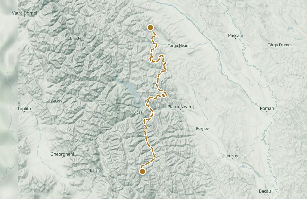
Via Mariae crosses Neamț County from the Râșca area, at the border with Suceava County, to Ghimeș-Făget, at the border with Bacău County. The pilgrimage route passes through monastic settlements, villages, forests, and by Lake Cuejdel.
The northern part, up to Lake Cuejdel, is 56.8 km, and the southern part, up to Ghimeș-Făget, is about 75.3 km: 132.1 km in total. Walking it takes several days, at a pace of 20–30 km per day.
The route was arranged in the county by the Neamț County Council together with the Metropolis of Moldavia and Bucovina, the Neamț Forestry Directorate, the Vânători-Neamț Natural Park Administration, the crossed communes, and the Eco Travel Association, at the initiative of the Via Mariae Association.
In the northern part, the road passes by Neamț Monastery, Pocrov, Secu, Sihla, Agapia, and Văratec, then through Magazia and Cracăul Negru toward Lake Cuejdel. The southern part goes toward Cuejdi, Pângărați, Oanțu, Poiana, and the Tarcău valley, passes by Tărcuța Monastery, and reaches Ghimeș-Făget.
The line drawn on the map, from Neamț Monastery to Tărcuța Monastery, is about 126.5 km. The guide’s 132.1 km starts at the Suceava boundary near Râșca and ends at Ghimeș-Făget.
Map of the route
 © OpenStreetMap · OpenFreeMap · EU-DEM / Copernicus
- The route
- Start
- Finish
- 1Stops along the way
↑ 3958 m↓ 3210 m358–1302 m
At a glance
- Length
- 132.1 km
- Ascent
- 3958 m
- Stages
- 20
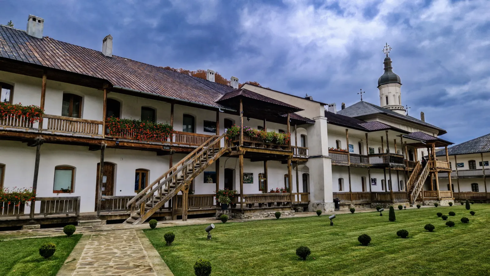
The buildings of Secu Monastery
The countries it crosses
- Austria
- Hungary
- Romania132.1 kmThe Neamț section
- Slovakia
- Poland
- Croatia
- Bosnia
The stages
Stage 1
Râșca
Stage 2
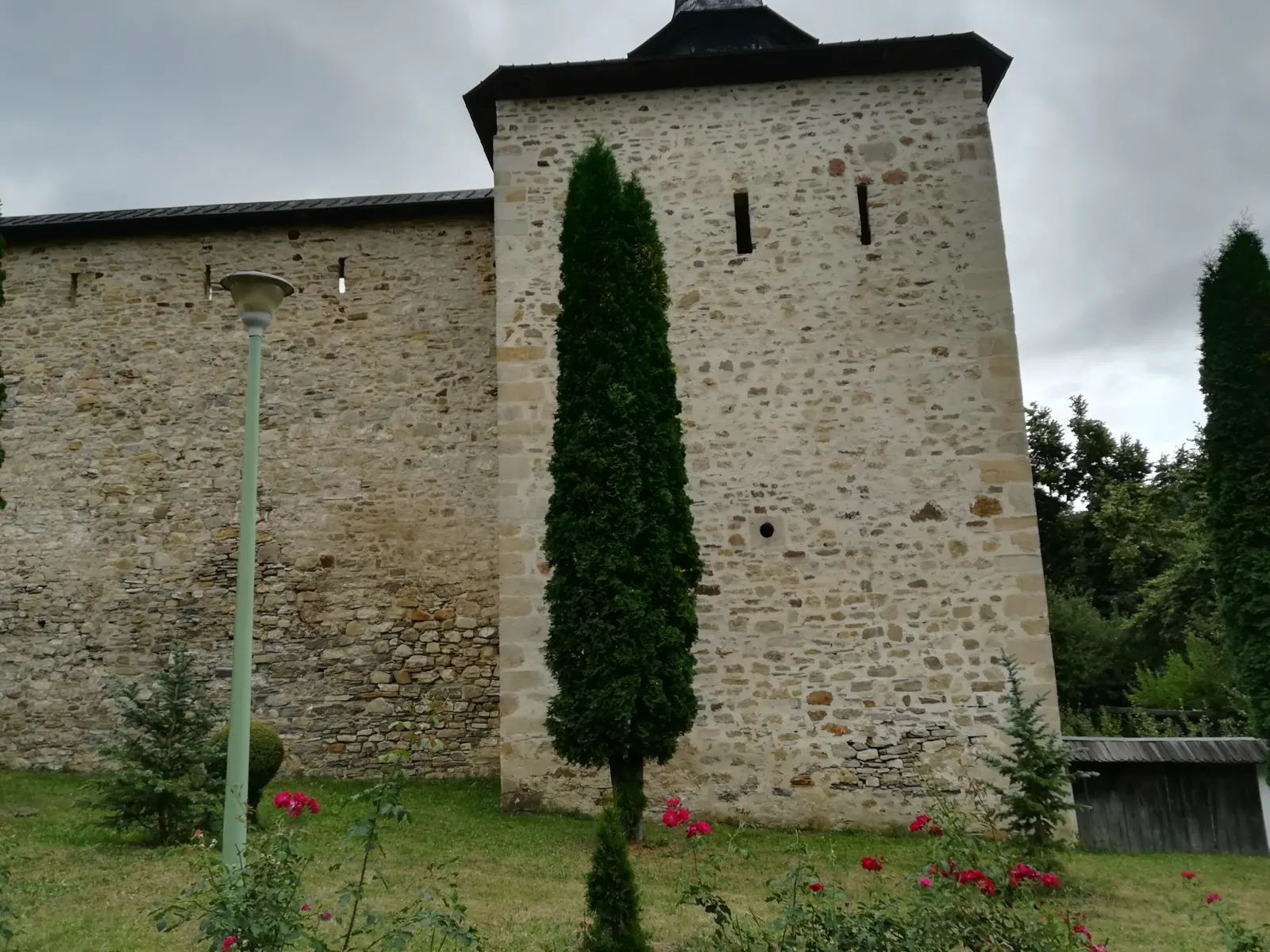
Monastery Neamț
The route arrives here on DJ 155C, after entering the county from the Râșca area.
Stage 5
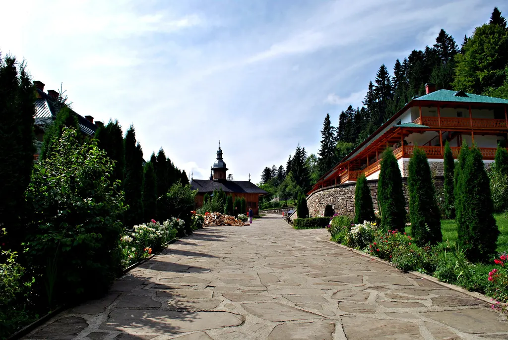
Hermitage Sihla
The area is located on the forest road sector towards Agapia.
Stage 6
Cave Sf. Cuvioasă Teodora
Stage 7
The little church made from the wood of a single tree (Sihla)
Stage 8
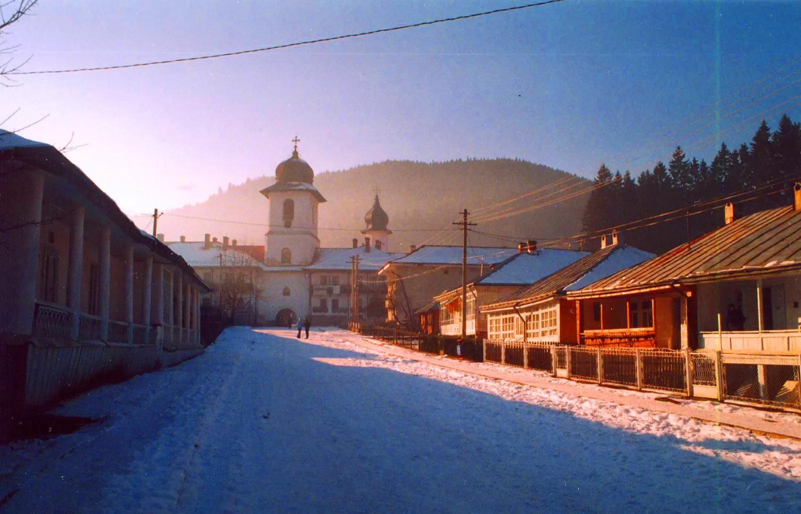
Monastery Agapia
The segment from Sihla overlaps with the tourist route marked with a blue triangle on a white background.
Stage 9
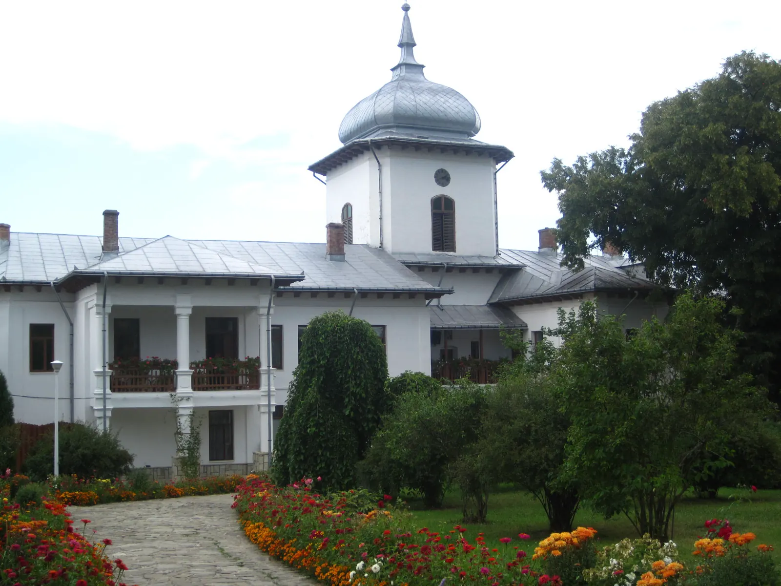
Monastery Văratec
The route reaches the monastery parking lot from DN 15G, then continues towards the village of Magazia.
Stage 10
Magazia
Stage 11
Cracăul Negru
Stage 12
Lake Cuejdel
The route follows the lake shore from upstream to downstream for 1.2 km; after 0.7 km, a spring with drinking water is indicated.
Stage 13
Hermitage Sf. Daniil Sihastrul (Cuejdi, Gârcina)
On the southern side, the route passes through the area of Cuejdi Skete.
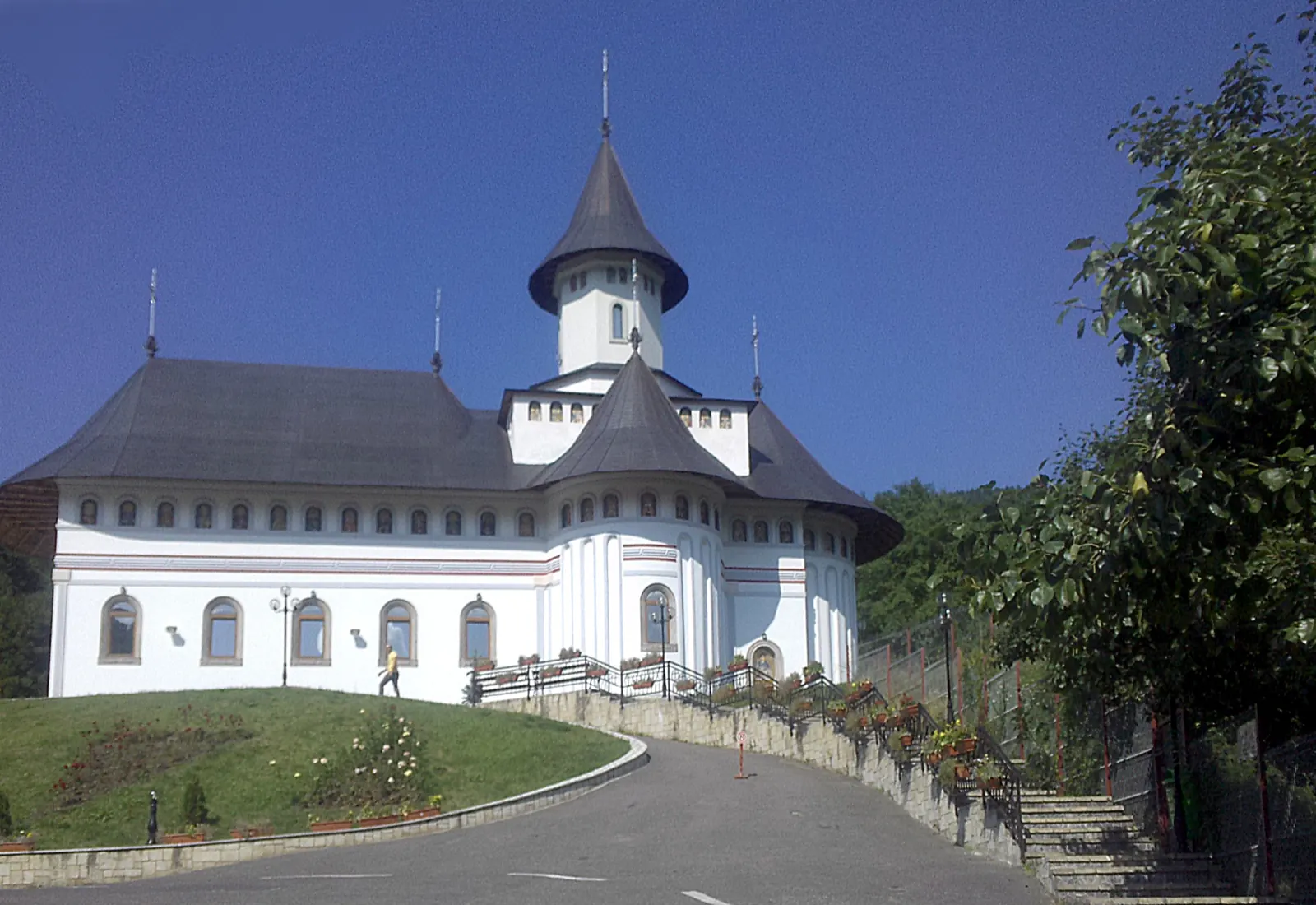
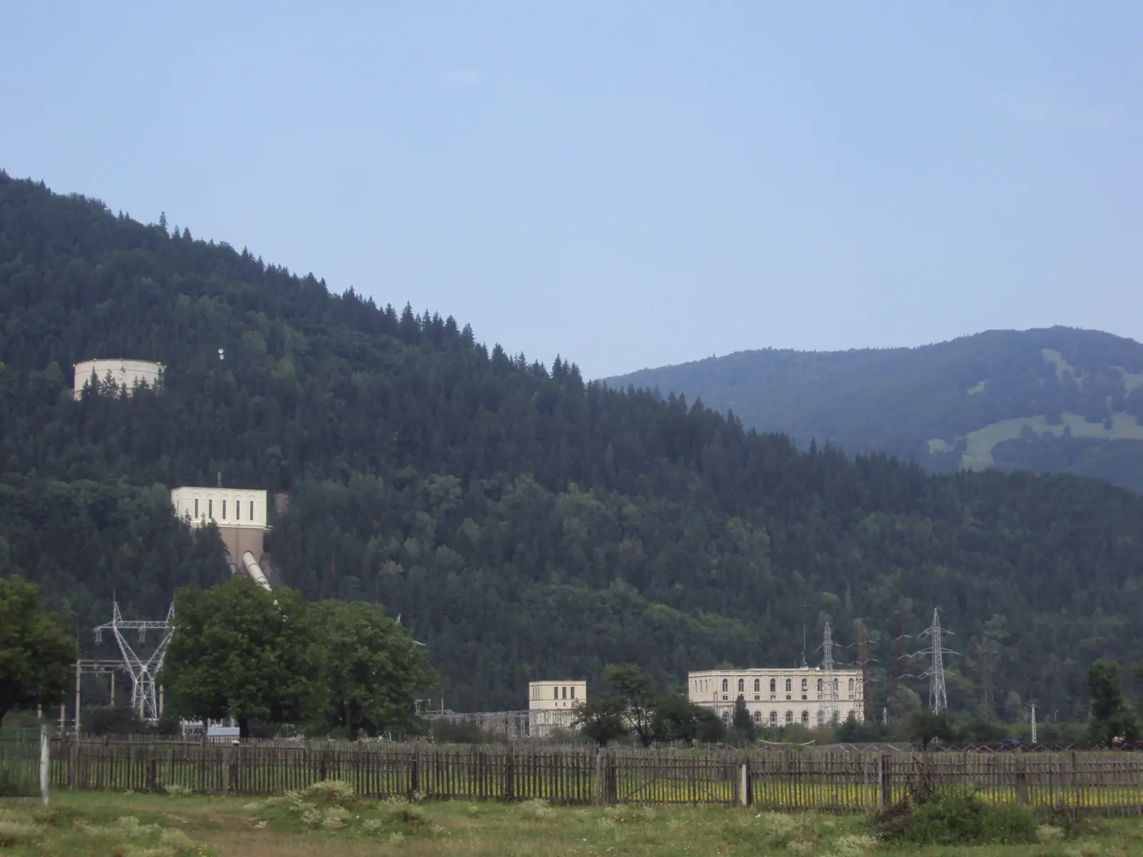
Stage 15
Oanțu
Stage 16
Poiana (Pângărați)
Stage 17
Monastery Sihăstria Tarcăului
The route arrives here on DC 135, in the village of Schit in Tarcău commune.
Stage 18
Ardeluța
Stage 19
Monastery Tărcuța
The route reaches the monastery on the Tărcuța forest road, then continues toward Ghimeș-Făget.
Stage 20
Ghimeș-Făget
Getting there
Access: Entry into the county is in the Râșca area. Toward Neamț Monastery, the route uses forest roads 178D and 179D and DJ 155C; on other segments, it follows DN 15B, DN 15F, DN 15G, DN 15, county roads, communal roads, forest roads, and trails.
Parking: Parking mentioned at Văratec Monastery.
Travel: Certain segments can be cycled; the narrow trail in the southern part is for walking only.
Before you set out
Walk the route in a group. For forest sections, you must have a guide; the Canton Runcu–Pângărați Castel area and Ardeluța–Ghimeș-Făget segments are recommended only with a guide. If you encounter a bear, do not run, shout, or threaten it; retreat calmly.
Difficult route, lasting several days.
- Emergencies
- 112
- Salvamont Neamț
- 0725 826 668
Nearby
Other trails
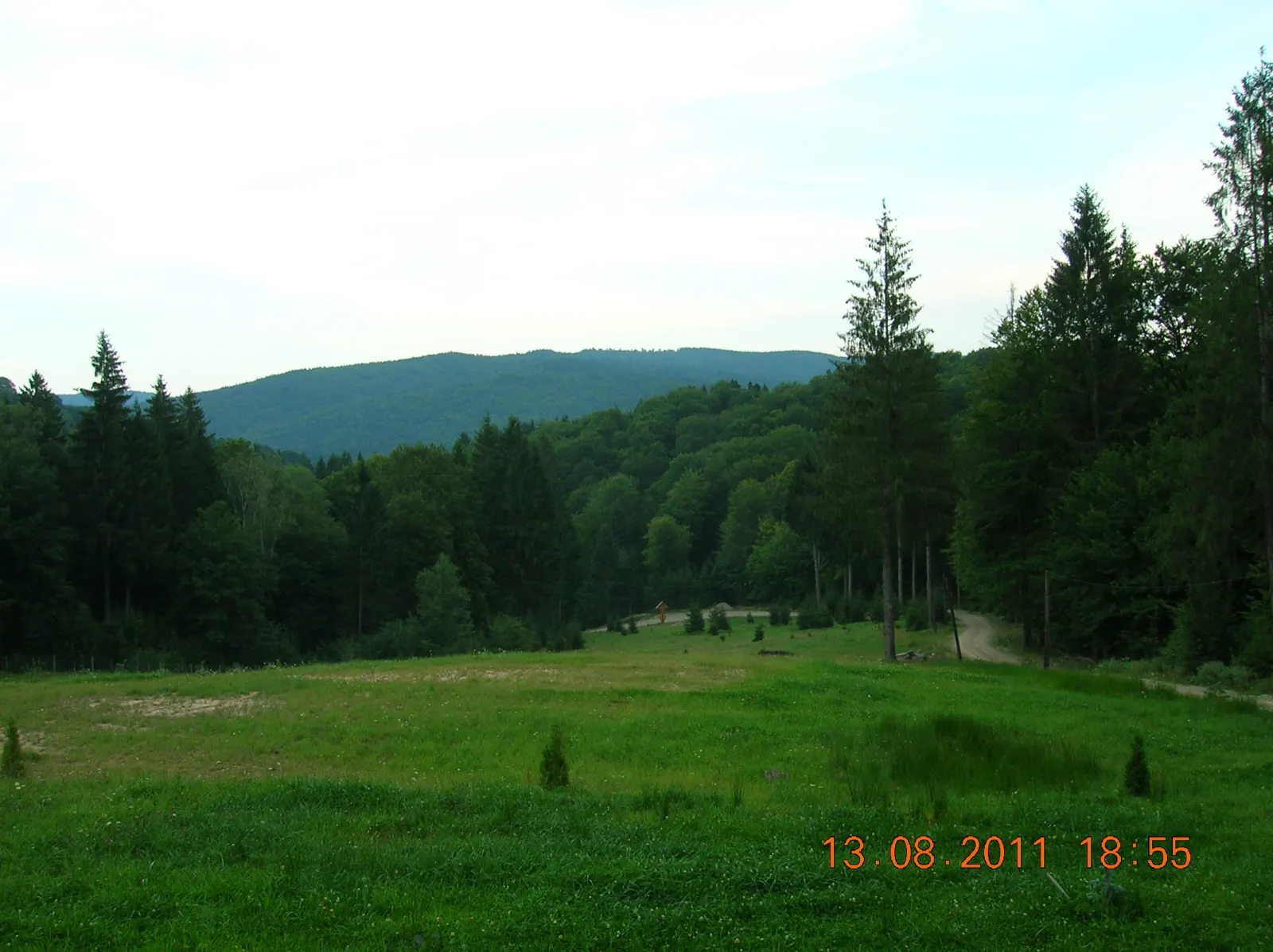
Ruta „Așezăminte creștine în județul Neamț” RO
179 km4–5 days↑ 2913 m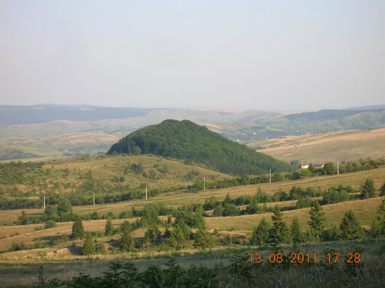
Route of the Miracle-Working Icons of Neamț
206 km2–3 days↑ 4928 mEcumenical Heritage Route – Christian Sites of Neamț County
179 km4–5 days↑ 4810 m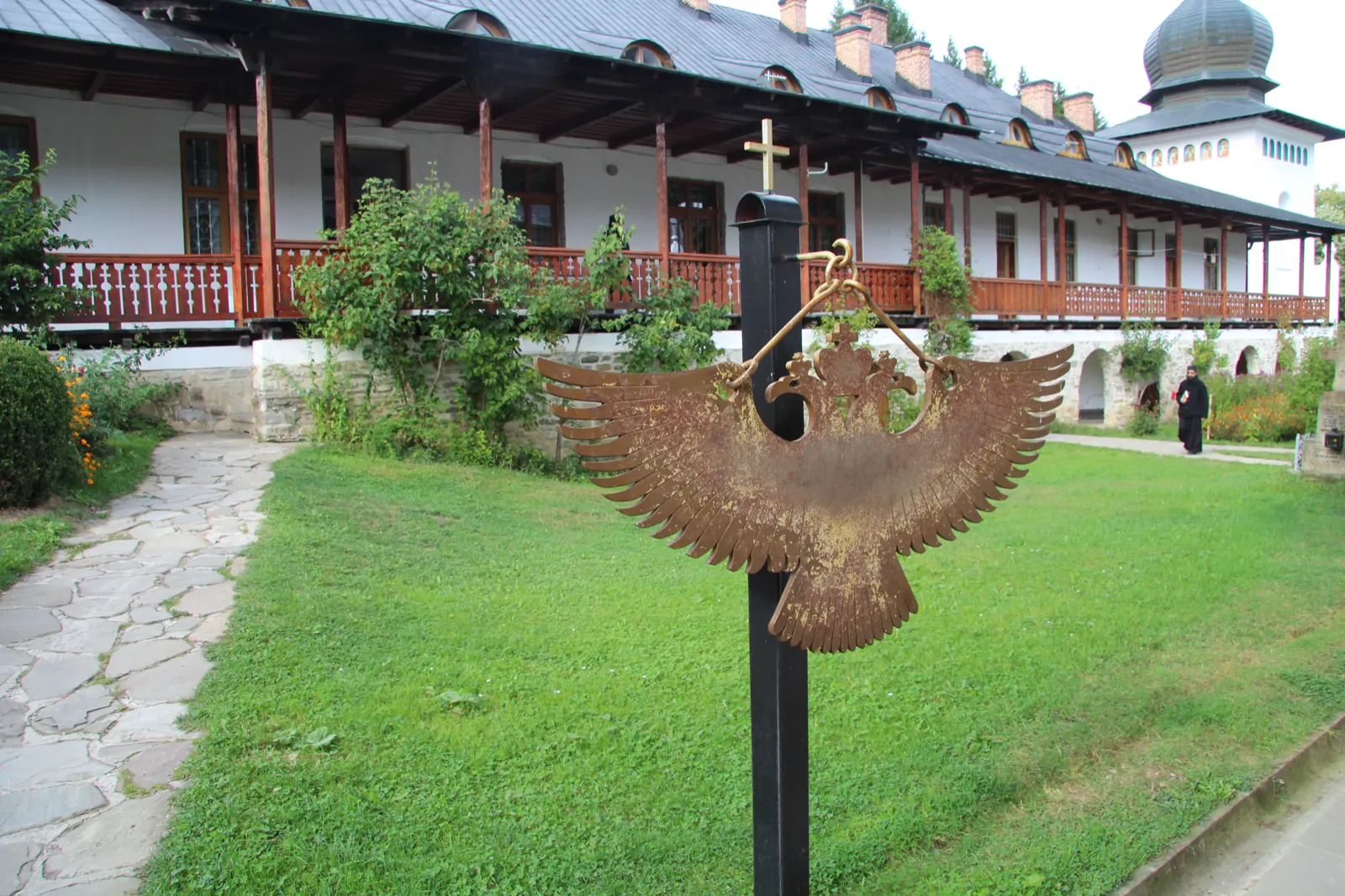
Visit the Neamț monasteries in winter (Agapia, Văratec, Secu, Sihăstria)
30.3 km↑ 519 m
Natură și sacralitate RO
4 days
Pe urmele zimbrilor RO
1 day
Photo credits11
- Photo: Wikimedia Commons · CC BY-SA 3.0 (Neamț Monastery and Museum Collection)
- Photo: Wikimedia Commons · CC0 (Dragoș Vodă Bison and Carpathian Wildlife Reserve)
- Photo: Wikimedia Commons · CC BY-SA 4.0 (Secu Monastery and Museum Collection)
- Photo: Wikimedia Commons · CC BY-SA 2.0 (Sihla Hermitage)
- Photo: Wikimedia Commons · CC BY-SA 3.0 (Agapia Monastery Museum and Living Museum)
- Photo: Wikimedia Commons · CC BY-SA 3.0 (Văratec Monastery and Museum Collection)
- Photo: Wikimedia Commons · Public domain (Pângărați Monastery)
- Photo: Wikimedia Commons · CC BY-SA 4.0 (Dimitrie Leonida Hydroelectric Power Plant, Stejaru)
- Photo: Wikimedia Commons · CC BY-SA 4.0 (The buildings of Secu Monastery)
- Photo: Wikimedia Commons · CC BY-SA 3.0 (Vânători-Neamț Natural Park)
- Photo: Wikimedia Commons · CC BY-SA 4.0 (Sihăstria Monastery)


