Ruta Via Mariae
Via Mariae is a pilgrimage and walking network with two axes, M01 east–west and M02 north–south, across Austria, Slovakia, Hungary, Romania, Poland, Croatia and Bosnia and Herzegovina.
Via Mariae (Via Mariæ, Hungarian Mária-út, “Mary’s Way”) is a network of pilgrimage and walking routes across Central Europe. Marking began in 2006 under the Mária Út associations. Their sites (mariaut.ro, mariaut.hu, mariaut.sk) and the pilgrimage office opened in Budapest in October 2024 describe the same figure: a cross on the map of seven countries, Austria, Slovakia, Hungary, Romania, Poland, Croatia and Bosnia and Herzegovina.
The east–west axis, M01, was named Via Mariae in 2007. The marks are purple. It runs from the shrine at Mariazell in Austria through Hungary (Celldömölk, Budapest, Máriapócs) to the Franciscan monastery at Șumuleu Ciuc. Published length is about 1,400 km, about 60 days on foot (Wikivoyage gives about 1,350 km for the same axis). The western half was finished by 2009. The Mariazell–Budapest section is named after Cardinal József Mindszenty: about 500 km in the Romanian Wikipedia, about 456 km and 58 day-stages in Wikivoyage.
Inside Romania, the Romanian Wikipedia takes M01 through Șimleu Silvaniei, Zalău, Bonțida, Sic and Nicula Monastery, across Mureș County to Șumuleu Ciuc, then on to Neamț Monastery, Cacica (the basilica of the Dormition) and Putna. Visit Harghita gives M01 as Cluj-Napoca – Târgu Mureș – Miercurea Ciuc, and M05, marked in red, as Târgu Mureș – Șumuleu Ciuc – Ghimeș-Făget. The Suceava tourism centre describes the continuation from the gate of Neamț Monastery to Putna, about 130 km in seven days, the first day Neamț Monastery to Râșca Monastery (14 km).
The north–south axis, M02, was extended in the 2010s. The marks are blue. It links Częstochowa in Poland with Međugorje in Bosnia and Herzegovina, through Staré Hory in Slovakia, Esztergom, Budapest and Pécs, then Slavonski Brod and Zenica, about 1,400 km in the Wikivoyage guide. It is marked less continuously than M01.
This page is the network. The Neamț section, with the M05 marks and the county guide’s 132 km between the county boundary and Ghimeș, has its own page: Via Mariae – Neamț County. The printed pilgrim guide is in the library.
Map of the route
The shrines of Central Europe and the Neamț county section.
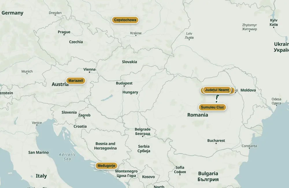 © OpenStreetMap · OpenFreeMap · EU-DEM / Copernicus
- The Neamț section
- Where it crosses Neamț
Nearby
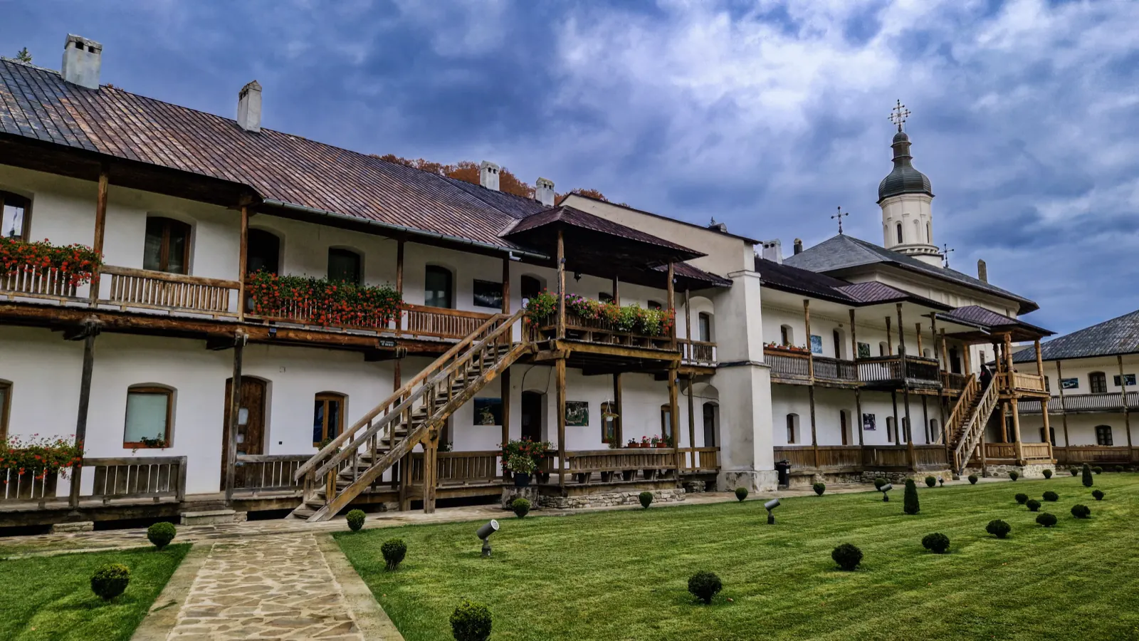
The buildings of Secu Monastery
The countries it crosses
- Austria
- Hungary
- Romania132.1 kmSee the section in Neamț county
- Slovakia
- Poland
- Croatia
- Bosnia
Other trails
Transnational Wooden Churches Route (Romania – Republic of Moldova), Neamț section
325 km↑ 7185 m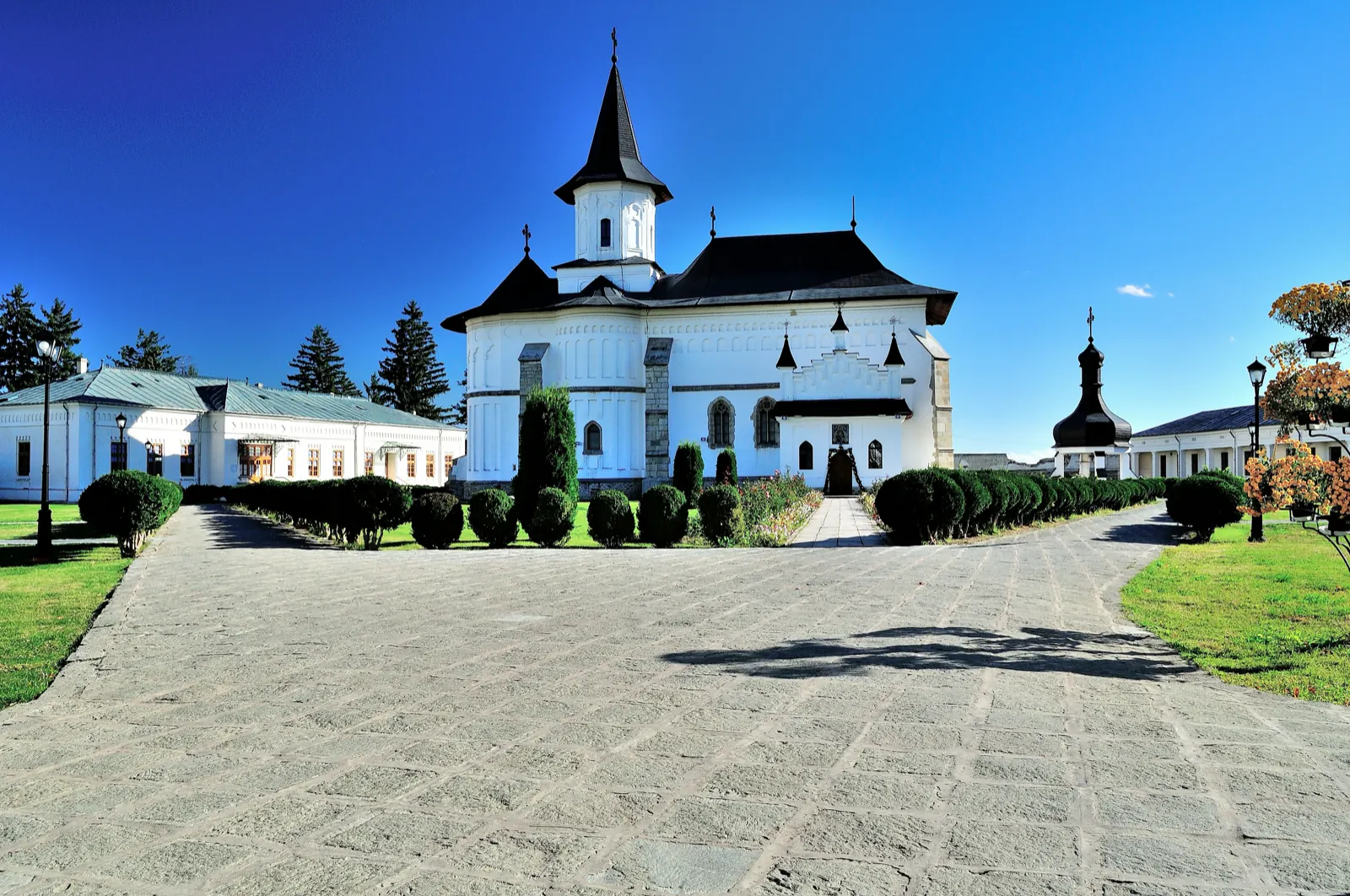
Vitoria Lipan’s trail (“Baltagul”): Borca – Sabasa Valley – Stânișoarei Saddle
24 km↑ 1860 m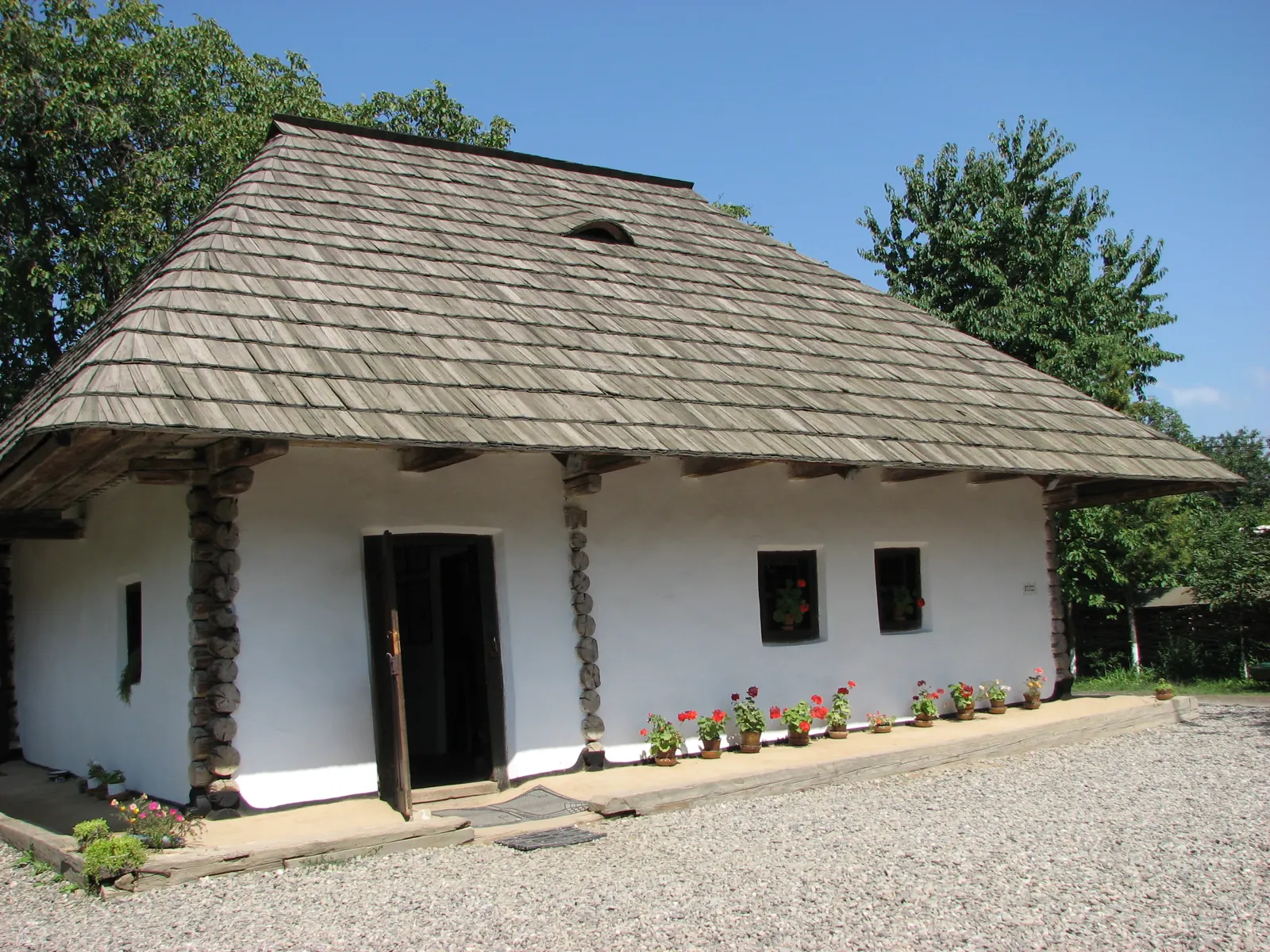
Pachetul „Să colindăm muzeele!” – varianta Curtea Domnească RO
3 hours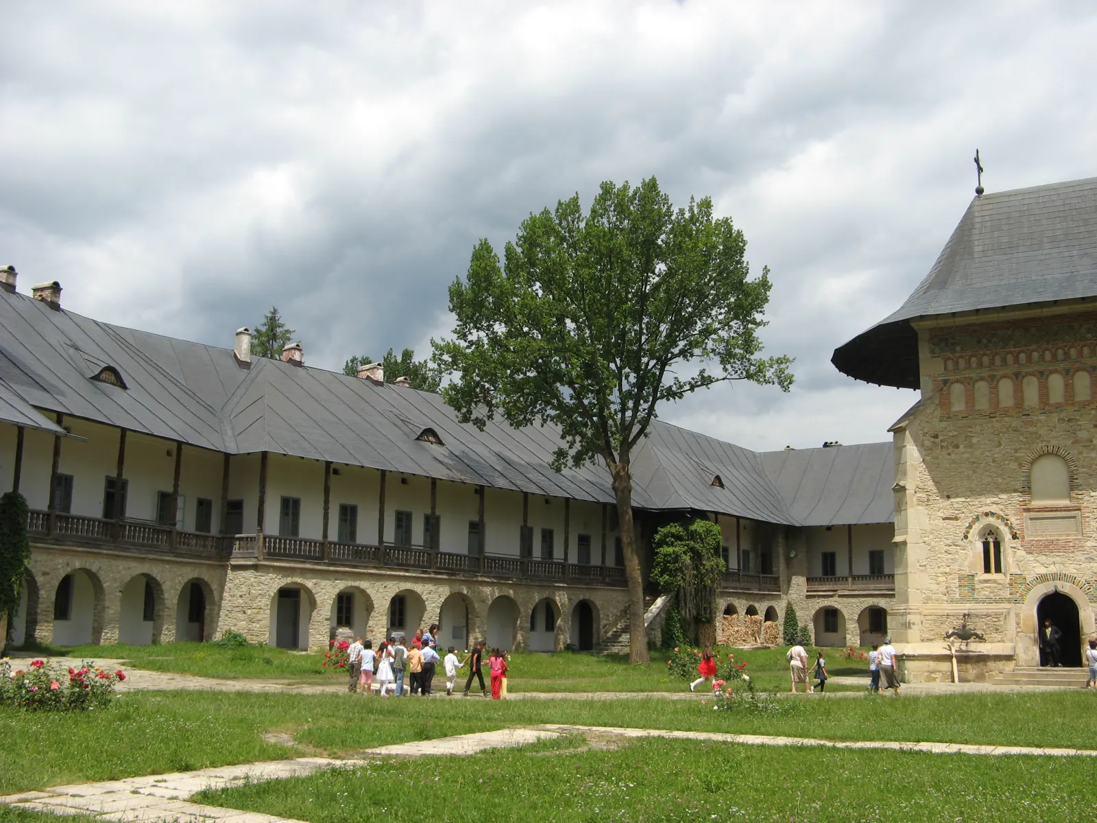
Pachetul „Să colindăm muzeele!” – varianta istorie, memorialistică, științele naturii RO
3 hoursStage 1: Iugani (Iași) – Gherăești
3 km↑ 6 m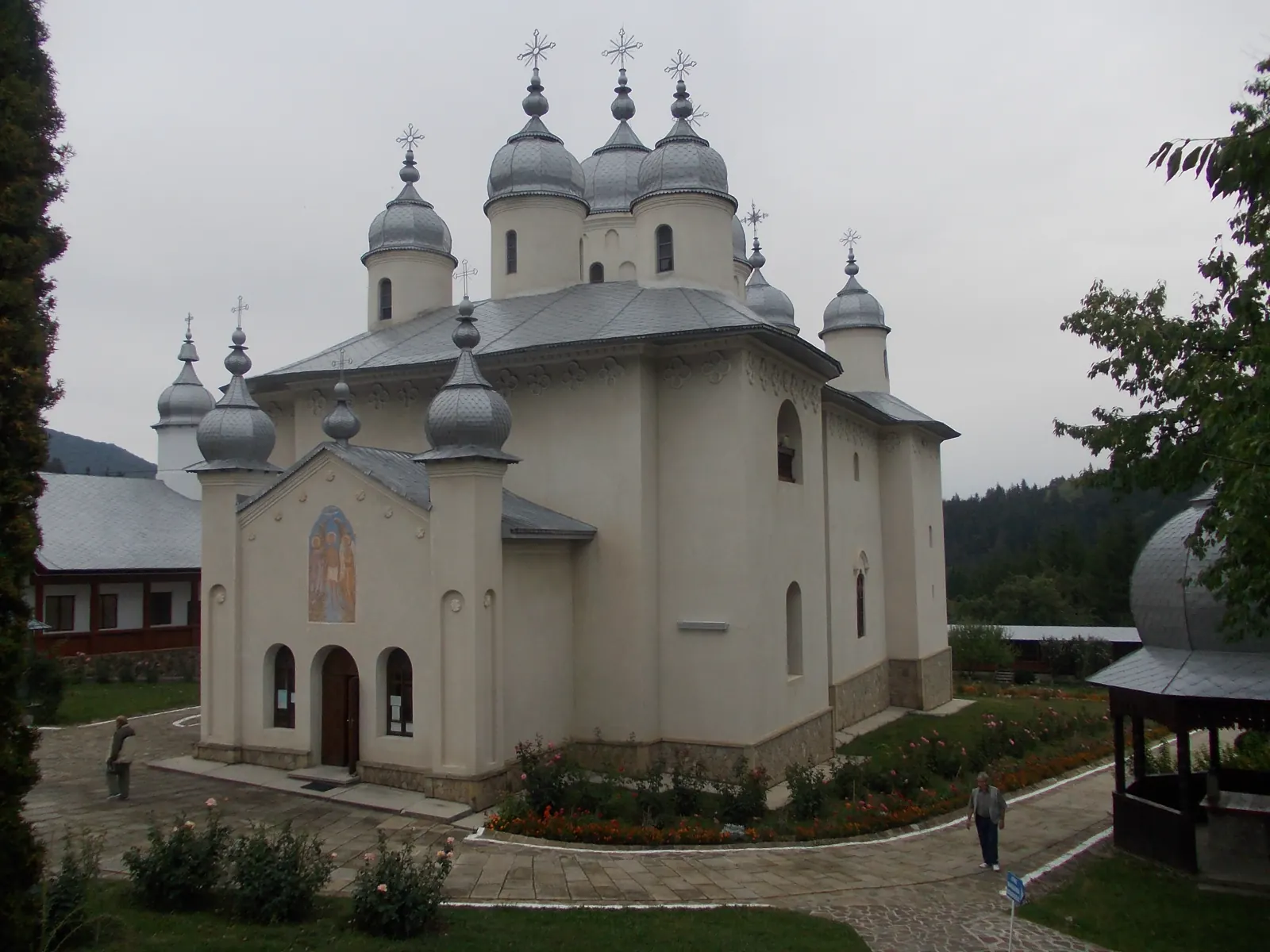
Stage 13: Moldoveni – Hociungi
3 km↑ 71 m
Photo credits2
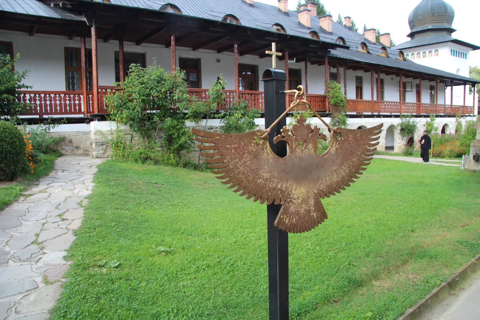
- Photo: Wikimedia Commons · CC BY-SA 4.0 (The courtyard of Sihăstria Monastery)
- Photo: Wikimedia Commons · CC BY-SA 4.0 (The buildings of Secu Monastery)

