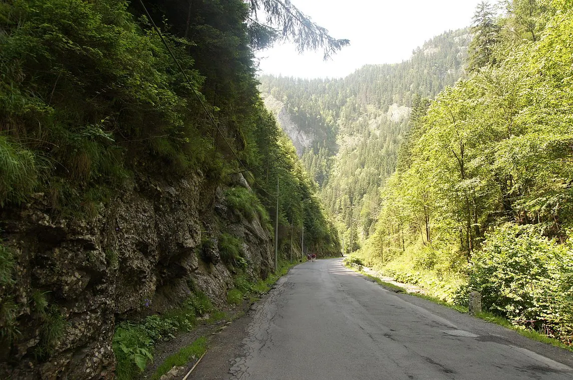
Trail 15: Bicaz Gorge – Lăpoș canyon to Cupaș Saddle
- Length
- 5 km
- Time
- 3 hours
- Difficulty
- Ascent
- 534 m
- Descent
- 125 m
- Altitude
- 852–1275 m
- Start
- Cheile Bicazului
- Finish
- DN 12C
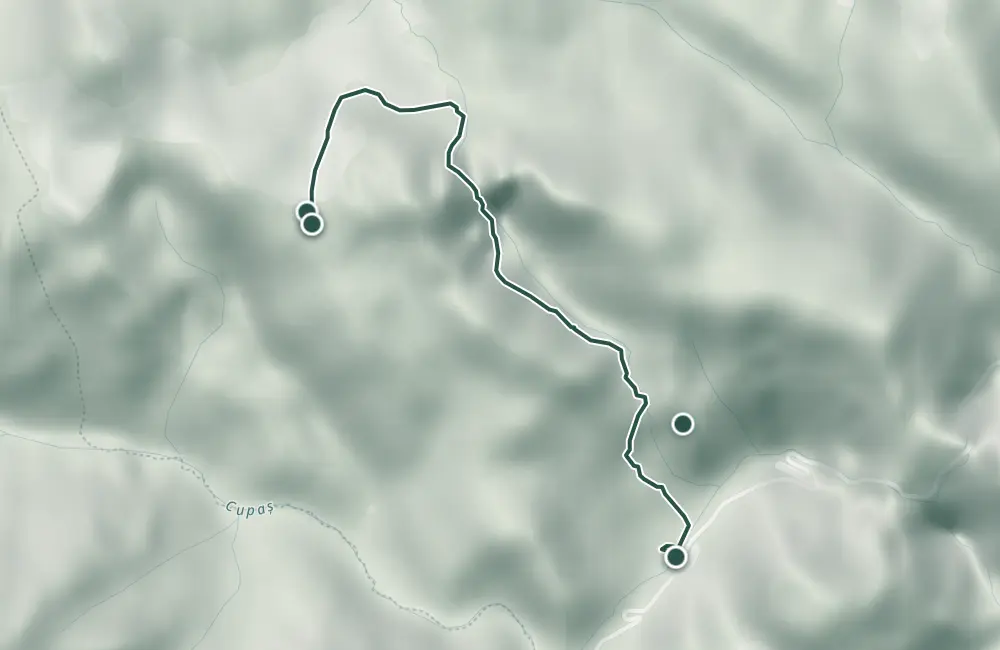
Route 15 starts from Cheile Bicazului, passes by Piatra Altarului and through Canionul Lăpoșului, and climbs towards Șaua Cupașului. The return follows the red dot or red cross marking, then a forest road to DN 12C; the declared length of the circuit is 5 km, with a duration of 3 hours.
In winter the trail is difficult to traverse, and the Lăpoșului waterfalls freeze.
Map of the route
 © OpenStreetMap · OpenFreeMap · EU-DEM / Copernicus
- The route
- Start
- Finish
- 1Stops along the way
↑ 534 m↓ 125 m852–1275 m
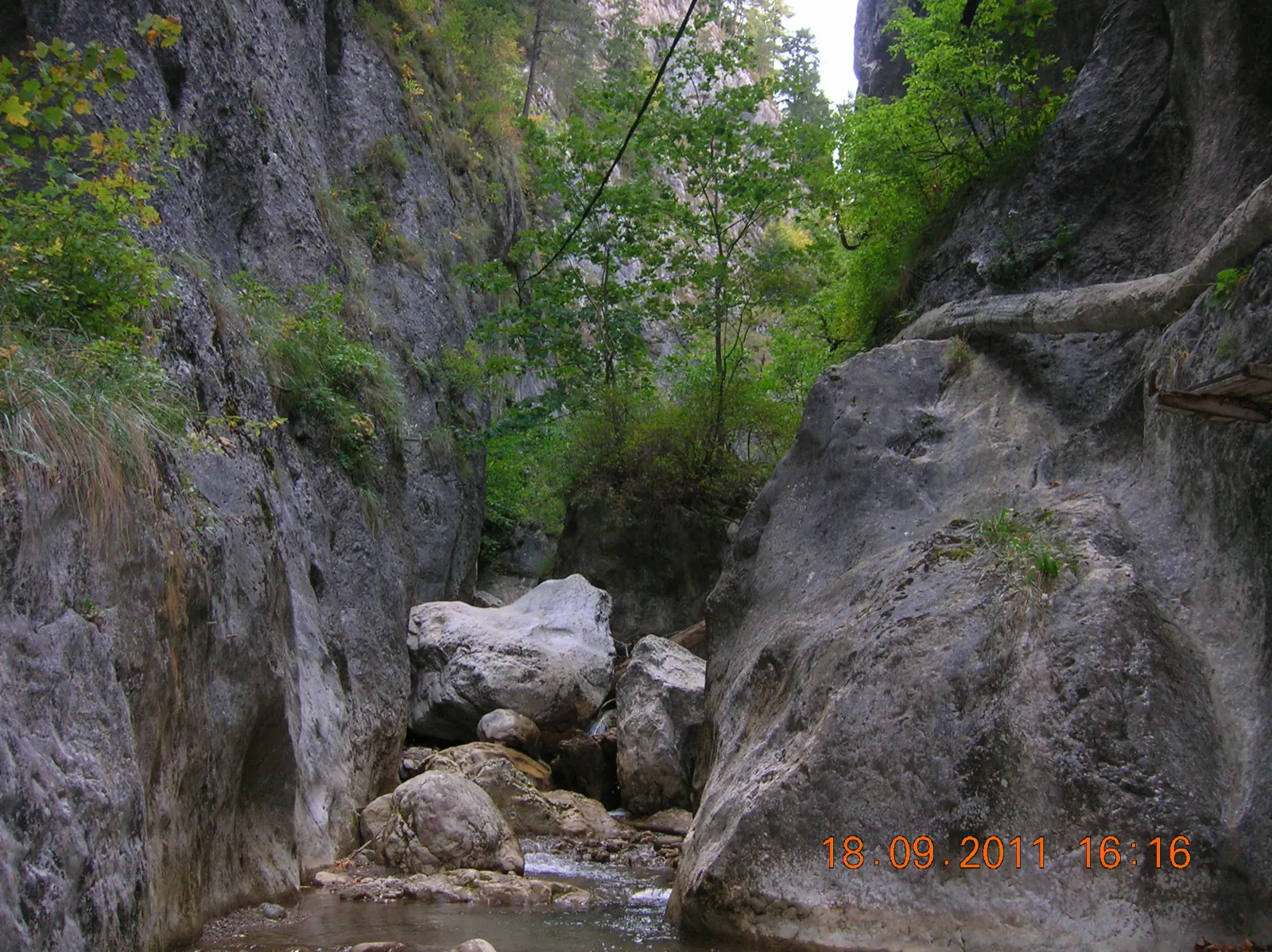
The stages
Stage 1
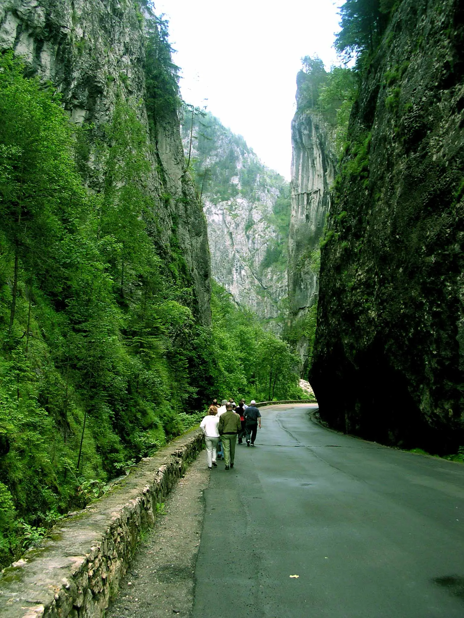
Bicaz Gorges, entrance to the canyon
Stage 5
Forest road with poles
On the way back, the red dot or red cross marking reaches this road.
Stage 6
DN 12C
From the forest road, turn left to return to the road.
Getting there
Access: The entrance is from DN 12C, at kilometer 29, a few hundred meters after the tunnel.
Parking: The first parking lot on the right after the tunnel, or the tourist rest stop on the left, immediately after the tunnel.
Before you set out
The trail is difficult to traverse in winter.
The declared elevation difference is 425 m.
- Emergencies
- 112
- Salvamont Neamț
- 0725 826 668
Stay near the start
Nearby


Other trails
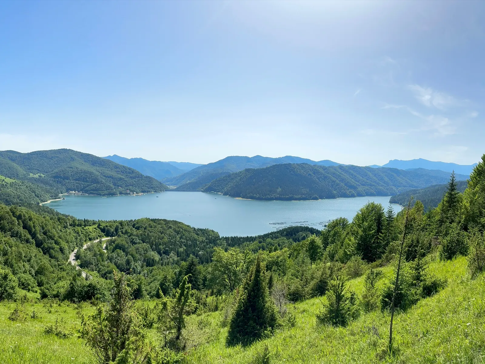
Trail 11: Red Lake – Ghilcoș Meadow to viewpoint
4 km2 hours↑ 390 m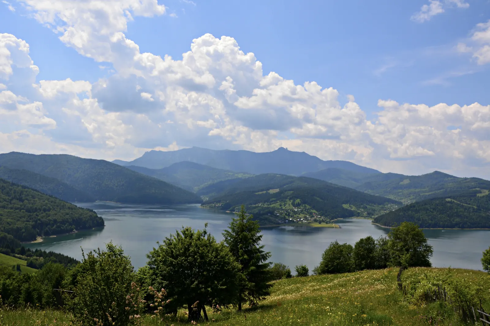
Trail 12: Valea Oii – Paleu ridge to Bicăjel hamlet
4.3 km2 hours↑ 306 m
Trail 13: Landing stage – Ghilcoș Meadow to viewpoint
3.5 km2 hours↑ 112 m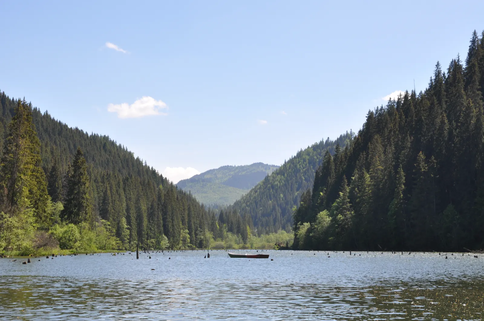
Trail 3: Red Lake – Suhard Hut to Suhardul Mic
3 km1 hour and 15 minutes↑ 337 m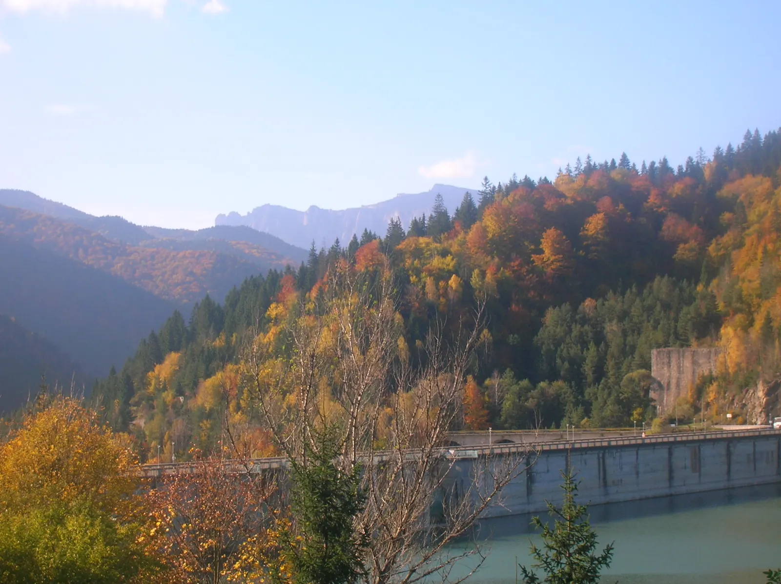
Trail 4: Red Lake – Bicajel Gorge to Surduc road
10 km3–4 hours↑ 652 m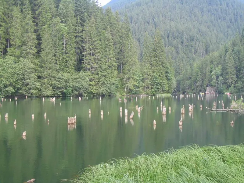
Trail 9: Red Lake – Valea Oii to Poiana Albă
8 km2 hours and 30 minutes↑ 537 m
Photo credits5
- Photo: Wikimedia Commons · CC BY-SA 3.0 (Bicaz Gorge (Cheile Bicazului–Hășmaș National Park))
- Photo: Wikimedia Commons · CC BY-SA 3.0 (Șugău Gorge – Munticelu)
- Photo: Wikimedia Commons · CC BY-SA 3.0 (Bicaz Gorge (Cheile Bicazului–Hășmaș National Park))
- Photo: Wikimedia Commons · Public domain (Ceahlău National Park)
- Photo: Wikimedia Commons · Public domain (Duruitoarea Waterfall)


