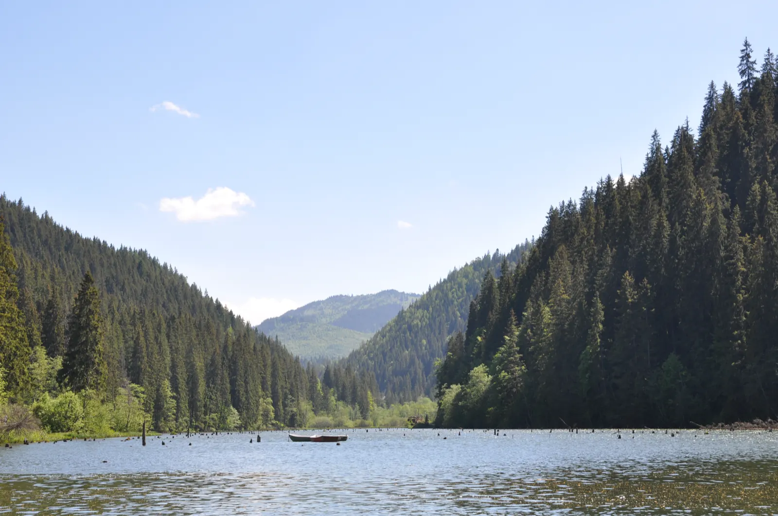
Trail 4: Red Lake – Bicajel Gorge to Surduc road
- Length
- 10 km
- Time
- 3–4 hours
- Difficulty
- Ascent
- 652 m
- Altitude
- 761–1024 m
- Waymark
- Yellow stripe
- Start
- Centrul stațiunii Lacu Roșu
Trail 4 forms a loop from the center of Lacu Roșu resort through Cheile Bicăjelului and Drumul Surducului, returning to the lake. The declared length is 10 km, and it takes 3–4 hours to complete.
Along the trail, wooden bridges over the Bicăjel, a viewpoint on the southeastern slope, Poiana Surducel, the old Surduc road, and Piatra Surducel are mentioned.
Accessible all year, with reservations during rainy periods and in winter–spring.
Map of the route
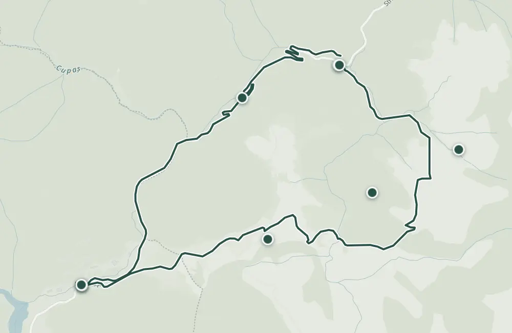 © OpenStreetMap · OpenFreeMap · EU-DEM / Copernicus
- The route
- Start
- 1Stops along the way
↑ 652 m↓ 623 m761–1024 m
The stages
Stage 1
Centrul stațiunii Lacu Roșu
Stage 2
Poarta de Piatră
Stage 3
Podul Ungurilor
Stage 4
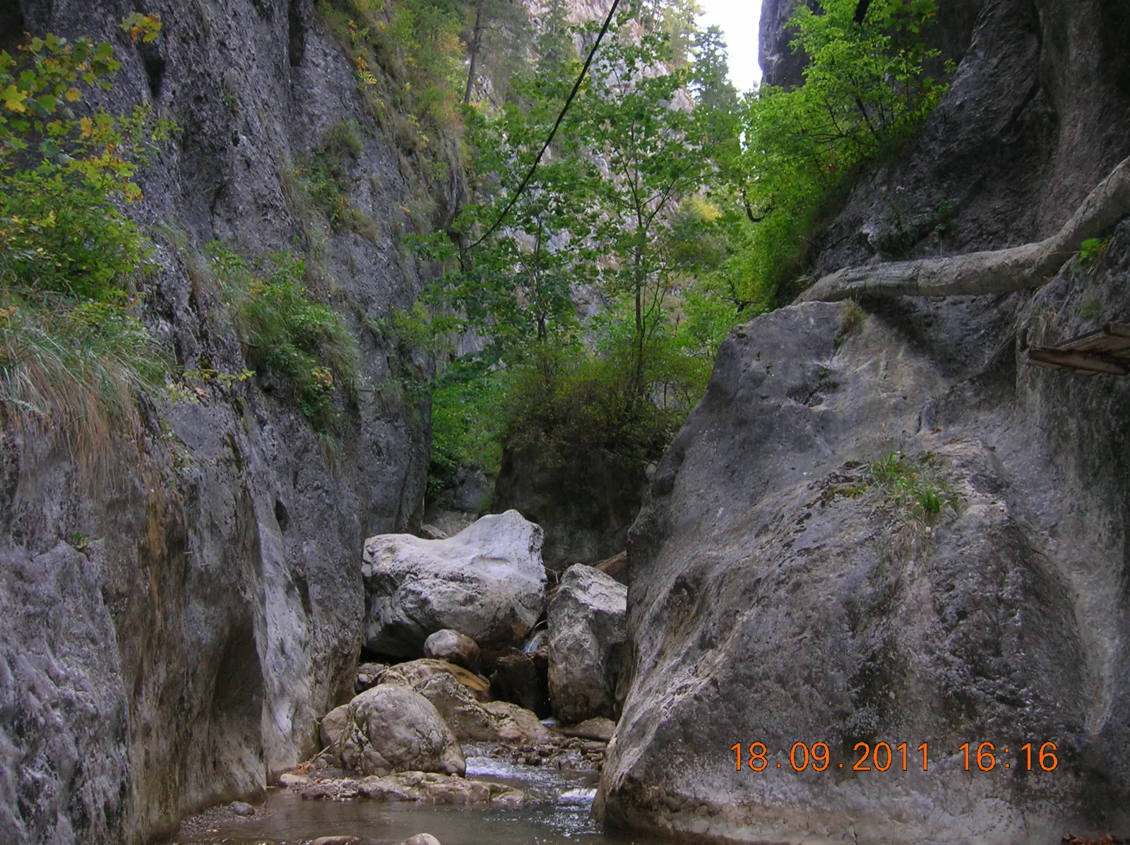
Cheile Bicăjelului
The route passes by Bicăjel, over wooden bridges, and continues under Piatra Surducului.
Stage 5
Poiana Surducel
Stage 6
Piatra Surducel
Stage 7
Poiana Vărarilor
Stage 8
Șaua Piatra Roșie (1011 m)
Stage 9
Șaua Vereșcheu
From here the route descends toward Lacul Roșu.
Stage 10
Lake Roșu
Getting there
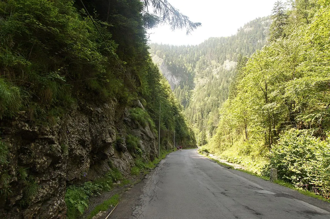
Access: From the center of Lacu Roșu resort, the route follows DN 12C toward Cheile Bicazului, then passes through Cheile Bicăjelului and returns via Drumul Surducului.
Before you set out
Crossing the Bicazul Mic can be problematic in rainy weather or in winter–spring.
- Emergencies
- 112
- Salvamont Neamț
- 0725 826 668
Stay near the start
Nearby


Other trails
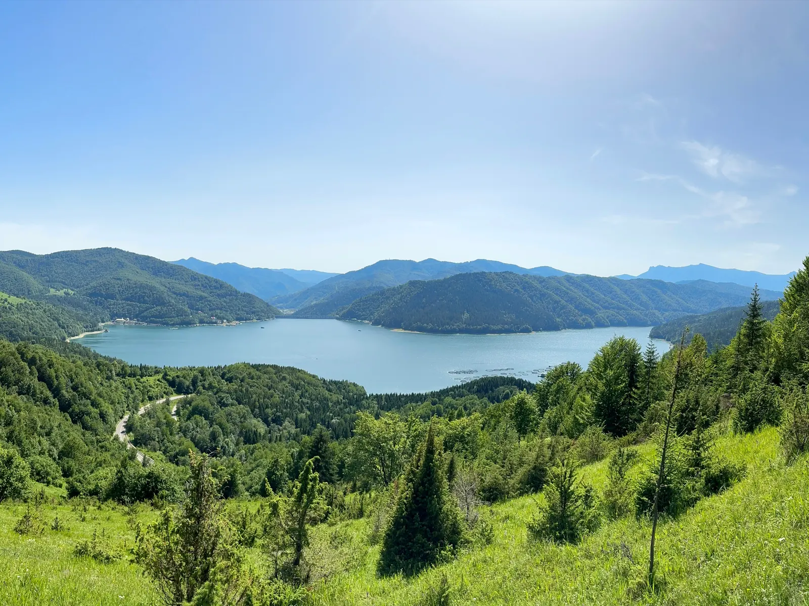
Trail 11: Red Lake – Ghilcoș Meadow to viewpoint
4 km2 hours↑ 390 m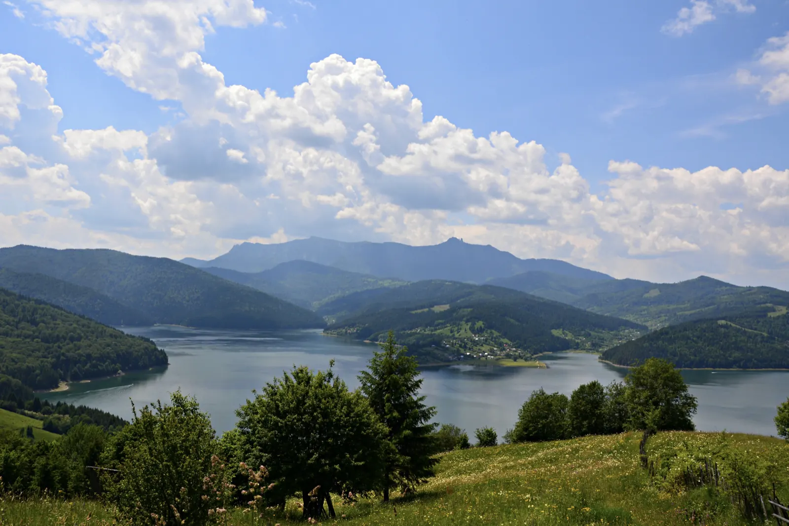
Trail 12: Valea Oii – Paleu ridge to Bicăjel hamlet
4.3 km2 hours↑ 306 m
Trail 13: Landing stage – Ghilcoș Meadow to viewpoint
3.5 km2 hours↑ 112 m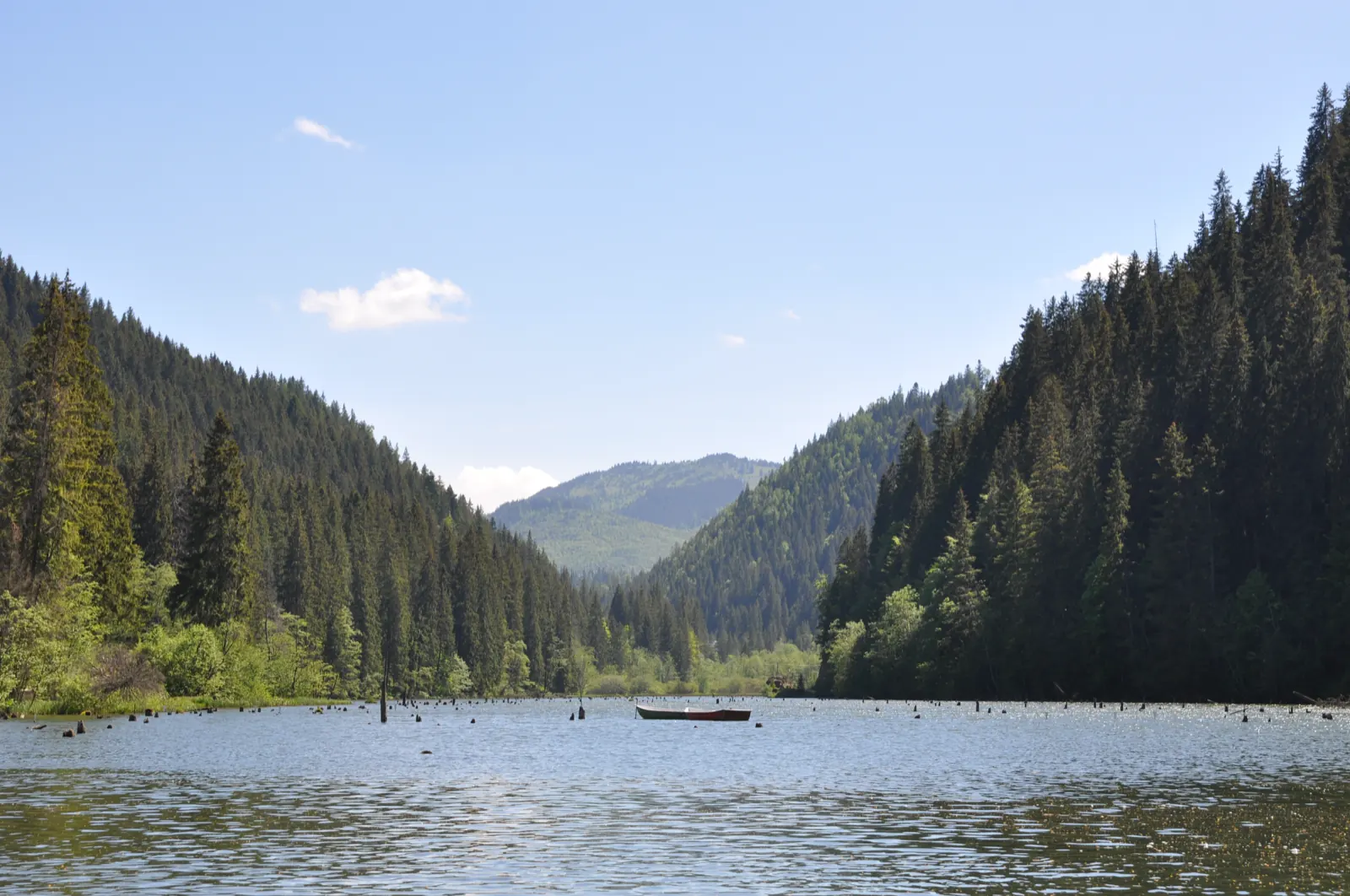
Trail 15: Bicaz Gorge – Lăpoș canyon to Cupaș Saddle
5 km3 hours↑ 534 m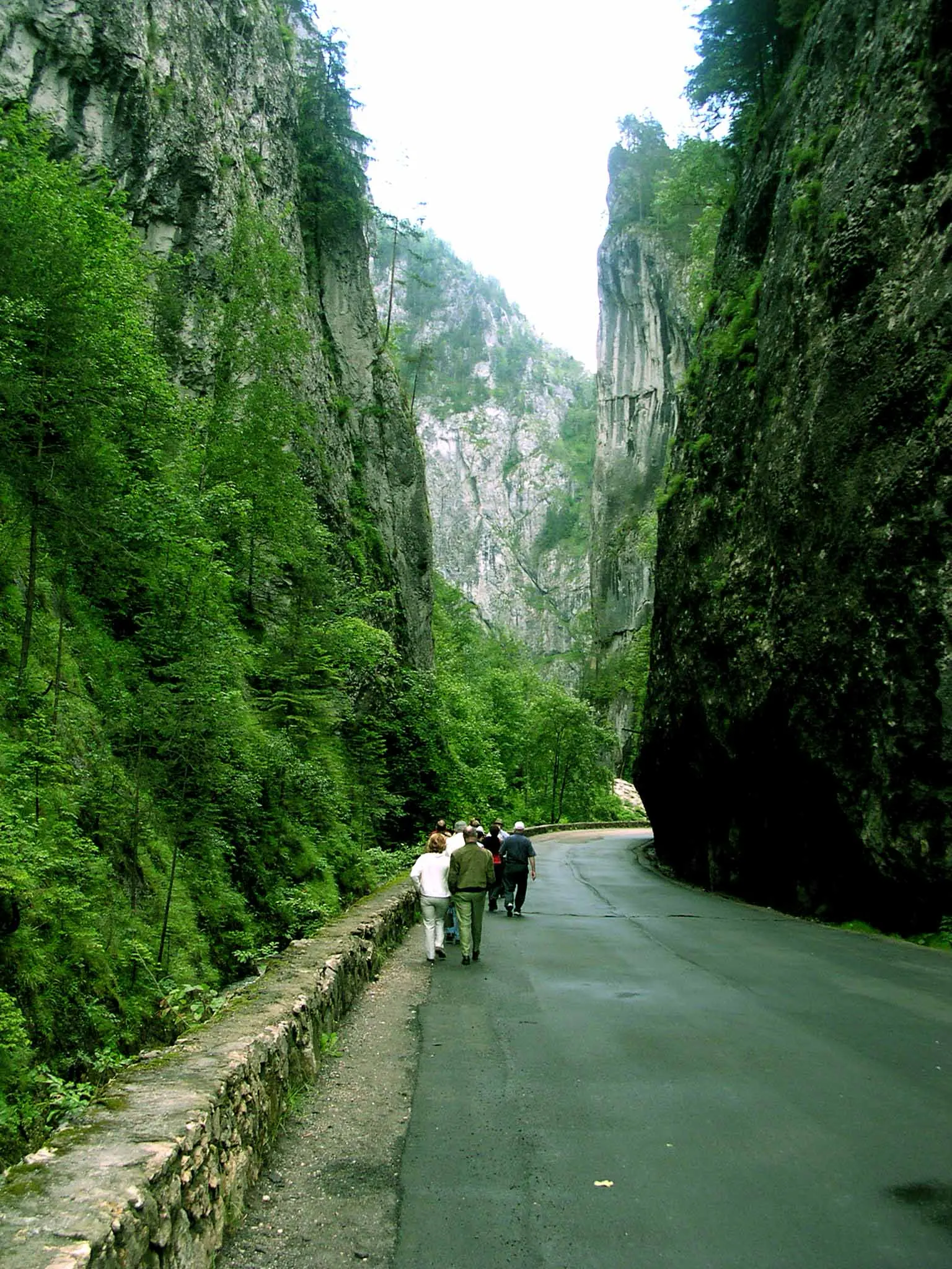
Trail 3: Red Lake – Suhard Hut to Suhardul Mic
3 km1 hour and 15 minutes↑ 337 m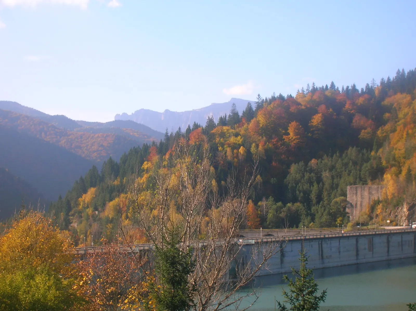
Trail 9: Red Lake – Valea Oii to Poiana Albă
8 km2 hours and 30 minutes↑ 537 m
Photo credits6
- Photo: Wikimedia Commons · CC BY-SA 4.0 (Lacul Roșu)
- Photo: Wikimedia Commons · CC BY-SA 3.0 (Bicaz Gorge (Cheile Bicazului–Hășmaș National Park))
- Photo: Wikimedia Commons · CC BY-SA 3.0 (Șugău Gorge – Munticelu)
- Photo: Wikimedia Commons · CC BY-SA 3.0 (Bicaz Gorge (Cheile Bicazului–Hășmaș National Park))
- Photo: Wikimedia Commons · Public domain (Ceahlău National Park)
- Photo: Wikimedia Commons · Public domain (Duruitoarea Waterfall)


