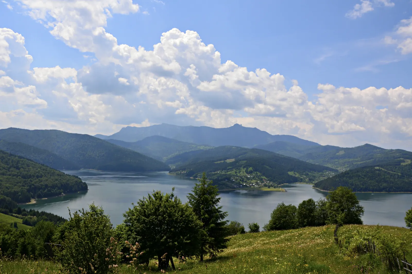
Trail 13: Landing stage – Ghilcoș Meadow to viewpoint
- Length
- 3.5 km
- Time
- 2 hours
- Difficulty
- Ascent
- 112 m
- Descent
- 10 m
- Altitude
- 1250–1363 m
- Waymark
- Blue dot
- Season
- Accessible all year round
- Start
- Debarcader
- Finish
- Belvedere Piatra Ghilcoș
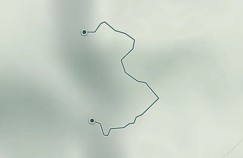
Route 13 starts from the dock, passes through Poiana Ghilcoș and reaches the viewpoint Piatra Ghilcoș, at 1,378 m.
It is marked with a blue dot, is 3.5 km long and takes 2 hours.
Map of the route
 © OpenStreetMap · OpenFreeMap · EU-DEM / Copernicus
- The route
- Start
- Finish
- 1Stops along the way
↑ 112 m↓ 10 m1250–1363 m
The stages
Stage 1
Debarcader
Stage 2
Poiana Ghilcoș (1.210 m)
Stage 3
Belvedere Piatra Ghilcoș
The viewpoint is at 1,378 m.
Stay near the start
Nearby


Other trails
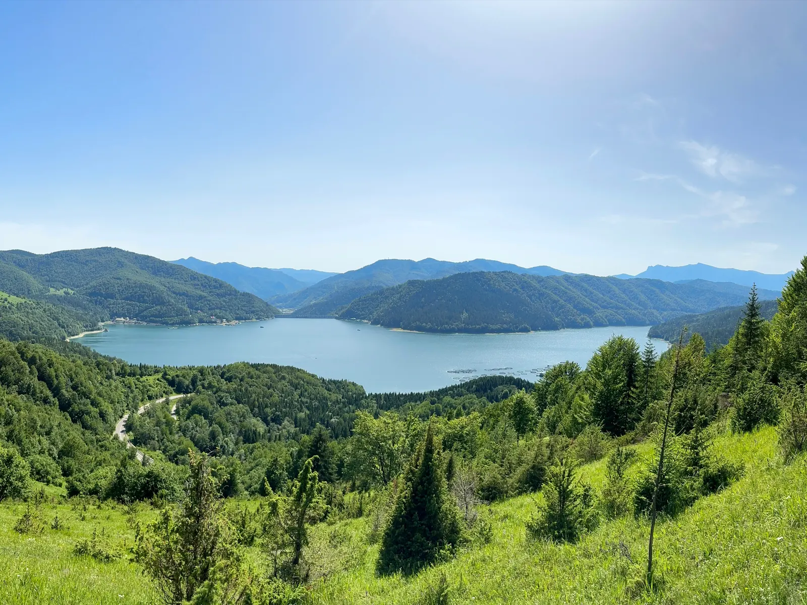
Trail 11: Red Lake – Ghilcoș Meadow to viewpoint
4 km2 hours↑ 390 m
Trail 12: Valea Oii – Paleu ridge to Bicăjel hamlet
4.3 km2 hours↑ 306 m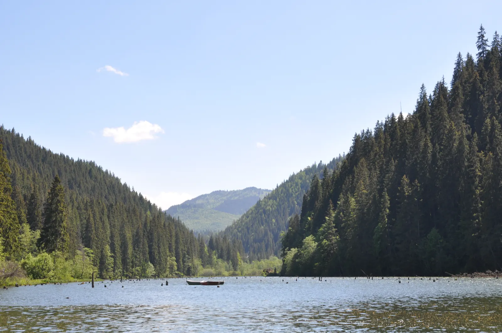
Trail 15: Bicaz Gorge – Lăpoș canyon to Cupaș Saddle
5 km3 hours↑ 534 m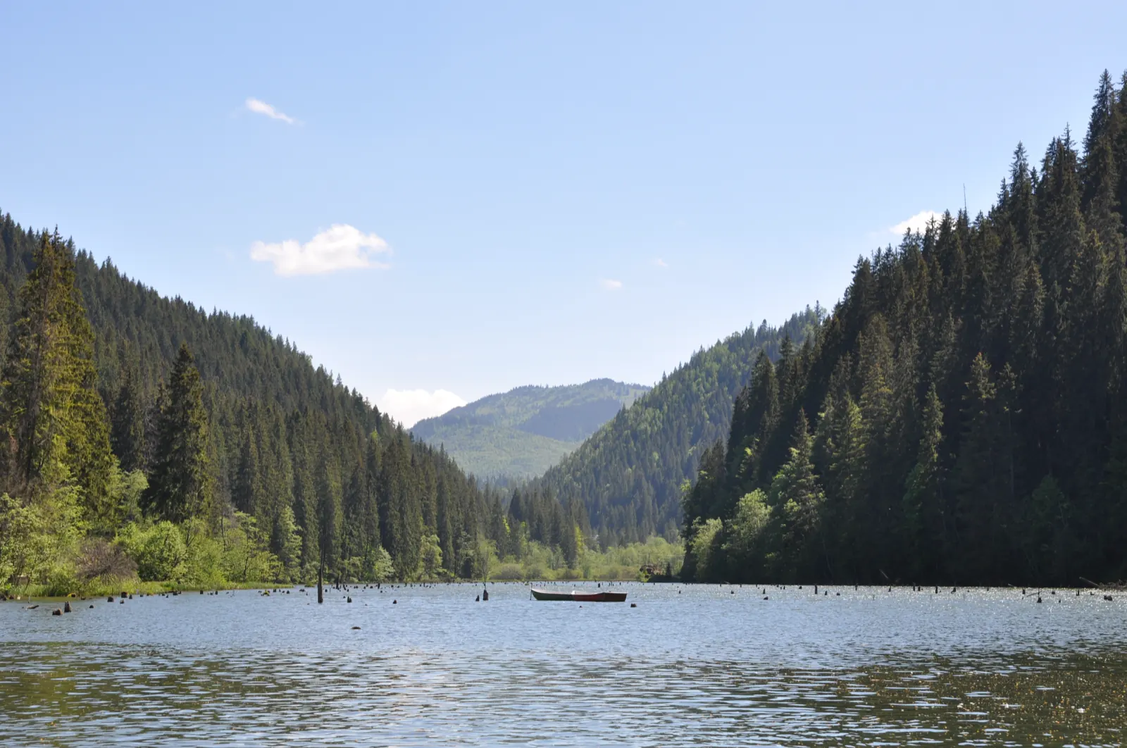
Trail 3: Red Lake – Suhard Hut to Suhardul Mic
3 km1 hour and 15 minutes↑ 337 m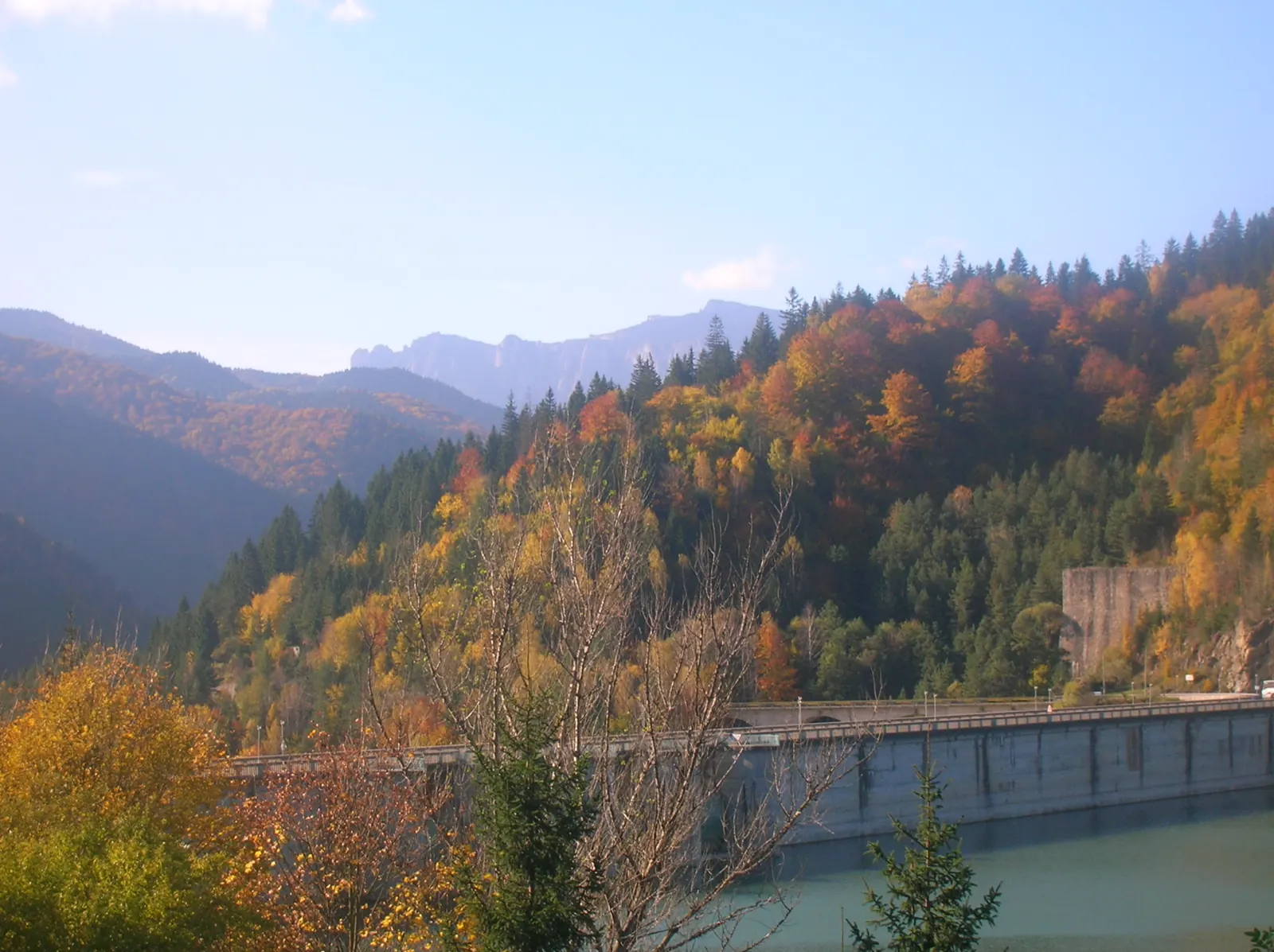
Trail 4: Red Lake – Bicajel Gorge to Surduc road
10 km3–4 hours↑ 652 m
Trail 9: Red Lake – Valea Oii to Poiana Albă
8 km2 hours and 30 minutes↑ 537 m
Photo credits5
- Photo: Wikimedia Commons · CC BY-SA 3.0 (Lake Izvorul Muntelui under clouds)
- Photo: Wikimedia Commons · CC BY-SA 3.0 (Șugău Gorge – Munticelu)
- Photo: Wikimedia Commons · CC BY-SA 3.0 (Bicaz Gorge (Cheile Bicazului–Hășmaș National Park))
- Photo: Wikimedia Commons · Public domain (Ceahlău National Park)
- Photo: Wikimedia Commons · Public domain (Duruitoarea Waterfall)


