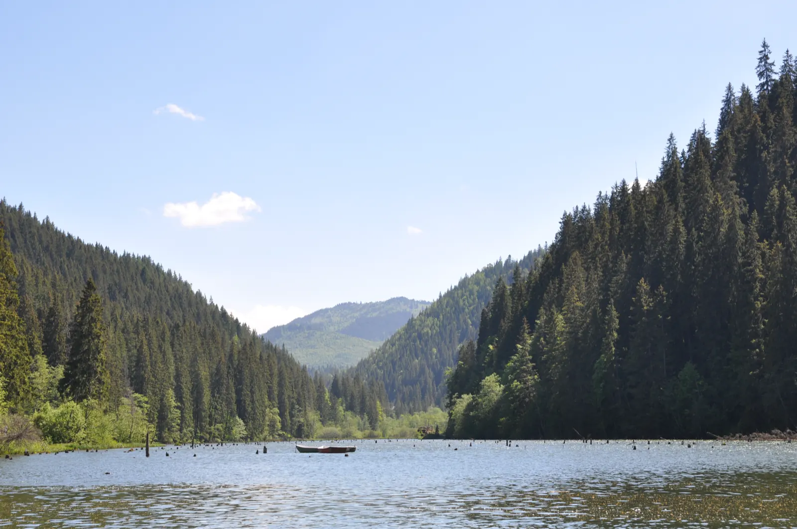
Trail 5: Cupaș stream mouth to Lăpoș road
- Length
- 7 km
- Time
- 2 hours
- Difficulty
- Waymark
- Blue dot
- Season
- On foot all year round; by car outside of winter
- Start
- Gura pârâului Cupaș
- Finish
- Drumul Lăpoșului
Trail 5 follows the Cupaș Valley from the mouth of the Cupaș stream to the Lăpoș Road.
It is 7 km, marked with a blue dot, and has an indicated duration of 2 hours.
The stages
Stage 1
Gura pârâului Cupaș (944 m)
Stage 2
Valea Cupaș
Stage 3
Gura pârâului Cupașul Mic (962 m)
Stage 4
Drumul Lăpoșului (1435 m)
Getting there
Access: The trail starts at the mouth of the Cupaș stream, at 944 m.
Getting there: Travel by car is recommended outside of winter.
Before you set out
In winter, car access is excluded.
Declared elevation difference: 491 m.
Other trails
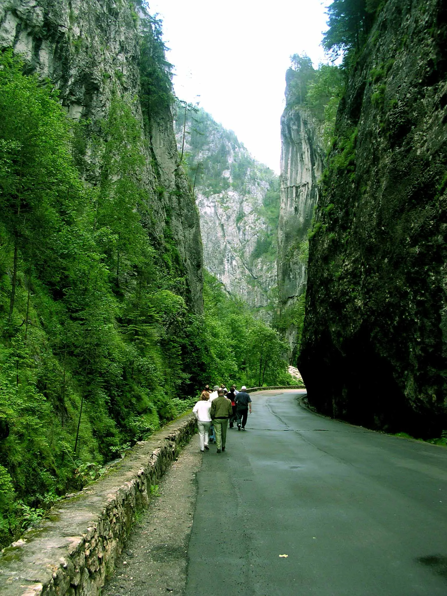
Trail 17: Bălan to Piatra Singuratică Hut
3.77 km3–3.5 hours↑ 634 m
The wartime frontiers trail in the Neamț mountains (project in progress)

Traseul turistic de la schitul din Cuejdi spre Lacul Cuejdel RO
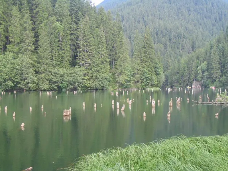
Drumeție de două zile, la Piatra Singuratică, Moara Dracului și Muntele Ecem (Hășmașul Mic) cu înnoptare la Cabana Piatra Singuratică – dificultate medie/grea RO
two days
Drumeție spre Lacul Cuejdel RO
2 km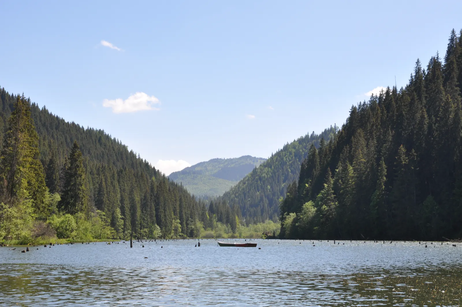
Cetatea Dacică Petrodava și Agârcia RO
25 km3.5 hours↑ 1000 m
Photo credits1
- Photo: Wikimedia Commons · CC BY-SA 4.0 (Lacul Roșu)
