
The wartime frontiers trail in the Neamț mountains (project in progress)
- Difficulty
- Start
- Gura Pintecului
- Finish
- Vârful Grințieșului
The Frontiers Trail is an ongoing historical project in the Bistrița Mountains, between Bicazu Ardelean and Borca. The described section starts at Gura Pintecului, passes by Pietrele Roșii and Preluca Ursului, and reaches the Grințieș Peak at 1,758 m.
Camping is possible after the first day at Preluca Ursului and the second night on the Grințieș Peak. The places along the trail preserve testimonies of the battles from 1916–1918 and 1940–1944.
At Gura Pintecului there was a border guard post, and villagers sheltered in the caves on the slope during World War II. The road continues towards Piatra Mociului and Pietrele Roșii, where battles took place in both wars.
On the ridge, the trail passes through spruce forests and alongside trenches, before reaching Preluca Ursului. From the place called "La Morminte" it continues towards the Grințieș Peak, with views of Ceahlău and Călimani.
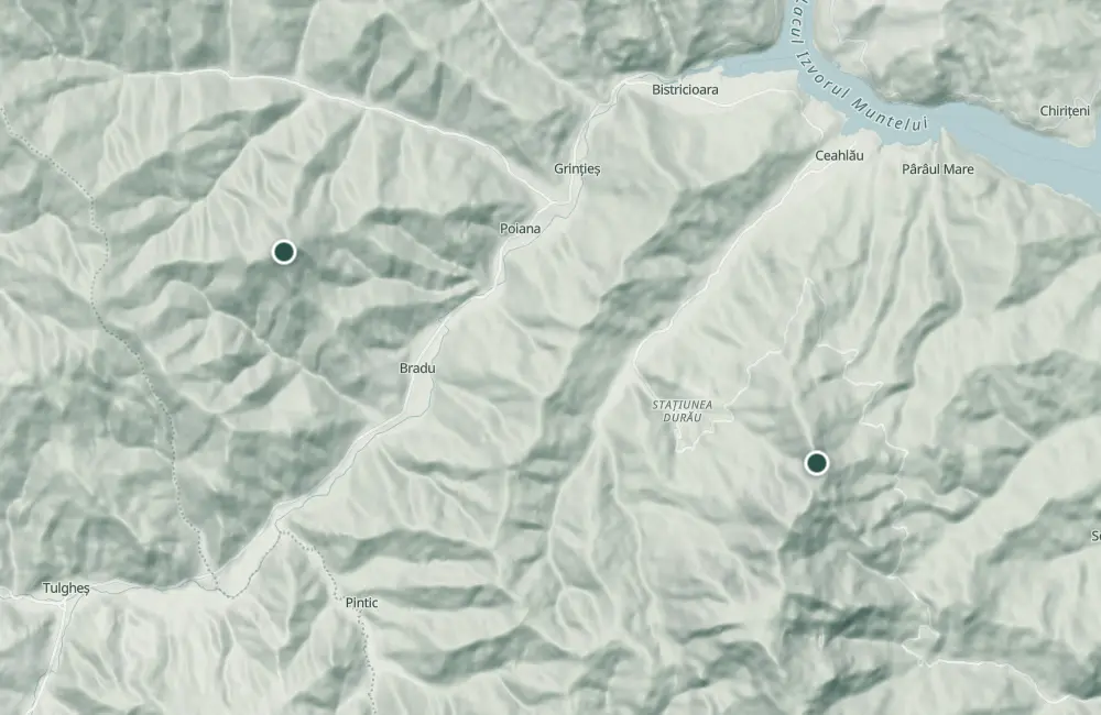
Map of the route
The places the route passes through, on the map.
 © OpenStreetMap · OpenFreeMap · EU-DEM / Copernicus
- 1Stops along the way
The stages
Stage 1
Gura Pintecului
A border guard post existed here.
Stage 2
The caves on the slope
Villagers sheltered in these caves during World War II.
Stage 3
Piatra Mociului
Viewpoint with rocks and grottoes; in the area there is a shelter of the tourist sheepfold type.
Stage 4
Drumul rușilor
Stage 5
Pietrele Roșii
Fighting took place here in both world wars.
Stage 6
Bâtca Cocoșului
Stage 7
Preluca Ursului
Here there is a garden of mountain crocuses and the view opens toward Stânișoara and Grințieșul mountain. You can camp here after the first day.
Stage 8
Pârâul Cozii
Stage 9
Poiana lui Vasile cel Mare
The Haiduc Festival is held here.
Stage 10
La Morminte
Place known as the Russians' cemetery, where a service is held annually for those who died in the war.
Stage 11
Peak Grințieșului
From the 1,758 m peak, Ceahlăul and Călimanii can be seen. You can camp here on the second night.
Before you set out
The road on the ridge, through spruce forests, is described as long and of medium difficulty.
- Emergencies
- 112
- Salvamont Neamț
- 0725 826 668
Nearby

Other trails
Ceahlău – Trail 4: Durău resort – Fântânele Chalet – Dochia Chalet
7.5 km3 h – 3 h 30 min↑ 1015 m
Jgheabul cu Hotaru (Cabana Izvorul Muntelui – Cabana Dochia) RO
7.5 km3 h 30 min–4 h↑ 972 m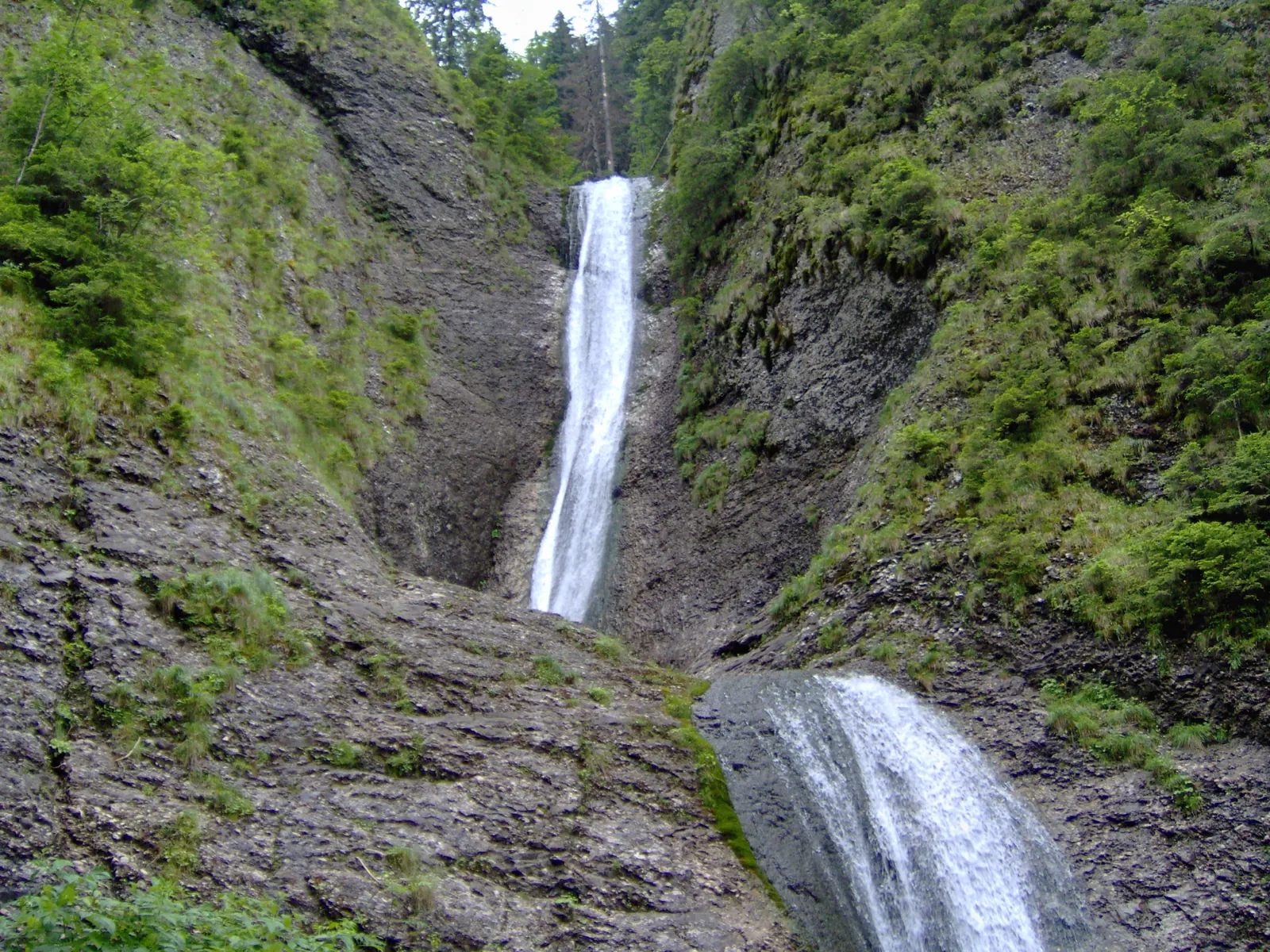
Trail in Ceahlău National Park – Duruitoarea Waterfall
7.5 km4 h 30 min – 5 h↑ 1067 m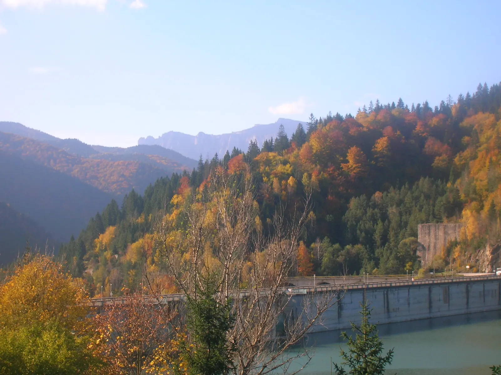
Ceahlău: Izvorul Muntelui - Dochia loop (up via Lutu Roșu, down via Jgheabul cu Hotar)
13.5 km↑ 983 m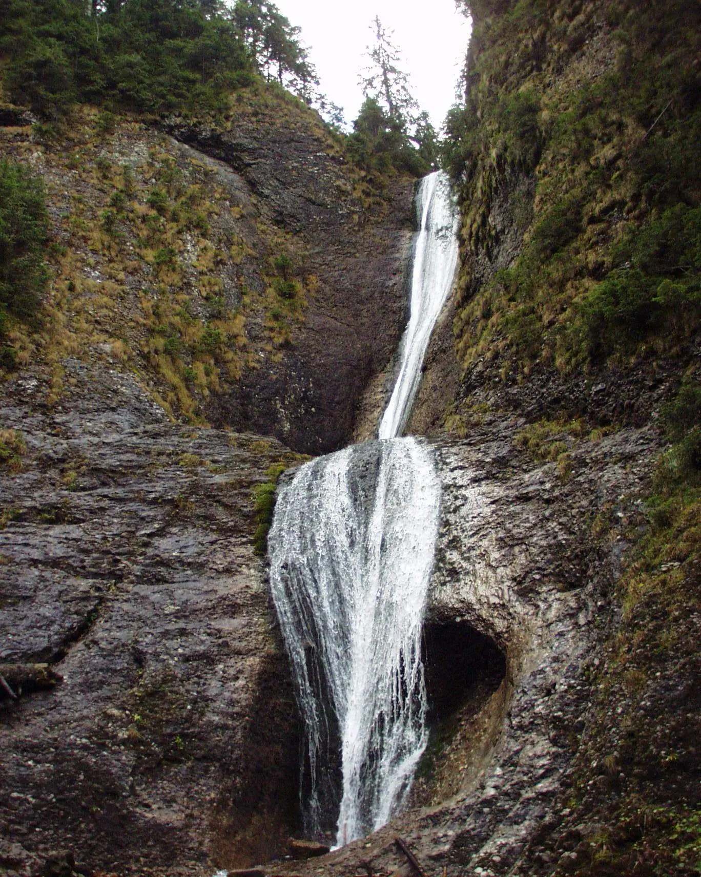
Ceahlău: Durău - Duruitoarea Waterfall (out and back, red cross)
3.6 km↑ 502 m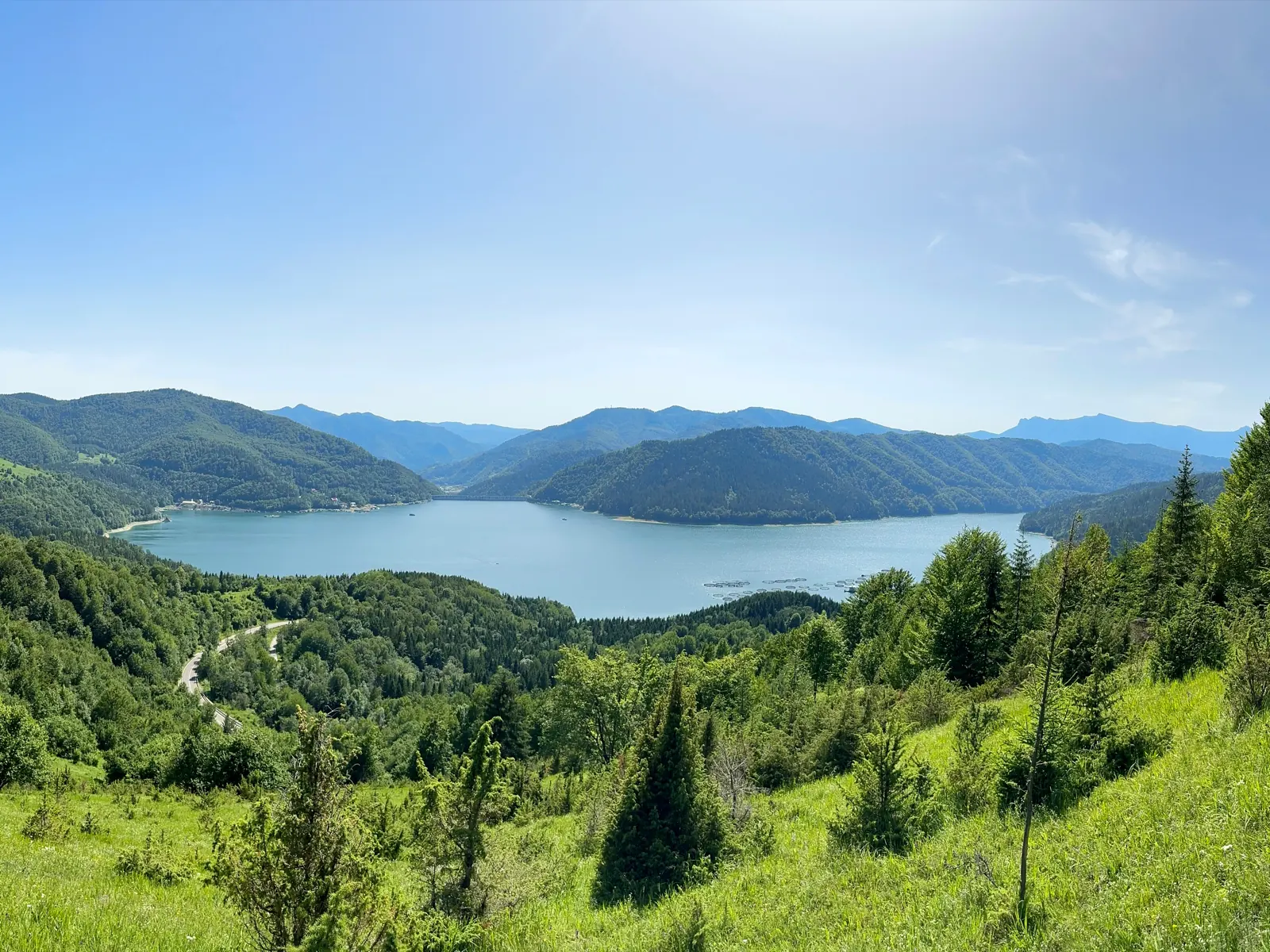
Traseu Cabana Izvorul Muntelui – Curmătura Lutu Roșu – Cabana Dochia RO
6 km↑ 957 m
Photo credits4
- Photo: Wikimedia Commons · Public domain (Duruitoarea Waterfall)
- Photo: Wikimedia Commons · CC BY-SA 3.0 (Durău Monastery)
- Photo: Wikimedia Commons · Public domain (Ceahlău National Park)
- Photo: Wikimedia Commons · CC BY-SA 3.0 (Izvorul Muntelui Lake (Lake Bicaz))


