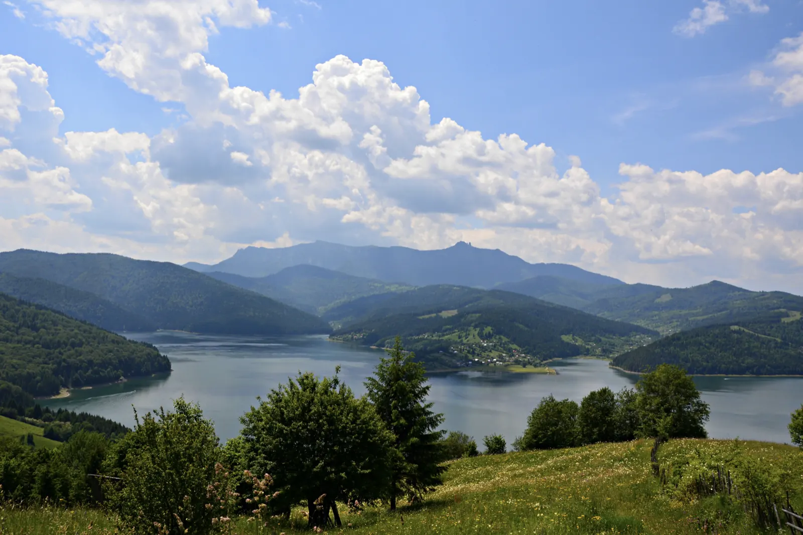
Traseu Cabana Izvorul Muntelui – Curmătura Lutu Roșu – Cabana Dochia
- Length
- 6 km
- Difficulty
- Ascent
- 957 m
- Descent
- 14 m
- Altitude
- 809–1753 m
- Waymark
- blue stripe
- Season
- Practicable all year round
- Start
- Cabana Izvorul Muntelui
- Finish
- Cabana Dochia
The route climbs the eastern slope of Ceahlău, from Cabana Izvorul Muntelui through Curmătura Lutu Roșu to Cabana Dochia. It is 6 km and takes approximately 3 hours and 30 minutes.
From the cabin, the trail crosses the forest to the place called La Arsuri, then climbs Culmea Răchițiș. It passes by the Polița cu Crini reserve, Piatra cu Apă, and the Detunatele rocks, before ascending through juniper scrub toward the plateau.
Map of the route
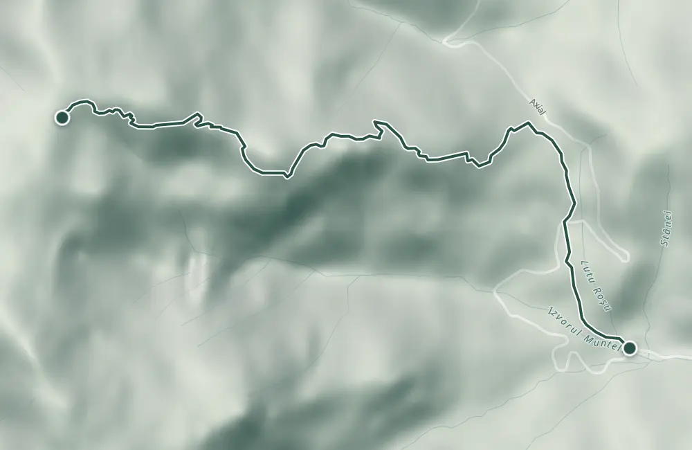 © OpenStreetMap · OpenFreeMap · EU-DEM / Copernicus
- The route
- Start
- Finish
- 1Stops along the way
↑ 957 m↓ 14 m809–1753 m

The stages
Stage 1
Chalet Izvorul Muntelui
Stage 2
Curmătura Lutu Roșu (La Arsuri)
From here, the trail climbs up Culmea Răchițiș.
Stage 3
Polița cu Crini
The botanical reserve is marked by a sign. Here grows the larch, also called zadă.

Stage 5
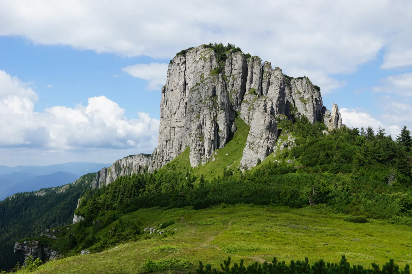
Detunatele
The trail passes beneath the Detunatele cliffs.
Stage 6
Chalet Dochia
From the plateau, Vârful Toaca, Panaghia, and Valea Izvorului Alb are visible.
Getting there
Access: Cabana Izvorul Muntelui is at the park entrance, on county road DJ 155F, approximately 10 km from Bicaz.
Parking: Parking spaces are few on summer weekends; some visitors leave their car at the intersection with the forest road, about 1.5 km down the road.
Before you set out
Before a winter ascent, consult Salvamont.
Medium difficulty level.
- Emergencies
- 112
- Salvamont Neamț
- 0725 826 668
Stay near the start
Nearby
Other trails
Ceahlău – Trail 4: Durău resort – Fântânele Chalet – Dochia Chalet
7.5 km3 h – 3 h 30 min↑ 1015 m
Jgheabul cu Hotaru (Cabana Izvorul Muntelui – Cabana Dochia) RO
7.5 km3 h 30 min–4 h↑ 972 m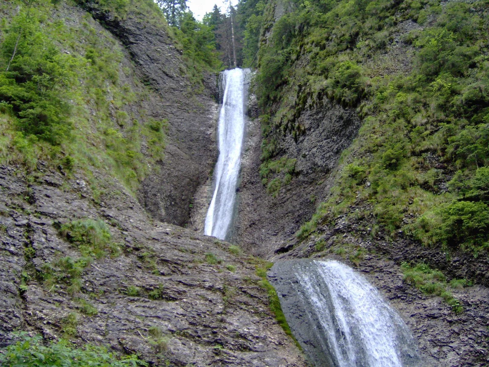
Trail in Ceahlău National Park – Duruitoarea Waterfall
7.5 km4 h 30 min – 5 h↑ 1067 m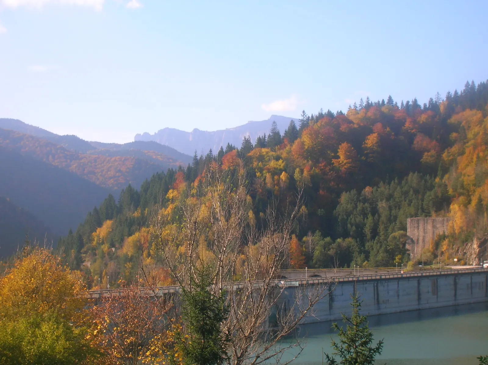
Ceahlău: Izvorul Muntelui - Dochia loop (up via Lutu Roșu, down via Jgheabul cu Hotar)
13.5 km↑ 983 m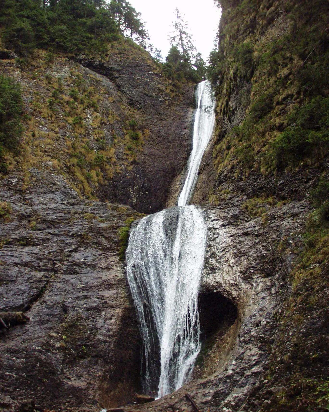
Ceahlău: Durău - Duruitoarea Waterfall (out and back, red cross)
3.6 km↑ 502 m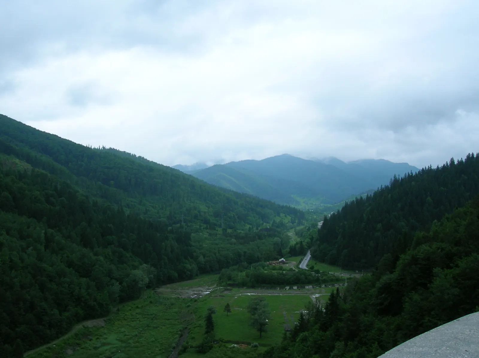
Traseu Hiking: Izvorul Muntelui – Cabana Dochia (Masivul Ceahlău) RO
Photo credits4
- Photo: Wikimedia Commons · CC BY-SA 3.0 (Izvorul Muntelui Lake (Lake Bicaz))
- Photo: Wikimedia Commons · Public domain (Ceahlău National Park)
- Photo: Wikimedia Commons · Public domain (Duruitoarea Waterfall)
- Photo: Wikimedia Commons · CC BY-SA 3.0 (Durău Monastery)


