
Trail in Ceahlău National Park – Duruitoarea Waterfall
- Length
- 7.5 km
- Time
- 4 h 30 min – 5 h
- Difficulty
- Ascent
- 1067 m
- Descent
- 142 m
- Altitude
- 835–1783 m
- Waymark
- Red cross on a white background
- Start
- Stațiunea Durău
- Finish
- Cabana Dochia
The trail marked with a red cross starts from the Durău resort, passes by the Duruitoarea Waterfall, and reaches Cabana Dochia. It is 7.5 km long and takes approximately 4 hours and 30 minutes – 5 hours to complete.
Up to the waterfall, it takes about 2 hours and 30 minutes of walking. In winter, the trail is accessible only up to the Duruitoarea Waterfall.
From in front of the Durău Monastery, the asphalt road leads to the Salvamont point. The path crosses the road between Izvorul Muntelui and Durău, then climbs through the forest towards Poiana lui Steofan and Poiana Vesuri. Near the waterfall, it follows the Rupturi stream.
At the Duruitoarea Waterfall, the water falls in two steps: 25 m into a hollow in the rock and another 5 m over the stone. Above the waterfall, the path climbs steeply on a section equipped with wooden steps and railings.
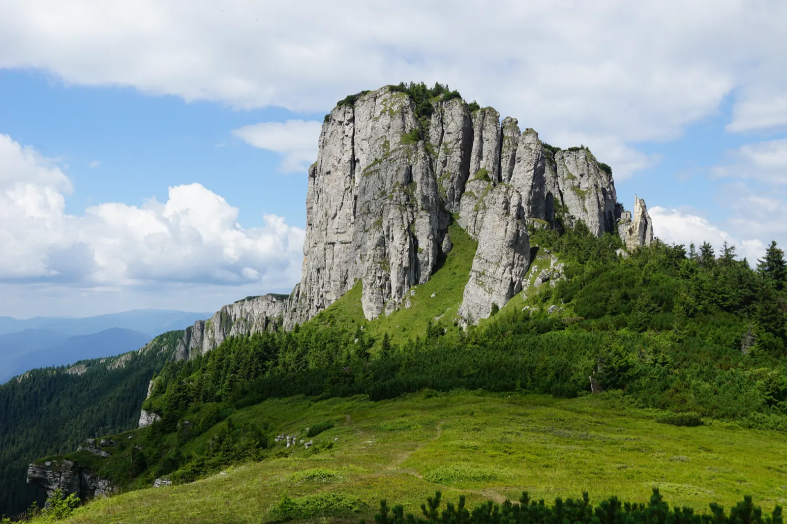
Higher up, the trail passes through the Polița Scaiuș and Polița Arinișului areas, then by Piciorul Șchiop and Piatra Lăcrămată before Cabana Dochia. From Polița Scaiuș, the valley of Pârâului Schit, Piciorul Crestăturii, Toaca, and Piatra Ciobanului are visible.
In winter, the trail is accessible only up to the Duruitoarea Waterfall.
Map of the route
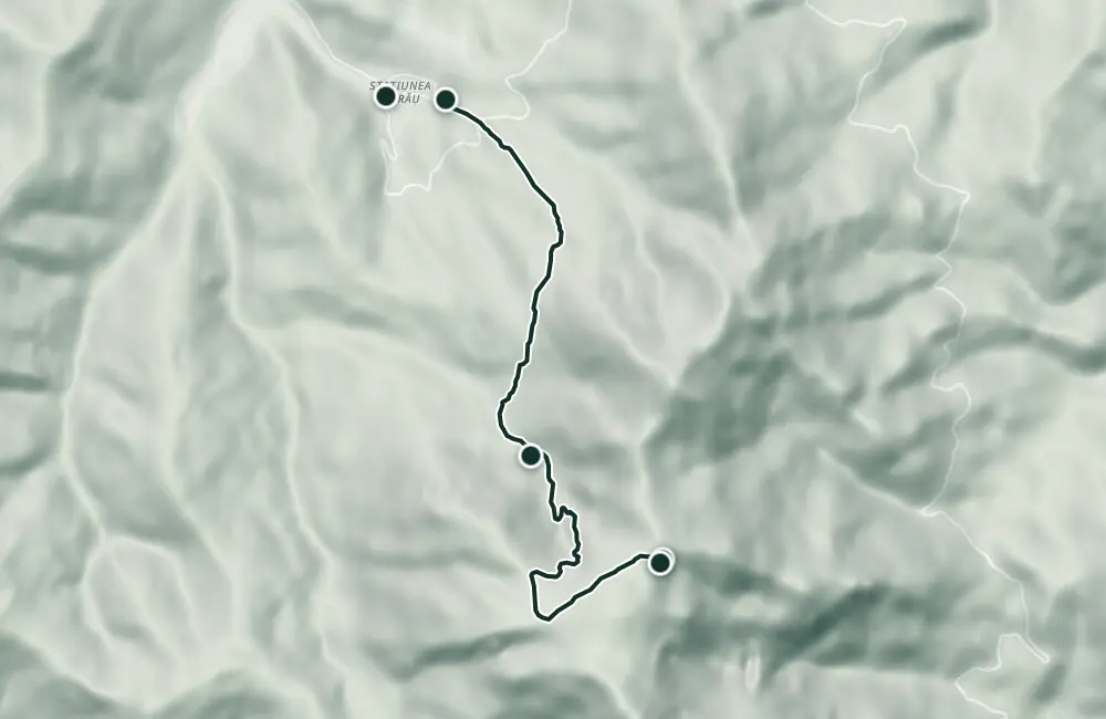 © OpenStreetMap · OpenFreeMap · EU-DEM / Copernicus
- The route
- Start
- Finish
- 1Stops along the way
↑ 1067 m↓ 142 m835–1783 m
The stages
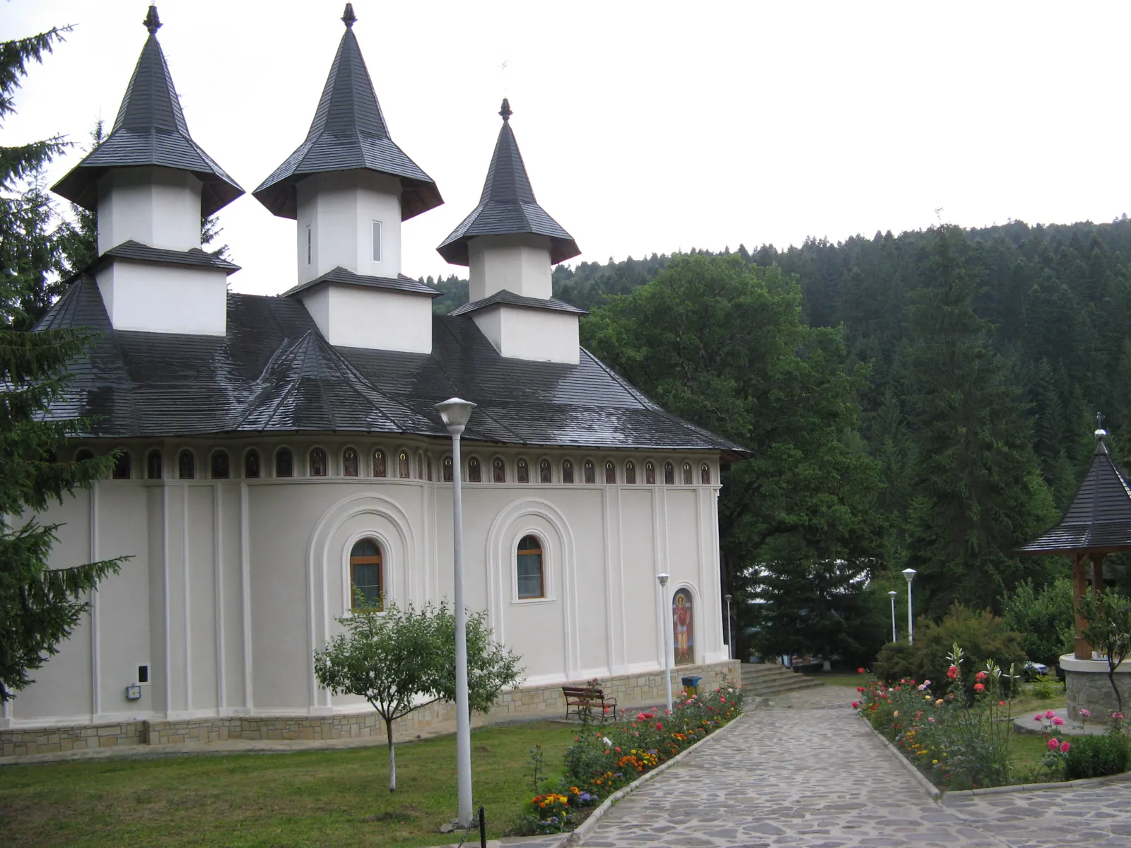
Stage 1 · km 0.1
Stațiunea Durău
The starting point of the trail; from in front of Durău Monastery, walk on the asphalt road toward the Salvamont point.
Stage 2
Punctul Salvamont Durău
Here you pay the park entry fee and follow the trail marker.
Stage 3
Poiana lui Steofan
The first clearing on the ascent, reached after about one hour of walking.
Stage 4
Poiana Vesuri (Viezuri)
At the exit from the clearing, you meet the path coming from Cabana Fântânele.
Stage 5 · km 3.5
Waterfall Duruitoarea
The waterfall has two steps, of 25 m and 5 m; near the waterfall there are rest benches. In winter, the trail stops here.
Stage 6
Polița Scaiuș
From here you can see the valley of Pârâul Schit, Piciorul Crestăturii, Toaca, and Piatra Ciobanului.
Stage 7
Polița Ariniș
Here there are three springs and a view toward Rarău, Piatra Ciobanului, and Toaca.

Stage 8 · km 6.7
Piciorul Șchiop
The path reaches the juniper area, marked with poles.
Stage 9
Piatra Lăcrămată
Stage 10
Chalet Dochia
The final point of the ascent.
Getting there
Access: From in front of the Durău Monastery, follow the asphalt road to the Salvamont point. The path crosses the Izvorul Muntelui–Durău road.
Fees and tickets: Entry fee for Ceahlău National Park: 2 lei/person (2009).
Before you set out
The section above the waterfall is extremely dangerous and has wooden steps and railings. Before the waterfall, there is a steep and slippery climb.
The trail is described as quite demanding; the climb above the waterfall is steep.
- Emergencies
- 112
- Salvamont Neamț
- 0725 826 668
Stay near the start
Nearby
Other trails
Ceahlău – Trail 4: Durău resort – Fântânele Chalet – Dochia Chalet
7.5 km3 h – 3 h 30 min↑ 1015 m
Jgheabul cu Hotaru (Cabana Izvorul Muntelui – Cabana Dochia) RO
7.5 km3 h 30 min–4 h↑ 972 m
Ceahlău: Izvorul Muntelui - Dochia loop (up via Lutu Roșu, down via Jgheabul cu Hotar)
13.5 km↑ 983 m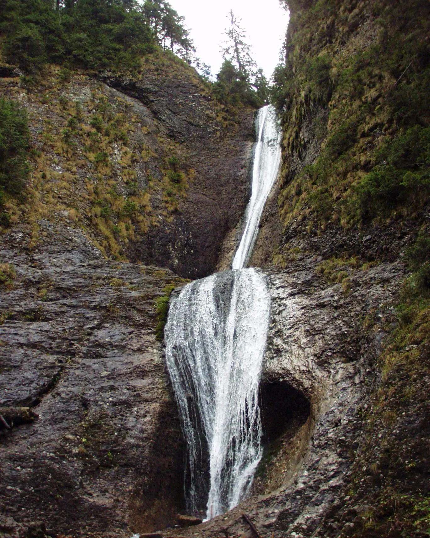
Ceahlău: Durău - Duruitoarea Waterfall (out and back, red cross)
3.6 km↑ 502 m
Traseu Cabana Izvorul Muntelui – Curmătura Lutu Roșu – Cabana Dochia RO
6 km↑ 957 m
Traseu Hiking: Izvorul Muntelui – Cabana Dochia (Masivul Ceahlău) RO
Photo credits5
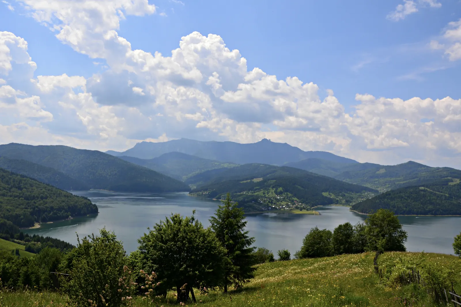
- Photo: Wikimedia Commons · Public domain (Duruitoarea Waterfall)
- Photo: Wikimedia Commons · CC BY-SA 3.0 (Durău Monastery)
- Photo: Wikimedia Commons · Public domain (Ceahlău National Park)
- Photo: Wikimedia Commons · CC BY-SA 3.0 (Izvorul Muntelui Lake (Lake Bicaz))
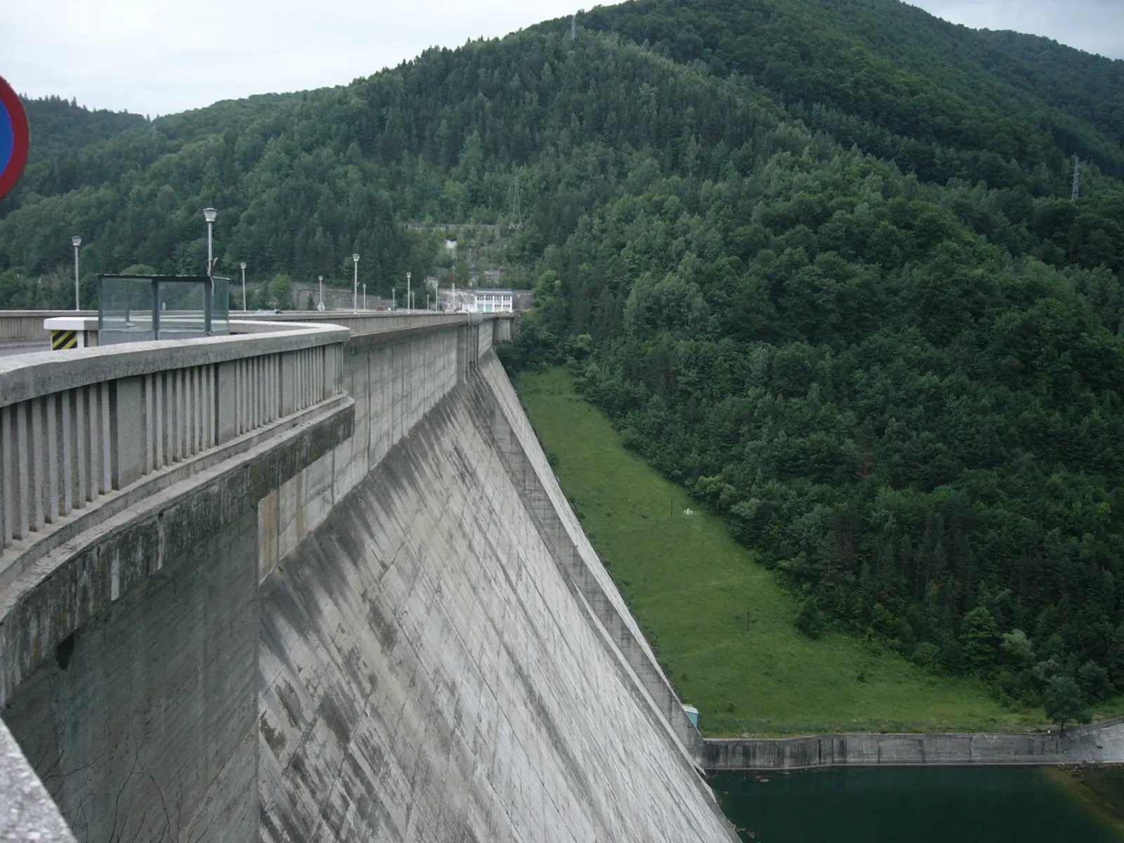
- Photo: Wikimedia Commons · CC BY 3.0 (Izvorul Muntelui Dam (Bicaz Dam))


