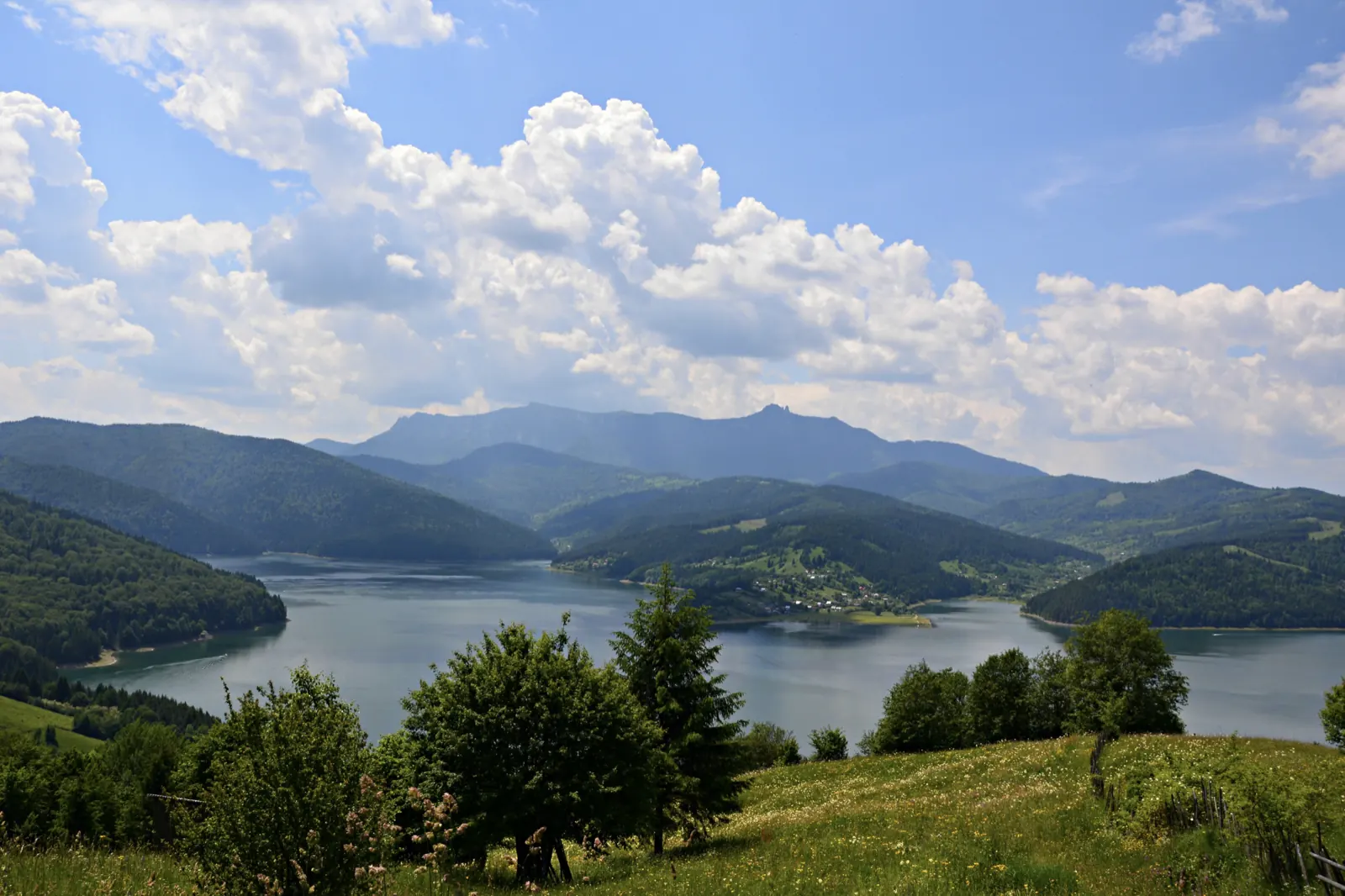
Traseu Hiking: Izvorul Muntelui – Cabana Dochia (Masivul Ceahlău)
- Difficulty
- Waymark
- blue stripe
- Season
- Both sections are practicable all year round
- Start
- Cabana Izvorul Muntelui
- Finish
- Cabana Izvorul Muntelui
From Cabana Izvorul Muntelui, the circuit climbs through Curmătura Lutu Roșu to Cabana Dochia and returns via Jgheabul cu Hotar and Stânca Dochiei. The ascent is approximately 6 km, and the descent approximately 7.5 km; both sections have medium difficulty.
The trail climbs from beside the cabin through the forest towards La Arsuri and Culmea Răchitiș. It passes by Rezervația Polița cu Crini, where a panel presents the larch, then by Piatra cu Apă and Detunatele. Through juniper scrub, it reaches the plateau of Cabana Dochia. Cabana Izvorul Muntelui is at 797 m, and Curmătura Lutu Roșu at 1020 m.
On the descent, the trail bypasses Vârful Lespezi on the left, reaches the plateau of Detunatele, and passes by the rock Vulturul lui Traian. It continues through the clearing La Izvoare and through the forest to Stânca Dochiei, then follows the stream bed to the concrete bridge over the Izvoru Alb stream. From there, it overlaps with the ascent route back to Cabana Izvorul Muntelui.
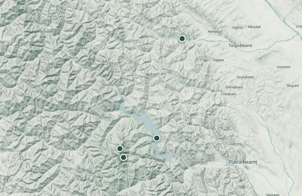
Map of the route
The places the route passes through, on the map.
 © OpenStreetMap · OpenFreeMap · EU-DEM / Copernicus
- 1Stops along the way
The stages
Stage 1
Chalet Izvorul Muntelui
The starting and return point. The trail starts from beside the cabin and enters the forest.
Stage 2
Curmătura Lutu Roșu
Stage 3
Chalet Dochia
The turning point of the circuit, on the plateau. From here, a panorama opens over the land.
Stage 4
Jgheabul cu Hotar
Stage 6
Chalet Izvorul Muntelui
The route returns to the cabin after the concrete bridge over the Izvoru Alb stream.
Getting there
Access: The starting point is Cabana Izvorul Muntelui.
Before you set out
Both sections have a medium degree of difficulty.
- Emergencies
- 112
- Salvamont Neamț
- 0725 826 668
Nearby


Other trails
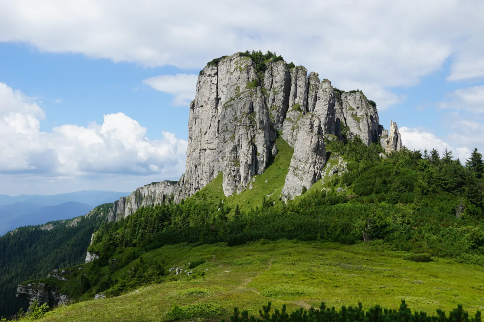
Ceahlău – Trail 4: Durău resort – Fântânele Chalet – Dochia Chalet
7.5 km3 h – 3 h 30 min↑ 1015 m
Jgheabul cu Hotaru (Cabana Izvorul Muntelui – Cabana Dochia) RO
7.5 km3 h 30 min–4 h↑ 972 m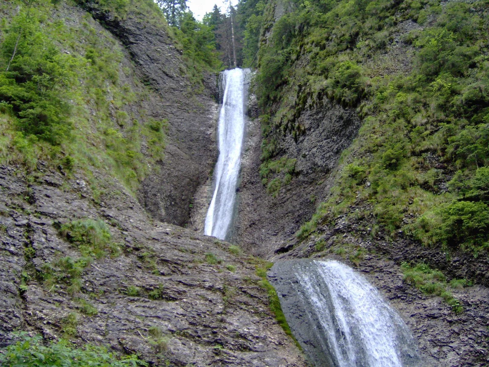
Trail in Ceahlău National Park – Duruitoarea Waterfall
7.5 km4 h 30 min – 5 h↑ 1067 m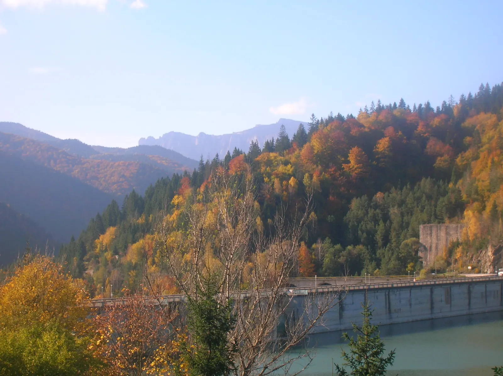
Ceahlău: Izvorul Muntelui - Dochia loop (up via Lutu Roșu, down via Jgheabul cu Hotar)
13.5 km↑ 983 m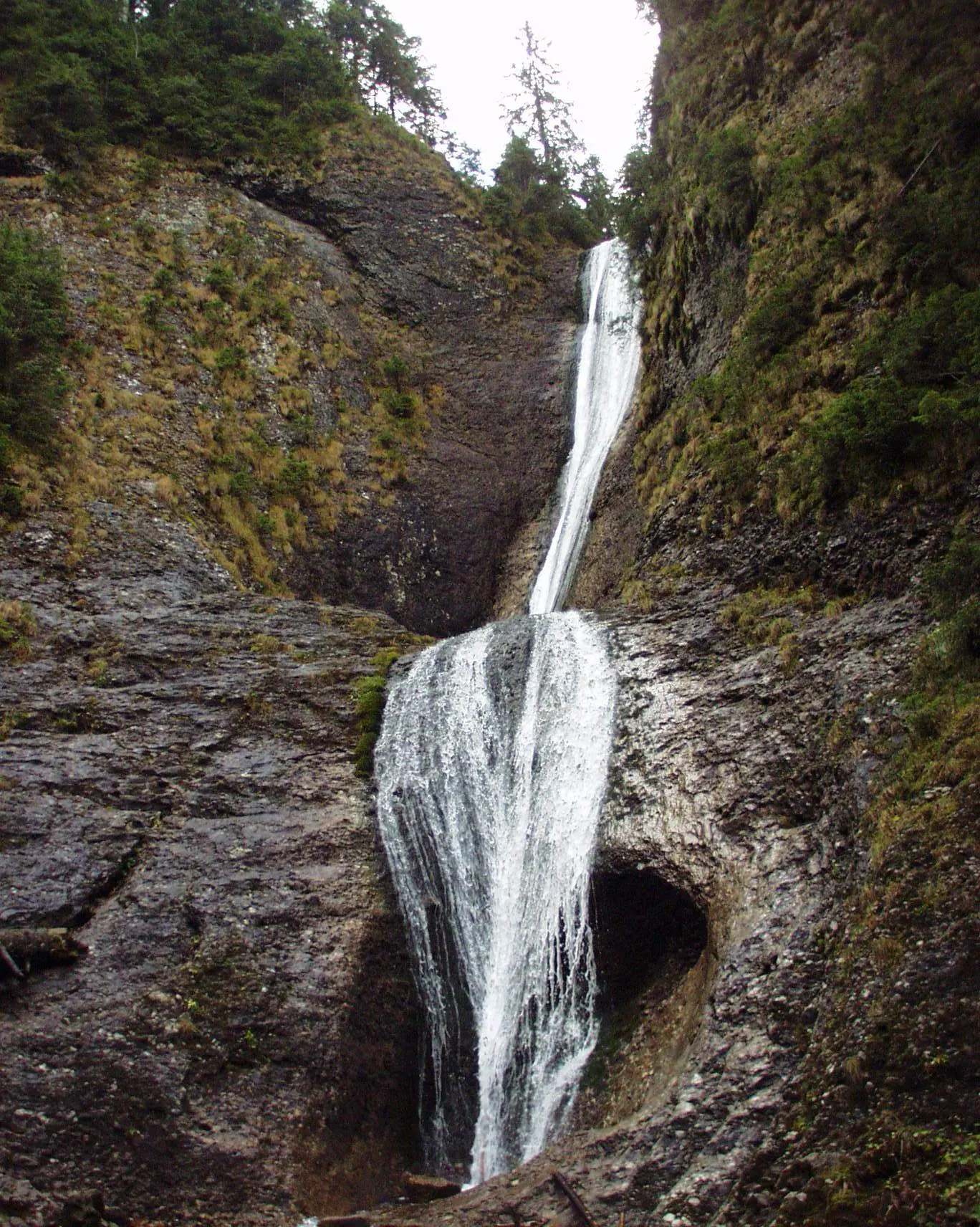
Ceahlău: Durău - Duruitoarea Waterfall (out and back, red cross)
3.6 km↑ 502 m
Traseu Cabana Izvorul Muntelui – Curmătura Lutu Roșu – Cabana Dochia RO
6 km↑ 957 m
Photo credits5
- Photo: Wikimedia Commons · CC BY-SA 3.0 (Izvorul Muntelui Lake)
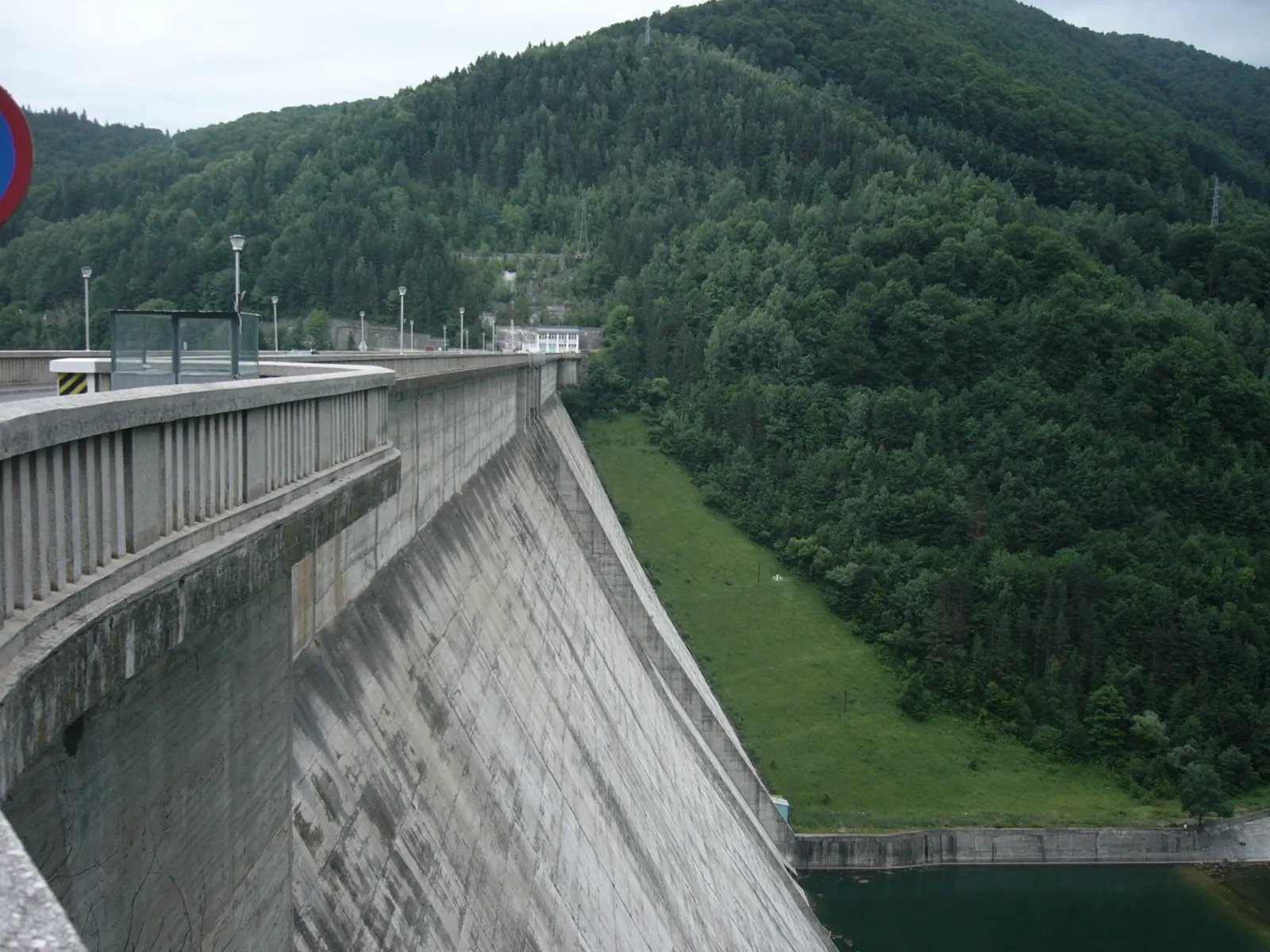
- Photo: Wikimedia Commons · CC BY 3.0 (Izvorul Muntelui Dam (Bicaz Dam))
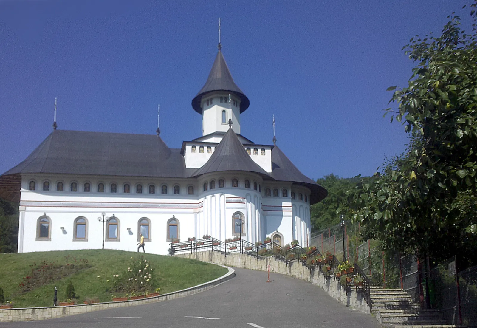
- Photo: Wikimedia Commons · Public domain (Pângărați Monastery)
- Photo: Wikimedia Commons · Public domain (Duruitoarea Waterfall)
- Photo: Wikimedia Commons · Public domain (Ceahlău National Park)


