
Ceahlău: Durău - Duruitoarea Waterfall (out and back, red cross)
- Length
- 3.6 km
- Difficulty
- Ascent
- 502 m
- Descent
- 81 m
- Altitude
- 836–1259 m
- Waymark
- Red cross on white background
- Start
- Stațiunea Durău
- Finish
- Stațiunea Durău
The hike marked with a red cross starts from the Durău resort, passes through Poiana Vesuri, and reaches Cascada Duruitoarea, then returns to Durău on the same trail.
The distance indicated to the waterfall is 3.6 km, and the ascent is estimated at approximately 2 h 30 min. The duration of the entire round trip is not specified.
The Durău–Cascada Duruitoarea section is the only part of route 5 presented as practicable in winter.
Map of the route
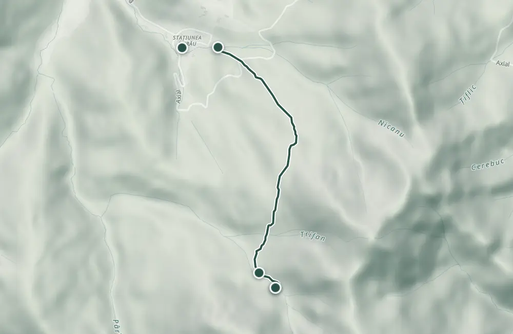 © OpenStreetMap · OpenFreeMap · EU-DEM / Copernicus
- The route
- Start
- Finish
- 1Stops along the way
↑ 502 m↓ 81 m836–1259 m

The stages
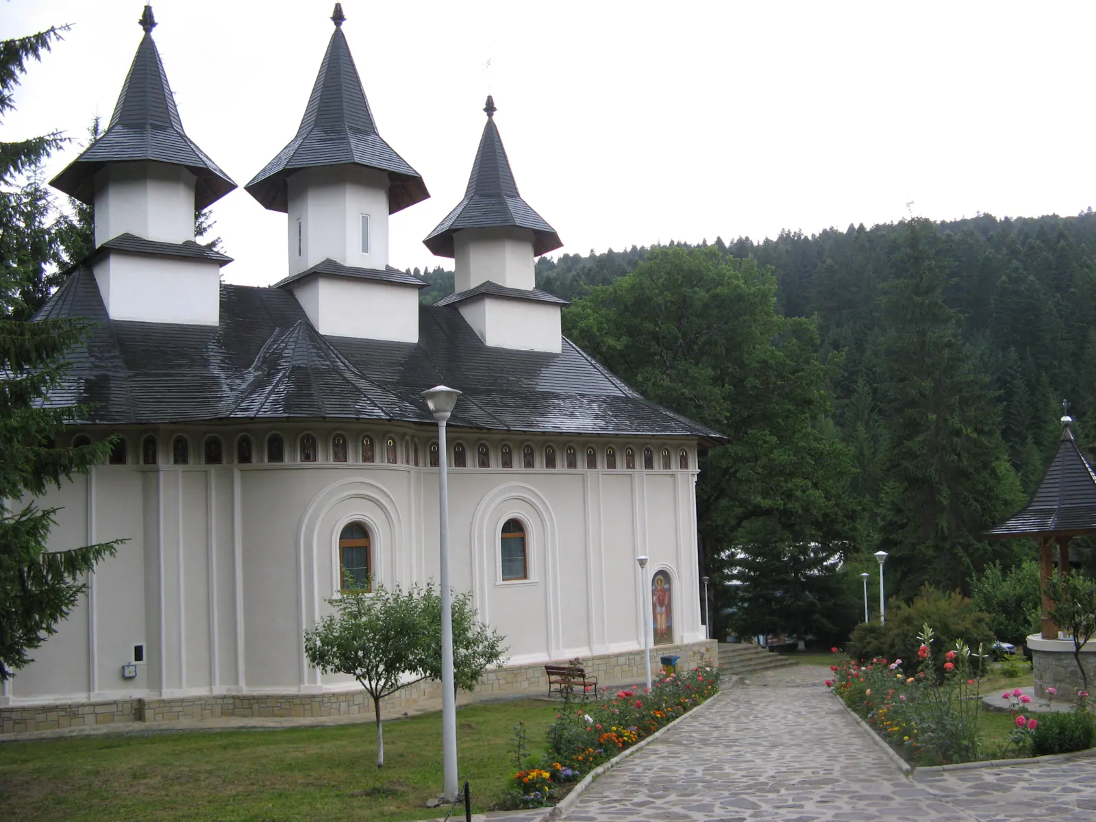
Stage 1
Stațiunea Durău
From in front of the Durău Monastery, walk on asphalt to the Salvamont point, where the hike begins.
Stage 2
Poiana Vesuri (Viezuri)
Stage 4
Stațiunea Durău
Getting there
Access: From in front of the Durău Monastery, follow the asphalt road to the Salvamont point. The Durău resort is connected to Izvorul Muntelui via DJ155F.
Parking: Parking spaces in Durău are scarce on summer weekends.
Fees and tickets: The entry fee for Ceahlău National Park was indicated at 2 lei/person, payable at the Salvamont point in Durău; the value dates from 2009 and must be reconfirmed.
Before you set out
In winter, the trail stops at the waterfall; continuing beyond the waterfall is described as extremely dangerous. Stay on marked trails.
- Emergencies
- 112
- Salvamont Neamț
- 0725 826 668
Stay near the start
Nearby
Other trails
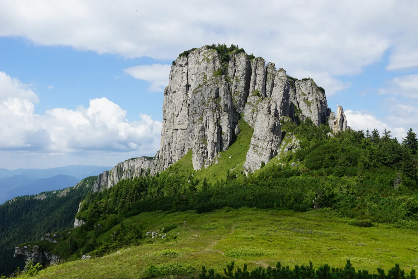
Ceahlău – Trail 4: Durău resort – Fântânele Chalet – Dochia Chalet
7.5 km3 h – 3 h 30 min↑ 1015 m
Jgheabul cu Hotaru (Cabana Izvorul Muntelui – Cabana Dochia) RO
7.5 km3 h 30 min–4 h↑ 972 m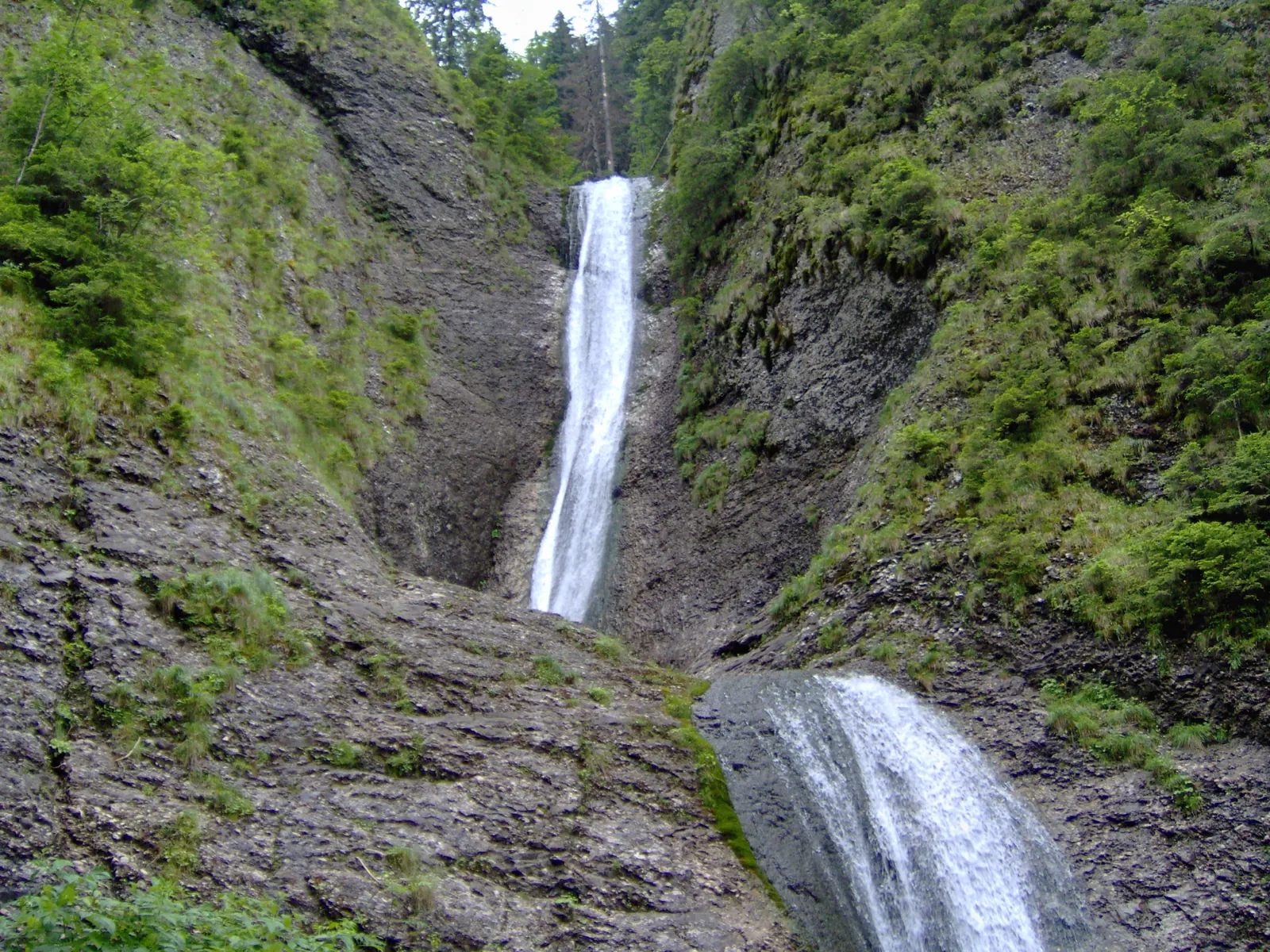
Trail in Ceahlău National Park – Duruitoarea Waterfall
7.5 km4 h 30 min – 5 h↑ 1067 m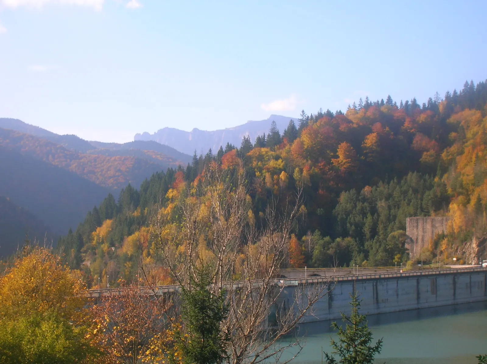
Ceahlău: Izvorul Muntelui - Dochia loop (up via Lutu Roșu, down via Jgheabul cu Hotar)
13.5 km↑ 983 m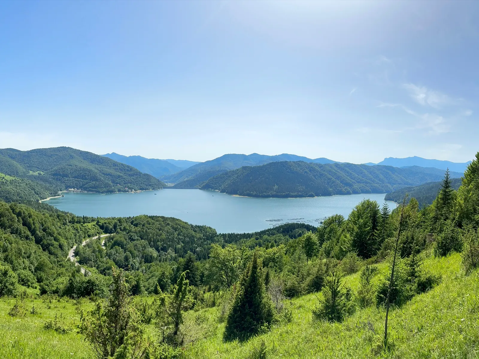
Traseu Cabana Izvorul Muntelui – Curmătura Lutu Roșu – Cabana Dochia RO
6 km↑ 957 m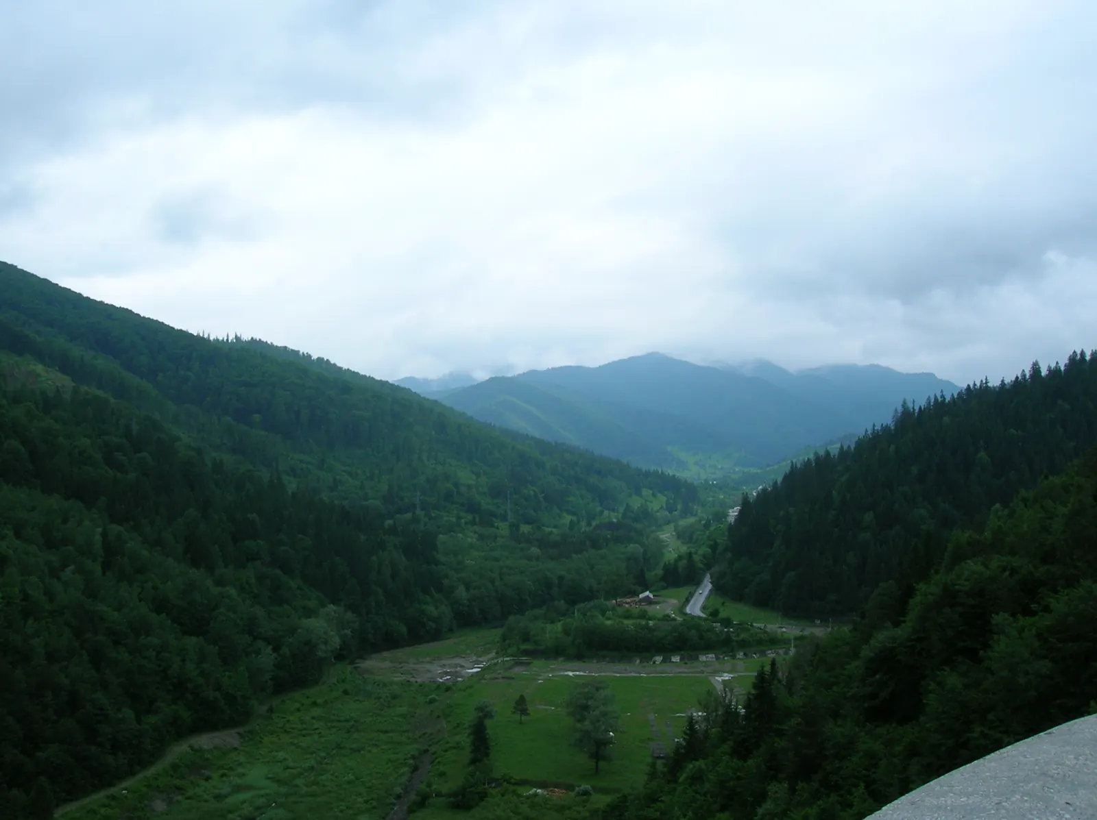
Traseu Hiking: Izvorul Muntelui – Cabana Dochia (Masivul Ceahlău) RO
Photo credits5
- Photo: Wikimedia Commons · Public domain (Duruitoarea Waterfall)
- Photo: Wikimedia Commons · CC BY-SA 3.0 (Durău Monastery)
- Photo: Wikimedia Commons · Public domain (Ceahlău National Park)
- Photo: Wikimedia Commons · CC BY-SA 3.0 (Izvorul Muntelui Lake (Lake Bicaz))
- Photo: Wikimedia Commons · CC BY 3.0 (Izvorul Muntelui Dam (Bicaz Dam))


