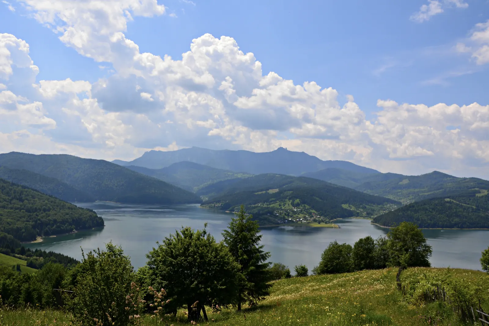
Jgheabul cu Hotaru (Cabana Izvorul Muntelui – Cabana Dochia)
- Length
- 7.5 km
- Time
- 3 h 30 min–4 h
- Difficulty
- Ascent
- 972 m
- Descent
- 21 m
- Altitude
- 809–1764 m
- Waymark
- blue dot
- Season
- Not recommended in winter
- Start
- Cabana Izvorul Muntelui
- Finish
- Cabana Dochia
Jgheabul cu Hotaru is a hiking trail on the eastern slope of Ceahlău, from Cabana Izvorul Muntelui to Cabana Dochia, via Stânca Dochiei. Trail 3 is 7.5 km and takes 3 h 30 min–4 h.
From the cabin to the county road DJ 155F, follow the blue dot, then the blue triangle.
After the intersection with the axial road, the trail follows about 1.5 km of the asphalt road, then turns right. On Valea Izvorul Alb, the path passes among rocks and towers; in a narrow spot of the valley, the crossing is made through water, over slippery boulders.
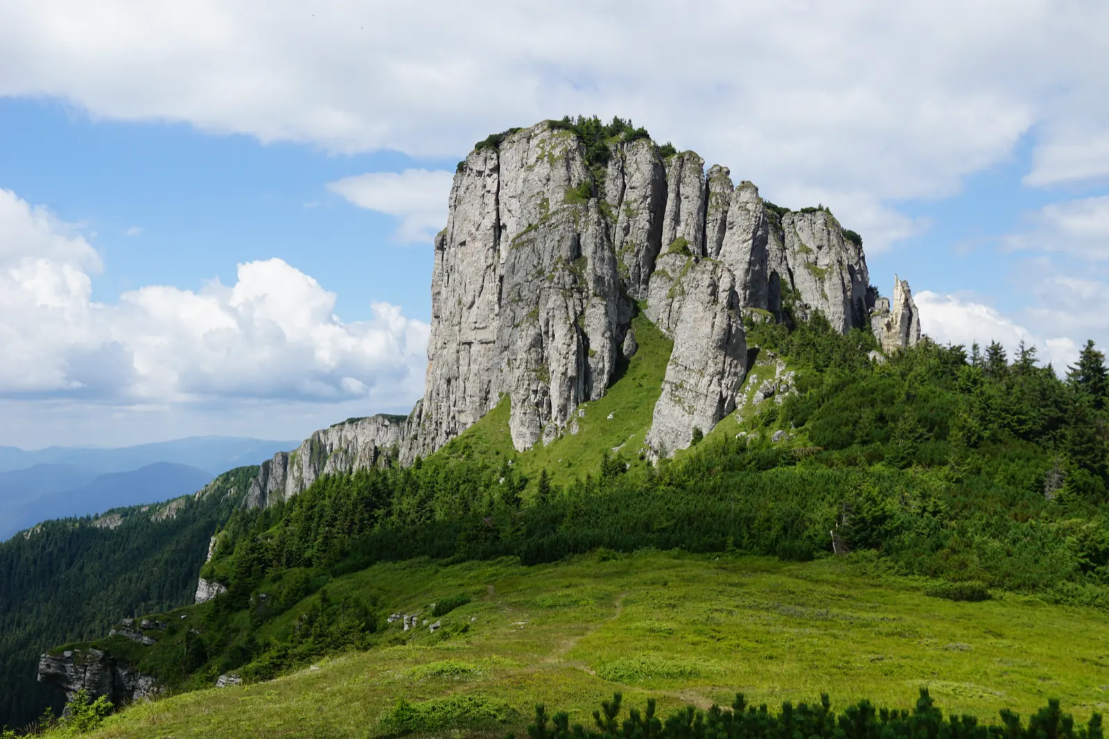
In a clearing lies Stânca Dochiei, beneath which cold water springs. After Poiana la Izvoare, an ascent follows through forest and raspberry bushes, under the stone walls and over Jgheabul Năruit. The path reaches Polițele cu Hotaru, then passes among junipers and blueberry patches toward the plateau, at the base of Vârful Toaca.
Map of the route
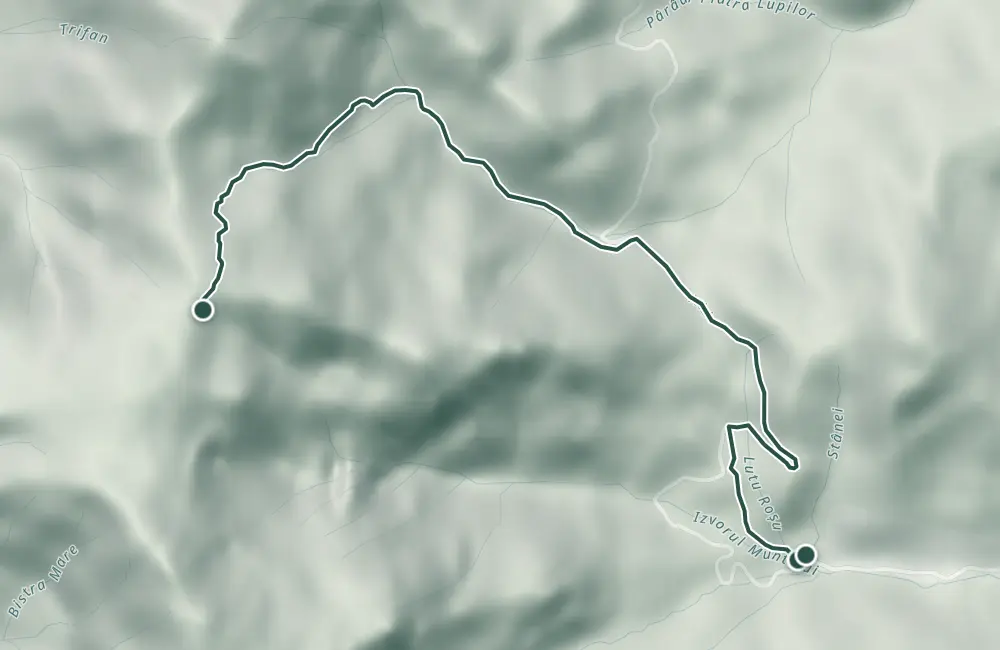 © OpenStreetMap · OpenFreeMap · EU-DEM / Copernicus
- The route
- Start
- Finish
- 1Stops along the way
↑ 972 m↓ 21 m809–1764 m
The stages
Stage 1
Chalet Izvorul Muntelui
The starting point of the trail, at 797 m altitude.
Stage 2
Intersection with the axial road DJ 155F
Here the blue dot marking ends; the route follows the asphalted road, marked with orientation posts and arrows.
Stage 3
Valea Izvorul Alb
The stream flows among rocks and towers. At the narrowing of the valley, one crosses through water over slippery boulders.

Stage 5
Poiana la Izvoare
Stage 6
Jgheabul Năruit
The path passes under stone walls and over the trough that starts from below Toaca Peak.
Stage 7
Polițele cu Hotaru
The shelves are supported by a steep wall; from here the path climbs among junipers and blueberry bushes toward the plateau.

Stage 8
Chalet Dochia
The final point of the route, at 1,750 m altitude.
Getting there
Access: Start at Cabana Izvorul Muntelui, on the eastern slope of Ceahlău; the trail meets the county road DJ 155F.
Parking: Tourists arriving by car often park at the intersection where the trail leaves the asphalt road.
Before you set out
On Valea Izvorul Alb, the crossing is made through water over wet and slippery boulders. In winter, deep snow among junipers and fog make orientation difficult.
Medium difficulty level.
- Emergencies
- 112
- Salvamont Neamț
- 0725 826 668
Stay near the start
Nearby
Other trails
Ceahlău – Trail 4: Durău resort – Fântânele Chalet – Dochia Chalet
7.5 km3 h – 3 h 30 min↑ 1015 m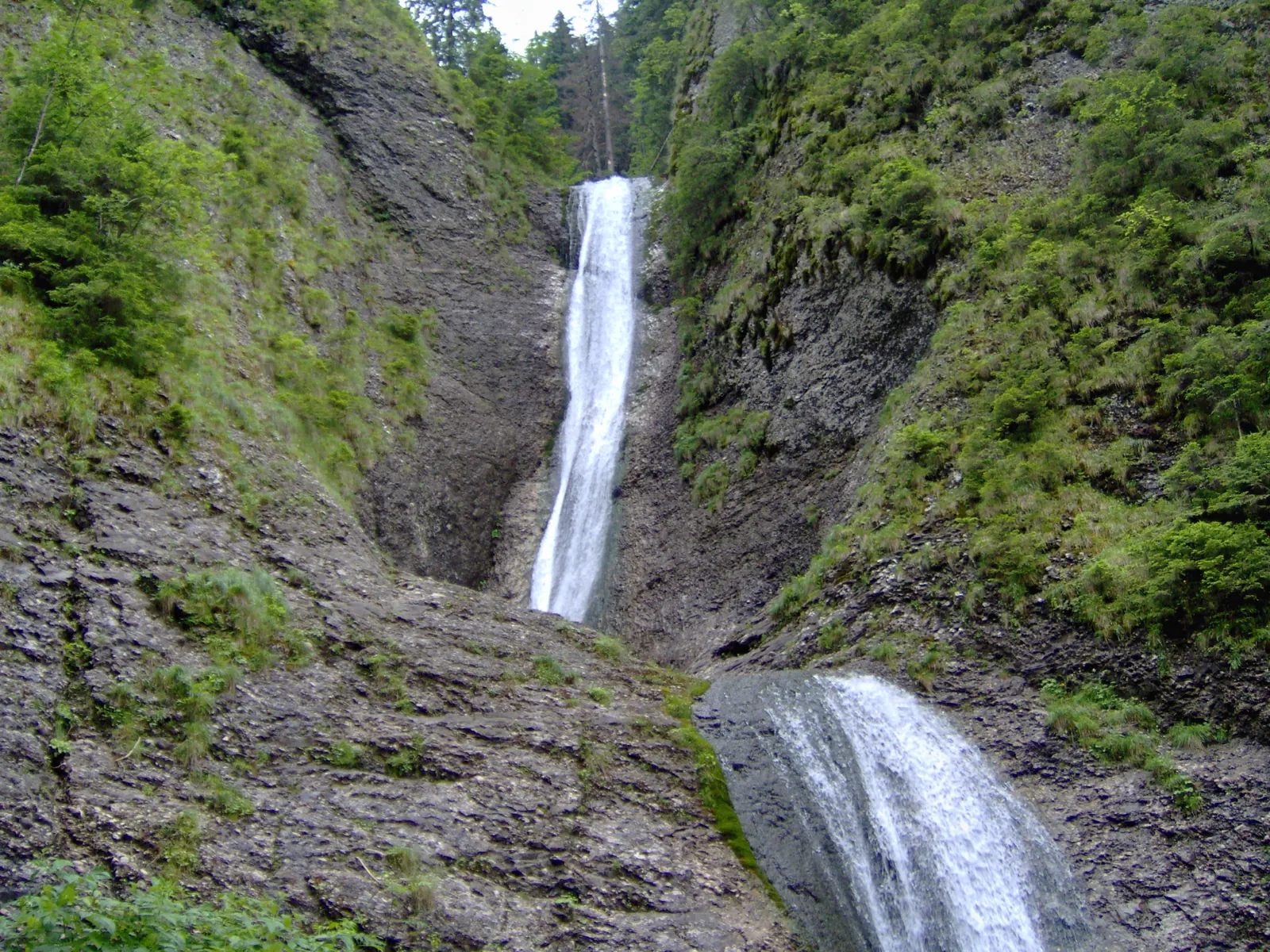
Trail in Ceahlău National Park – Duruitoarea Waterfall
7.5 km4 h 30 min – 5 h↑ 1067 m
Ceahlău: Izvorul Muntelui - Dochia loop (up via Lutu Roșu, down via Jgheabul cu Hotar)
13.5 km↑ 983 m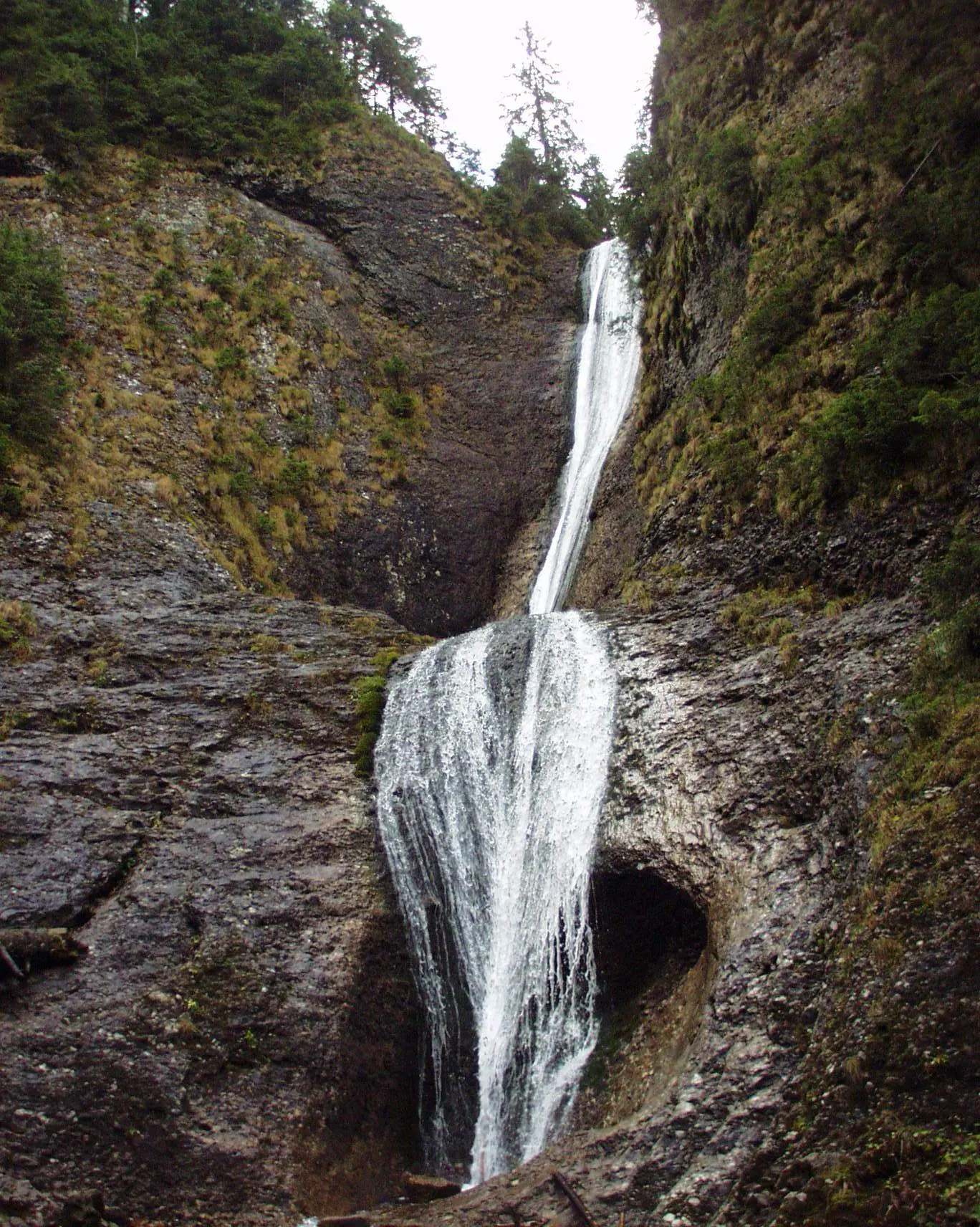
Ceahlău: Durău - Duruitoarea Waterfall (out and back, red cross)
3.6 km↑ 502 m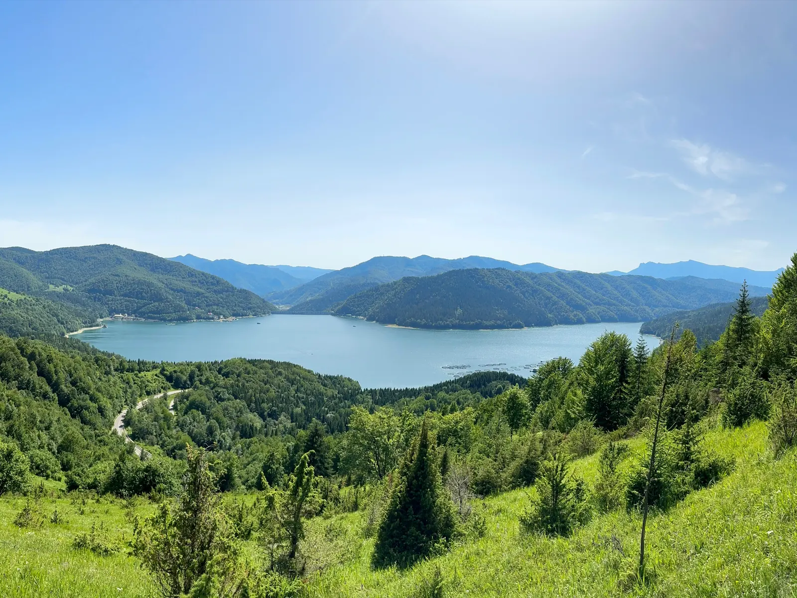
Traseu Cabana Izvorul Muntelui – Curmătura Lutu Roșu – Cabana Dochia RO
6 km↑ 957 m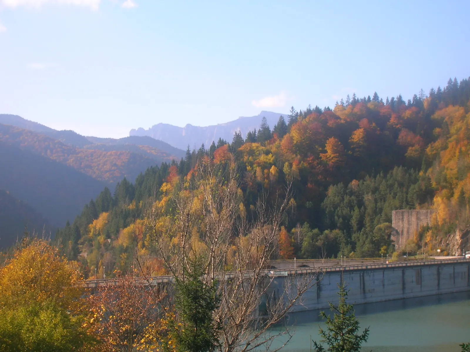
Traseu Hiking: Izvorul Muntelui – Cabana Dochia (Masivul Ceahlău) RO
Photo credits4
- Photo: Wikimedia Commons · CC BY-SA 3.0 (Izvorul Muntelui Lake (Lake Bicaz))
- Photo: Wikimedia Commons · Public domain (Duruitoarea Waterfall)
- Photo: Wikimedia Commons · Public domain (Ceahlău National Park)
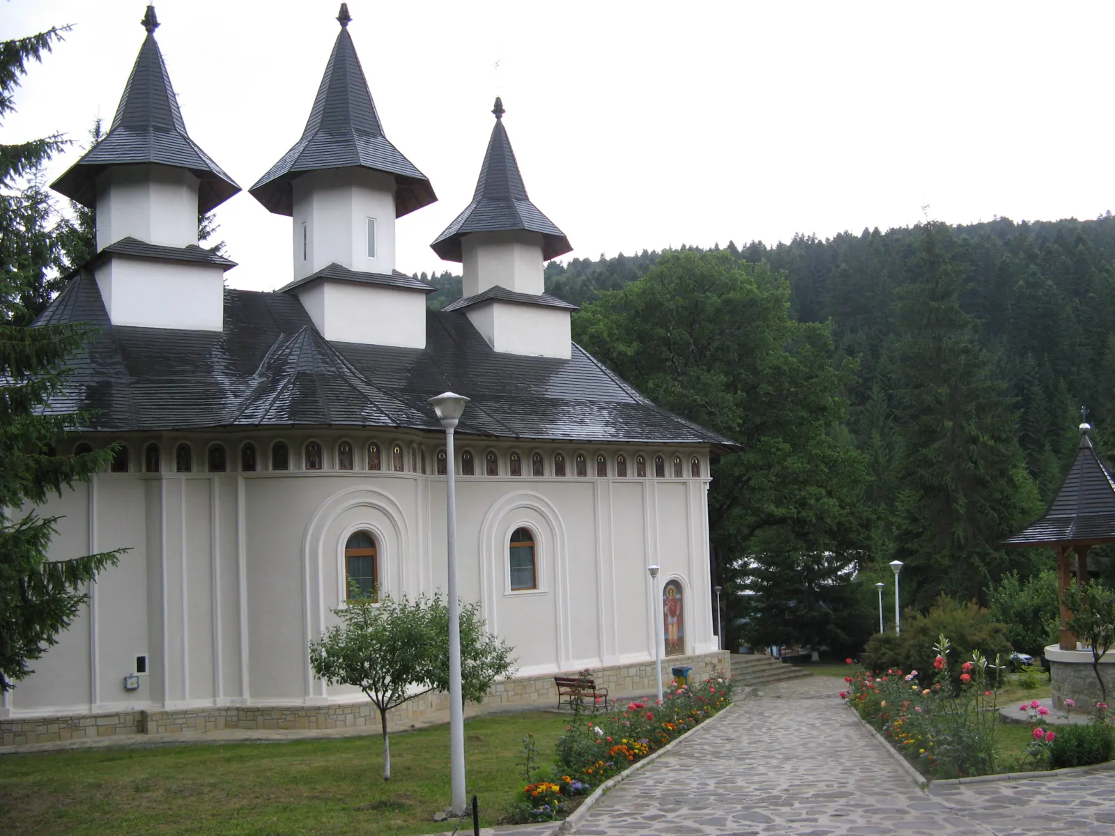
- Photo: Wikimedia Commons · CC BY-SA 3.0 (Durău Monastery)


