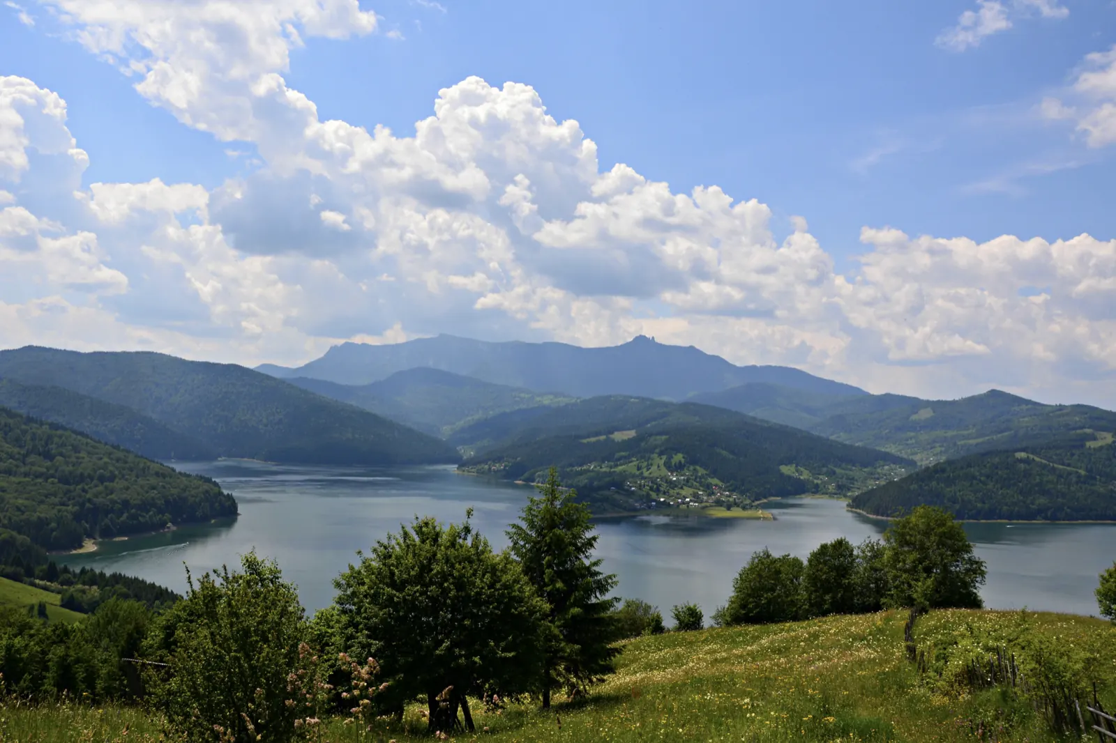
Traseul turistic de la schitul din Cuejdi spre Lacul Cuejdel
- Difficulty
- Start
- Schitul din satul Cuejdi
- Finish
- Lacul Cuejdel
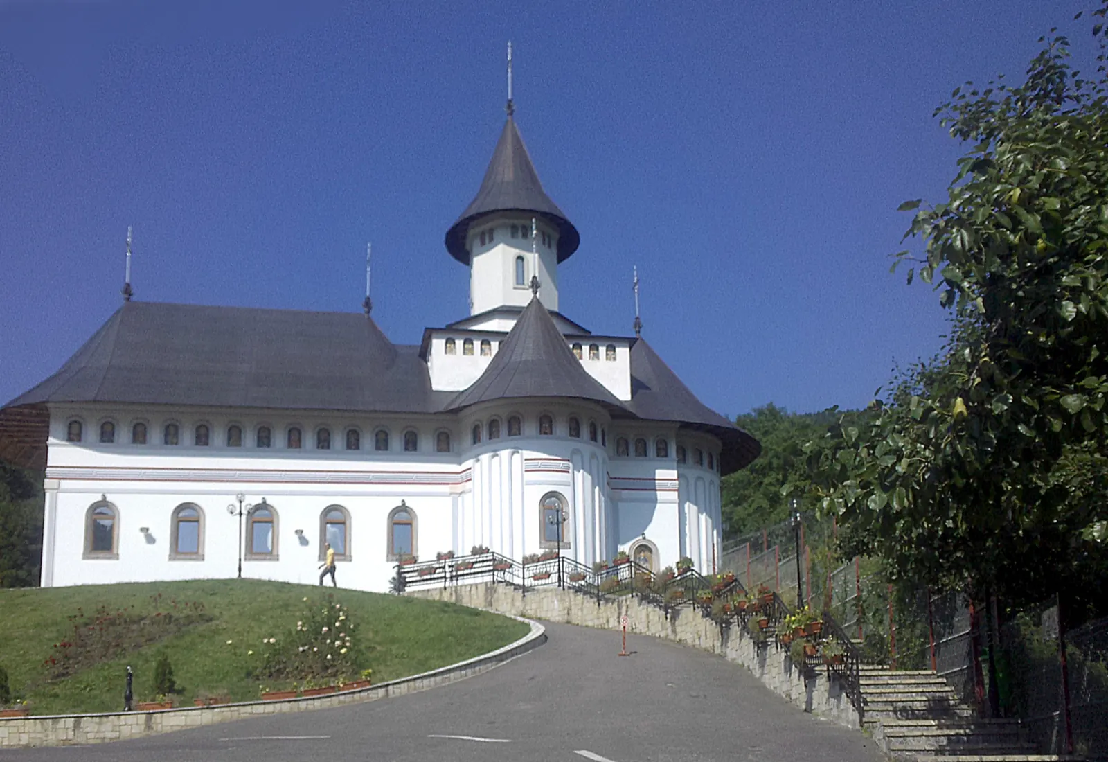
The marked trail starts from the hermitage in the village of Cuejdi, Gârcina commune, and leads through the forest to Cuejdel Lake. From the barrier, the route is walked on foot.
Cuejdel Lake, also called Crucii Lake due to its shape, has a surface area of about 14.9 hectares. It formed on the course of the Cuejdel stream following landslides that began in 1978 and was declared a natural reserve in 2004.
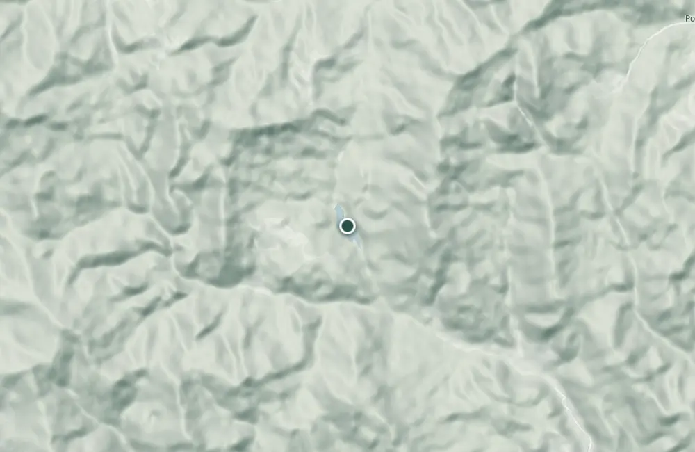
Map of the route
The places the route passes through, on the map.
 © OpenStreetMap · OpenFreeMap · EU-DEM / Copernicus
- 1Stops along the way
The stages
Stage 1
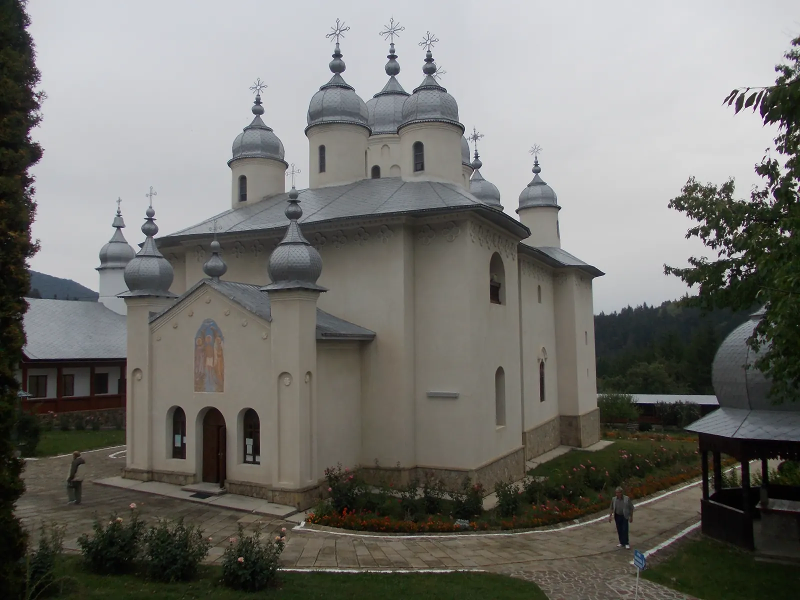
The hermitage in Cuejdi village
Stage 2
Bariera
From the barrier, the road to the lake continues on foot through the forest.
Getting there
Access: From Gârcina commune, through Cuejdi village up to the barrier; for this approach, 15 km are indicated. From the barrier, continue on foot through the forest.
Before you set out
Adequate footwear is required. Access to the reserve with vehicles and other motorized means via Cracăul Negru – Crăcăoani is restricted. For the reserve's visiting restrictions, inquire at the Gârcina Forestry District.
Difficulty described as easy to moderate.
Nearby
Other trails
Trail Agapia Veche – Sihla Hermitage (red cross)
7.61 km2–2½ hours↑ 388 m
Trail Neamț Monastery – Pocrov Hermitage – Leghin (yellow cross)
6.5 km2–2½ hours↑ 225 m
Trail Sihla – Poiana Ciungi – Văratec Monastery (blue dot)
15.2 km4 hours↑ 400 m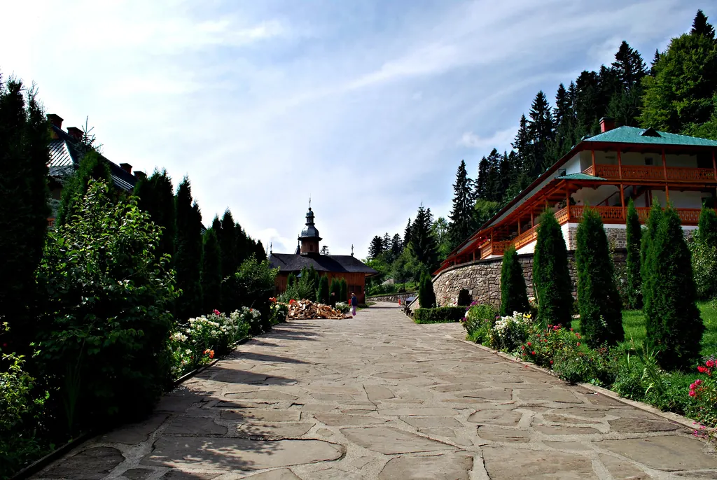
Trail 3: Sihăstria Monastery to Sihla Hermitage via St. Theodora Cave (blue cross)
4.1 km1–1.5 hours↑ 369 m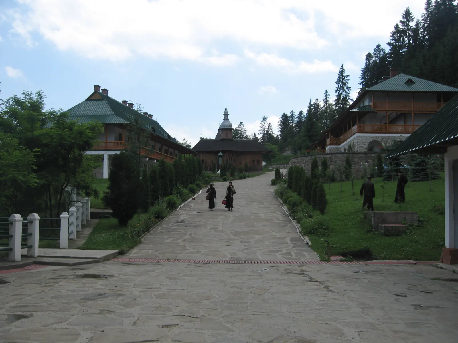
Trail 9: Sihla Hermitage to Agapia Monastery (blue triangle / forest road)
7 kmabout 2 hours on foot↑ 32 m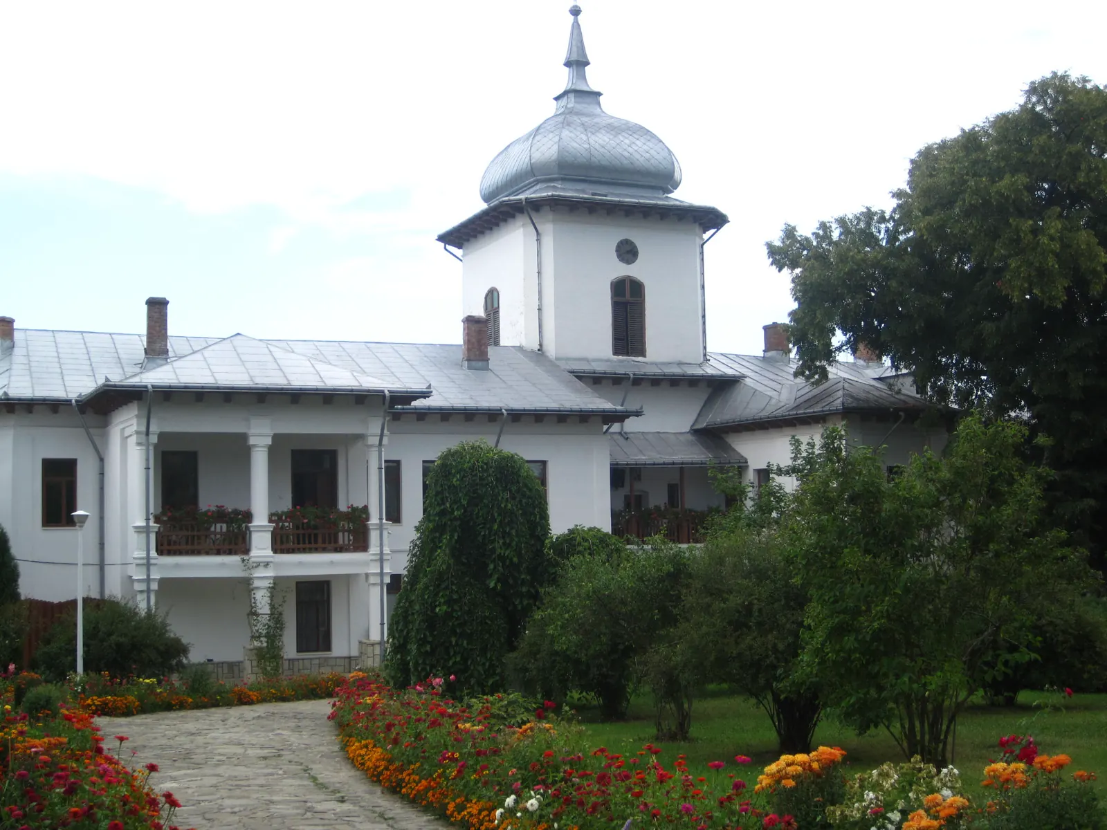
Winter hike along the Secu stream valley
7 km↑ 86 m
Photo credits4
- Photo: Wikimedia Commons · CC BY-SA 3.0 (Izvorul Muntelui Lake (Lake Bicaz))
- Photo: Wikimedia Commons · CC BY-SA 3.0 (Horaița Monastery)
- Photo: Wikimedia Commons · CC BY-SA 3.0 (Bistrița Monastery and Museum Collection)
- Photo: Wikimedia Commons · Public domain (Pângărați Monastery)


