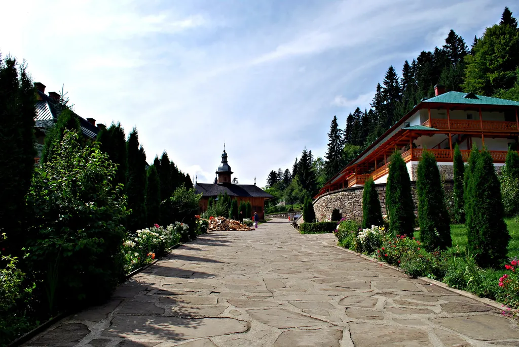
Trail Neamț Monastery – Pocrov Hermitage – Leghin (yellow cross)
- Length
- 6.5 km
- Time
- 2–2½ hours
- Difficulty
- Ascent
- 225 m
- Descent
- 219 m
- Altitude
- 487–669 m
- Waymark
- yellow cross in white square
- Season
- Warm season
- Start
- Mănăstirea Neamț
- Finish
- satul Leghin
The marked trail in Vânători-Neamț Natural Park starts from Mănăstirea Neamț, passes by Schitul Pocrov, and reaches the village of Leghin.
It has a yellow cross in a white square marking, a duration of 2–2½ hours, and a length of 6.5 km.
Map of the route
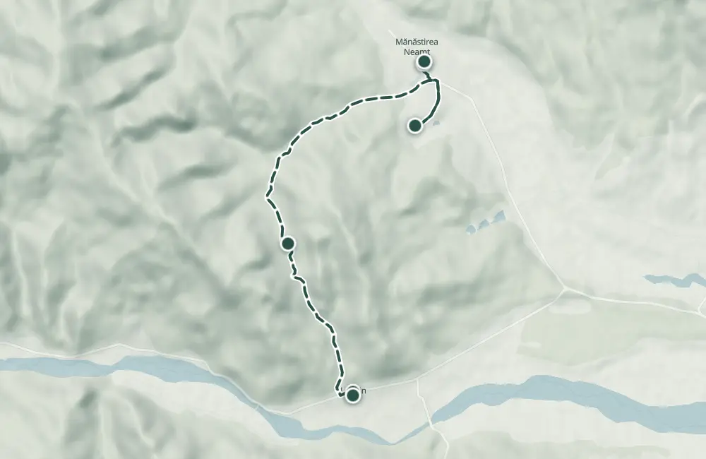 © OpenStreetMap · OpenFreeMap · EU-DEM / Copernicus
- The route
- Start
- Finish
- 1Stops along the way
↑ 225 m↓ 219 m487–669 m
The stages
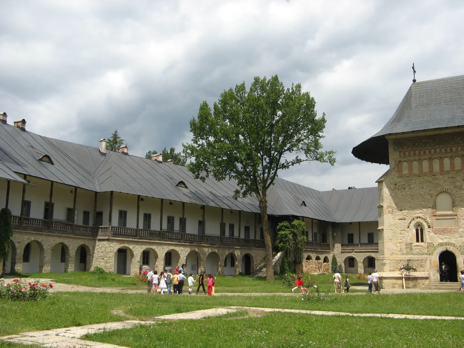
Stage 1
Monastery Neamț
Stage 2
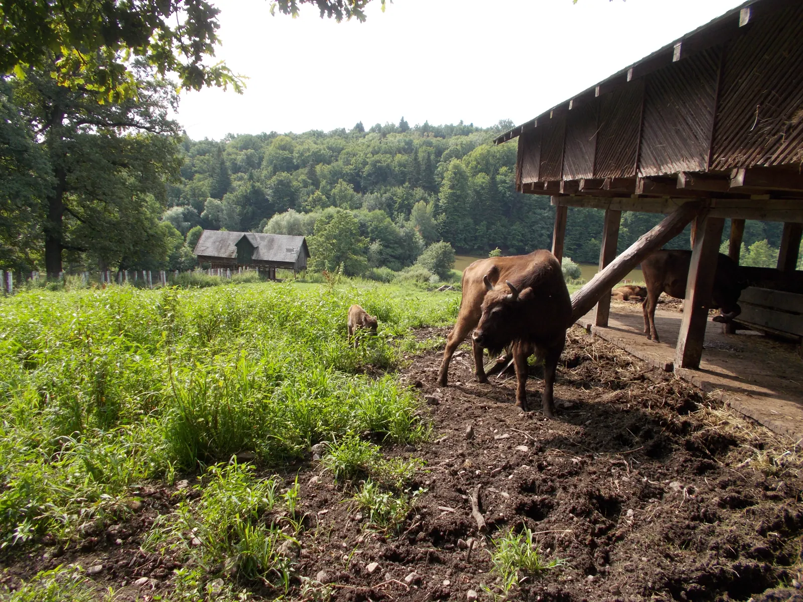
Hermitage Vovidenia
Stage 3
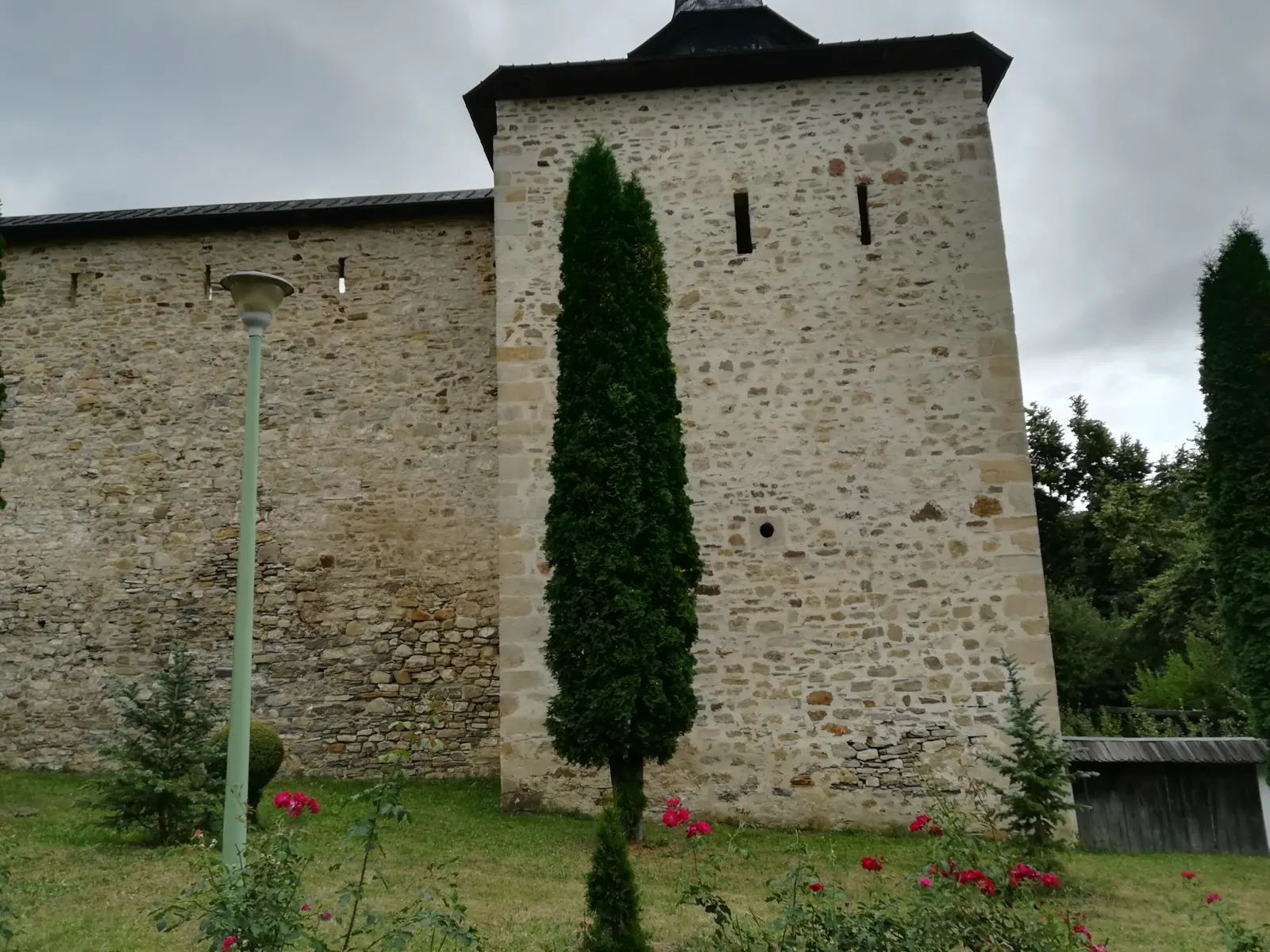
Hermitage Pocrov
Stage 4
Village of Leghin
Stay near the start
Nearby
Other trails
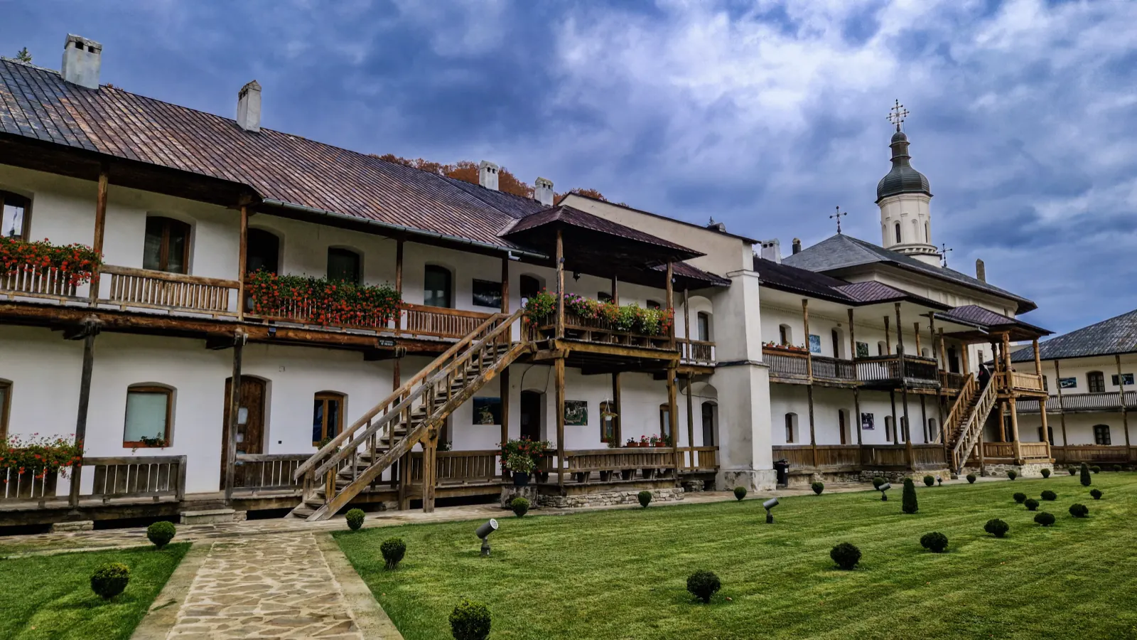
Trail Agapia Veche – Sihla Hermitage (red cross)
7.61 km2–2½ hours↑ 388 m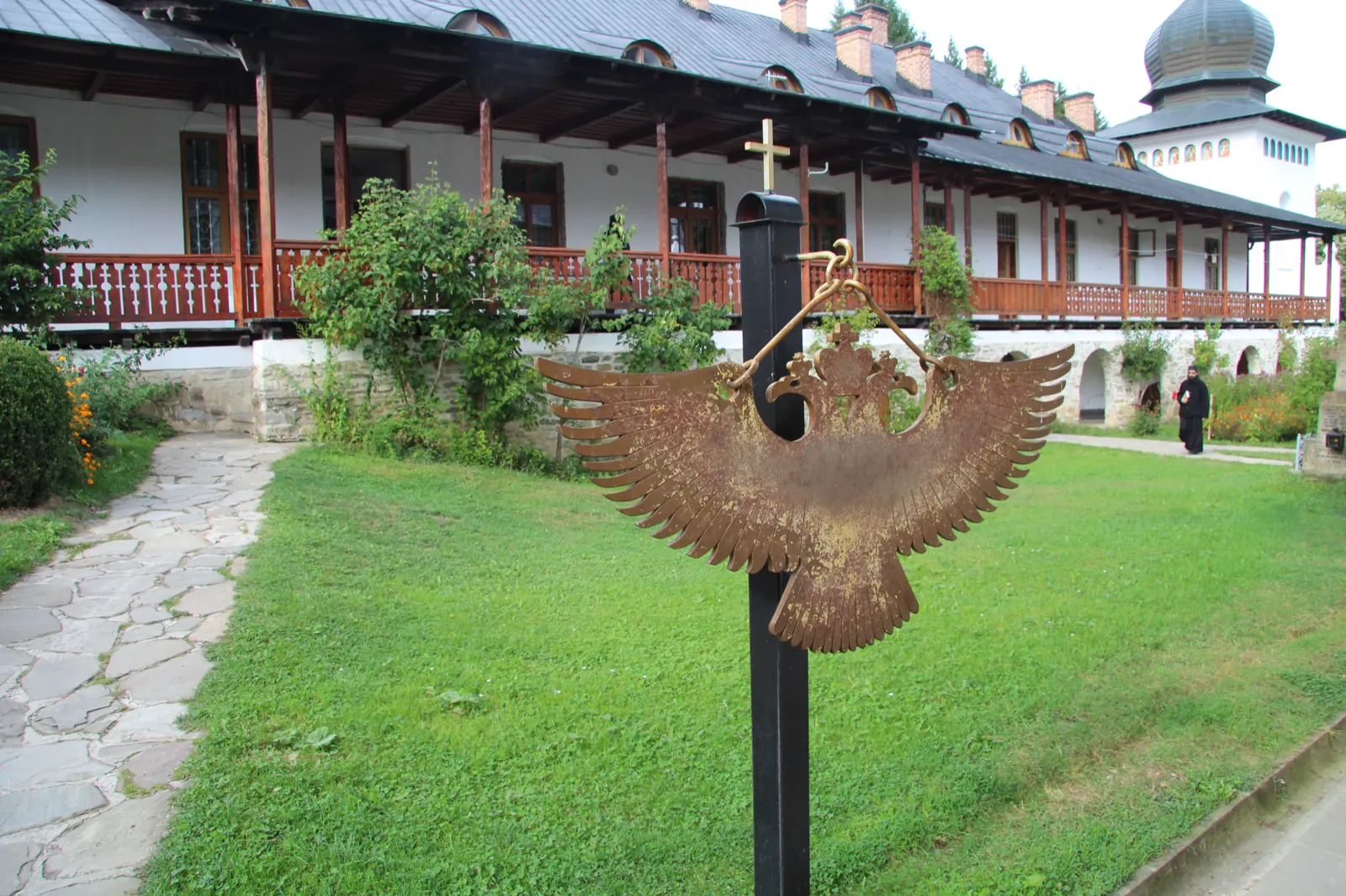
Trail Sihla – Poiana Ciungi – Văratec Monastery (blue dot)
15.2 km4 hours↑ 400 m
Trail 3: Sihăstria Monastery to Sihla Hermitage via St. Theodora Cave (blue cross)
4.1 km1–1.5 hours↑ 369 m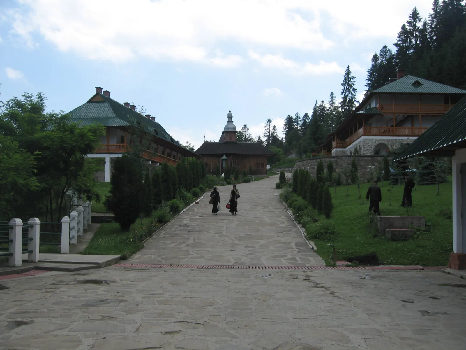
Trail 9: Sihla Hermitage to Agapia Monastery (blue triangle / forest road)
7 kmabout 2 hours on foot↑ 32 m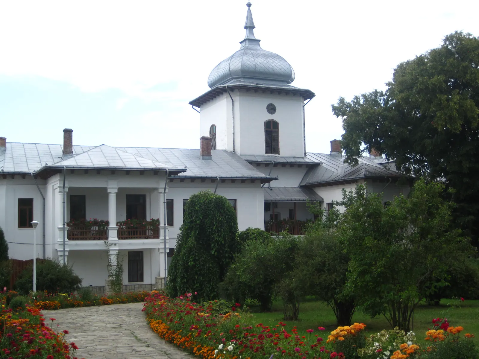
Winter hike along the Secu stream valley
7 km↑ 86 mVânători-Neamț Natural Park – Trail 1: Secu Monastery – Agapia Veche Hermitage
3.9 km1–1.5 hours↑ 337 m
Photo credits6
- Photo: Wikimedia Commons · CC BY-SA 2.0 (The lane of Sihla Monastery)
- Photo: Wikimedia Commons · CC BY-SA 3.0 (Neamț Monastery and Museum Collection)
- Photo: Wikimedia Commons · CC0 (Dragoș Vodă Bison and Carpathian Wildlife Reserve)
- Photo: Wikimedia Commons · CC BY-SA 4.0 (Secu Monastery and Museum Collection)
- Photo: Wikimedia Commons · CC BY-SA 3.0 (Vânători-Neamț Natural Park)
- Photo: Wikimedia Commons · CC BY-SA 4.0 (Sihăstria Monastery)


