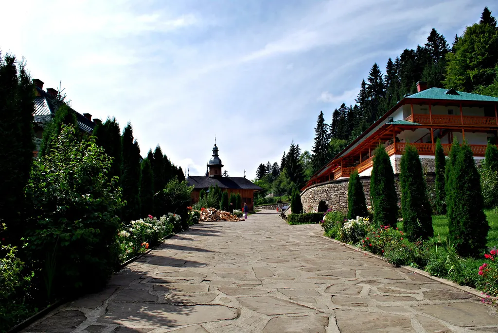
Trail 3: Sihăstria Monastery to Sihla Hermitage via St. Theodora Cave (blue cross)
- Length
- 4.1 km
- Time
- 1–1.5 hours
- Difficulty
- Ascent
- 369 m
- Descent
- 52 m
- Altitude
- 609–972 m
- Waymark
- Blue cross on a white background
- Start
- Mănăstirea Sihăstria
- Finish
- Schitul Sihla
The pilgrimage path starts from Mănăstirea Sihăstria and climbs through the forest toward Peștera Sfintei Cuvioase Teodora, the little church "from a single fir," and Schitul Sihla. It is marked with a blue cross on a white background.
The route is 4.1 km, with an ascent of 330 m, and takes 1–1.5 hours.
At the beginning, the path climbs gently through the deciduous forest, then crosses a thicket of firs. The last portion of the ascent is steep but short. Before the descent toward Sihla, a detour to the right leads to the cave of Sfânta Teodora.
After the cave, the path climbs a little and descends toward the little church built from the wood of a single fir, then reaches Schitul Sihla.
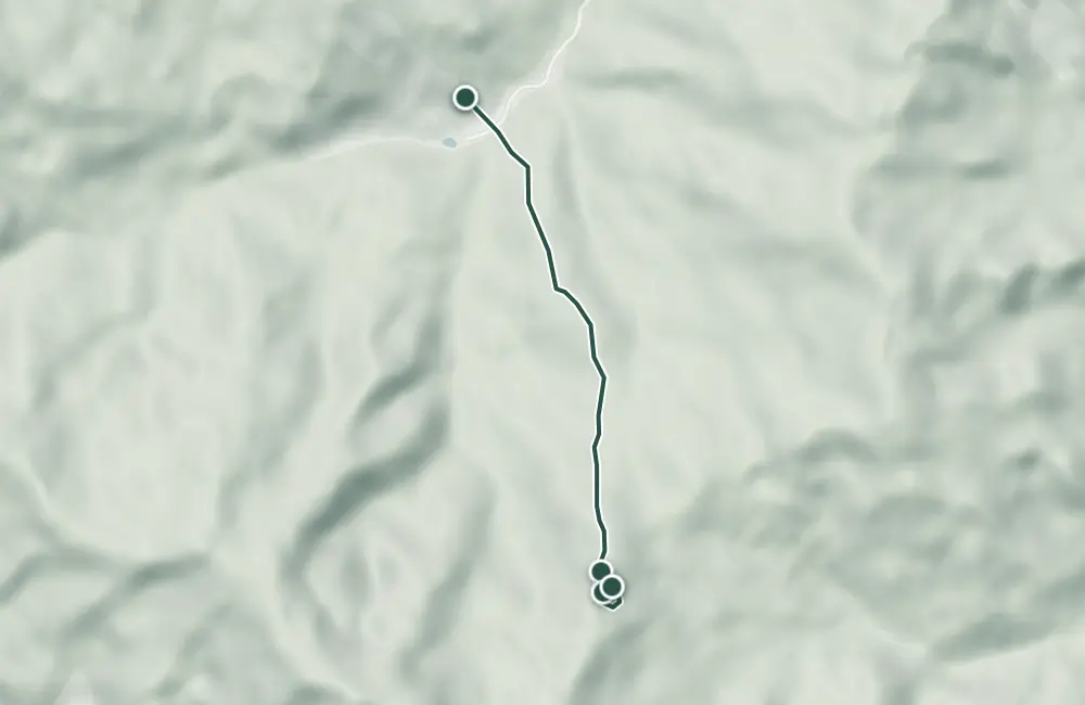
Map of the route
 © OpenStreetMap · OpenFreeMap · EU-DEM / Copernicus
- The route
- Start
- Finish
- 1Stops along the way
↑ 369 m↓ 52 m609–972 m
The stages
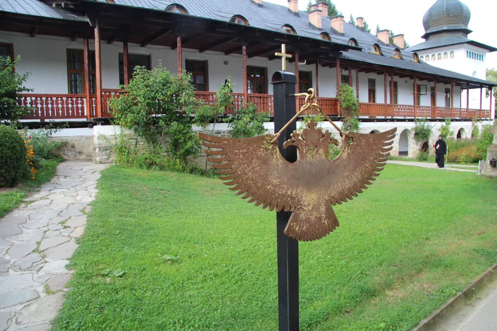
Stage 1
Monastery Sihăstria
At the monastery you can see the cemetery and the wooden church, with the graves of Fathers Cleopa and Paisie Olaru.
Stage 2
Cave Sfintei Cuvioase Teodora
The trail turns toward the cave where Saint Teodora lived for almost 40 years.
Stage 3
Bisericuța „dintr-un brad” (Sihla)
You see the small church built from the wood of a single fir tree.
Stage 4
Hermitage Sihla
The hermitage is the destination of the pilgrimage trail.
Getting there
Access: The marked trail starts in front of Sihăstria Monastery, located about 3 km from Secu and about 22 km from Târgu Neamț, on DN15B and the Secu valley.
Travel: Sihla can also be reached by car on an 8 km forest road; the marked trail is the walking route.
Before you set out
The last section of the climb is steep.
The ascent becomes steep for a short time near the end.
- Emergencies
- 112
- Salvamont Neamț
- 0725 826 668
Nearby
Other trails
Trail Agapia Veche – Sihla Hermitage (red cross)
7.61 km2–2½ hours↑ 388 mTrail Neamț Monastery – Pocrov Hermitage – Leghin (yellow cross)
6.5 km2–2½ hours↑ 225 m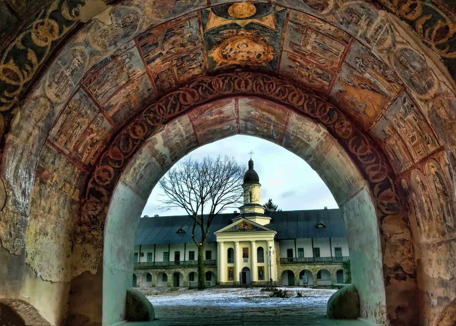
Trail Sihla – Poiana Ciungi – Văratec Monastery (blue dot)
15.2 km4 hours↑ 400 m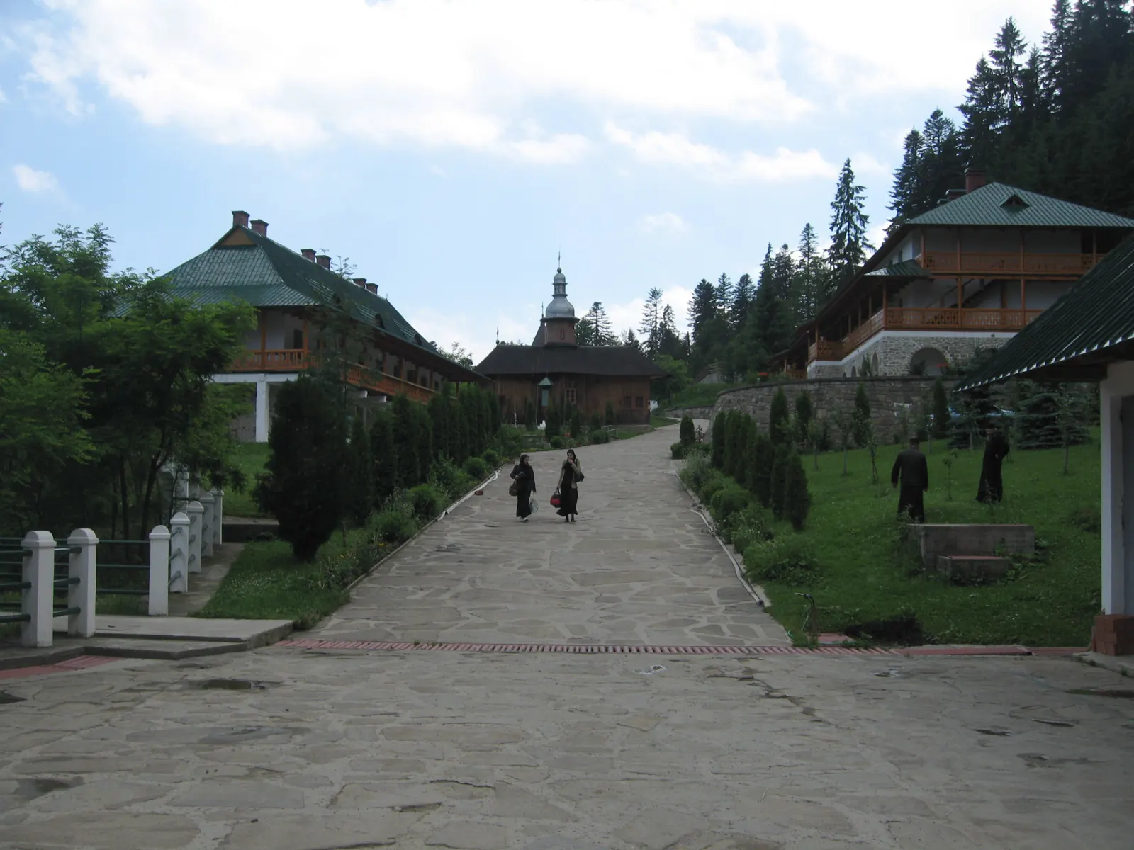
Trail 9: Sihla Hermitage to Agapia Monastery (blue triangle / forest road)
7 kmabout 2 hours on foot↑ 32 m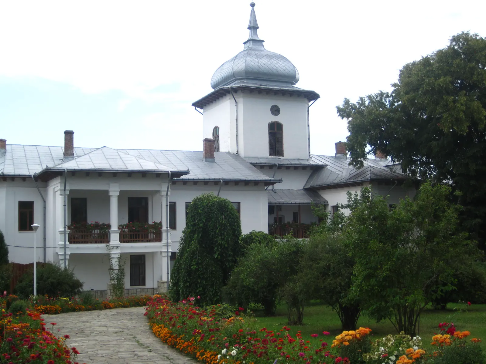
Winter hike along the Secu stream valley
7 km↑ 86 m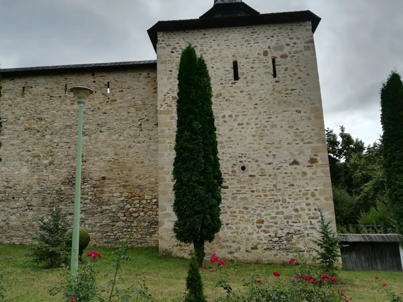
Vânători-Neamț Natural Park – Trail 1: Secu Monastery – Agapia Veche Hermitage
3.9 km1–1.5 hours↑ 337 m
Photo credits6
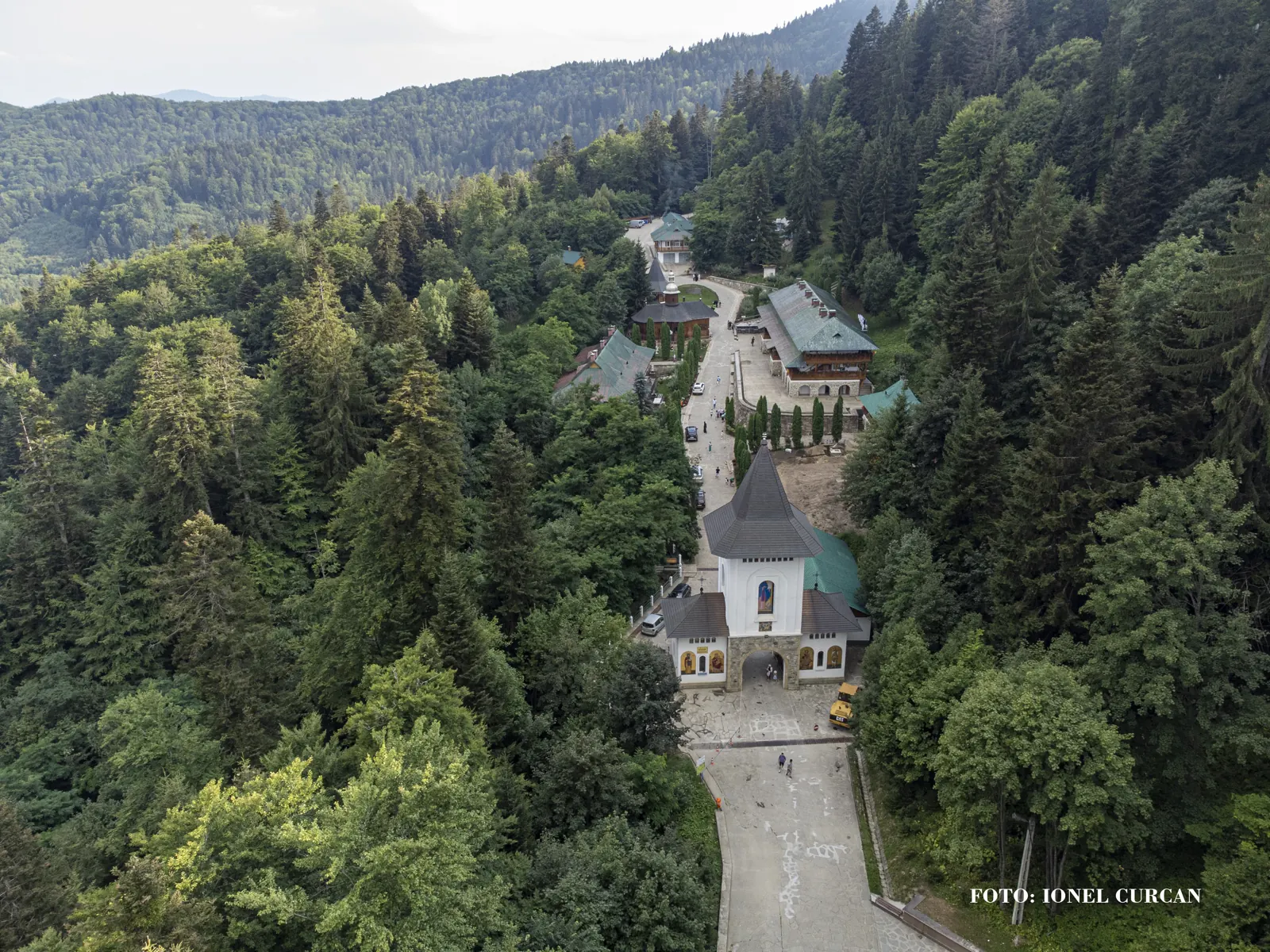
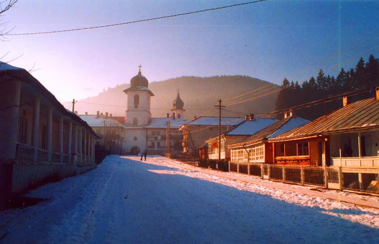
- Photo: Wikimedia Commons · CC BY-SA 2.0 (Sihla Hermitage)
- Photo: Wikimedia Commons · CC BY-SA 4.0 (Sihăstria Monastery)
- Photo: Wikimedia Commons · CC BY-SA 3.0 (Vânători-Neamț Natural Park)
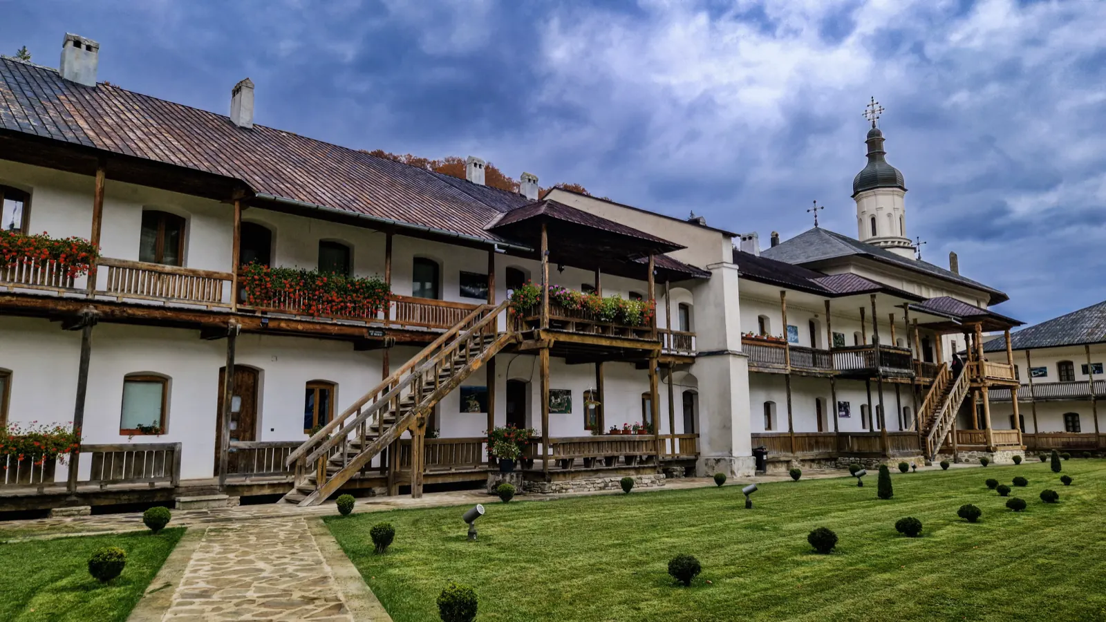
- Photo: Wikimedia Commons · CC BY-SA 4.0 (Secu Monastery and Museum Collection)
- Photo: Wikimedia Commons · CC BY-SA 4.0 (Sihla Hermitage)
- Photo: Wikimedia Commons · CC BY-SA 3.0 (Agapia Monastery Museum and Living Museum)


