Trail Sihla – Poiana Ciungi – Văratec Monastery (blue dot)
- Length
- 15.2 km
- Time
- 4 hours
- Difficulty
- Ascent
- 400 m
- Descent
- 807 m
- Altitude
- 544–981 m
- Waymark
- blue dot with white border
- Season
- Warm season
- Start
- Schitul Sihla
- Finish
- Mănăstirea Văratec
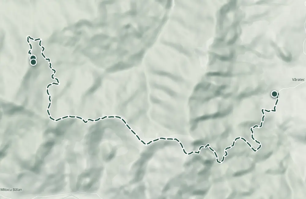
Hiking trail through Vânători Neamț Natural Park, from Schitul Sihla through Poiana Ciungi to Mănăstirea Văratec.
It has blue dot marking with white border and an indicated duration of 4 hours; the recorded length for the trail is 15.2 km.
Map of the route
 © OpenStreetMap · OpenFreeMap · EU-DEM / Copernicus
- The route
- Start
- Finish
- 1Stops along the way
↑ 400 m↓ 807 m544–981 m
The stages
Stage 1
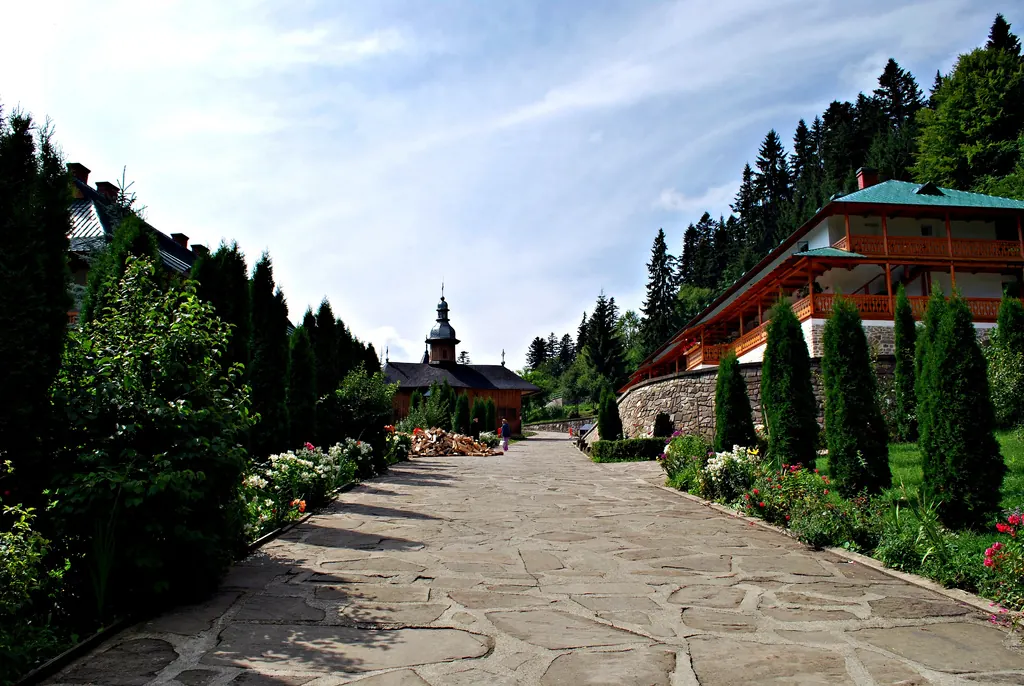
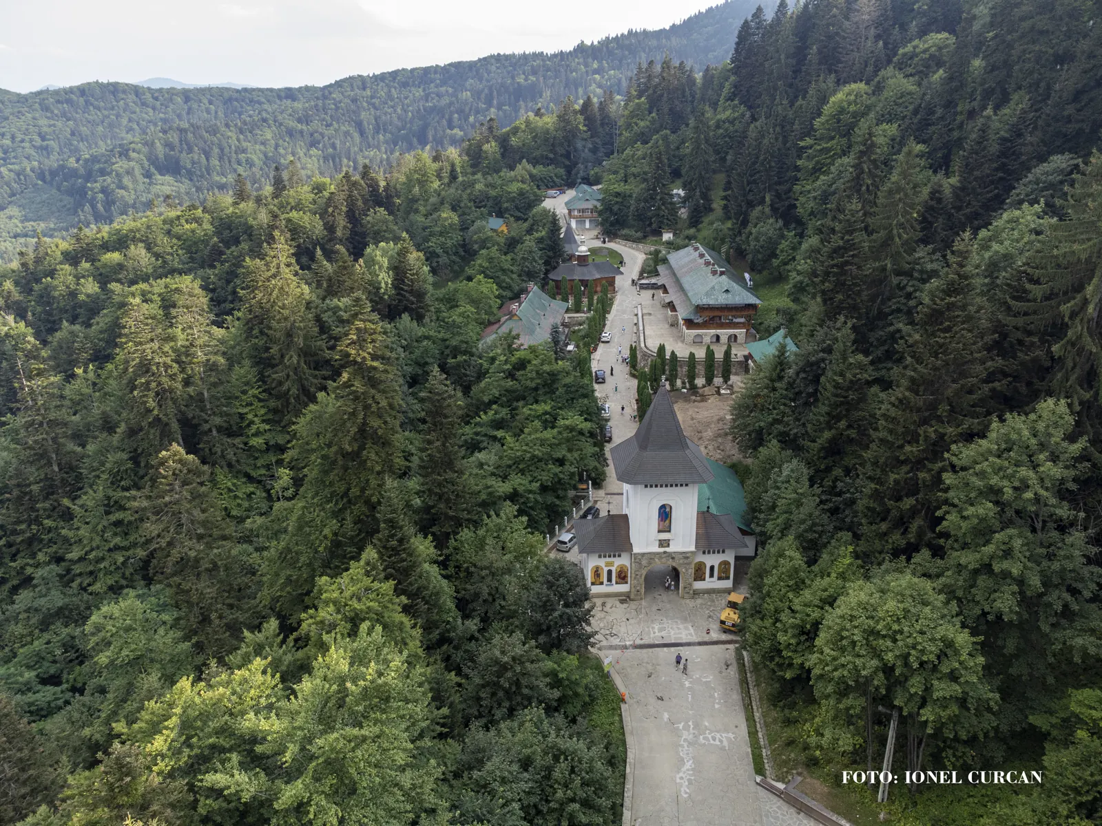
Hermitage Sihla
Stage 2
Poiana Ciungi
Stage 3
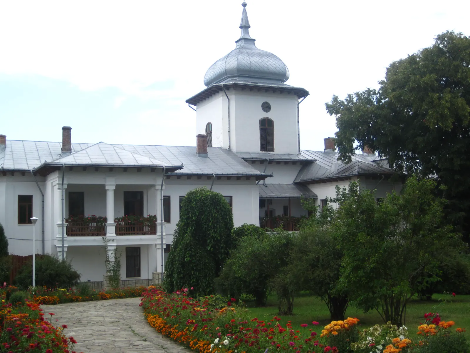
Monastery Văratec
Before you set out
- Emergencies
- 112
- Salvamont Neamț
- 0725 826 668
Stay near the start
Nearby
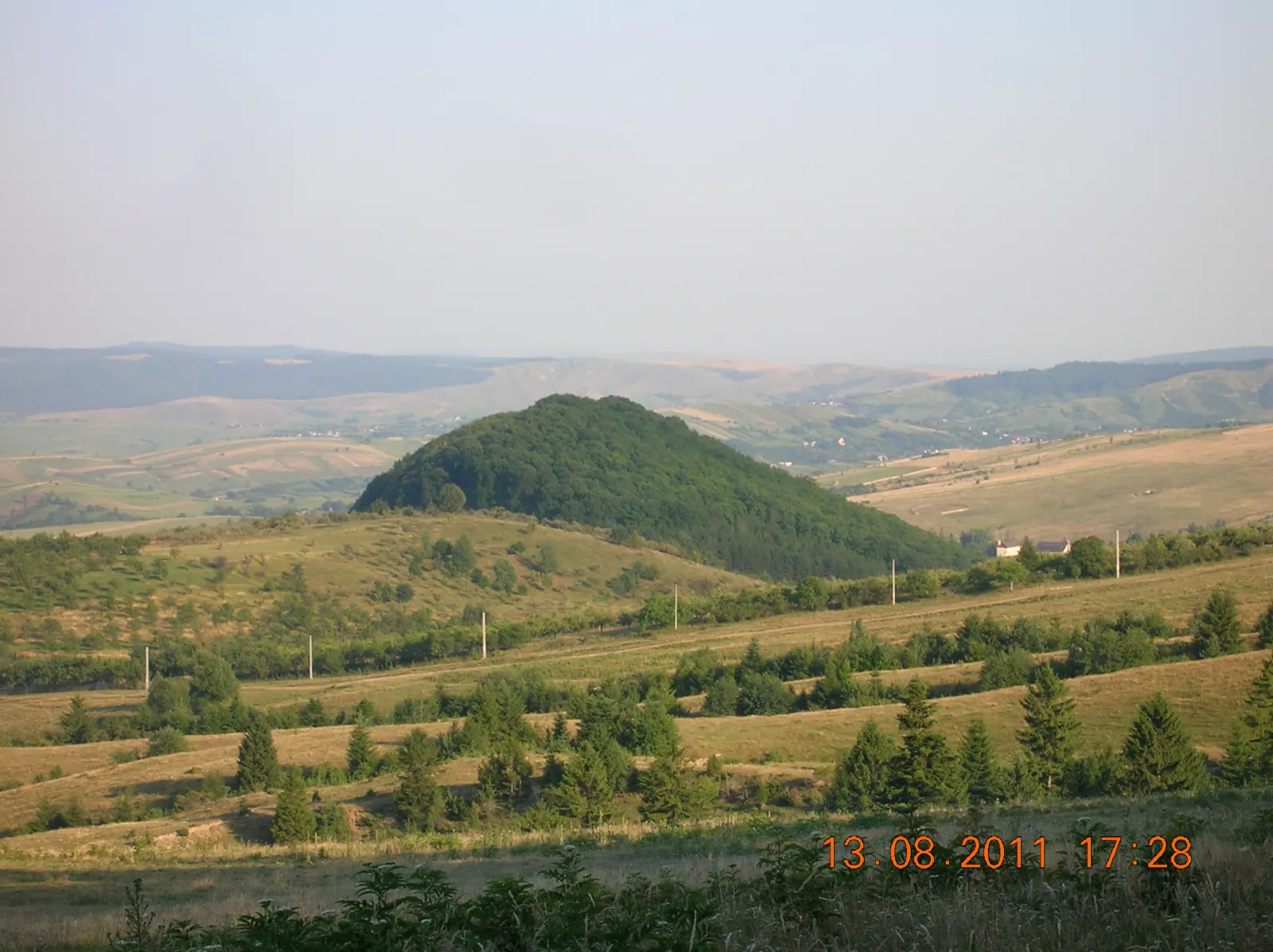

Other trails
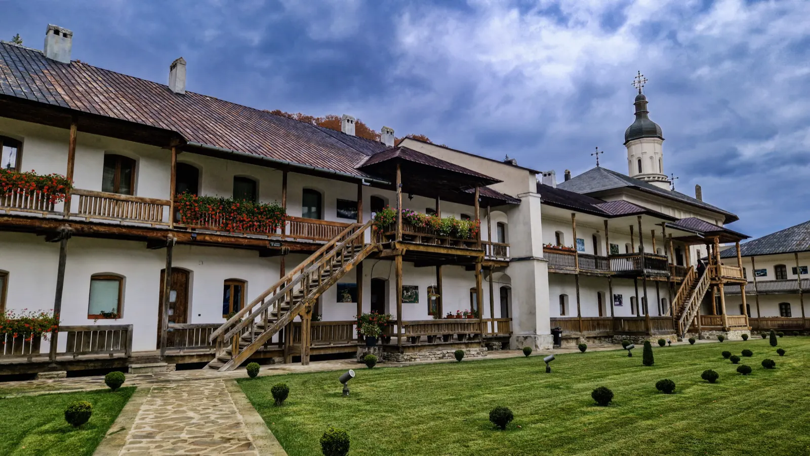
Trail Agapia Veche – Sihla Hermitage (red cross)
7.61 km2–2½ hours↑ 388 m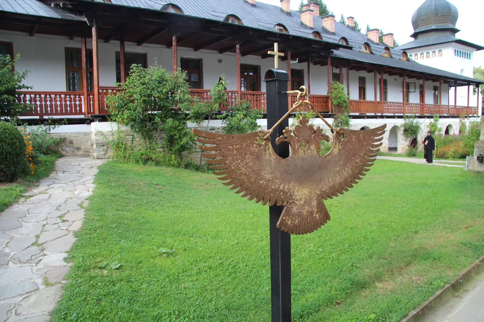
Trail Neamț Monastery – Pocrov Hermitage – Leghin (yellow cross)
6.5 km2–2½ hours↑ 225 m
Trail 3: Sihăstria Monastery to Sihla Hermitage via St. Theodora Cave (blue cross)
4.1 km1–1.5 hours↑ 369 m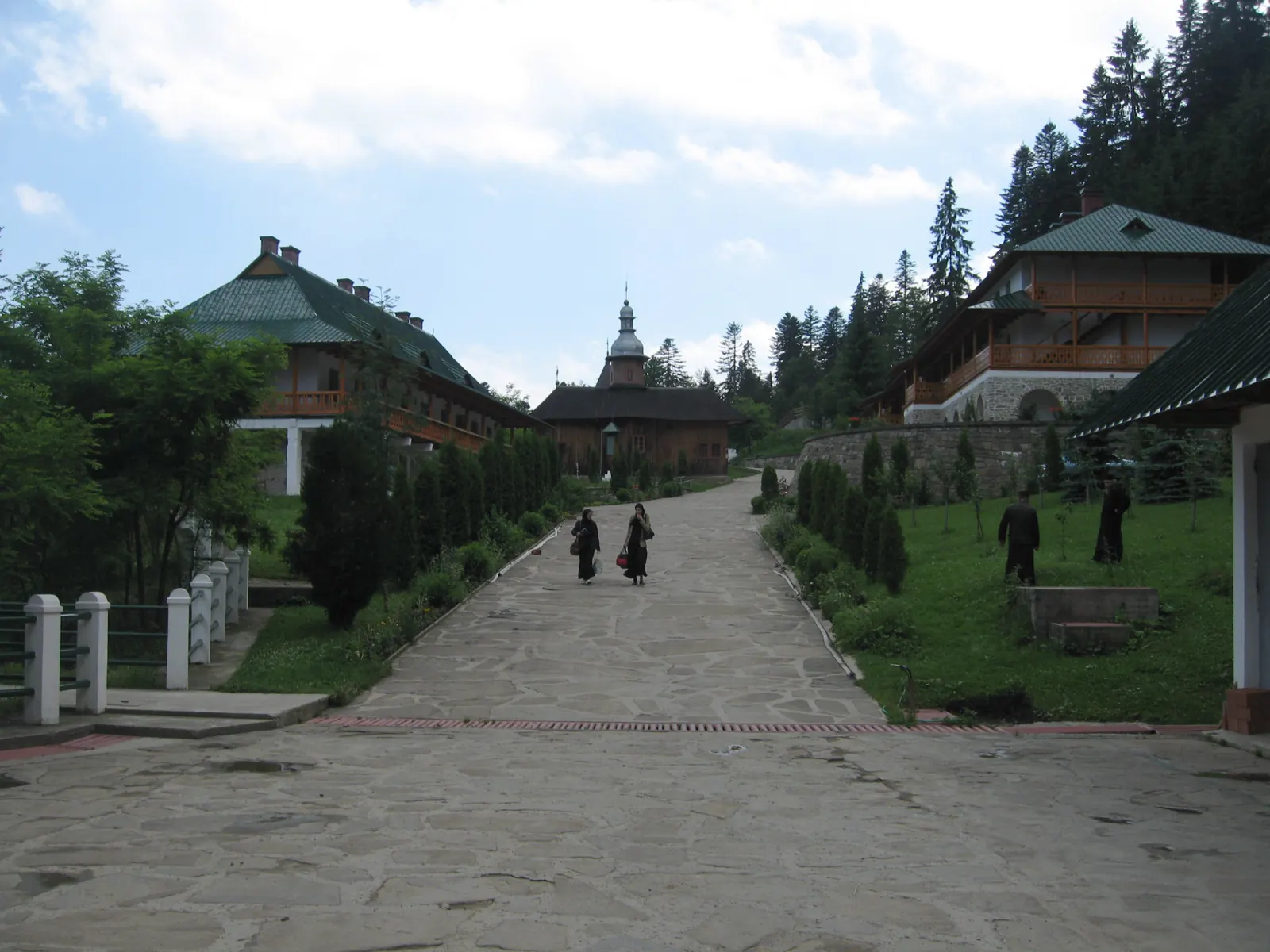
Trail 9: Sihla Hermitage to Agapia Monastery (blue triangle / forest road)
7 kmabout 2 hours on foot↑ 32 mWinter hike along the Secu stream valley
7 km↑ 86 m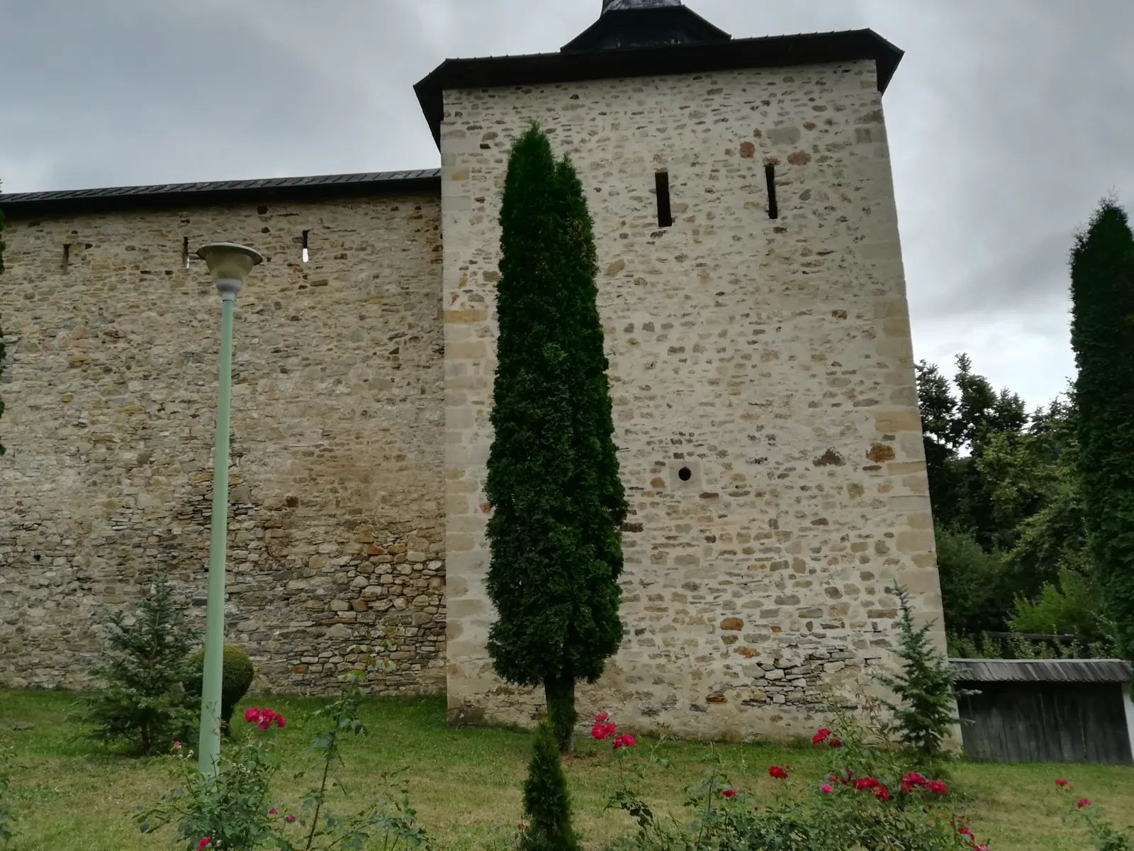
Vânători-Neamț Natural Park – Trail 1: Secu Monastery – Agapia Veche Hermitage
3.9 km1–1.5 hours↑ 337 m
Photo credits6
- Photo: Wikimedia Commons · CC BY-SA 2.0 (Sihla Hermitage)
- Photo: Wikimedia Commons · CC BY-SA 3.0 (Văratec Monastery and Museum Collection)
- Photo: Wikimedia Commons · CC BY-SA 4.0 (Sihla Hermitage)
- Photo: Wikimedia Commons · CC BY-SA 4.0 (Sihăstria Monastery)
- Photo: Wikimedia Commons · CC BY-SA 3.0 (Vânători-Neamț Natural Park)
- Photo: Wikimedia Commons · CC BY-SA 3.0 (Agapia Monastery Museum and Living Museum)


