
Tourist trails in Ceahlău National Park (the 7 marked trails)
- Length
- 104.5 km
- Difficulty
- Ascent
- 7910 m
- Descent
- 1140 m
- Altitude
- 530–1798 m
- Finish
- Cabana Dochia
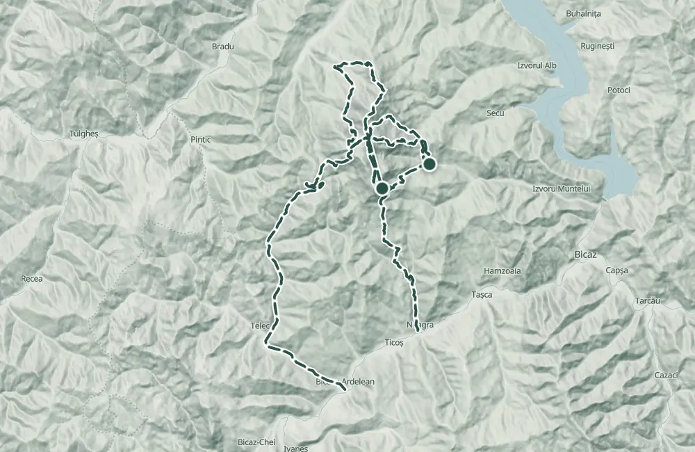
This page brings together seven mountain trails in Parcul Național Ceahlău, with departures from Cabana Izvorul Muntelui, Durău, Bicazu Ardelean or the village of Neagra and arrival at Cabana Dochia. The trails have declared lengths between 6 and 17 km and durations between 3 and 8 hours, depending on the chosen variant.
From Cabana Izvorul Muntelui three variants start: through Poiana Maicilor, marked with red stripe, 9 km and 6–7 hours; through Curmătura Lutu Roșu, blue stripe, 6 km and 3 hours 30 minutes; through Stânca Dochiei and Jgheabul cu Hotar, blue triangle, 7.5 km and 3 hours 30 minutes–4 hours.
From Durău start the variant through Cabana Fântânele, red stripe, 7.5 km and 3–3 hours 30 minutes, and the one through Poiana Vesuri and Cascada Duruitoarea, red cross, 7.5 km and 4 hours 30 minutes–5 hours. The trail from Bicazu Ardelean passes through Telec and Curmătura Stănile, on blue stripe, 17 km and 7–8 hours. From the village of Neagra, the blue cross leads through Curmătura Văratec and Poiana Maicilor, 14 km and 6–7 hours.
In the park are Rezervația Științifică Ocolașul Mare, the botanical reserve Polița cu Crini, Cascada Duruitoarea, Avenul Mare and rock formations such as Toaca and Panaghia.
Trail 1 is forbidden in winter; on trail 5, in winter you can only go as far as Cascada Duruitoarea. Trail 2 is practicable all year round.
Map of the route
 © OpenStreetMap · OpenFreeMap · EU-DEM / Copernicus
- The route
- Start
- Finish
↑ 7910 m↓ 1140 m530–1798 m

Getting there
Access: Starting points are Izvorul Muntelui Chalet for routes 1–3, Durău resort for routes 4–5, Bicazu Ardelean for route 6, and Neagra village for route 7.
Before you set out
Do not hike route 1 in winter and do not continue on route 5 in winter beyond Duruitoarea Waterfall.
Medium difficulty for routes 2–5; high difficulty for routes 1, 6, and 7.
- Emergencies
- 112
- Salvamont Neamț
- 0725 826 668
Stay near the start
Nearby
Other trails
Circuitul nr 2 din Piatra Neamț RO
200 km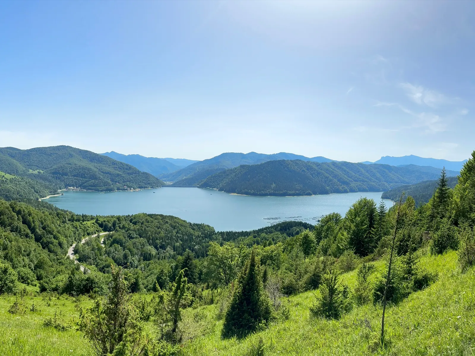
Along the Bistrița: Bicaz, the Bicaz Gorge and Ceahlău
100 km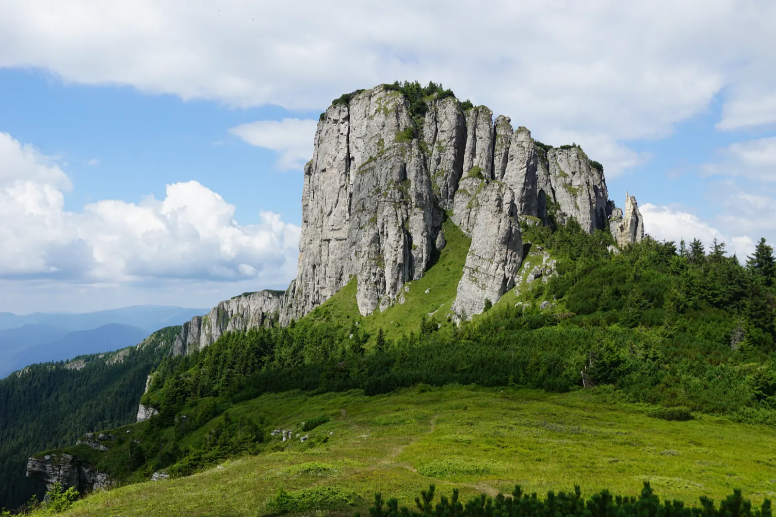
Ceahlău – Trail 4: Durău resort – Fântânele Chalet – Dochia Chalet
7.5 km3 h – 3 h 30 min↑ 1015 m
Jgheabul cu Hotaru (Cabana Izvorul Muntelui – Cabana Dochia) RO
7.5 km3 h 30 min–4 h↑ 972 m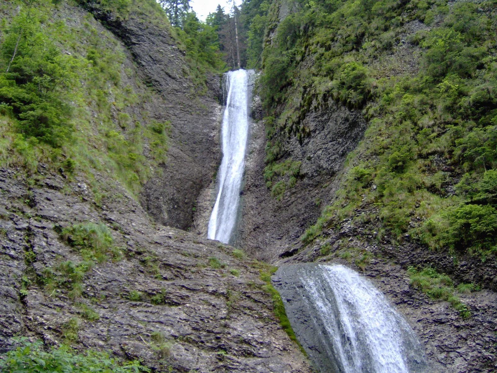
Trail in Ceahlău National Park – Duruitoarea Waterfall
7.5 km4 h 30 min – 5 h↑ 1067 m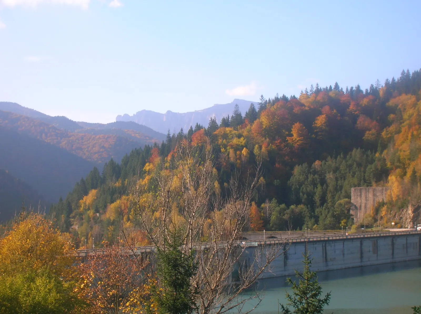
Ceahlău: Izvorul Muntelui - Dochia loop (up via Lutu Roșu, down via Jgheabul cu Hotar)
13.5 km↑ 983 m
Photo credits4
- Photo: Wikimedia Commons · Public domain (Ceahlău National Park)
- Photo: Wikimedia Commons · Public domain (Duruitoarea Waterfall)
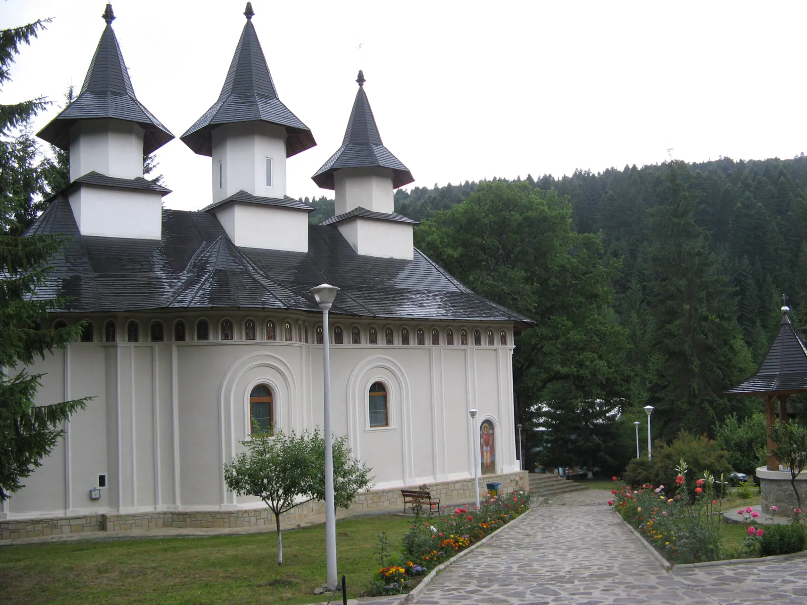
- Photo: Wikimedia Commons · CC BY-SA 3.0 (Durău Monastery)
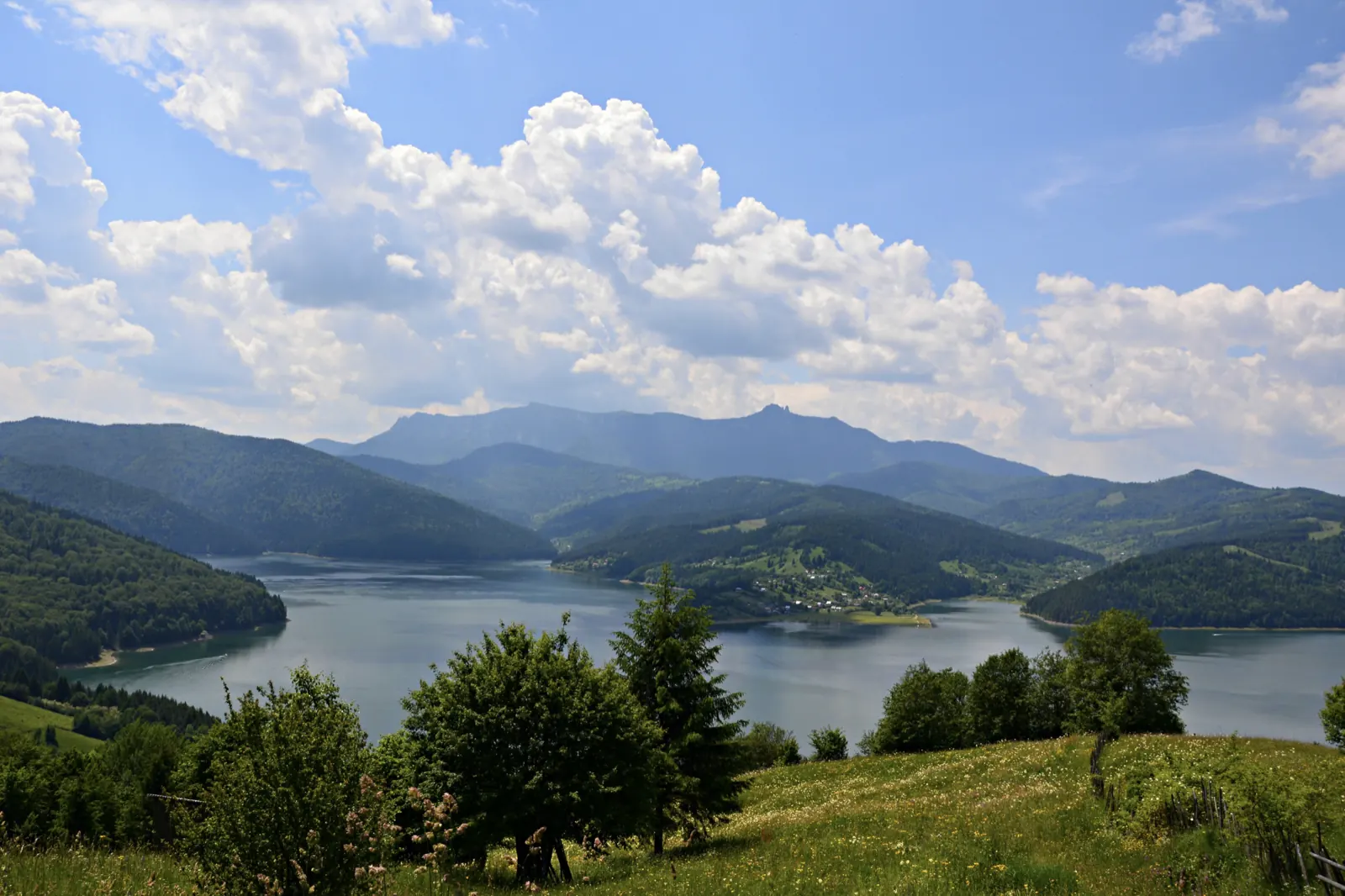
- Photo: Wikimedia Commons · CC BY-SA 3.0 (Izvorul Muntelui Lake (Lake Bicaz))


