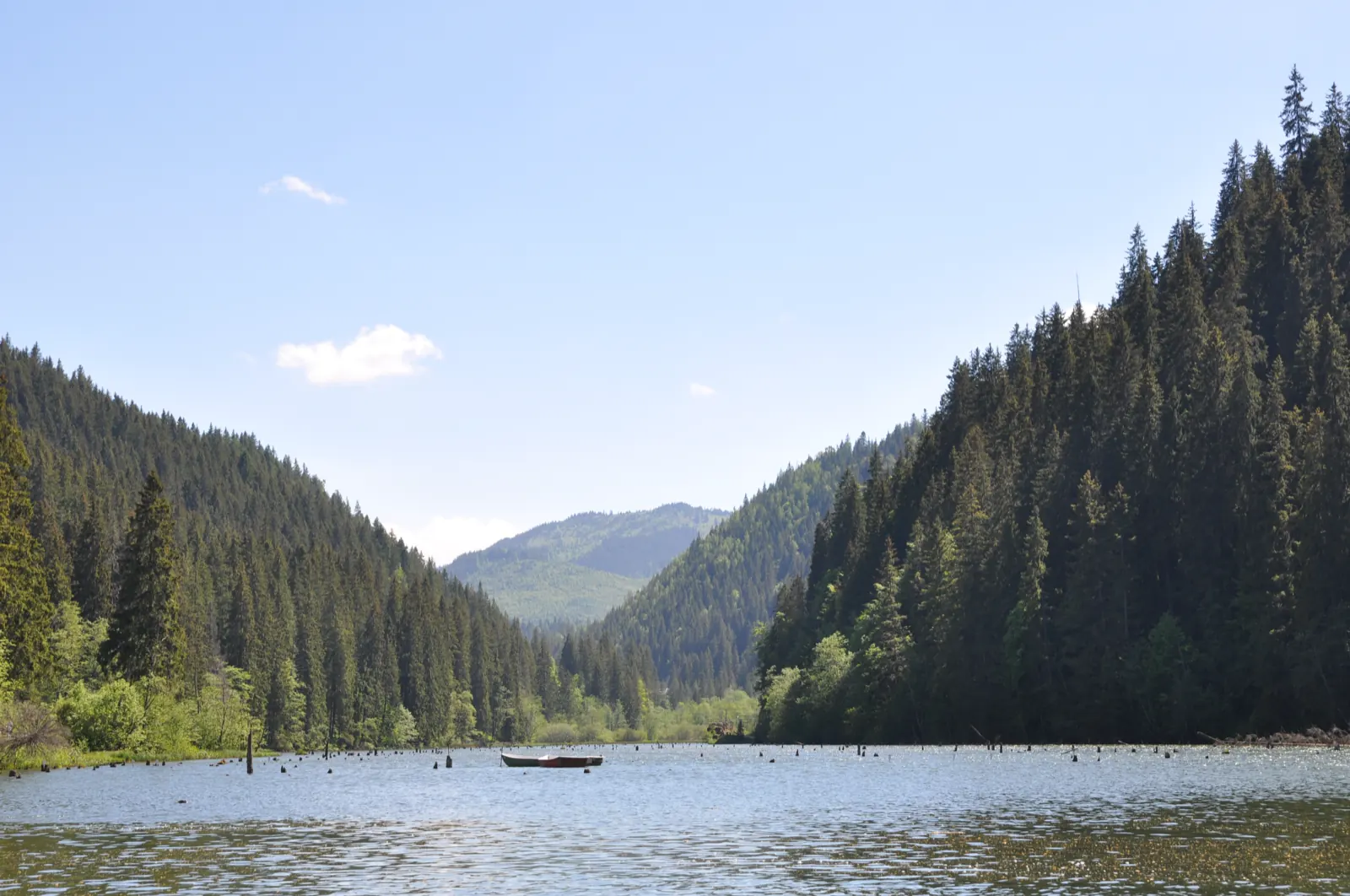
Trail 2: Red Lake – Stone Balcony – trout farm to landing stage
- Length
- 3.5 km
- Time
- 1 hour
- Difficulty
- Ascent
- 92 m
- Altitude
- 978–1016 m
- Waymark
- red cross
- Start
- Centrul stațiunii Lacu Roșu
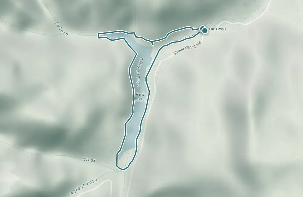
Route 2 is a circular walk from the center of the Lacu Roșu resort, via Balconul de Piatră, Drumul lui Márton Ferenc, the trout farm, and the pier.
The declared length is 3.5 km, and the duration is 1 hour.
Map of the route
 © OpenStreetMap · OpenFreeMap · EU-DEM / Copernicus
- The route
- Start
- 1Stops along the way
↑ 92 m↓ 94 m978–1016 m
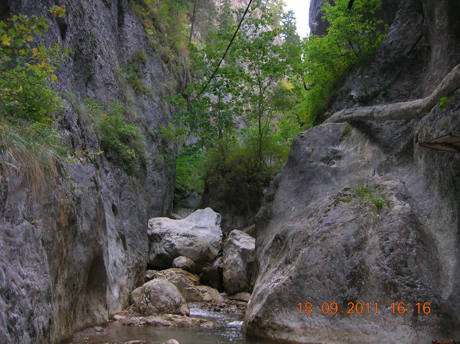
The stages
Stage 1
Centrul stațiunii Lacu Roșu
Stage 2
Balconul de Piatră (1007 m)
Stage 3
Drumul lui Márton Ferenc
Stage 4
Păstrăvărie (993 m)
Stage 5
Debarcader (983 m)
The pier is located on the lake shore.
Stage 6
Centrul stațiunii Lacu Roșu
Getting there
Access: The start is from the center of the Lacu Roșu resort, on DN 12C between Bicaz and Gheorgheni.
Before you set out
Easy walk; the declared elevation difference is 40 m.
- Emergencies
- 112
- Salvamont Neamț
- 0725 826 668
Stay near the start
Nearby


Other trails

Trail 7: Red Lake – Țifra Saddle to Bicaz Gorge
3.5 km1 hour↑ 133 m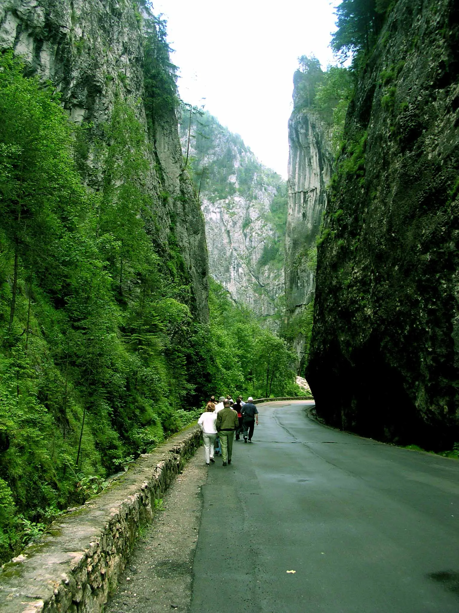
Șugău Gorge Reserve hike: Munticelu – Piatra Șugăului – Criminisul Peak
2.7 km↑ 1566 m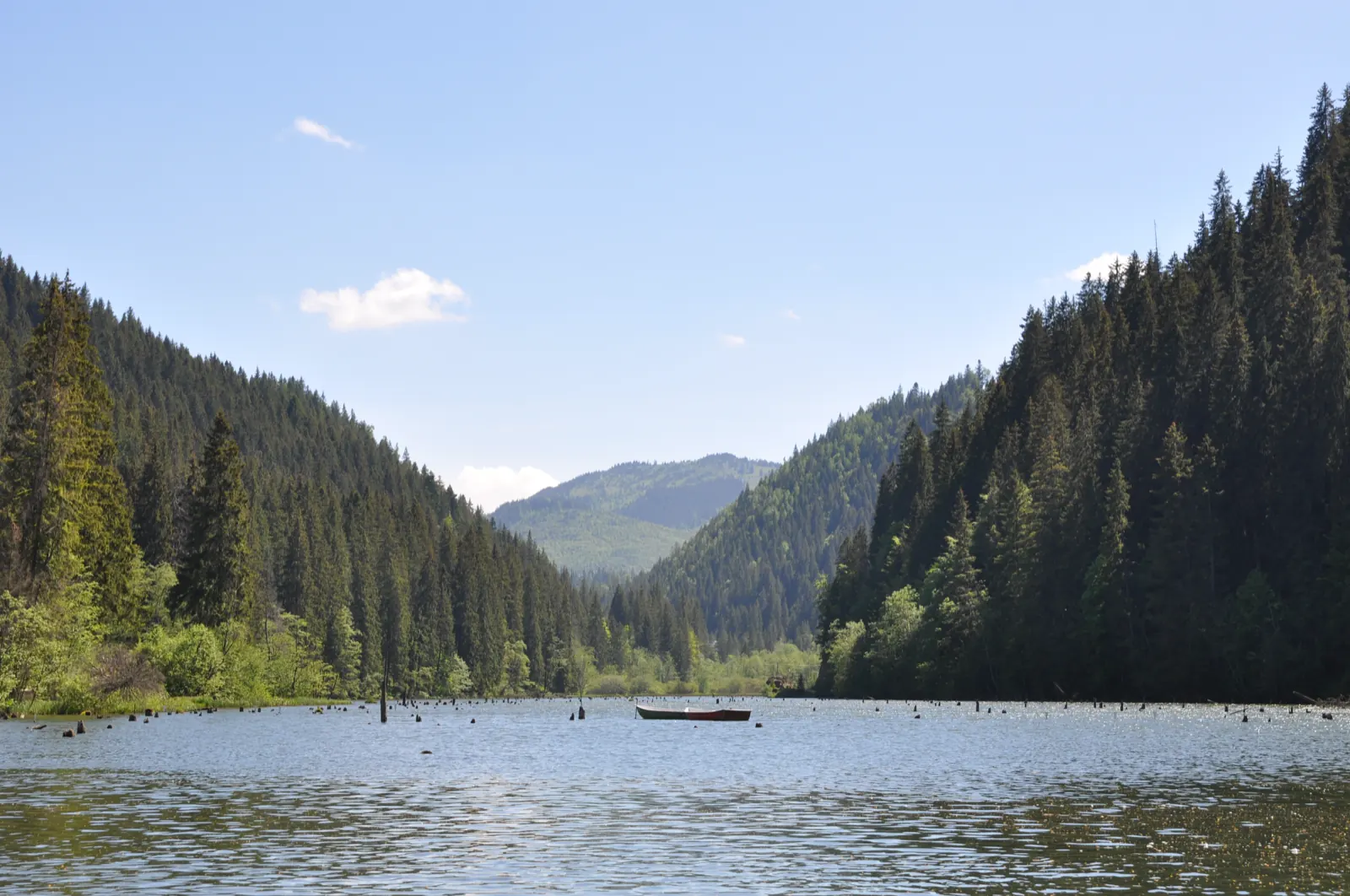
Trail 6: Cupaș mouth to Bicaz Gorge, km 29
3 km1 hour
Traseu Cheile Bicazului: Șaua Țifra – Lacul Roșu RO
3.5 km
Bicaz Chei – Bârnadu – Criminiș – Munticelu – Șugău Gorge
13.3 kmabout 7 hours in winter↑ 1191 m
Bicaz Chei – Bârnadu – Vithovoș Peak
25.11 km7–10 hours↑ 1252 m
Photo credits5
- Photo: Wikimedia Commons · CC BY-SA 4.0 (Lacul Roșu)
- Photo: Wikimedia Commons · CC BY-SA 3.0 (Șugău Gorge – Munticelu)
- Photo: Wikimedia Commons · CC BY-SA 3.0 (Bicaz Gorge (Cheile Bicazului–Hășmaș National Park))
- Photo: Wikimedia Commons · Public domain (Ceahlău National Park)
- Photo: Wikimedia Commons · Public domain (Duruitoarea Waterfall)


