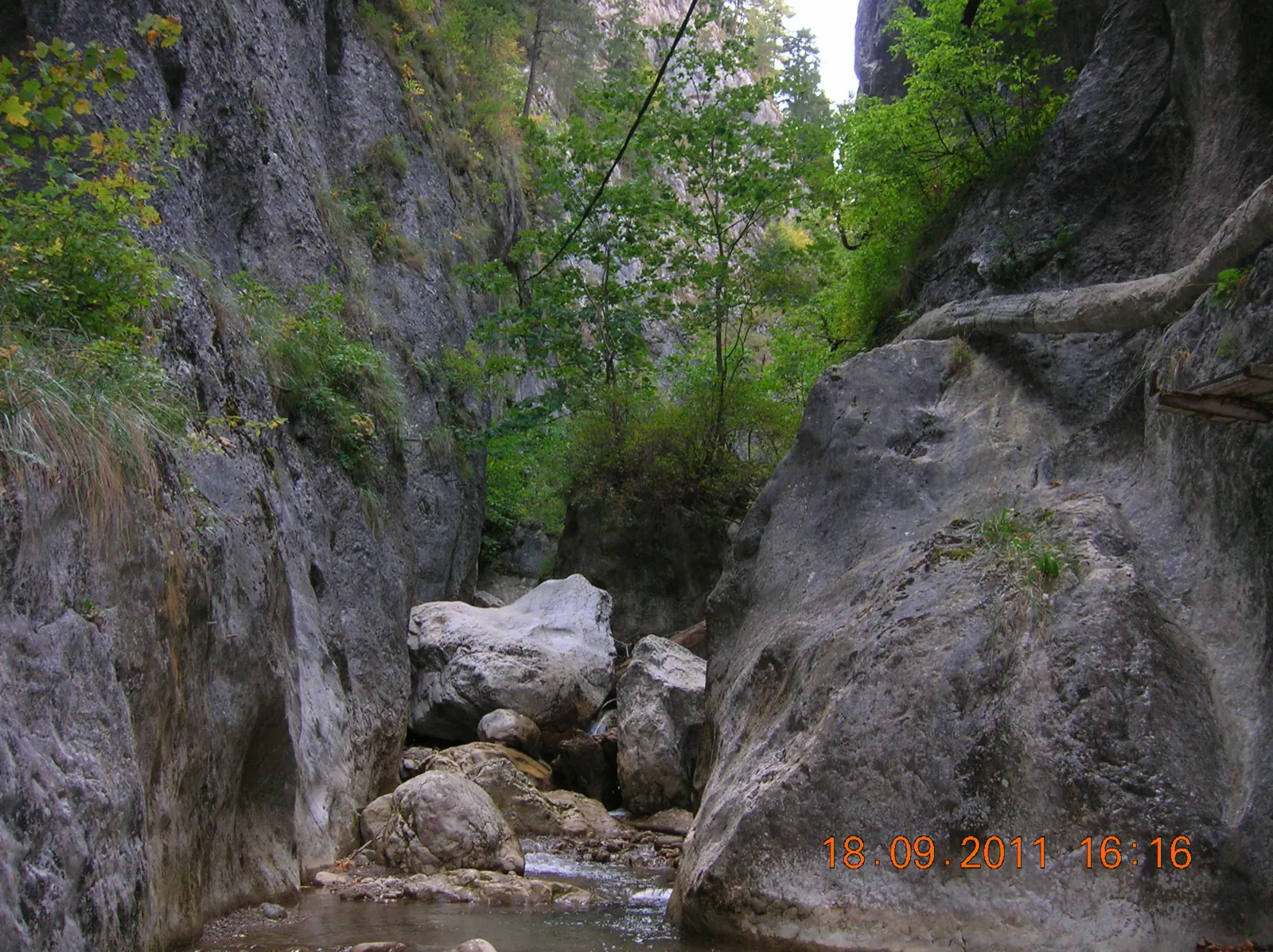
Șugău Gorge Reserve hike: Munticelu – Piatra Șugăului – Criminisul Peak
- Length
- 2.7 km
- Difficulty
- Ascent
- 1566 m
- Descent
- 306 m
- Altitude
- 715–1365 m
- Waymark
- Unmarked trail, on paths worn by shepherds
- Start
- Poarta de lemn a Rezervației Cheile Șugăului – Munticelu
- Finish
- Poarta de lemn a Rezervației Cheile Șugăului – Munticelu
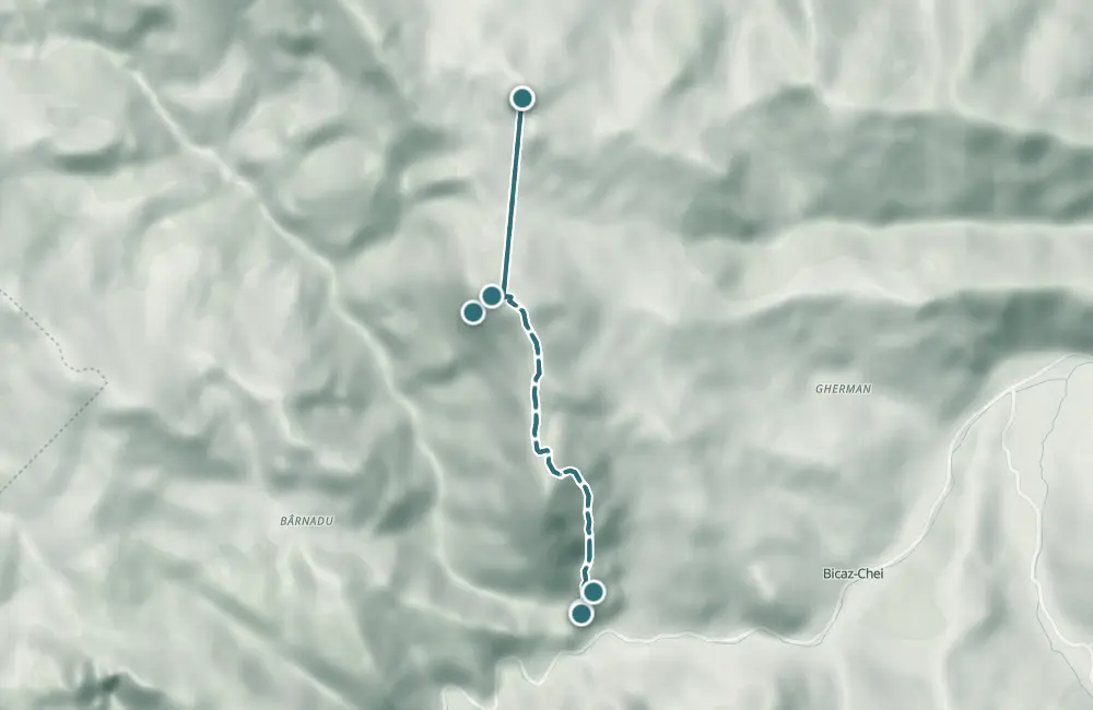
The unmarked trail starts at the wooden gate of the Cheile Șugăului – Munticelu Reserve, climbs past Cabana Ecolog and Piatra Șugăului, and reaches Vârful Criminișul at 1,373 m. The return is on the same path.
From Cabana Ecolog, the unmarked path climbs through the gully with scree. The Piatra Glodului ridge remains on the right; in the upper part of the gully, the crack at the entrance to Peștera Tunel is visible. The path then passes through the forest on the Munticelu slope, where the climb becomes steeper.
At Piatra Șugăului, the view opens toward Valea Șugăului, the village of Bârnadu, and Vârful Ciurgaului. Higher up, the path climbs through grassland, along the forest edge, toward the ridge between Munticelu and Piatra Șugăului. Ceahlăul, Criminiș, Danciu, Higheș, and Vârful Măgura in the Bistrița Mountains are visible before the final climb to Vârful Criminișul.
Map of the route
 © OpenStreetMap · OpenFreeMap · EU-DEM / Copernicus
- The route
- Start
- Finish
- 1Stops along the way
↑ 1566 m↓ 306 m715–1365 m

The stages
Stage 1
The wooden gate of the Cheile Șugăului Reserve – Munticelu
The entrance to the reserve and the starting point of the trail, at the entrance to Cheile Bicazului.
Stage 2
Chalet Ecolog
From here you can see the forest on Munticelu, the small valley with scree, and the road in Cheile Bicazului.
Stage 3
Creasta Piatra Glodului
The ridge remains to the right of the path that climbs up from Cabana Ecolog.
Stage 4
Intrarea în Peștera Tunel
The crack at the entrance to the cave is visible in the upper part of the small valley, on the right side, in the ridge of Piatra Glodului.
Stage 5
Piatra Șugăului
Viewpoint towards Valea Șugăului, the village of Bârnadu, and Vârful Ciurgaului.
Stage 6
Peak Criminișul (1.373 m)
The peak offers views of the surrounding rock cliffs and is the end of the climb, before returning along the same path.
Getting there
Access: The entrance to the reserve is marked by a wooden gate, at the entrance to Cheile Bicazului, on the right side, from DN12C.
Before you set out
The trail is unmarked; the climb through the scree gully and the steep forest section require attention.
The paths are described as easy to follow, but the climb through the scree becomes steep, and the section toward Piatra Șugăului is more difficult.
- Emergencies
- 112
- Salvamont Neamț
- 0725 826 668
Stay near the start
Nearby

Other trails
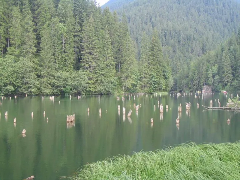
Trail 2: Red Lake – Stone Balcony – trout farm to landing stage
3.5 km1 hour↑ 92 m
Trail 7: Red Lake – Țifra Saddle to Bicaz Gorge
3.5 km1 hour↑ 133 m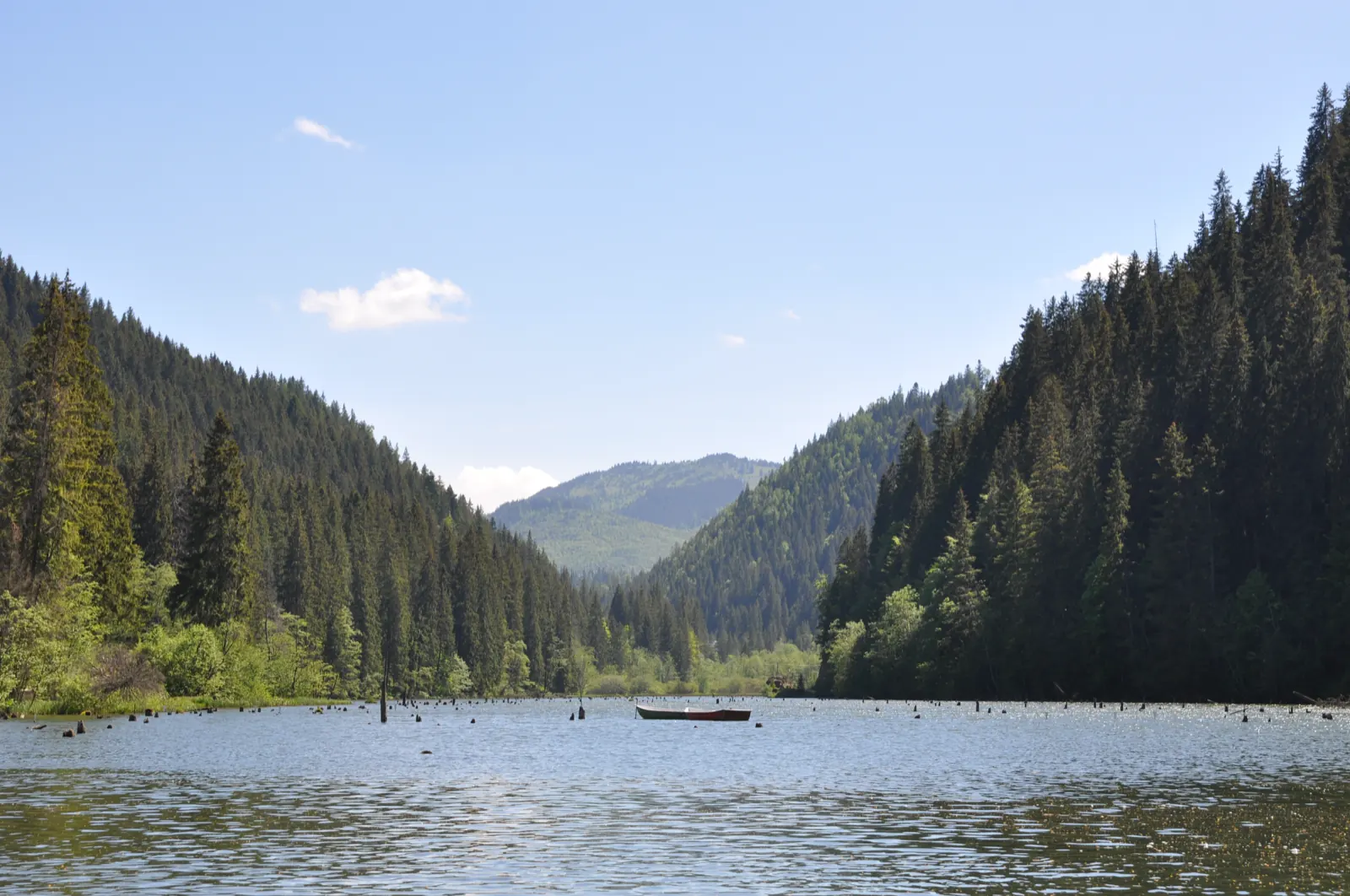
Trail 6: Cupaș mouth to Bicaz Gorge, km 29
3 km1 hour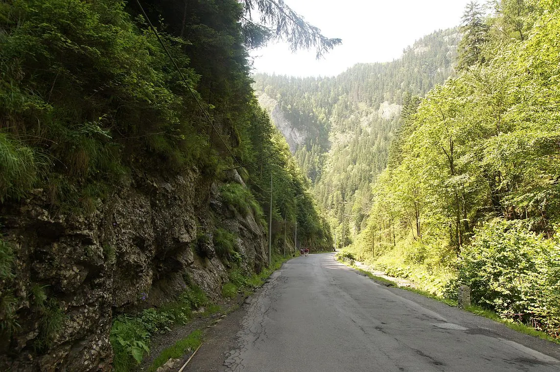
Traseu Cheile Bicazului: Șaua Țifra – Lacul Roșu RO
3.5 km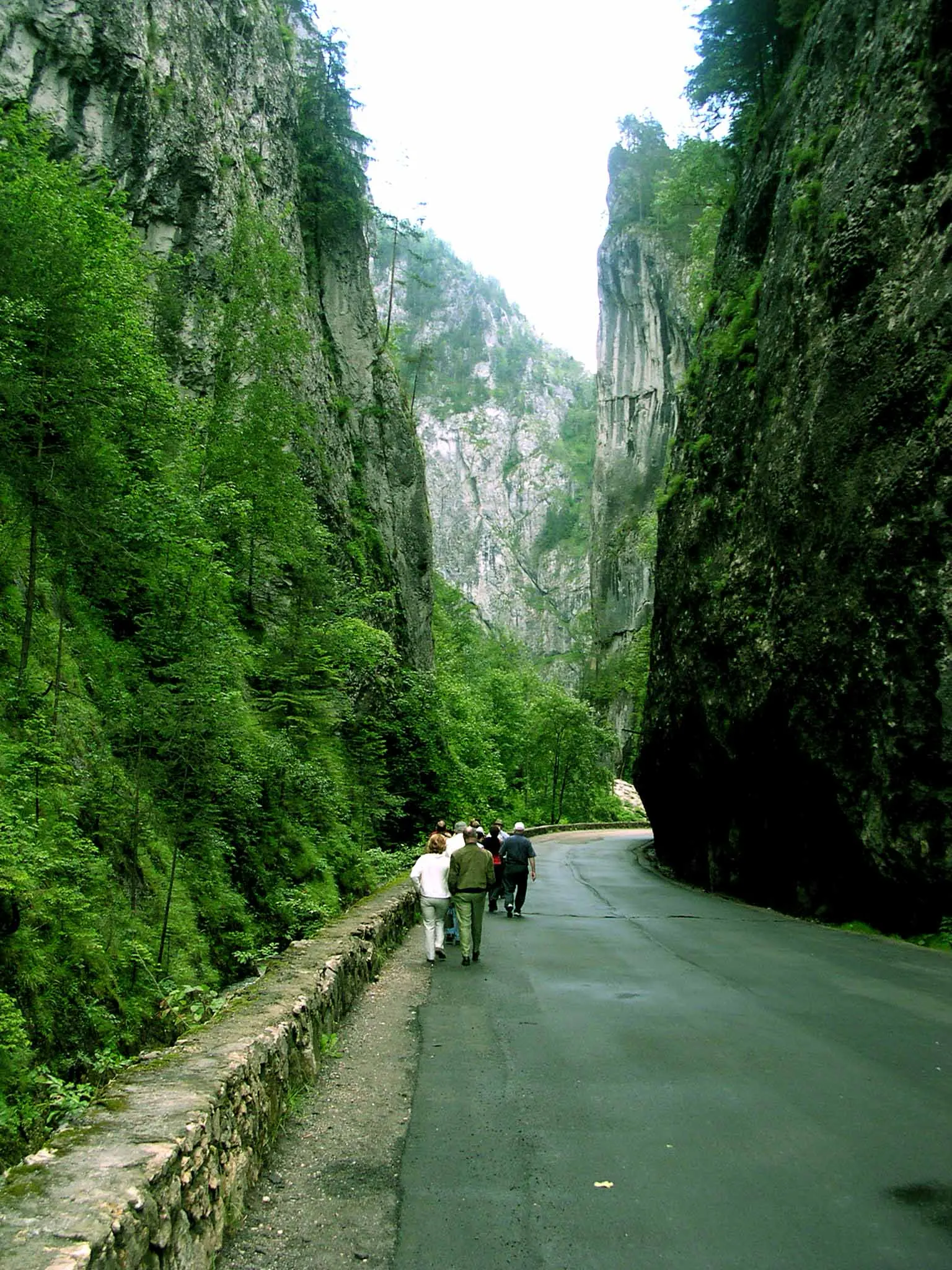
Bicaz Chei – Bârnadu – Criminiș – Munticelu – Șugău Gorge
13.3 kmabout 7 hours in winter↑ 1191 m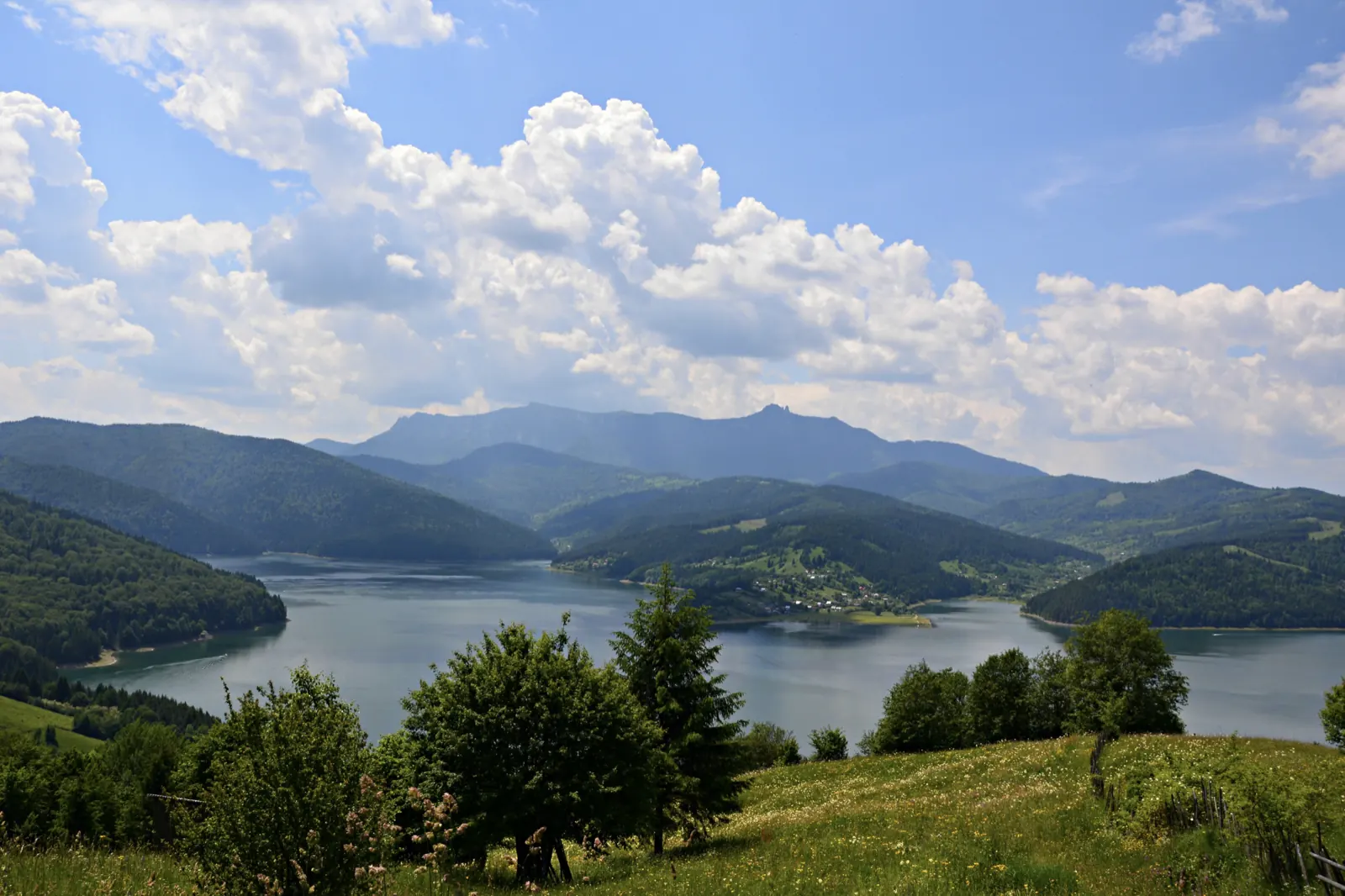
Bicaz Chei – Bârnadu – Vithovoș Peak
25.11 km7–10 hours↑ 1252 m
Photo credits4
- Photo: Wikimedia Commons · CC BY-SA 3.0 (Șugău Gorge – Munticelu)
- Photo: Wikimedia Commons · Public domain (Ceahlău National Park)
- Photo: Wikimedia Commons · CC BY-SA 3.0 (Bicaz Gorge (Cheile Bicazului–Hășmaș National Park))
- Photo: Wikimedia Commons · Public domain (Duruitoarea Waterfall)


