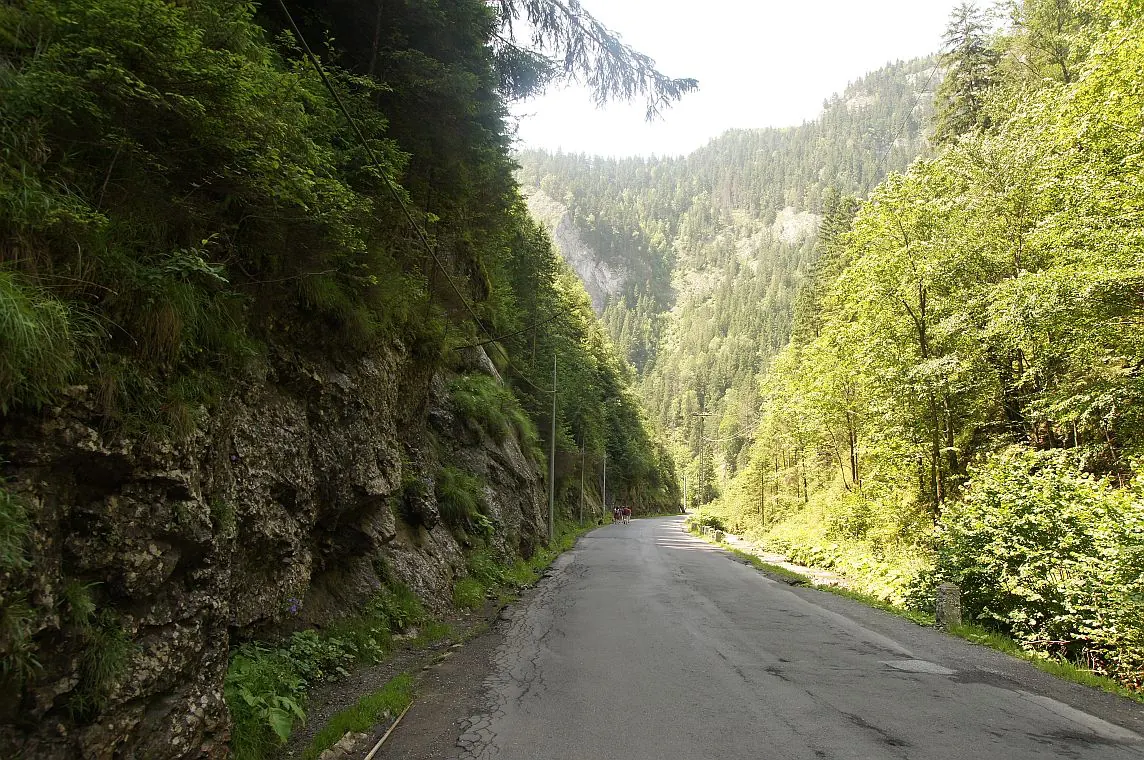
Bicaz Chei – Bârnadu – Vithovoș Peak
- Length
- 25.1 km
- Time
- 7–10 hours
- Difficulty
- Ascent
- 1252 m
- Altitude
- 675–1537 m
- Start
- Bicaz Chei
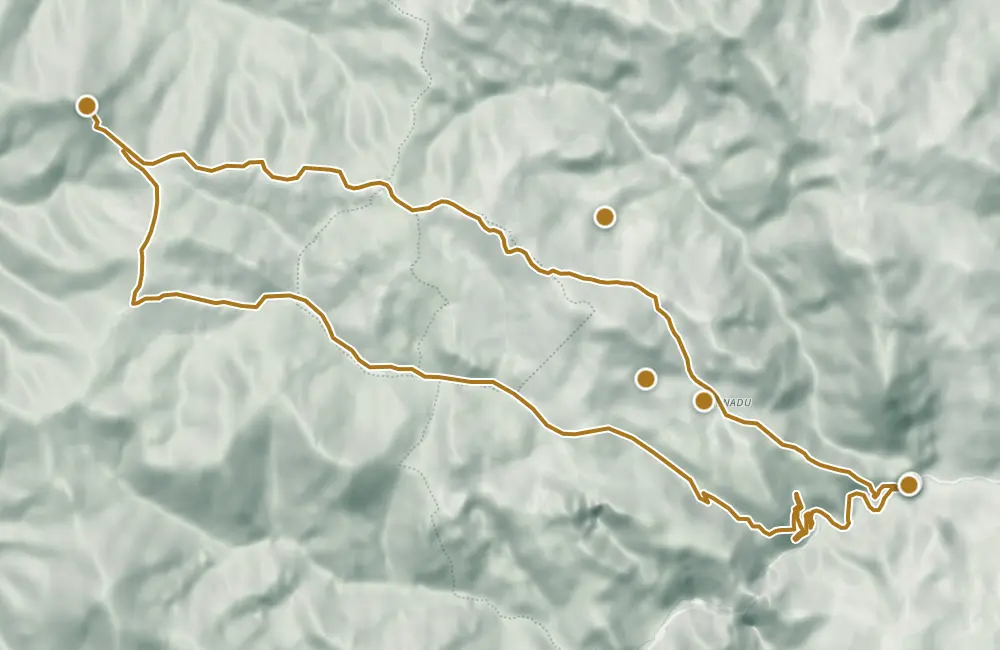
Hiking circuit from Bicaz Chei through Bârnadu, past the Ciurgău and Lăpoș peaks, up to Vithovoș Peak. The return descends past the Lăpoșului stream and Canyon toward the entrance to the gorge. The measured length of the circuit is 25.11 km; the description indicates 7–10 hours.
From the ridge after Poarta Lăpoșului, Ceahlăul and Higheș Peak are visible. The description mentions approximately 12 km to Vithovoș Peak.
Map of the route
 © OpenStreetMap · OpenFreeMap · EU-DEM / Copernicus
- The route
- Start
- 1Stops along the way
↑ 1252 m↓ 1136 m675–1537 m

The stages
Stage 1
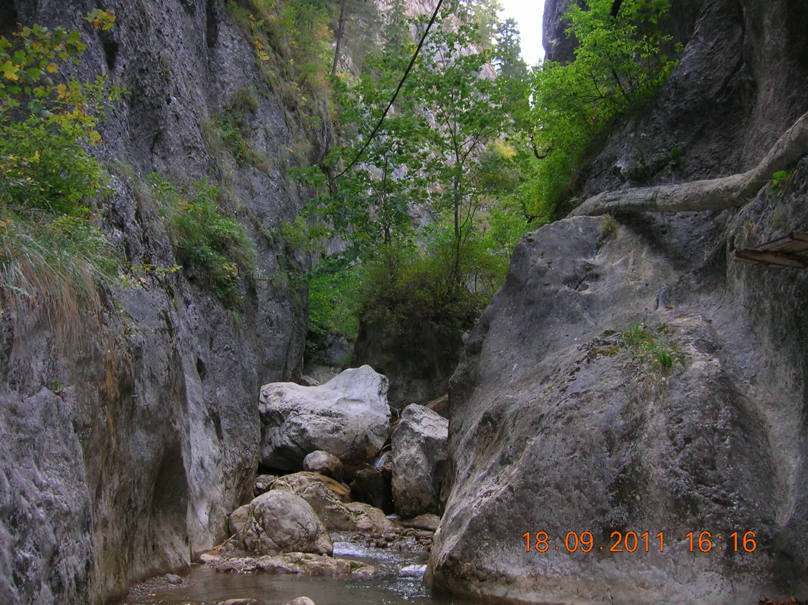
Station at the entrance to the gorge, Bicaz Chei
Stage 2
Bârnadu
The village and the church in Bârnadu.
Stage 3
Peak Ciurgău
The trail bypasses the 1,412 m peak without crossing over it.
Stage 4
Muntele Jidanului
The mountain remains to the right of the alpine cirque.
Stage 5
Peak Lăpoș (1437 m)
Stage 6
Stână
Stage 7
Poarta Lăpoșului
Beyond the sheepfold, the trail climbs toward the ridge with views of Ceahlău and Vârful Higheș.
Stage 8
Șaua Vithovoș
Stage 9
Peak Vithovoș
The farthest point of the excursion; the return descends toward a forest road.
Stage 10
Pârâul Lăpoș
Stage 12
Piatra Altarului
Stage 13
Înapoi la intrarea în chei
Getting there
Access: Reach by bus to the station at the entrance to the gorge, in Bicaz Chei. The trail starts behind the houses from the road, through forest and hayfields, toward Bârnadu.
Before you set out
At the sheepfold, near the dogs, greet the shepherd and do not run. Between the peak and the return trail, there is a gap of a few hundred meters in the cartographic route.
Difficult trail, described for 7–10 hours.
- Emergencies
- 112
- Salvamont Neamț
- 0725 826 668
Stay near the start
Nearby

Other trails
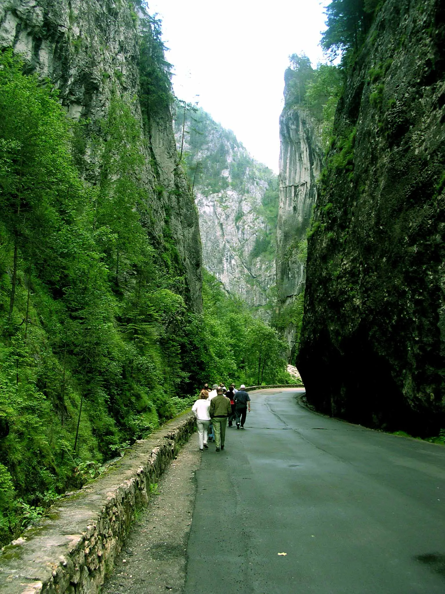
Bicaz Chei – Bârnadu – Criminiș – Munticelu – Șugău Gorge
13.3 kmabout 7 hours in winter↑ 1191 m
Ceahlău: Bicazu Ardelean - Telec - Stănile Saddle - Dochia Hut (blue stripe)
17 km7–8 hours↑ 1257 m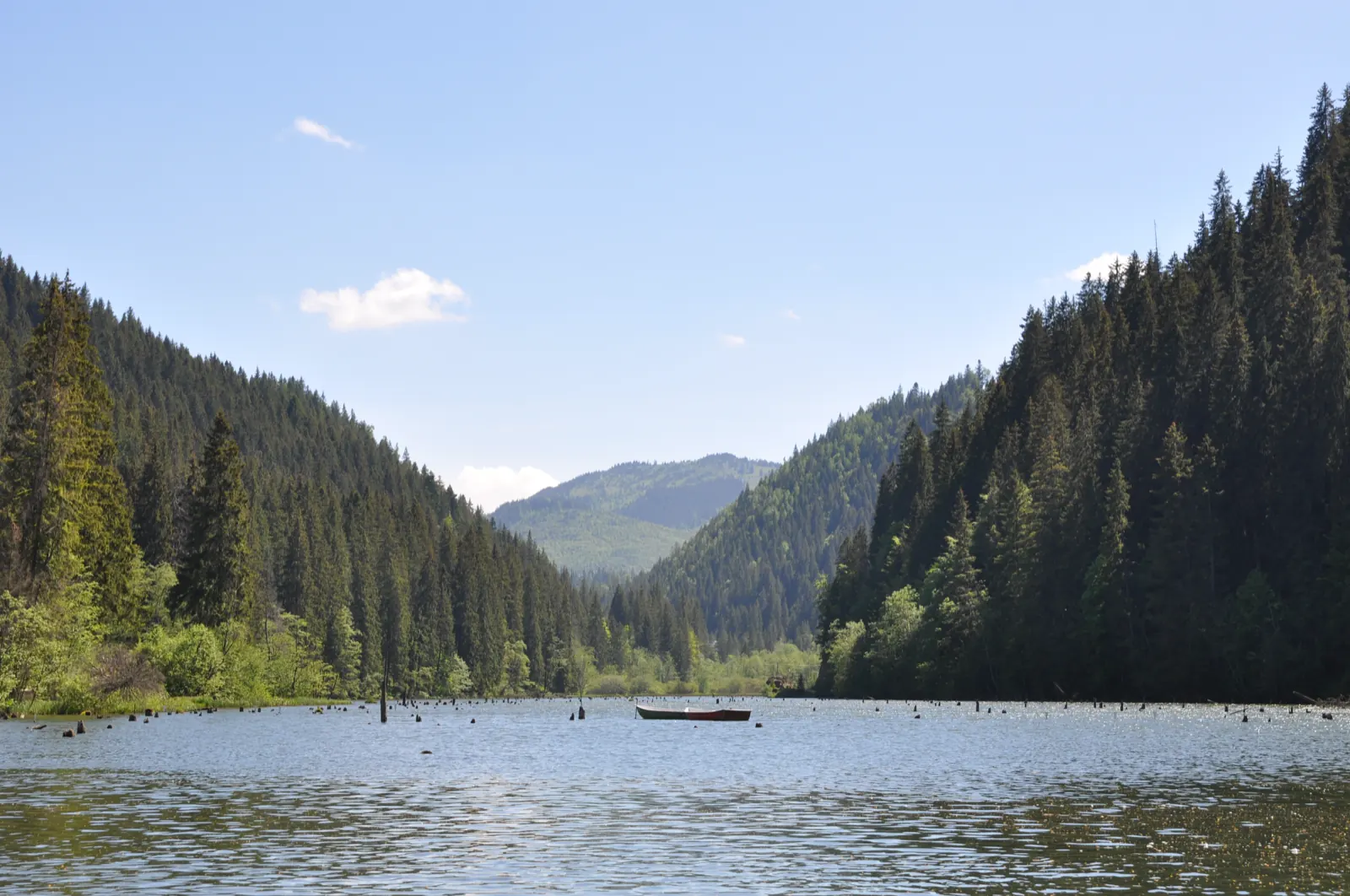
Trail 1: Pângărați Pass – Piatra Singuratică Hut to Tarcău Saddle
22 km8 hours↑ 888 m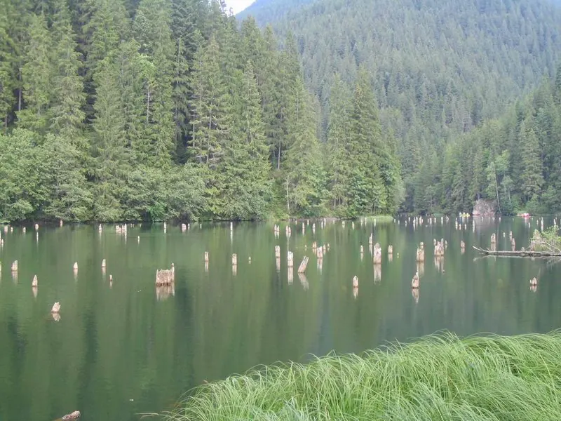
Trail 10: Red Lake – Piatra Licoș to Licaș pothole
6 km4 hours↑ 712 m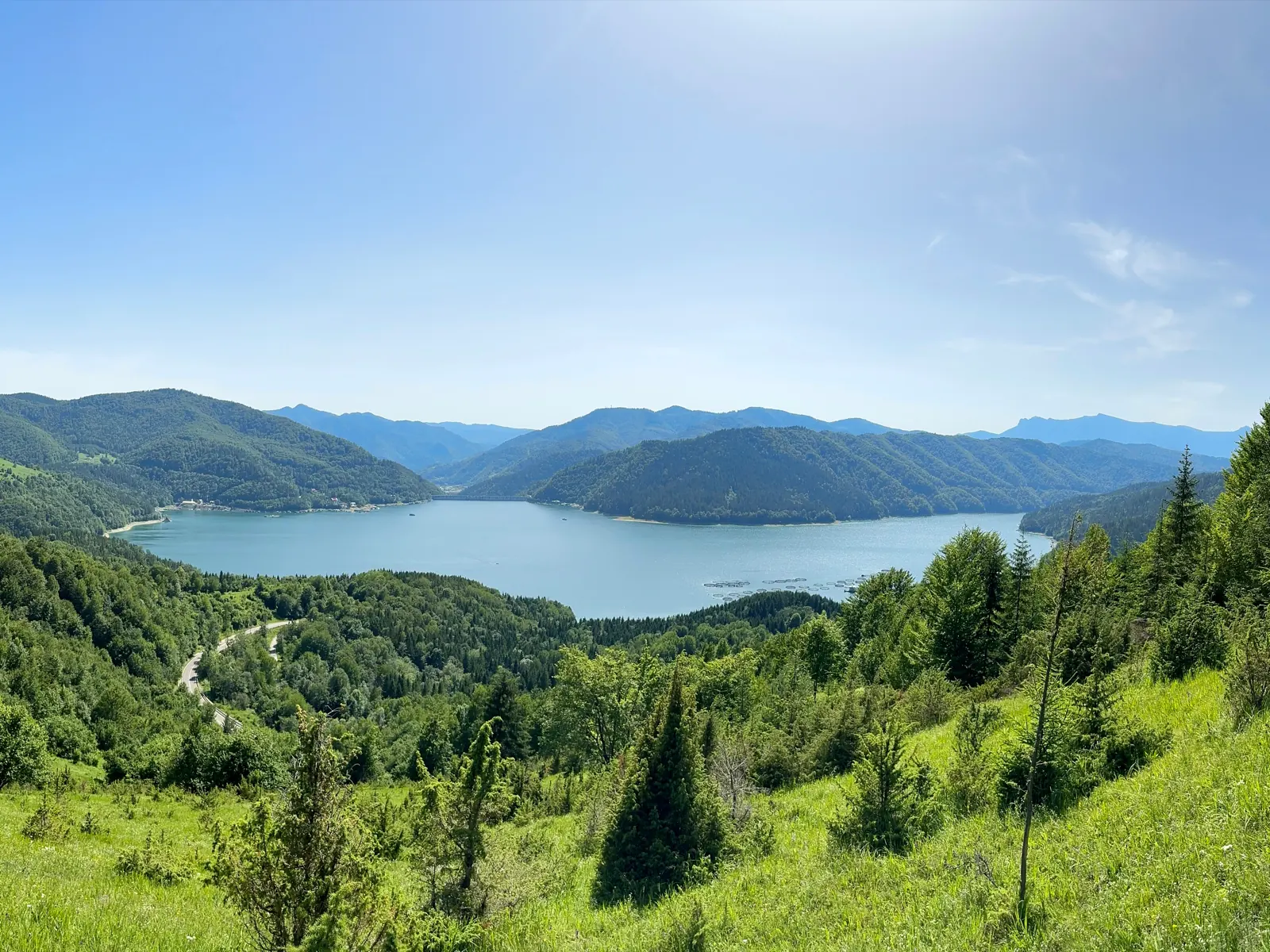
Trail 14: Bicaz Gorge to La Vincli Meadow
8.5 km4–5 hours↑ 870 m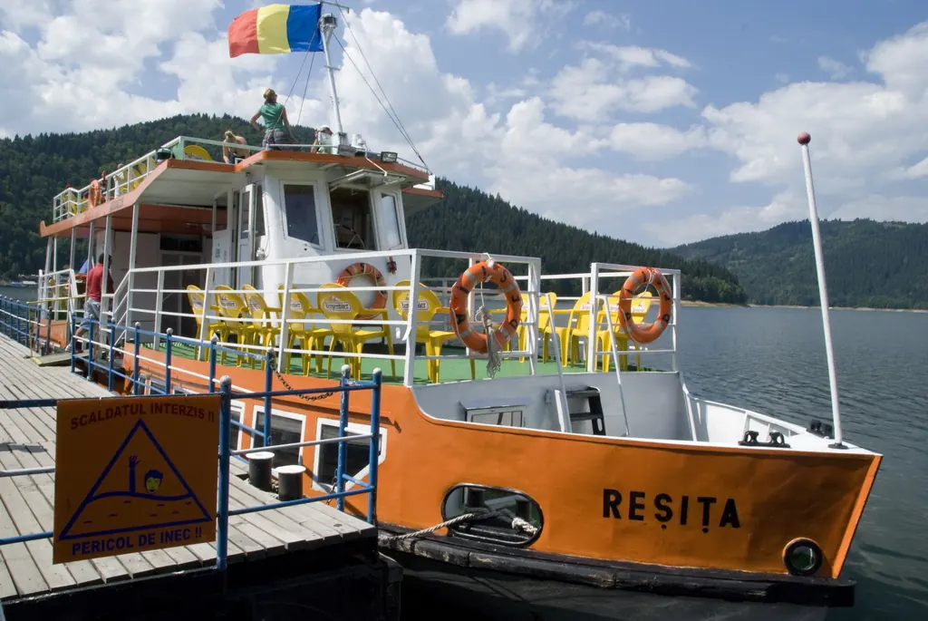
Trail 8: Landing stage – Piatra Cherecului to Poiana Albă
10 km4 hours and 30 minutes↑ 760 m
Photo credits5
- Photo: Wikimedia Commons · CC BY-SA 3.0 (Bicaz Gorge (Cheile Bicazului–Hășmaș National Park))
- Photo: Wikimedia Commons · CC BY-SA 3.0 (Șugău Gorge – Munticelu)
- Photo: Wikimedia Commons · Public domain (Ceahlău National Park)
- Photo: Wikimedia Commons · CC BY-SA 3.0 (Bicaz Gorge (Cheile Bicazului–Hășmaș National Park))
- Photo: Wikimedia Commons · Public domain (Duruitoarea Waterfall)


