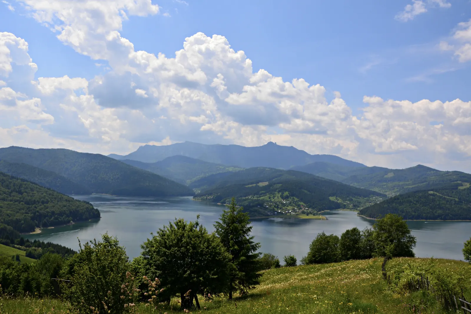
Ceahlău: Bicazu Ardelean - Telec - Stănile Saddle - Dochia Hut (blue stripe)
- Length
- 17 km
- Time
- 7–8 hours
- Difficulty
- Ascent
- 1257 m
- Descent
- 65 m
- Altitude
- 569–1783 m
- Waymark
- blue stripe
- Season
- All year round; in winter with equipment
- Start
- Bicazu Ardelean
- Finish
- Cabana Dochia
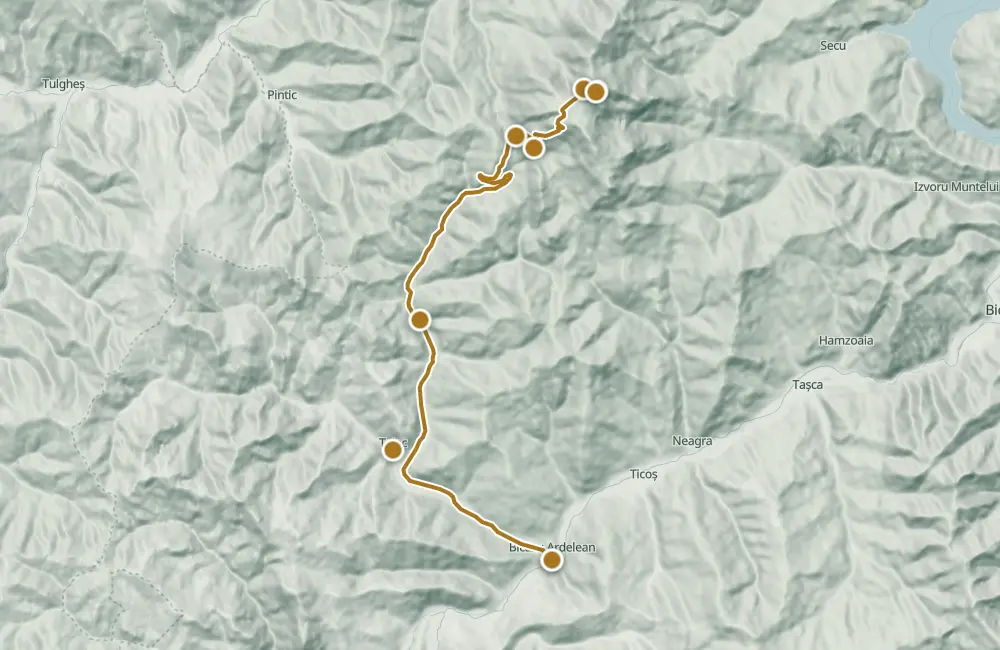
The route climbs from Bicazu Ardelean through Telec, the Bistra valley, and Curmătura Stănile up to Cabana Dochia, on the southwestern slope of Ceahlău. It is marked with a blue stripe; the route is 17 km and takes 7–8 hours of walking.
From Telec, the road follows the Bistra valley toward the confluence of Bistra Mare with Bistra Mică and Poiana Stănile, where Schitul Sfântul Antonie is located. From the hermitage area, a forest road continues, then the path climbs toward the Ceahlău plateau.
From Curmătura Stănilelor, the edge of Ocolașul Mare, the jgheaburi, and Turnul lui Budu are visible. Toward Cabana Dochia, the path passes through juniper scrub and beside Schitul Schimbarea la Față; from the plateau, Vârful Toaca and Bâtca Ghedeon are visible.
Map of the route
 © OpenStreetMap · OpenFreeMap · EU-DEM / Copernicus
- The route
- Start
- Finish
- 1Stops along the way
↑ 1257 m↓ 65 m569–1783 m
The stages
Stage 1
Bicazu Ardelean
You can visit the wooden church dedicated to Saint Dumitru, a historical monument with original interior paintings. Road: asphalt road
Stage 2
Telec
Here is the wooden church of the Elevation of the Holy Cross, built in 1880 and listed as a historical monument. Road: communal road along the Bistra Valley
Stage 3
Confluența Bistrelor
Nearby, in Poiana Stănile, is the Skit of Saint Antonie, with a source of drinking water and places for accommodation and camping.

Stage 4
Curmătura La Scaune
Here an archaeological site was discovered and an orientation pillar is located.
Stage 5
Curmătura Stănile
From here, the panorama opens towards the ridge of Ocolașul Mare, Turnul lui Budu, and Poienile Stănilelor. A sign indicates the direction to Cabana Dochia.
Stage 6
Chalet Dochia
The final point of the ascent; nearby is the Schitul Schimbarea la Față, and on the plateau, Vârful Toaca and Bâtca Ghedeon are visible.
Getting there
Access: Start from Bicazu Ardelean; to Telec it is about 4.5 km on asphalt road. From Telec, follow the communal road along the Bistra valley, then the forest road towards Poiana Stănile; a large part of this road can be covered with a 4×4 vehicle.
Travel: 4×4 access only reaches the end of the forest road; from there the climb continues on the path.
Before you set out
Beware of adders in the juniper area; do not touch them. Stay on the marked trails.
High difficulty level; the trail is long.
- Emergencies
- 112
- Salvamont Neamț
- 0725 826 668
Stay near the start
Nearby

Other trails
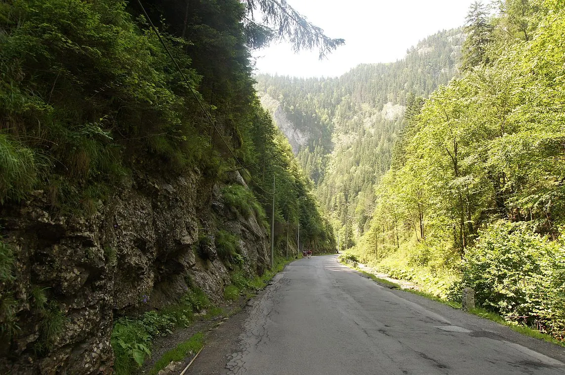
Bicaz Chei – Bârnadu – Criminiș – Munticelu – Șugău Gorge
13.3 kmabout 7 hours in winter↑ 1191 m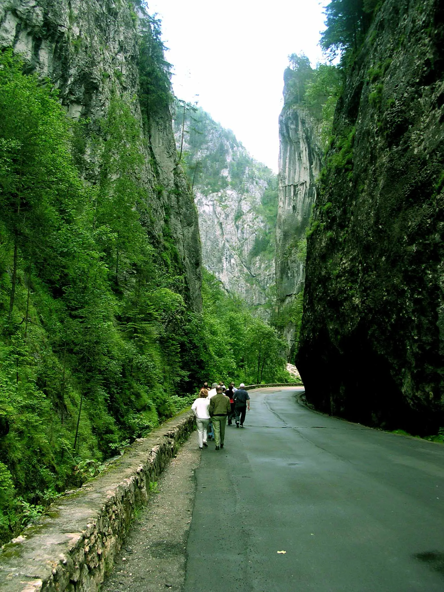
Bicaz Chei – Bârnadu – Vithovoș Peak
25.11 km7–10 hours↑ 1252 m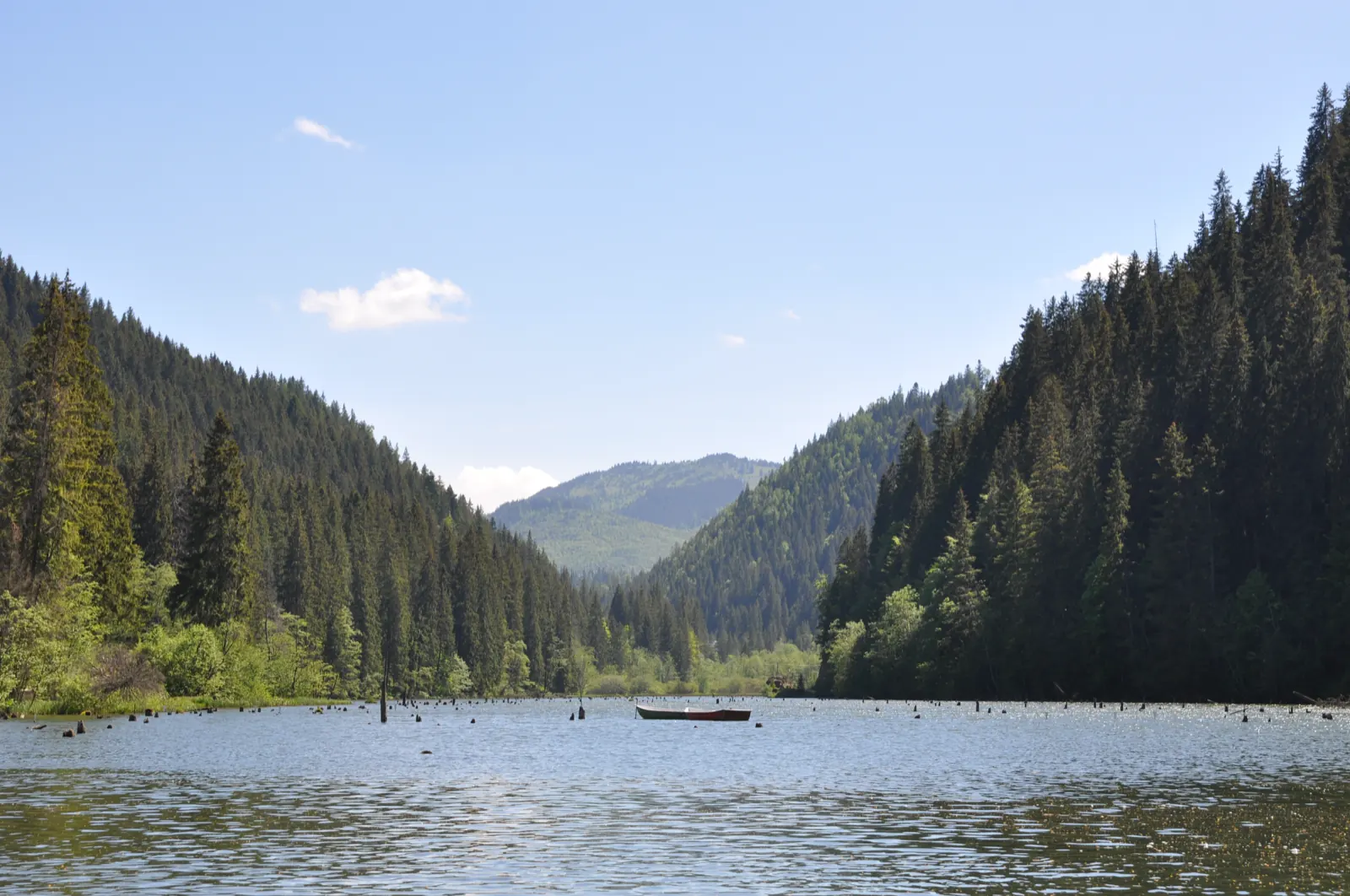
Trail 1: Pângărați Pass – Piatra Singuratică Hut to Tarcău Saddle
22 km8 hours↑ 888 m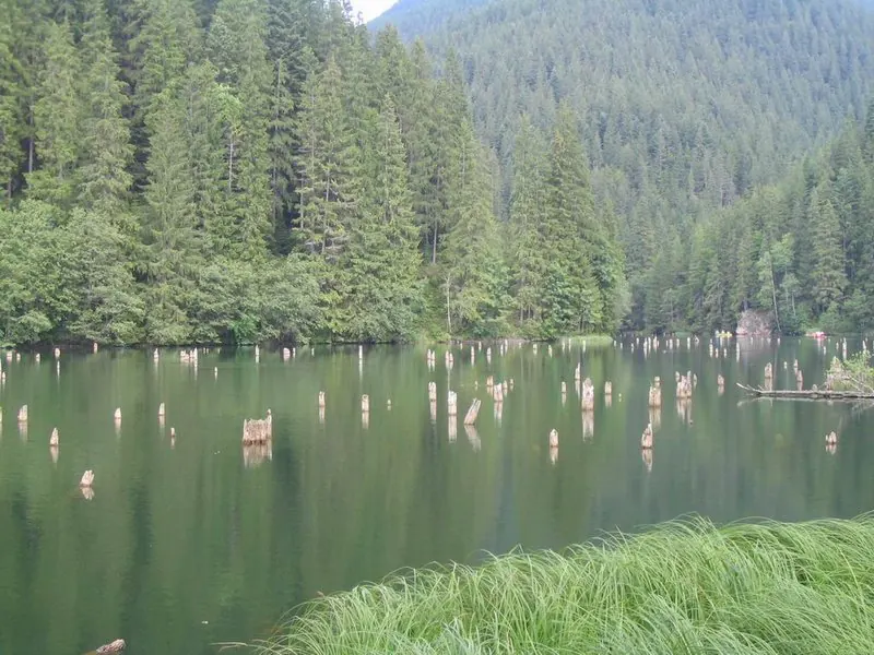
Trail 10: Red Lake – Piatra Licoș to Licaș pothole
6 km4 hours↑ 712 m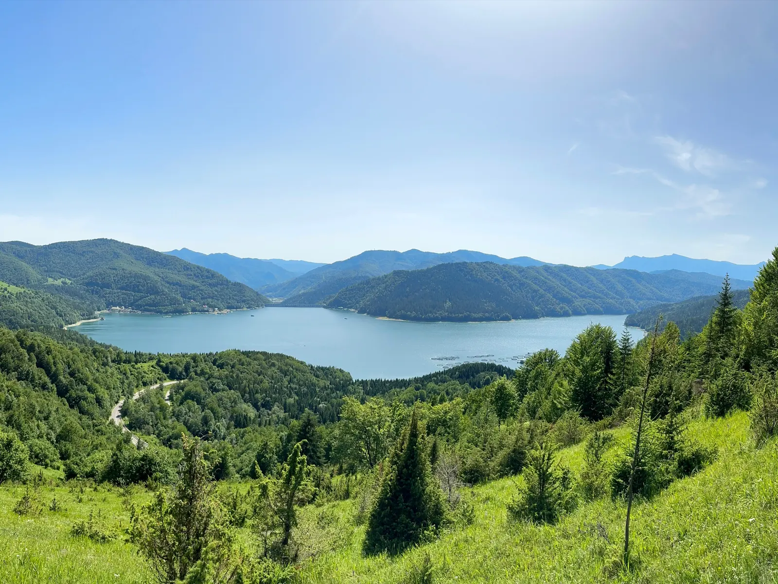
Trail 14: Bicaz Gorge to La Vincli Meadow
8.5 km4–5 hours↑ 870 m
Trail 8: Landing stage – Piatra Cherecului to Poiana Albă
10 km4 hours and 30 minutes↑ 760 m
Photo credits5
- Photo: Wikimedia Commons · CC BY-SA 3.0 (Lake Izvorul Muntelui under clouds)
- Photo: Wikimedia Commons · Public domain (Ceahlău National Park)
- Photo: Wikimedia Commons · CC BY-SA 3.0 (Șugău Gorge – Munticelu)
- Photo: Wikimedia Commons · CC BY-SA 3.0 (Bicaz Gorge (Cheile Bicazului–Hășmaș National Park))
- Photo: Wikimedia Commons · Public domain (Duruitoarea Waterfall)


