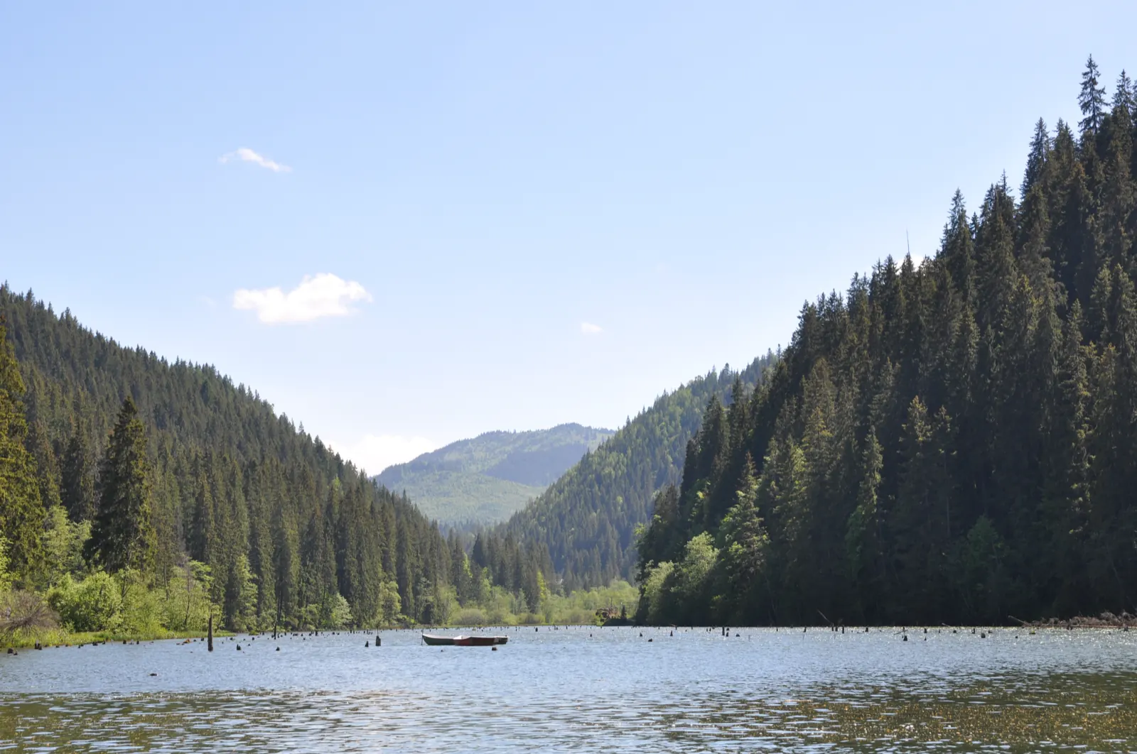
Trail 1: Pângărați Pass – Piatra Singuratică Hut to Tarcău Saddle
- Length
- 22 km
- Time
- 8 hours
- Difficulty
- Ascent
- 888 m
- Descent
- 842 m
- Altitude
- 1253–1680 m
- Waymark
- Red line
- Start
- Pasul Pângărați
- Finish
- Șaua Tarcăului
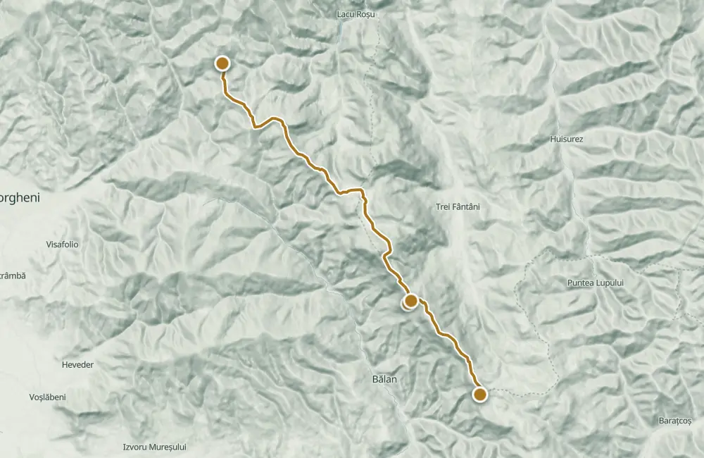
Route 1 follows the ridge from Pângărați Pass, through clearings and saddles, past Piatra Singuratică Chalet, up to Tarcău Saddle. It is 22 km, takes approximately 8 hours, and is marked with a red line.
The itinerary passes through Loduj Saddle, Mediaș Peak, Poiana Vârfului Calului, Poiana Ciofronca, Poiana Albă, Curmătura Ecem, and Tarcău Peak. At Piatra Singuratică, an ice cave is also indicated.
The route is presented for the warm season; in winter it is difficult.
Map of the route
 © OpenStreetMap · OpenFreeMap · EU-DEM / Copernicus
- The route
- Start
- Finish
- 1Stops along the way
↑ 888 m↓ 842 m1253–1680 m
The stages
Stage 1
Pasul Pângărați (1255 m)
Stage 2
Șaua Loduj (1325 m)
Stage 3
Peak Mediaș (1445 m)
Stage 4
Poiana Vârfului Calului (1500 m)
Stage 5
Poiana Ciofronca (1550 m)
Stage 6
La Tunzerie (1435 m)
Stage 7
Tourist intersection at Poiana Albă (1460 m)
Stage 8
Poiana Albă (1500 m)
Stage 9
Curmătura (1650 m)
Stage 10
Șaua Curmătura (1465 m)
Stage 11
Chalet Piatra Singuratică
Stage 12
Piatra Singuratică
At the same point, the Ice Cave in Piatra Singuratică is also indicated.
Stage 13
Curmătura Ecem (1628 m)
Stage 14
Peak Ecem (1690 m)
Stage 15
Șaua Lic (1525 m)
Stage 16
Peak Tarcău (1418 m)
Stage 17
Șaua Tarcăului (1297 m)
Getting there
Access: The trail starts at Pângărați Pass, at 1255 m, and ends at Tarcău Saddle.
Before you set out
In winter, it is recommended to split the route into two stages.
In winter, it is difficult to traverse.
- Emergencies
- 112
- Salvamont Neamț
- 0725 826 668
Nearby


Other trails
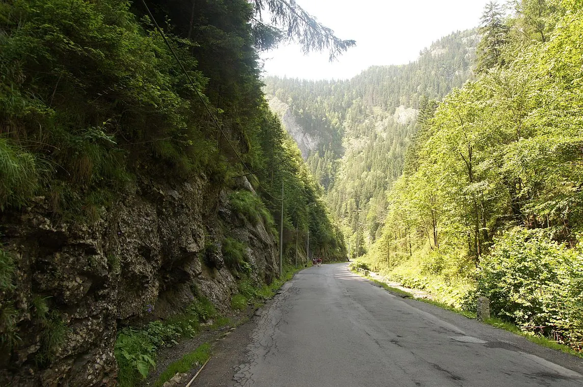
Bicaz Chei – Bârnadu – Criminiș – Munticelu – Șugău Gorge
13.3 kmabout 7 hours in winter↑ 1191 m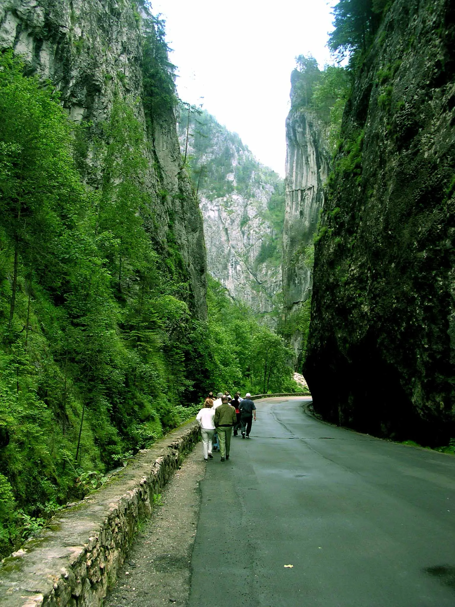
Bicaz Chei – Bârnadu – Vithovoș Peak
25.11 km7–10 hours↑ 1252 m
Ceahlău: Bicazu Ardelean - Telec - Stănile Saddle - Dochia Hut (blue stripe)
17 km7–8 hours↑ 1257 m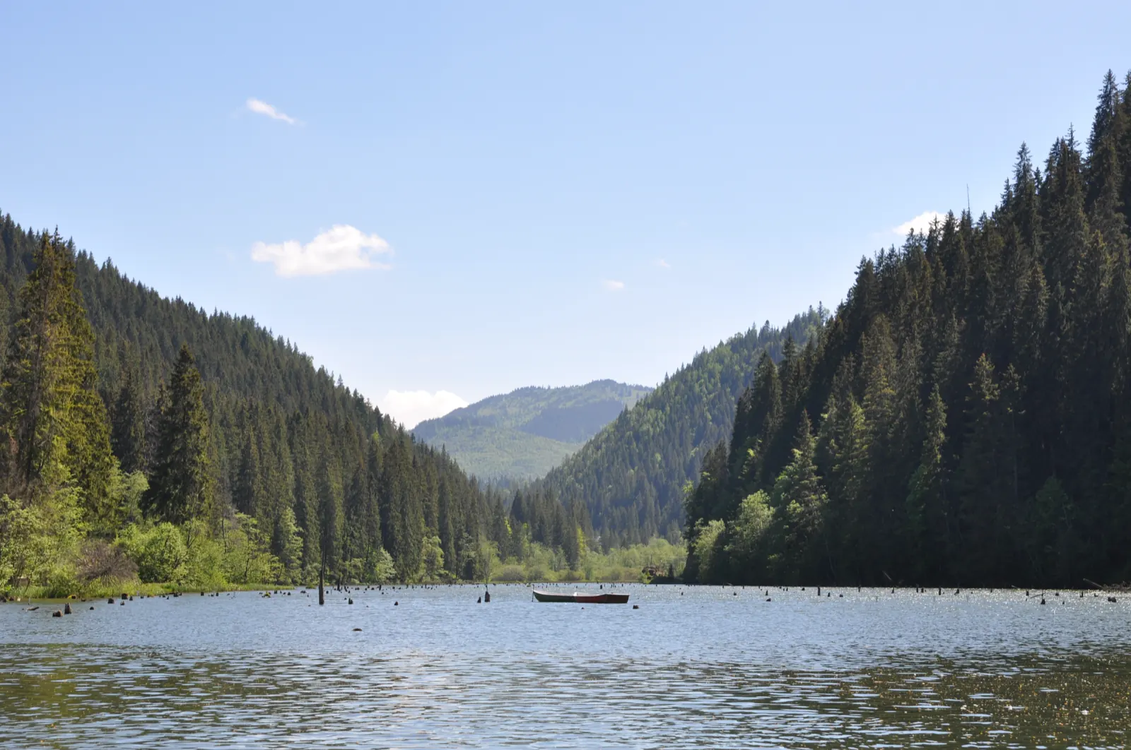
Trail 10: Red Lake – Piatra Licoș to Licaș pothole
6 km4 hours↑ 712 m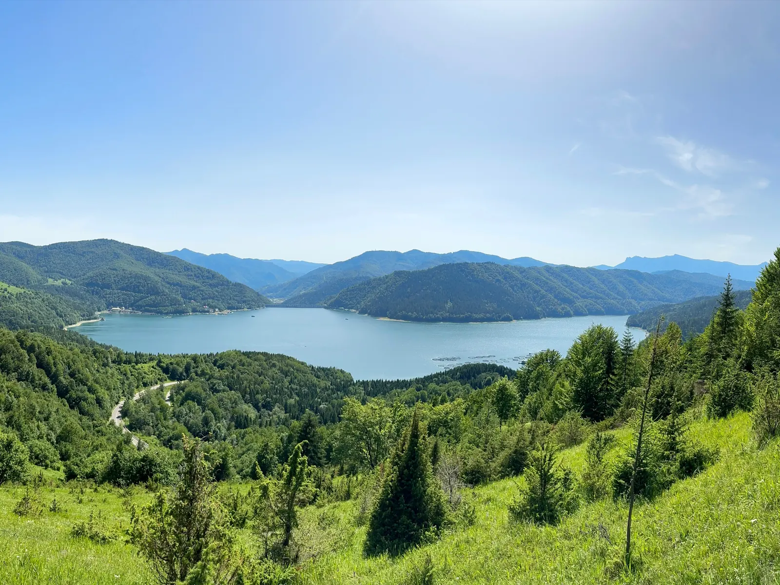
Trail 14: Bicaz Gorge to La Vincli Meadow
8.5 km4–5 hours↑ 870 m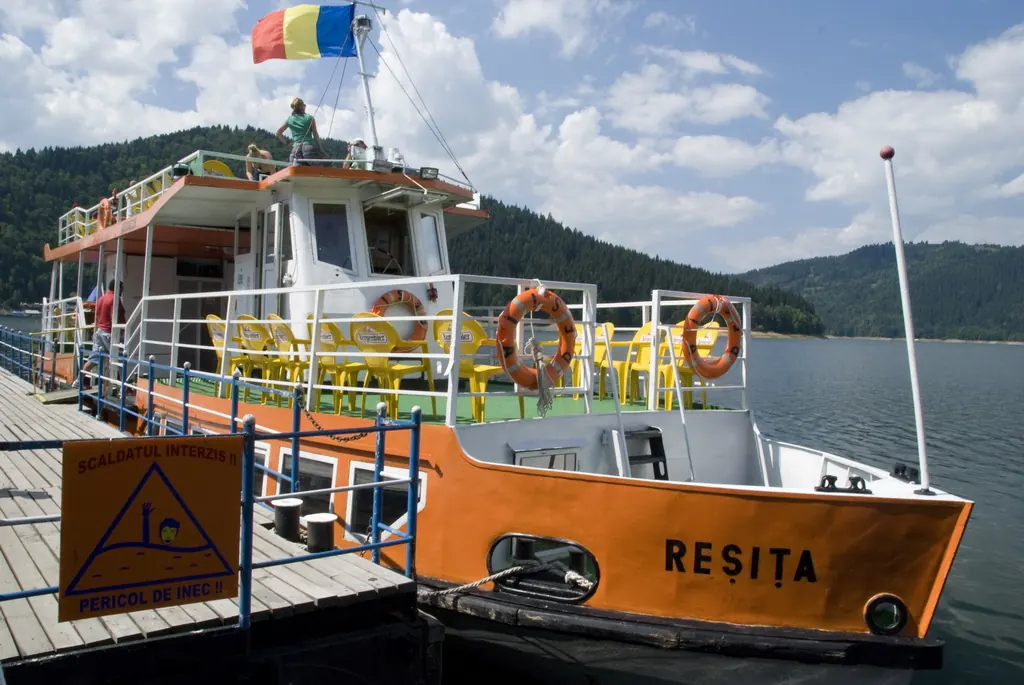
Trail 8: Landing stage – Piatra Cherecului to Poiana Albă
10 km4 hours and 30 minutes↑ 760 m
Photo credits5
- Photo: Wikimedia Commons · CC BY-SA 4.0 (Lacul Roșu)
- Photo: Wikimedia Commons · CC BY-SA 3.0 (Șugău Gorge – Munticelu)
- Photo: Wikimedia Commons · CC BY-SA 3.0 (Bicaz Gorge (Cheile Bicazului–Hășmaș National Park))
- Photo: Wikimedia Commons · Public domain (Ceahlău National Park)
- Photo: Wikimedia Commons · Public domain (Duruitoarea Waterfall)


