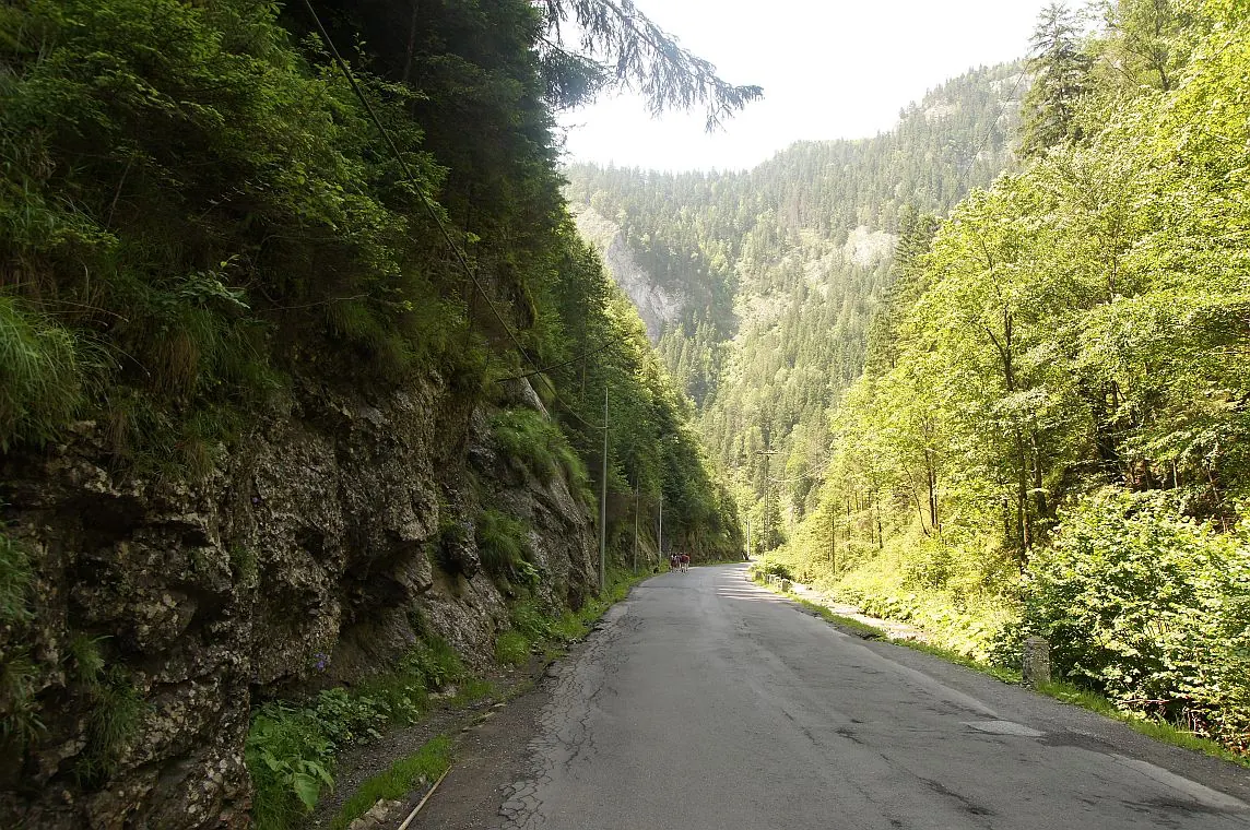
Trail 14: Bicaz Gorge to La Vincli Meadow
- Length
- 8.5 km
- Time
- 4–5 hours
- Difficulty
- Ascent
- 870 m
- Descent
- 287 m
- Altitude
- 856–1501 m
- Waymark
- red dot
- Season
- Not recommended in winter
- Start
- Cheile Bicazului
- Finish
- Poiana La Vincli
Route 14 climbs from Cheile Bicazului, past the foothills and Gâtul Cupașului, up to Poiana La Vincli.
It has a red dot marking, 8.5 km, and a duration of 4–5 hours.
Map of the route
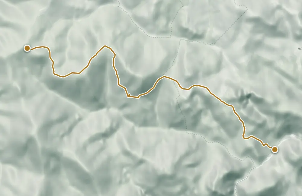 © OpenStreetMap · OpenFreeMap · EU-DEM / Copernicus
- The route
- Start
- Finish
- 1Stops along the way
↑ 870 m↓ 287 m856–1501 m
The stages
Stage 2
Poalele Cupașului (1.080 m)
Stage 3
The clearing behind Cupaș
Stage 4
Gâtul Cupașului (1.275 m)
Stage 5
The clearing in front of Cupaș
Stage 6
Danturașul (1.500 m)
Stage 7
Poiana La Vincli (1.445 m)
Getting there
Access: The start is from Cheile Bicazului, at approximately 850 m altitude.
Before you set out
The trail is not recommended in winter.
The declared elevation difference is 650 m.
- Emergencies
- 112
- Salvamont Neamț
- 0725 826 668
Stay near the start
Nearby


Other trails
Bicaz Chei – Bârnadu – Criminiș – Munticelu – Șugău Gorge
13.3 kmabout 7 hours in winter↑ 1191 m
Bicaz Chei – Bârnadu – Vithovoș Peak
25.11 km7–10 hours↑ 1252 m
Ceahlău: Bicazu Ardelean - Telec - Stănile Saddle - Dochia Hut (blue stripe)
17 km7–8 hours↑ 1257 m
Trail 1: Pângărați Pass – Piatra Singuratică Hut to Tarcău Saddle
22 km8 hours↑ 888 m
Trail 10: Red Lake – Piatra Licoș to Licaș pothole
6 km4 hours↑ 712 m
Trail 8: Landing stage – Piatra Cherecului to Poiana Albă
10 km4 hours and 30 minutes↑ 760 m
Photo credits5
- Photo: Wikimedia Commons · CC BY-SA 3.0 (Bicaz Gorge (Cheile Bicazului–Hășmaș National Park))
- Photo: Wikimedia Commons · CC BY-SA 3.0 (Șugău Gorge – Munticelu)
- Photo: Wikimedia Commons · CC BY-SA 3.0 (Bicaz Gorge (Cheile Bicazului–Hășmaș National Park))
- Photo: Wikimedia Commons · Public domain (Ceahlău National Park)
- Photo: Wikimedia Commons · Public domain (Duruitoarea Waterfall)


