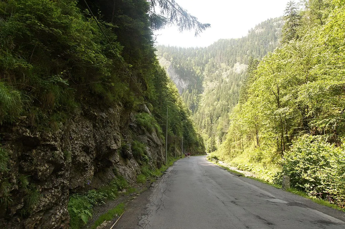
Bicaz Chei – Bârnadu – Criminiș – Munticelu – Șugău Gorge
- Length
- 13.3 km
- Time
- about 7 hours in winter
- Difficulty
- Ascent
- 1191 m
- Altitude
- 670–1363 m
- Waymark
- Unmarked trail, on shepherd paths
- Start
- Bicaz Chei
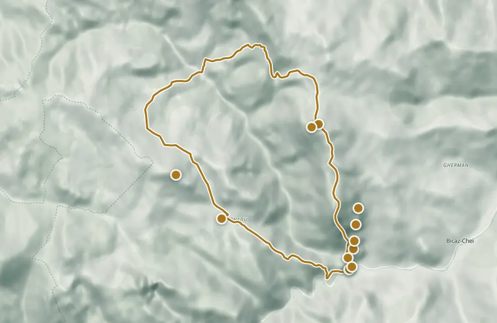
The unmarked mountain circuit starts in Bicaz Chei, passes through Bârnadu and over the peaks Criminiș and Munticelu, then descends towards Cheile Șugăului. The route is 13.3 km, and the indicated duration for winter is about 7 hours.
The shepherds' road passes through Poiana Izvoarelor towards Poarta Lăpoșului, then past sheepfolds, through Poiana Jidanului and Capu Jidanului. From the Munticelu–Criminiș ridge, the descent continues through the forest down to a scree chute.
Along the route, traditional mountain houses and hay meadows appear on the pastures. In the Piatra Glodului area, the crack in the rock forms the entrance to Peștera Tunel.
Map of the route
 © OpenStreetMap · OpenFreeMap · EU-DEM / Copernicus
- The route
- Start
- 1Stops along the way
↑ 1191 m↓ 1199 m670–1363 m

The stages
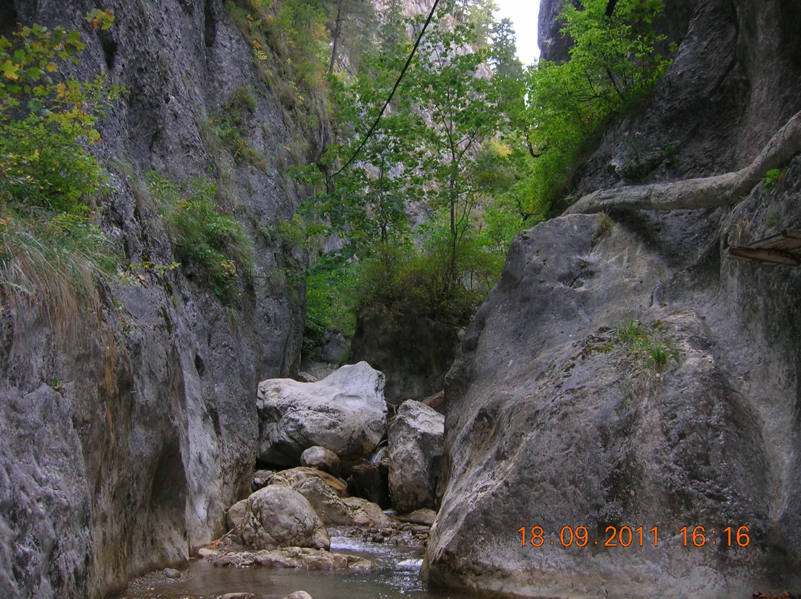
Stage 1
Start, intrarea în chei
From the gorge entrance, the steep climb toward Bârnadu begins.
Stage 2
Bârnadu
In the village, traditional mountain houses and hay barns on pastures are visible.
Stage 3
Peak Ciurgău
Stage 4
Peak Criminiș
From the summit, the trail continues along the Munticelu–Criminiș ridge.
Stage 5
Peak Munticelu
The descent passes through the forest on Munticelu and reaches a scree gully.
Stage 6
Cave Tunel
Tunel Cave crosses the ridge of Piatra Glodului. Light enters through both ends of the tunnel.
Stage 7
Cave Munticelu
The cave has a large hall with stalagmite formations. An artificial light source is needed to enter the cave.
Stage 8
Belvedere Piatra Glodului
Stage 9
Chalet Ecolog
From the cabin, one can see the forest on Munticelu, the gully with scree, the road in Cheile Bicazului, and the limestone quarry at Tașca.
Stage 10
Cheile Șugăului
Stage 11
Poarta rezervației, sosire
Getting there
Access: The starting point is at the entrance to the gorge, near the bus stop; from here, it climbs steeply toward Bârnadu.
Before you set out
The path is not marked. At Cabana Ecolog, a guard dog is mentioned.
The climb to Bârnadu is steep, and the descent from Munticelu goes through a scree gully.
- Emergencies
- 112
- Salvamont Neamț
- 0725 826 668
Stay near the start
Nearby

Other trails
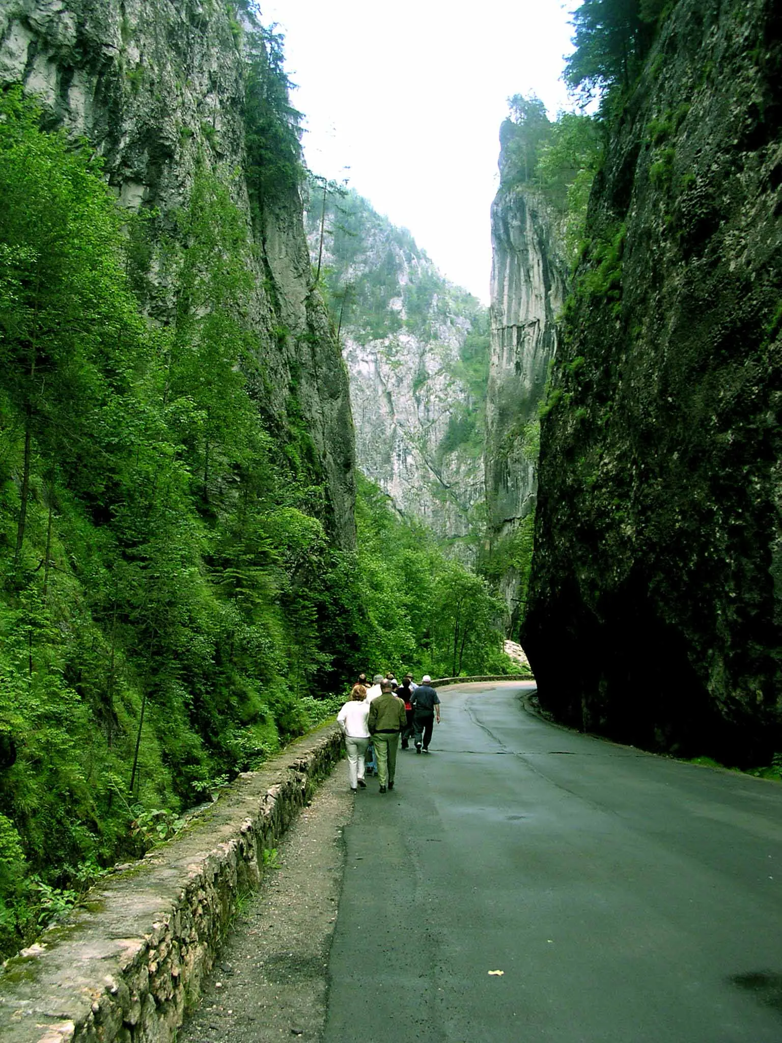
Bicaz Chei – Bârnadu – Vithovoș Peak
25.11 km7–10 hours↑ 1252 m
Ceahlău: Bicazu Ardelean - Telec - Stănile Saddle - Dochia Hut (blue stripe)
17 km7–8 hours↑ 1257 m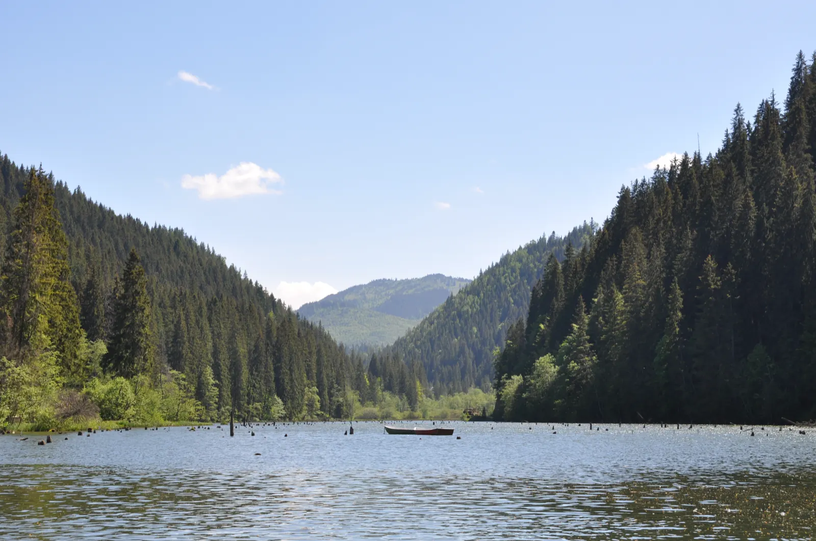
Trail 1: Pângărați Pass – Piatra Singuratică Hut to Tarcău Saddle
22 km8 hours↑ 888 m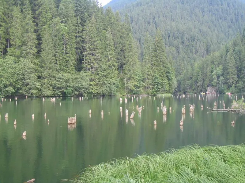
Trail 10: Red Lake – Piatra Licoș to Licaș pothole
6 km4 hours↑ 712 m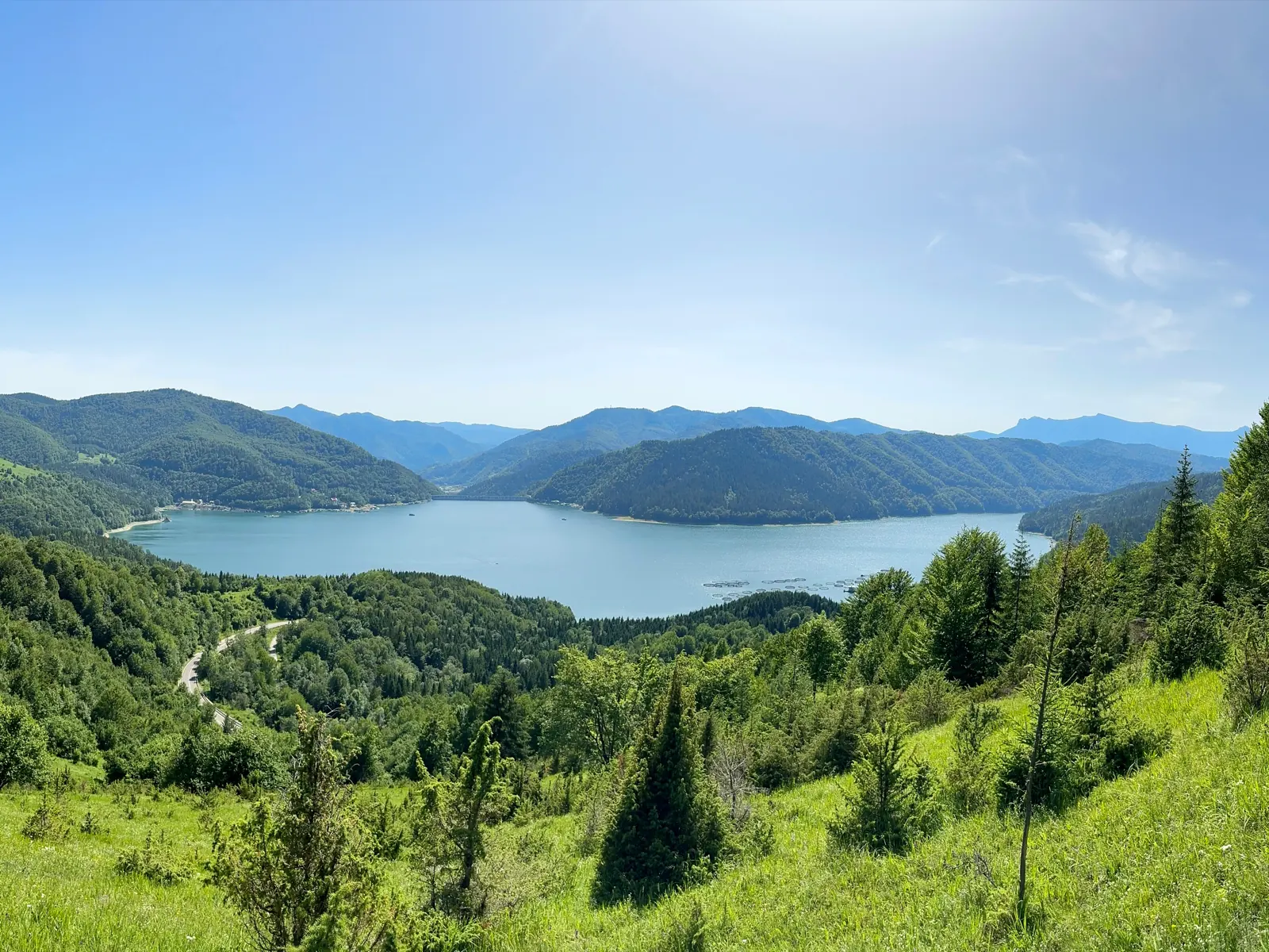
Trail 14: Bicaz Gorge to La Vincli Meadow
8.5 km4–5 hours↑ 870 m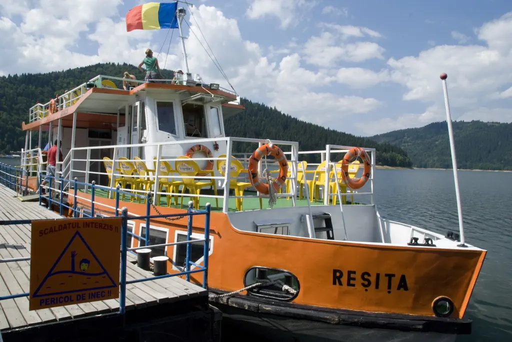
Trail 8: Landing stage – Piatra Cherecului to Poiana Albă
10 km4 hours and 30 minutes↑ 760 m
Photo credits5
- Photo: Wikimedia Commons · CC BY-SA 3.0 (Bicaz Gorge (Cheile Bicazului–Hășmaș National Park))
- Photo: Wikimedia Commons · CC BY-SA 3.0 (Șugău Gorge – Munticelu)
- Photo: Wikimedia Commons · Public domain (Ceahlău National Park)
- Photo: Wikimedia Commons · CC BY-SA 3.0 (Bicaz Gorge (Cheile Bicazului–Hășmaș National Park))
- Photo: Wikimedia Commons · Public domain (Duruitoarea Waterfall)


