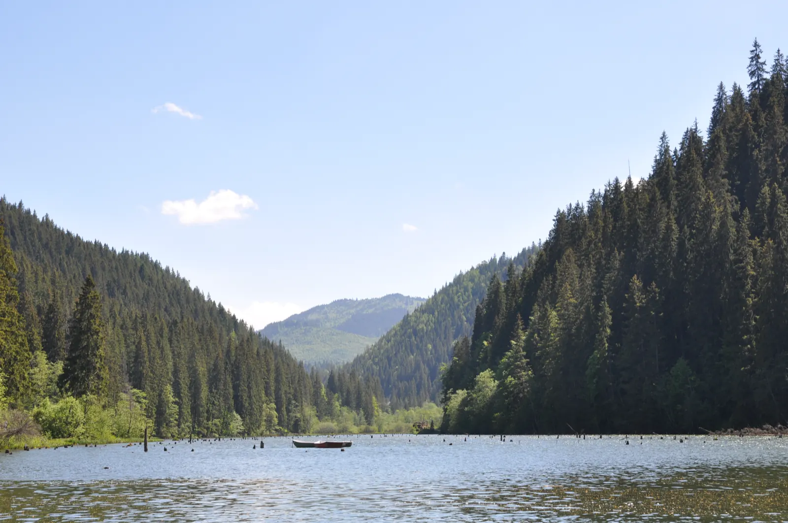
Bicăjel Valley – Paleu ridge – Red Lake
- Length
- 12.8 km
- Time
- about 6 hours
- Difficulty
- Ascent
- 519 m
- Descent
- 551 m
- Altitude
- 838–1246 m
- Waymark
- Red dot
- Start
- Restaurantul Lacul Roșu
- Finish
- Restaurantul Lacul Roșu
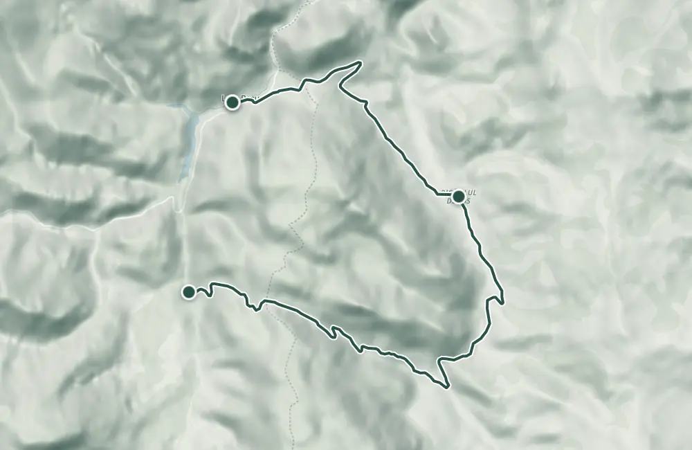
Hiking circuit from Lacul Roșu Restaurant through Bicăjelul de Jos, La Bechet strait, Jgheabul Cherecului, and Poiana lui Paleu. The descent passes through La Fabrica Veche and Valea Pârâului Oii, then returns toward Lacu Roșu. The measured route is 12.8 km and is described as a hike of about 6 hours.
On Culmea lui Paleu, the route overlaps with trail 12, in the opposite direction to the park's list. The description also includes road access and the return along the lake.
Up to La Bechet, access is described as possible in any season.
Map of the route
 © OpenStreetMap · OpenFreeMap · EU-DEM / Copernicus
- The route
- Start
- Finish
- 1Stops along the way
↑ 519 m↓ 551 m838–1246 m
The stages
Stage 1
Restaurantul Lacul Roșu
Stage 2
Bicăjelul de Jos (885 m)
Stage 3
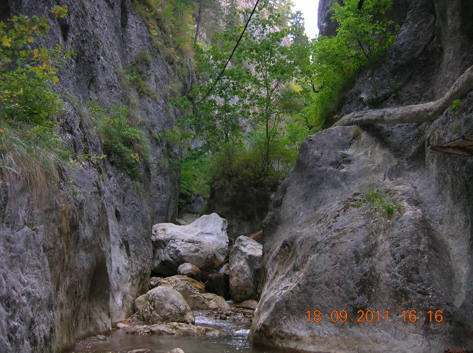
La Bechet
Bicăjel Gorge; here the trail turns right towards Jgheabul Cherecului.
Stage 4
Jgheabul Cherecului
Climb towards Culmea lui Paleu, with a spruce growing on the gully.
Stage 5
Poiana lui Paleu (1242 m)
Clearing on Culmea lui Paleu; from here the descent towards La Fabrica Veche begins.
Stage 6
Village of La Fabrica Veche
Stage 7
Valea Pârâului Oii (1012 m)
Stage 8
Campingul Pârâului Oii
Stage 9
Capătul relației în stațiunea Lacu Roșu
From the resort, the description continues past the lake towards the pier and restaurant.
Getting there
Access: From Lacul Roșu Restaurant, follow the gravel road toward Bicăjelul de Jos. At La Bechet, turn right onto Jgheabul Cherecului; after Poiana lui Paleu, descend through La Fabrica Veche and Valea Oii, then return via DN 12C and the path along the lake.
Before you set out
At La Bechet, do not continue toward Bicăjelul de Sus or Trei Fântâni. The cartographic relation stops at the resort and does not cover the return along the lake to the restaurant.
Medium difficulty; the described duration is about 6 hours.
- Emergencies
- 112
- Salvamont Neamț
- 0725 826 668
Nearby


Other trails
Trail 11: Red Lake – Ghilcoș Meadow to viewpoint
4 km2 hours↑ 390 m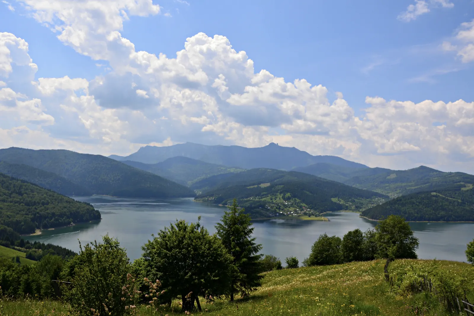
Trail 12: Valea Oii – Paleu ridge to Bicăjel hamlet
4.3 km2 hours↑ 306 m
Trail 13: Landing stage – Ghilcoș Meadow to viewpoint
3.5 km2 hours↑ 112 m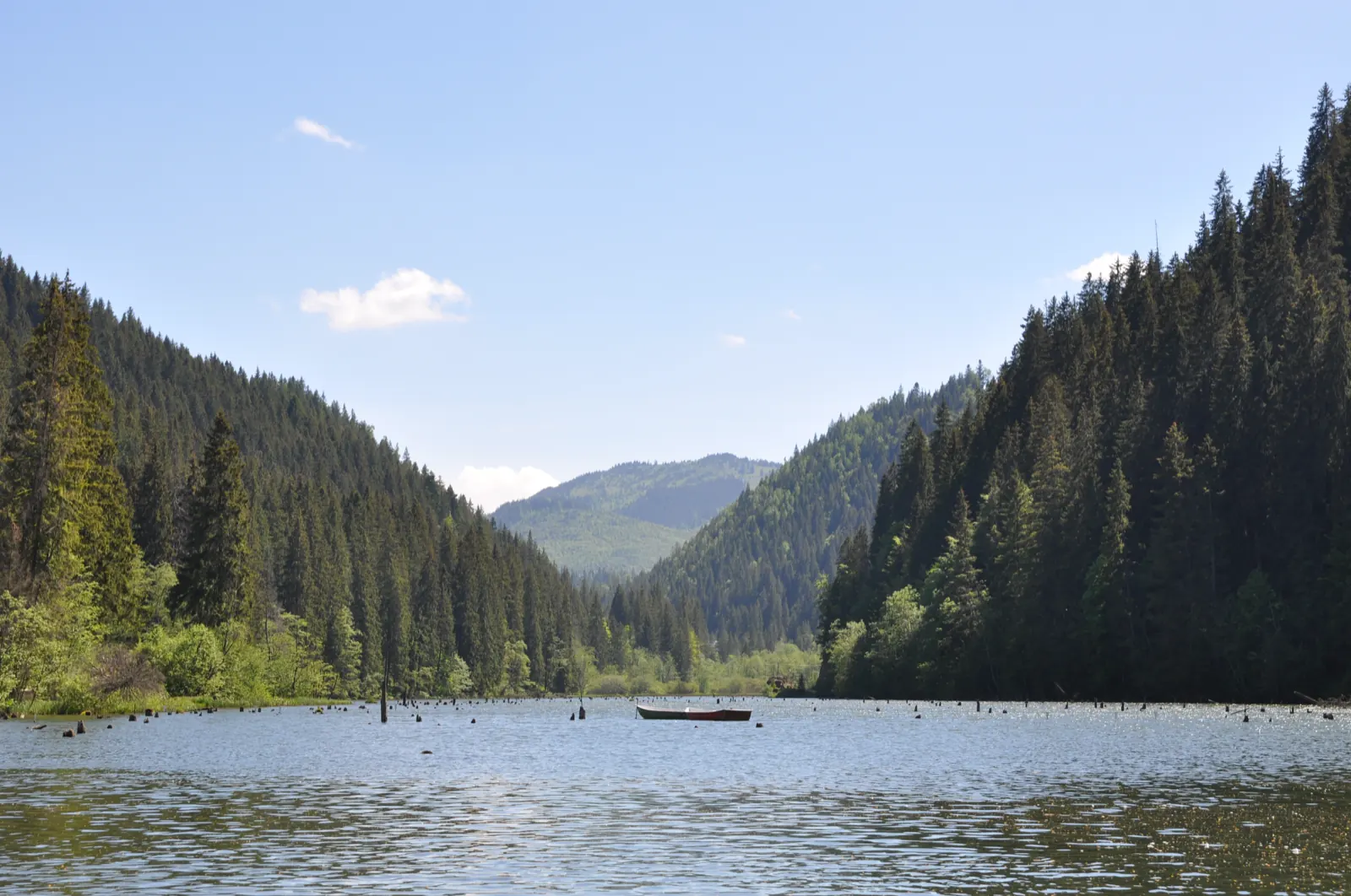
Trail 15: Bicaz Gorge – Lăpoș canyon to Cupaș Saddle
5 km3 hours↑ 534 m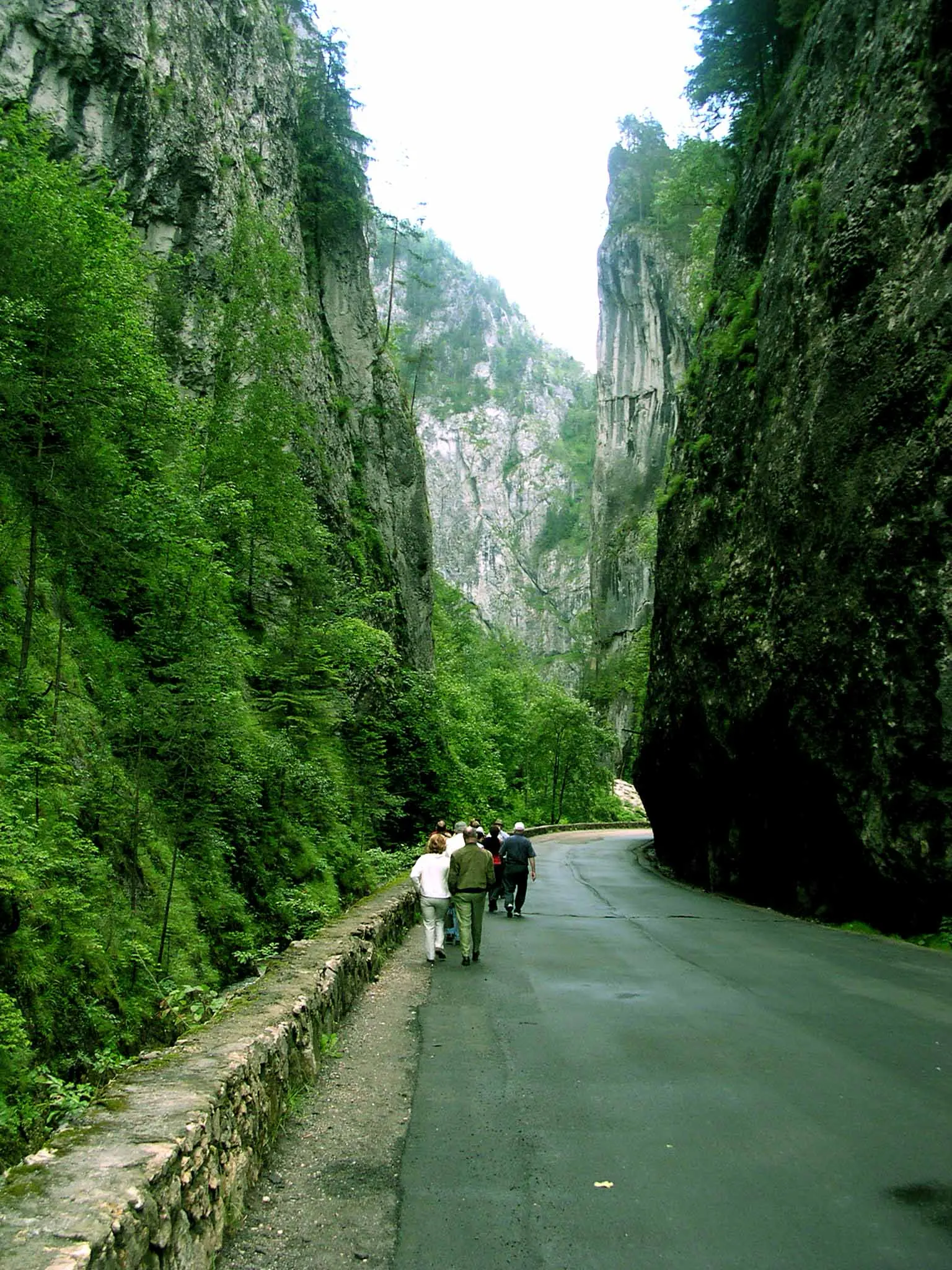
Trail 3: Red Lake – Suhard Hut to Suhardul Mic
3 km1 hour and 15 minutes↑ 337 m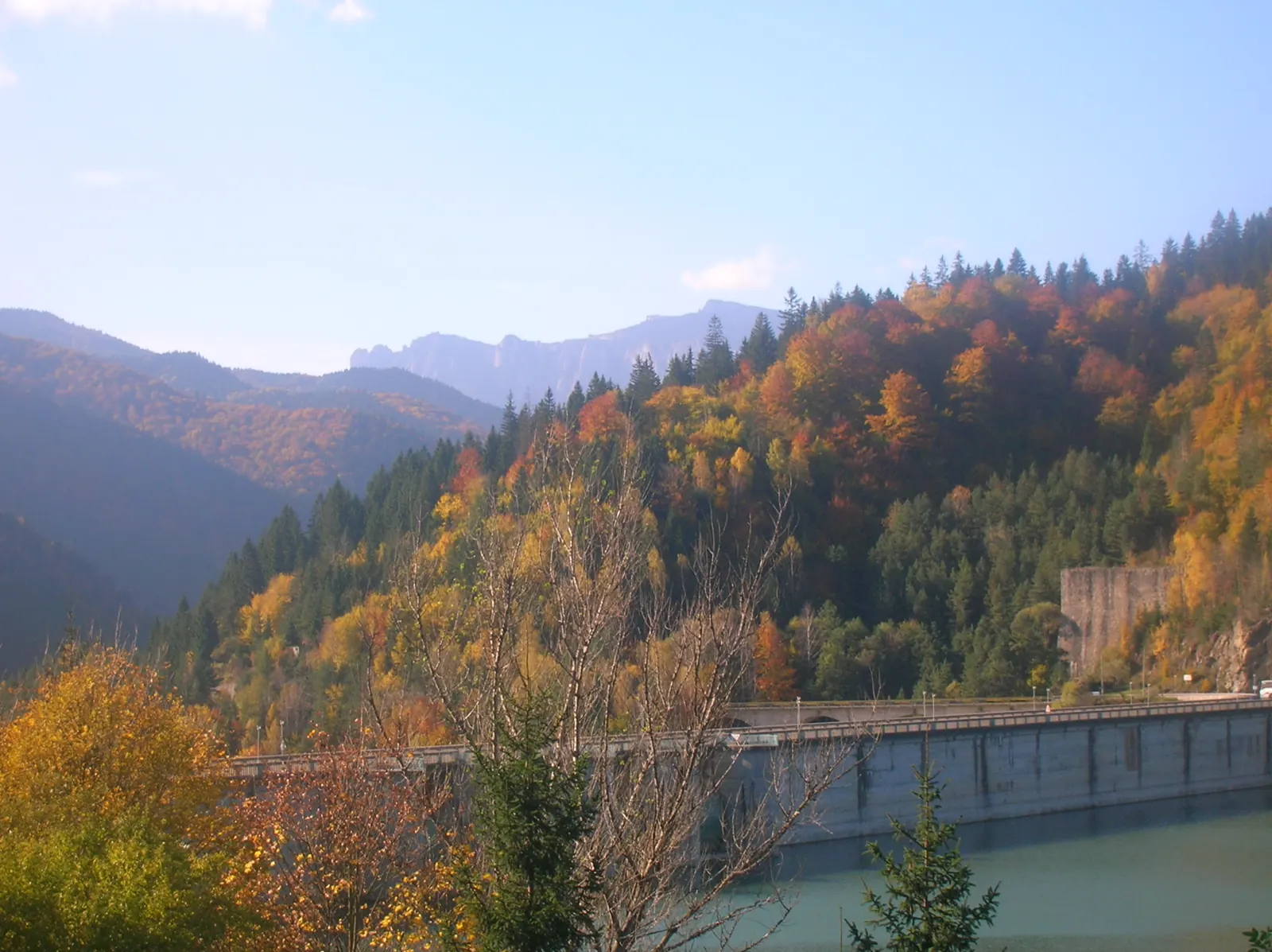
Trail 4: Red Lake – Bicajel Gorge to Surduc road
10 km3–4 hours↑ 652 m
Photo credits5
- Photo: Wikimedia Commons · CC BY-SA 4.0 (Lacul Roșu)
- Photo: Wikimedia Commons · CC BY-SA 3.0 (Șugău Gorge – Munticelu)
- Photo: Wikimedia Commons · CC BY-SA 3.0 (Bicaz Gorge (Cheile Bicazului–Hășmaș National Park))
- Photo: Wikimedia Commons · Public domain (Ceahlău National Park)
- Photo: Wikimedia Commons · Public domain (Duruitoarea Waterfall)


