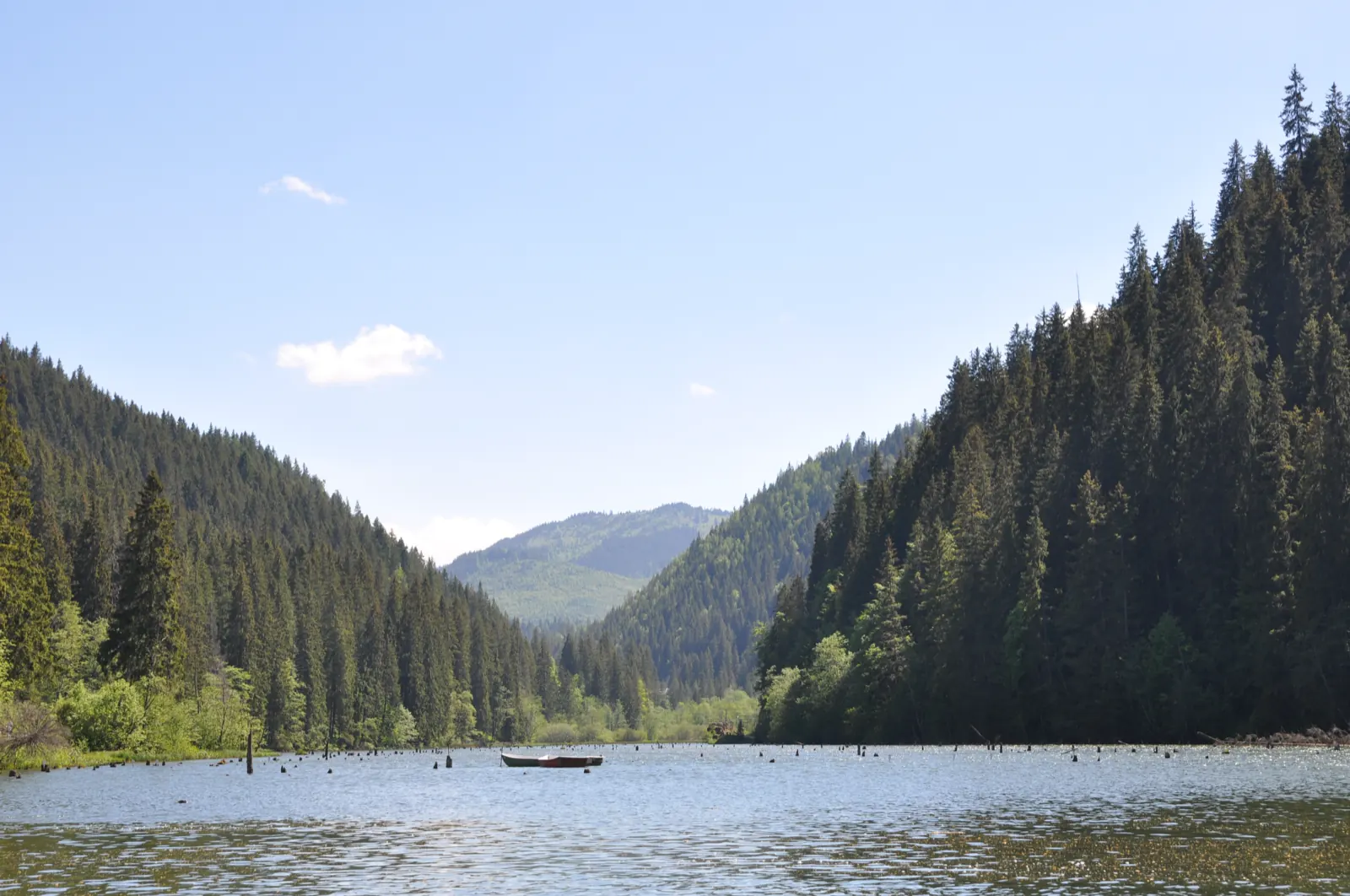
Tarcău – Brateș – Bâtca Răchiței Peak loop
- Length
- 40.8 km
- Difficulty
- Ascent
- 792 m
- Descent
- 369 m
- Altitude
- 393–860 m
- Season
- summer–autumn
- Start
- Fosta carieră de gresie din Tarcău
- Finish
- Fosta carieră de gresie din Tarcău
The hike starts from the former sandstone quarry in Tarcău, climbs to Vârful Bâtca Răchiței, and returns via Vârful Crucea Roșie, Brateșul Unguresc, and Schitul Sfântul Ilie. The indicated duration is approximately 8 hours of sustained walking.
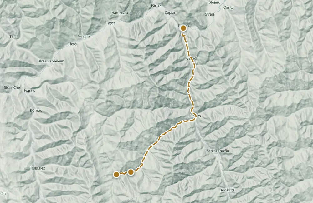
From the quarry, the trail continues on foot along a forest road, then on a path that climbs through a clearing to the right of the peak. After the peak, it descends along the ridge toward Vârful Crucea Roșie and follows the stream through the forest until the forest road. From Brateșul Unguresc, it is approximately 3–4 km to the hermitage.
Map of the route
 © OpenStreetMap · OpenFreeMap · EU-DEM / Copernicus
- The route
- Start
- Finish
- 1Stops along the way
↑ 792 m↓ 369 m393–860 m
At a glance
- Length
- 40.8 km
- Ascent
- 792 m
- Stages
- 7
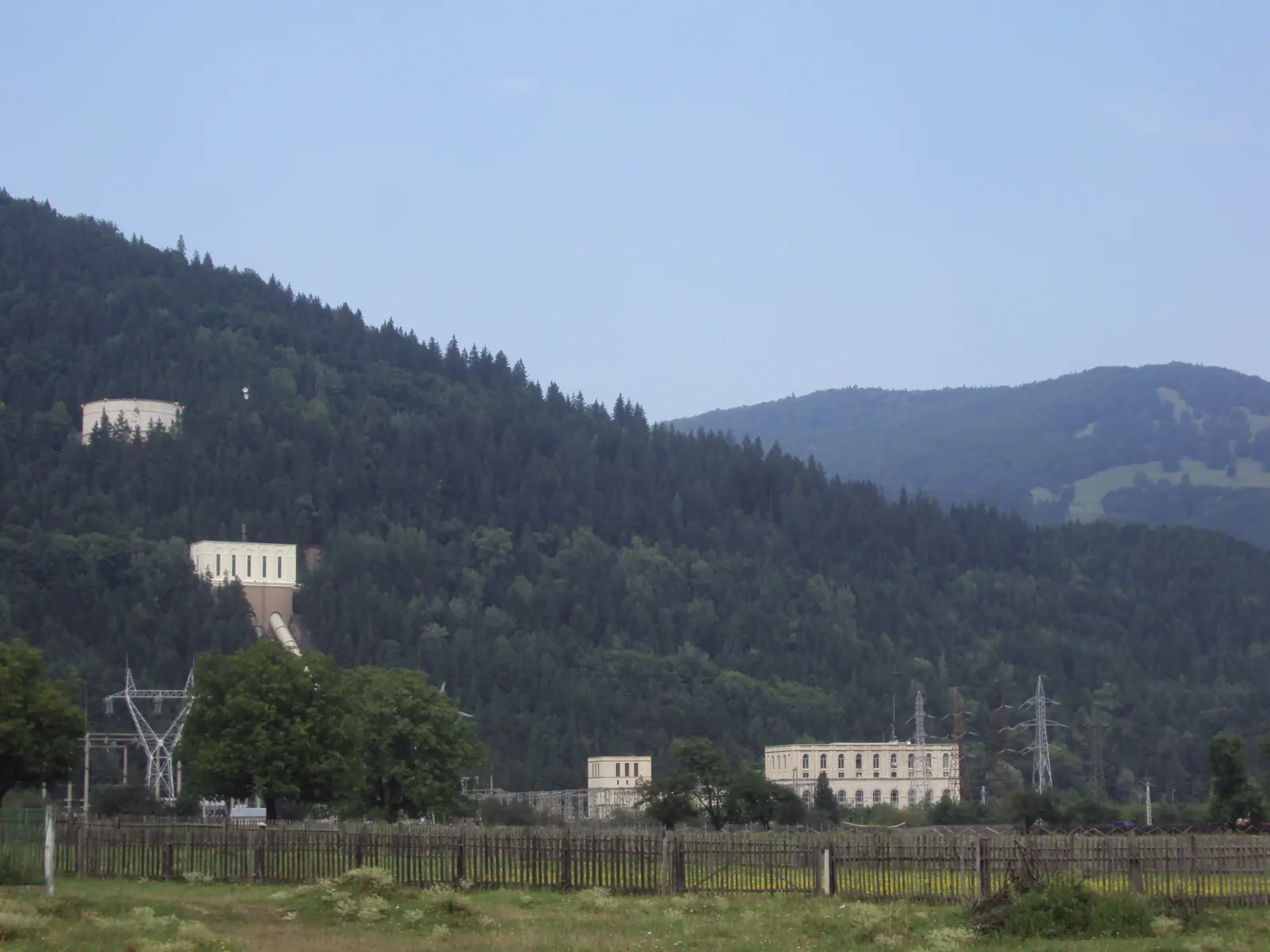
Dimitrie Leonida Hydroelectric Power Plant, Stejaru · 5 km away
The stages
Stage 1
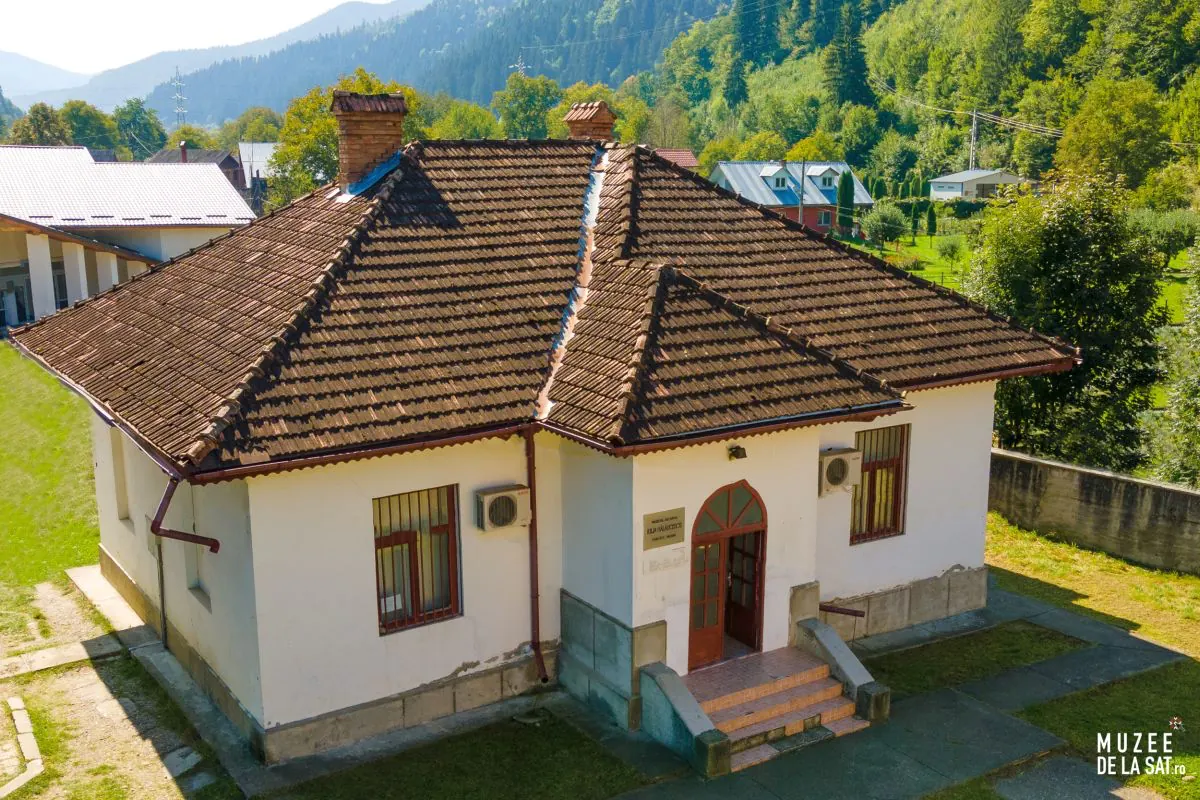
Commune of Tarcău
Stage 2
The former sandstone quarry in Tarcău
Stage 4
Peak Crucea Roșie
Stage 5
Brateșul Unguresc
Village with a few houses, at the edge of the forest.
Stage 6
Hermitage Sfântul Ilie
Stage 7
The former sandstone quarry in Tarcău
Getting there
Access: From the Piatra Neamț – Bicaz road (DN 15), turn toward Tarcău, then continue to Brateș. From there, a dirt road through the forest, parallel to the Brateș stream, leads to the former sandstone quarry.
Parking: The car can be left at the former sandstone quarry.
Before you set out
A guide is required. Do not climb near the quarry: the path there leads to a wildlife observation point.
Approximately 8 hours of sustained walking.
- Emergencies
- 112
- Salvamont Neamț
- 0725 826 668
Stay near the start
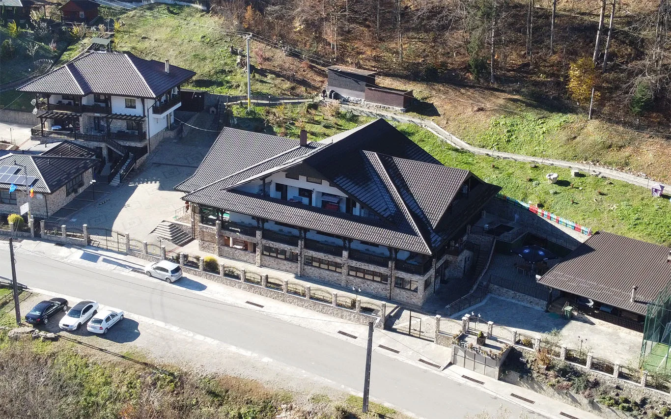
Nearby
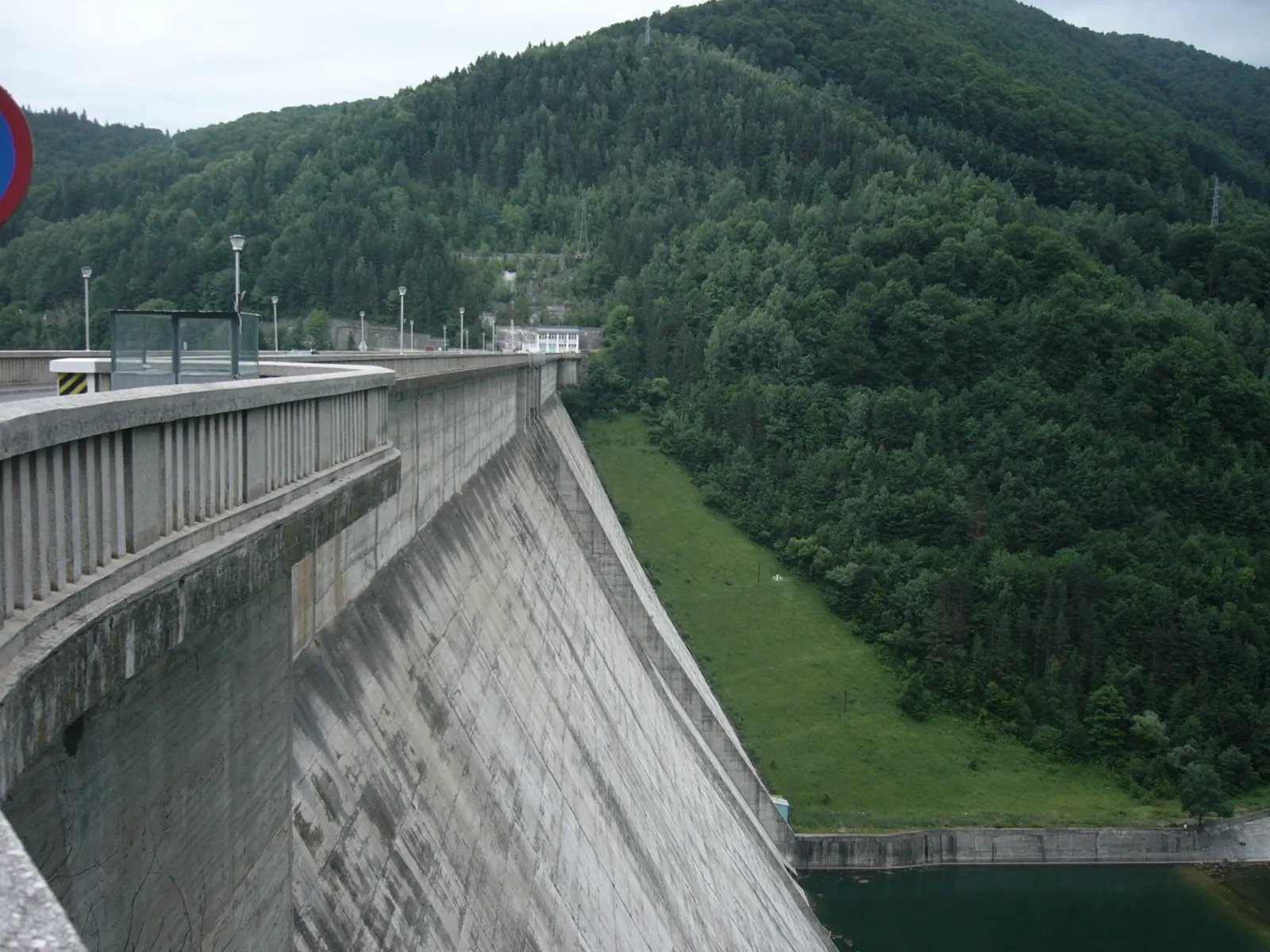
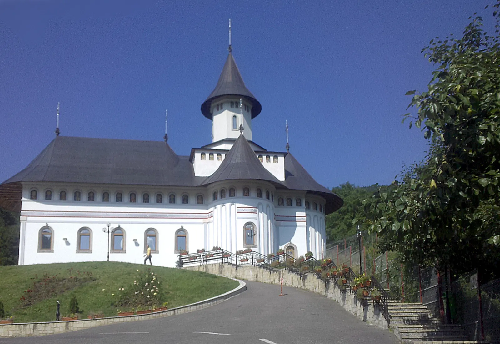
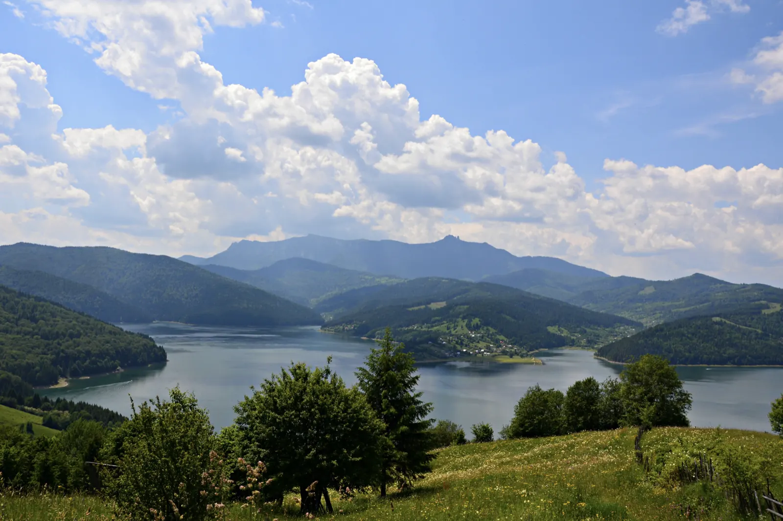
Other trails
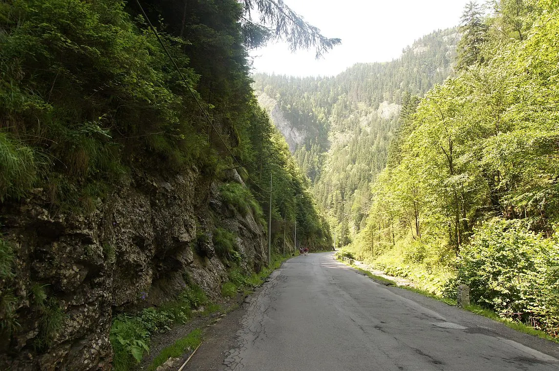
Bicaz Chei – Bârnadu – Criminiș – Munticelu – Șugău Gorge
13.3 kmabout 7 hours in winter↑ 1191 m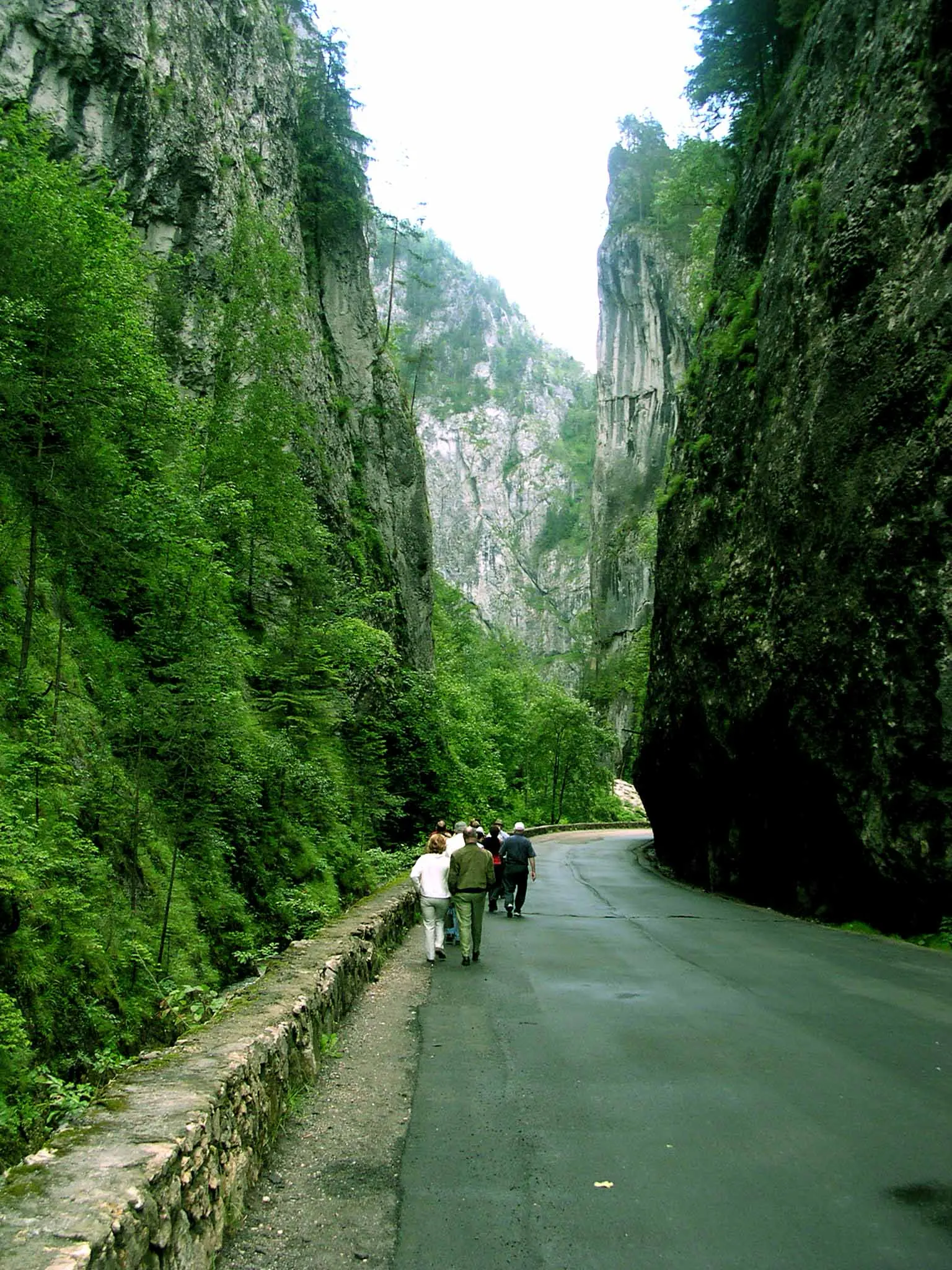
Bicaz Chei – Bârnadu – Vithovoș Peak
25.11 km7–10 hours↑ 1252 m
Ceahlău: Bicazu Ardelean - Telec - Stănile Saddle - Dochia Hut (blue stripe)
17 km7–8 hours↑ 1257 m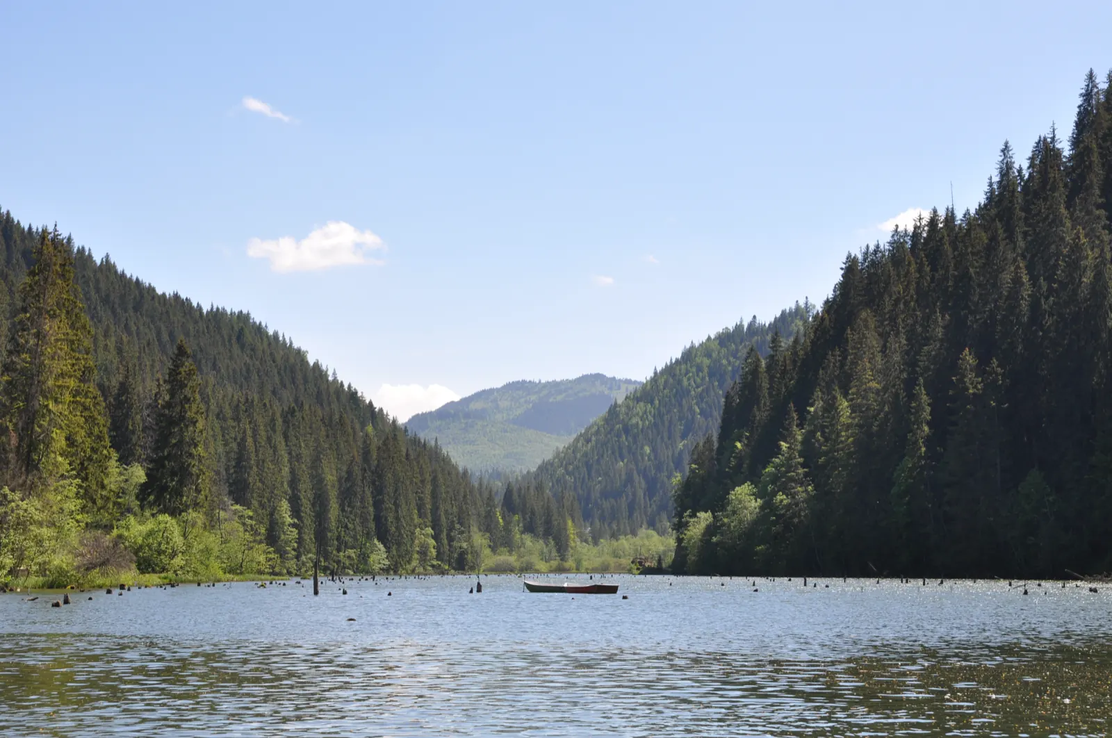
Trail 1: Pângărați Pass – Piatra Singuratică Hut to Tarcău Saddle
22 km8 hours↑ 888 m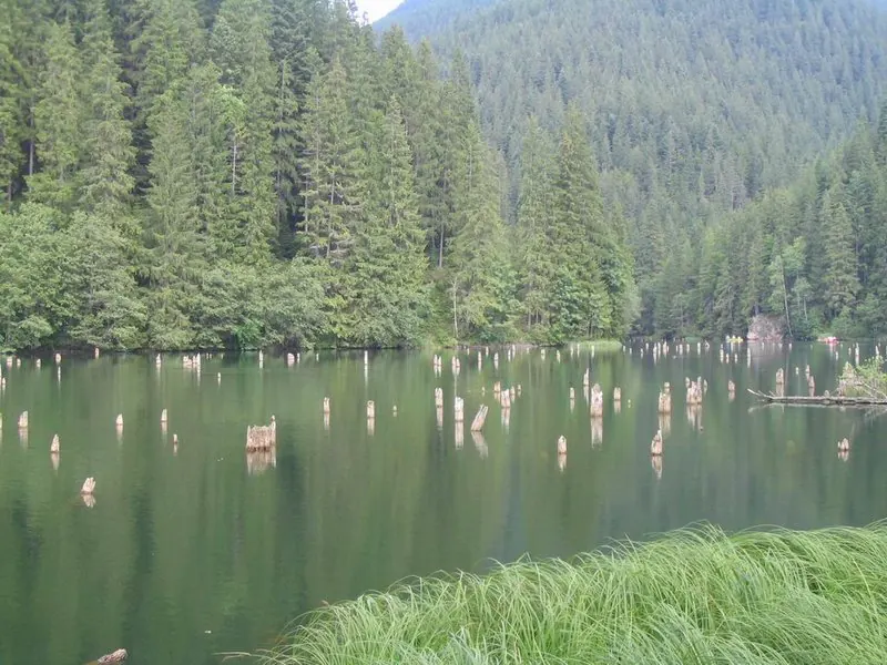
Trail 10: Red Lake – Piatra Licoș to Licaș pothole
6 km4 hours↑ 712 m
Trail 14: Bicaz Gorge to La Vincli Meadow
8.5 km4–5 hours↑ 870 m
Photo credits7
- Photo: Wikimedia Commons · CC BY-SA 4.0 (Lacul Roșu)
- Photo: Wikimedia Commons · CC BY-SA 4.0 (Iulia Hălăucescu Art Museum, Tarcău)
- Photo: Wikimedia Commons · CC BY-SA 4.0 (Dimitrie Leonida Hydroelectric Power Plant, Stejaru)
- Photo: Wikimedia Commons · CC BY 3.0 (Izvorul Muntelui Dam (Bicaz Dam))
- Photo: Wikimedia Commons · Public domain (Pângărați Monastery)
- Photo: Wikimedia Commons · CC BY-SA 3.0 (Izvorul Muntelui Lake (Lake Bicaz))
- Photo: Wikimedia Commons (Chez Marie Rooms for Rent)


