
Traseul 7 Ceahlău: Sat Neagra – Curmătura Văratec – Poiana Maicilor – Cabana Dochia
- Length
- 14 km
- Time
- 6–7 h
- Difficulty
- Ascent
- 1483 m
- Descent
- 256 m
- Altitude
- 530–1763 m
- Waymark
- Blue cross
- Start
- Satul Neagra
- Finish
- Cabana Dochia
Trail 7 climbs from the village of Neagra, in the south of the Ceahlău Massif, through Curmătura Văratec and Poiana Maicilor up to Cabana Dochia.
It is 14 km, takes 6–7 h, and is marked with a blue cross.
Map of the route
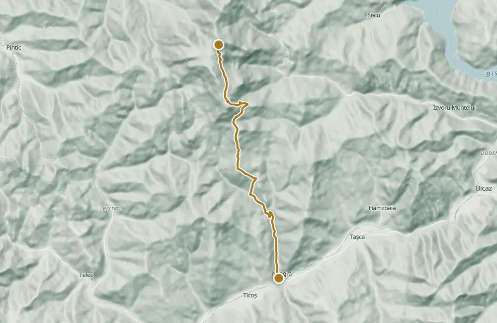 © OpenStreetMap · OpenFreeMap · EU-DEM / Copernicus
- The route
- Start
- Finish
↑ 1483 m↓ 256 m530–1763 m

The stages
Stage 1
Village of Neagra
Stage 2
Curmătura Văratec
Stage 3
Poiana Maicilor
Stage 4
Chalet Dochia
Getting there
Access: Departure from the village of Neagra (540 m), in the south of the Ceahlău Massif.
Nearby
Other trails
Bicaz Chei – Bârnadu – Criminiș – Munticelu – Șugău Gorge
13.3 kmabout 7 hours in winter↑ 1191 m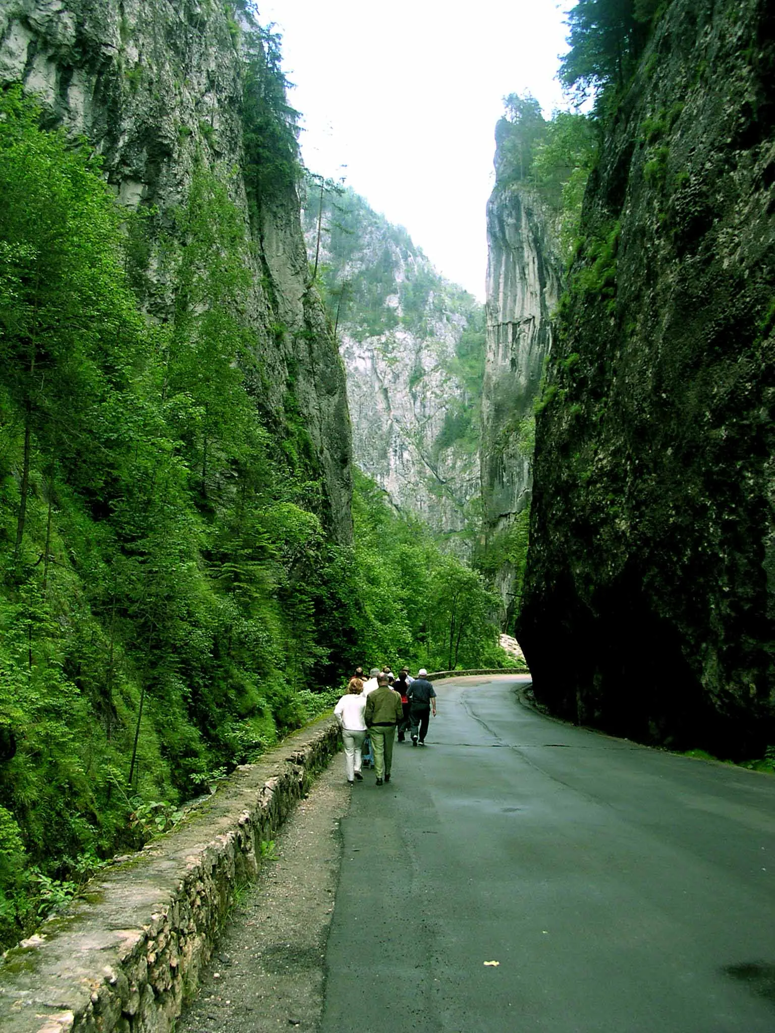
Bicaz Chei – Bârnadu – Vithovoș Peak
25.11 km7–10 hours↑ 1252 m
Ceahlău: Bicazu Ardelean - Telec - Stănile Saddle - Dochia Hut (blue stripe)
17 km7–8 hours↑ 1257 m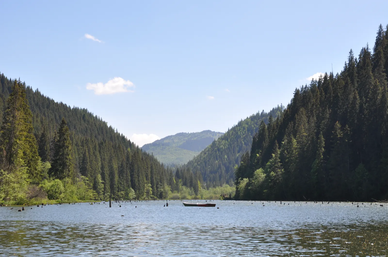
Trail 1: Pângărați Pass – Piatra Singuratică Hut to Tarcău Saddle
22 km8 hours↑ 888 m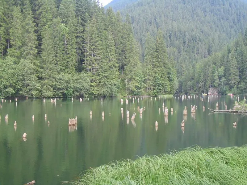
Trail 10: Red Lake – Piatra Licoș to Licaș pothole
6 km4 hours↑ 712 m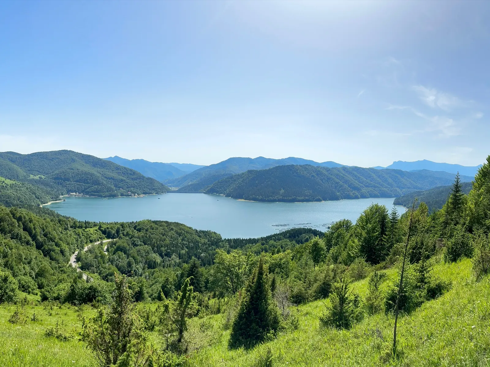
Trail 14: Bicaz Gorge to La Vincli Meadow
8.5 km4–5 hours↑ 870 m
Photo credits4
- Photo: Wikimedia Commons · Public domain (Ceahlău National Park)
- Photo: Wikimedia Commons · Public domain (Duruitoarea Waterfall)
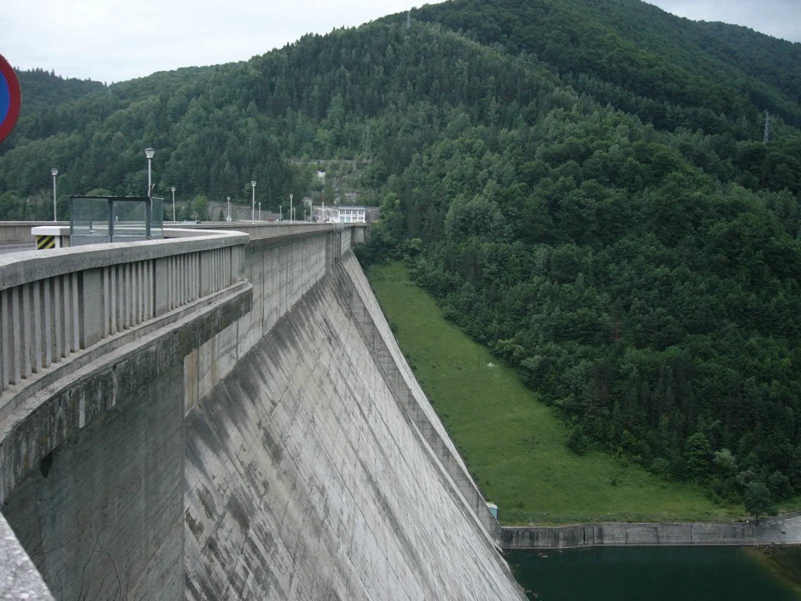
- Photo: Wikimedia Commons · CC BY 3.0 (Izvorul Muntelui Dam (Bicaz Dam))
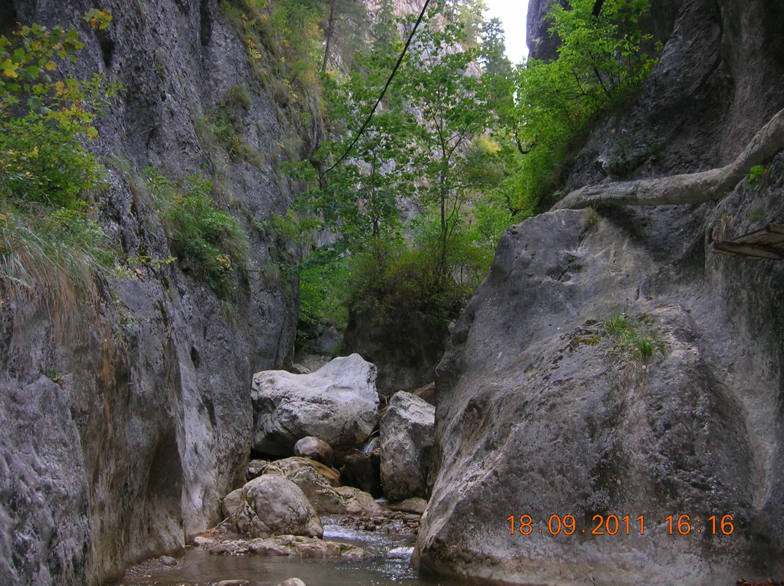
- Photo: Wikimedia Commons · CC BY-SA 3.0 (Șugău Gorge – Munticelu)


